Bolehill Plantation
Wood, Forest in Derbyshire North East Derbyshire
England
Bolehill Plantation

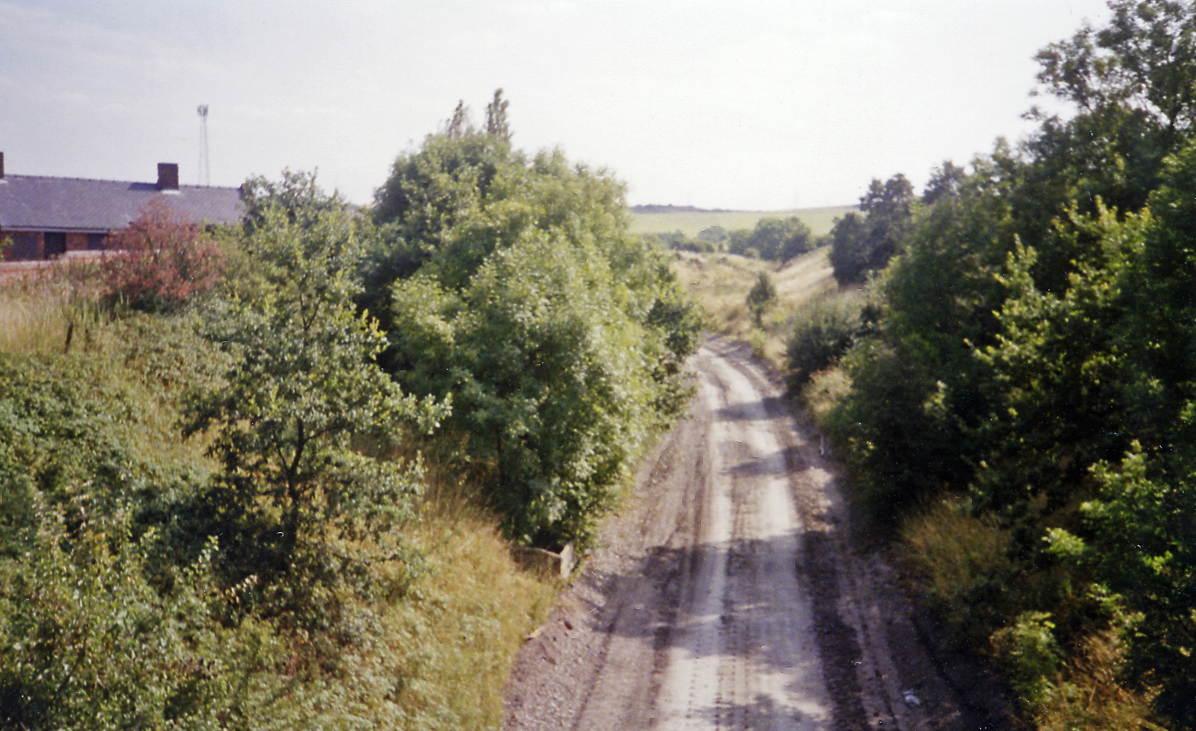
Bolehill Plantation is a serene woodland located in Derbyshire, England. Situated near the village of Bolehill, it covers an area of approximately 50 hectares and is a popular destination for nature enthusiasts and hikers.
The plantation primarily consists of a mixed woodland, with a variety of tree species including oak, birch, beech, and Scots pine. The dense canopy provides ample shade during the summer months and creates a tranquil and peaceful atmosphere. The forest floor is covered in a thick carpet of moss and ferns, adding to the enchanting beauty of the area.
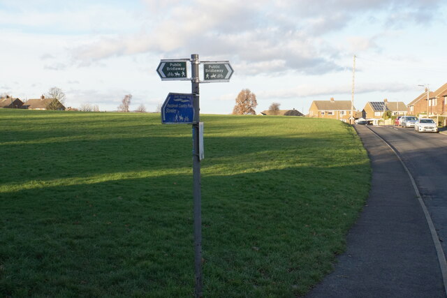
The plantation is crisscrossed by several well-maintained footpaths, allowing visitors to explore the woodland at their own pace. These pathways lead through diverse habitats, such as open glades, wildflower meadows, and small ponds, which provide homes to a range of wildlife including birds, insects, and small mammals.
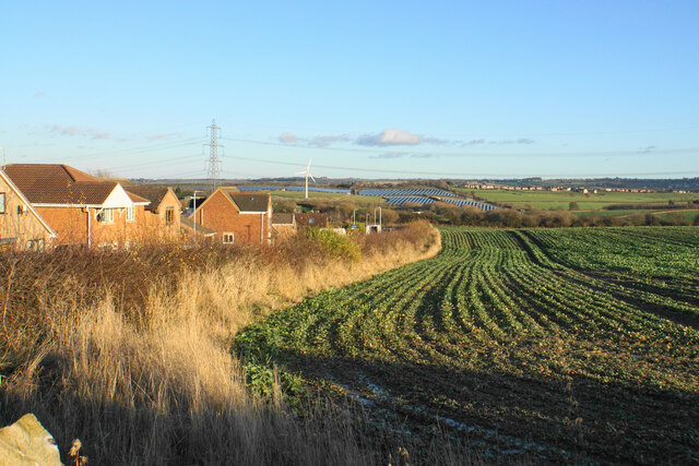
One of the highlights of Bolehill Plantation is its breathtaking views. From certain vantage points within the woods, visitors can enjoy panoramic vistas of the surrounding countryside, with rolling hills and valleys stretching as far as the eye can see. These viewpoints are particularly stunning during autumn when the foliage transforms into a vibrant kaleidoscope of red, orange, and gold.
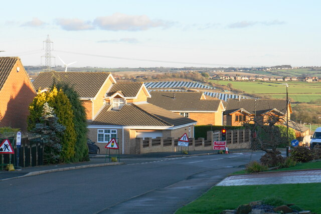
The plantation is managed by the local authorities to ensure the preservation of its natural beauty and biodiversity. It is a cherished green space for locals and visitors alike, offering a peaceful retreat from the hustle and bustle of everyday life and providing a valuable habitat for flora and fauna.
If you have any feedback on the listing, please let us know in the comments section below.
Bolehill Plantation Images
Images are sourced within 2km of 53.229933/-1.3778484 or Grid Reference SK4170. Thanks to Geograph Open Source API. All images are credited.


Bolehill Plantation is located at Grid Ref: SK4170 (Lat: 53.229933, Lng: -1.3778484)
Administrative County: Derbyshire
District: North East Derbyshire
Police Authority: Derbyshire
What 3 Words
///truth.gold.famous. Near Chesterfield, Derbyshire
Nearby Locations
Related Wikis

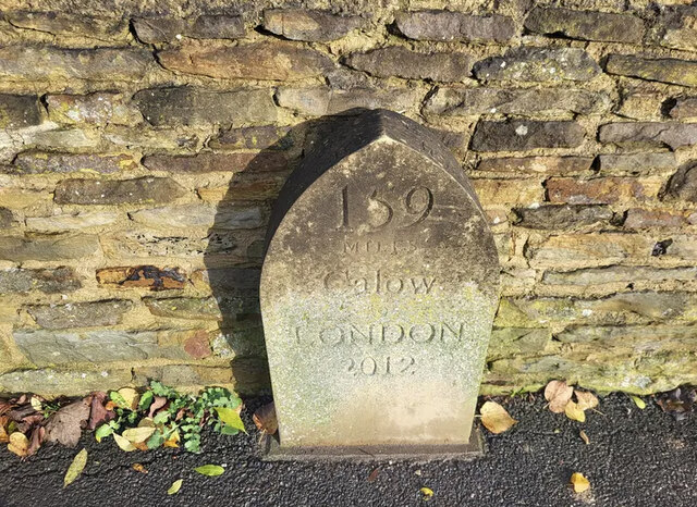
Calow
Calow is a village and civil parish in the county of Derbyshire in England. The population of the village at the 2011 census was 2,494. Calow is in North...

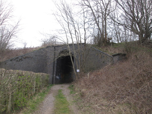
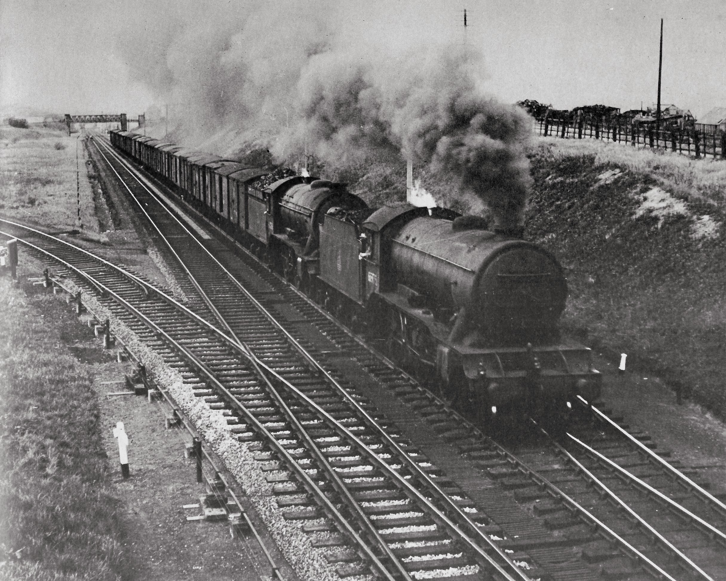
Duckmanton Tunnel
Duckmanton Tunnel is a former 501-yard (458-metre) long twin-track railway tunnel between Chesterfield and Arkwright Town in Derbyshire, England. ��2...
Duckmanton Junction
Duckmanton Junction is a former railway junction near Arkwright Town in Derbyshire, England. == Context == Duckmanton Junction (sometimes referred to as...
Arkwright Town railway station
Arkwright Town railway station was in Arkwright Town, Derbyshire, England. == History == The line and station were opened by the LD&ECR in March 1897....
Duckmanton South Junction
Duckmanton South Junction is a former railway junction near Arkwright Town in Derbyshire, England. == Context == Duckmanton South Junction was one of four...
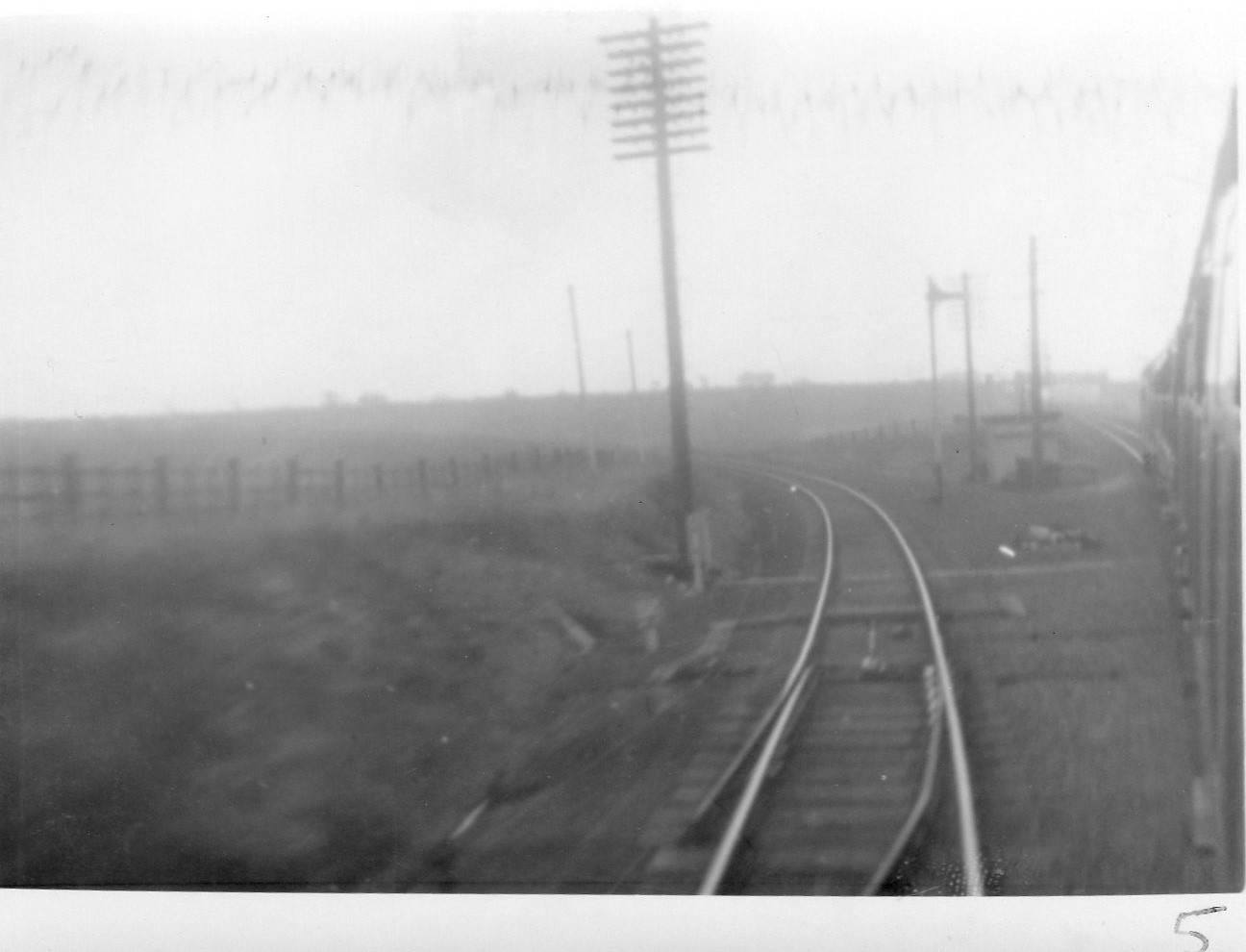
Duckmanton North Junction
Duckmanton North Junction is a former railway junction near Arkwright Town in Derbyshire, England. == Context == Duckmanton North Junction was one of four...

Duckmanton East Junction
Duckmanton East Junction is a former railway junction near Arkwright Town in Derbyshire, England. == Context == Duckmanton East Junction was one of four...
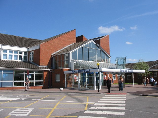
Chesterfield Royal Hospital
Chesterfield Royal Hospital is an acute general hospital in Chesterfield, Derbyshire. It is managed by the Chesterfield Royal Hospital NHS Foundation Trust...
Nearby Amenities
Located within 500m of 53.229933,-1.3778484Have you been to Bolehill Plantation?
Leave your review of Bolehill Plantation below (or comments, questions and feedback).