Bolehill
Settlement in Derbyshire
England
Bolehill

Bolehill is a small village located in the Amber Valley district of Derbyshire, England. Situated about 3 miles northwest of the town of Belper, it is nestled in the picturesque Derbyshire Dales. The village is predominantly residential, with a population of around 500 people.
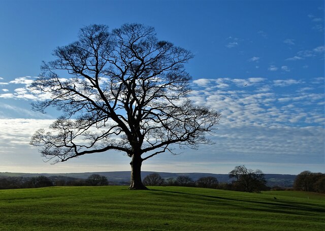
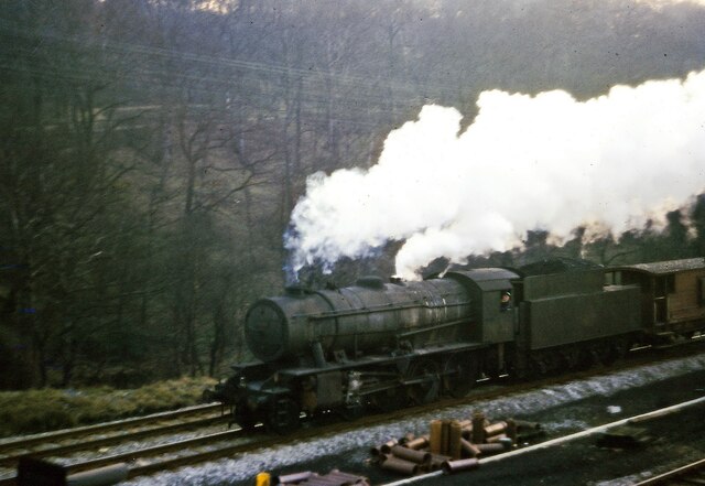
Bolehill is known for its charming and quaint atmosphere, with many of its buildings dating back to the 18th and 19th centuries. The village is surrounded by rolling hills and lush green fields, providing breathtaking views of the countryside. It is also famous for its historic lead mining past, with several disused mines and quarries scattered throughout the area.
Despite its small size, Bolehill offers a range of amenities for its residents. These include a local convenience store, a primary school, and a village hall, which serves as a hub for community activities and events. The village also has a traditional pub, where locals and visitors can enjoy a drink or a meal.
For outdoor enthusiasts, Bolehill provides ample opportunities for walking and exploring the surrounding nature. The nearby Black Rocks, a rocky outcrop, is a popular destination for hikers and climbers. Additionally, the village is located close to the Peak District National Park, offering access to a myriad of outdoor activities, including cycling, horse riding, and bird watching.
Overall, Bolehill is a peaceful and charming village that offers its residents and visitors a tranquil countryside lifestyle, combined with easy access to nearby towns and the stunning natural beauty of the surrounding area.
If you have any feedback on the listing, please let us know in the comments section below.
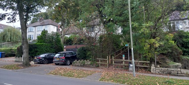
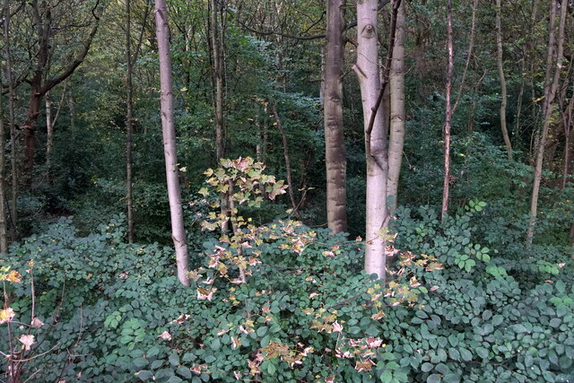
Bolehill Images
Images are sourced within 2km of 53.34002/-1.471748 or Grid Reference SK3582. Thanks to Geograph Open Source API. All images are credited.


Bolehill is located at Grid Ref: SK3582 (Lat: 53.34002, Lng: -1.471748)
Unitary Authority: Sheffield
Police Authority: South Yorkshire
What 3 Words
///rails.remain.rated. Near Dronfield, Derbyshire
Nearby Locations
Related Wikis

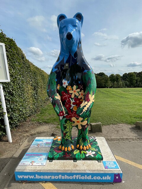
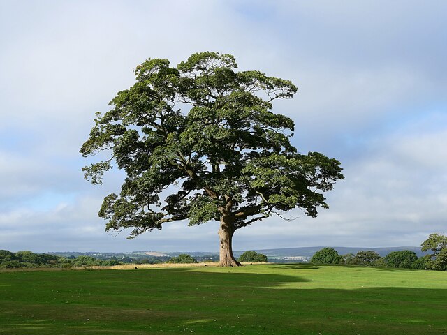
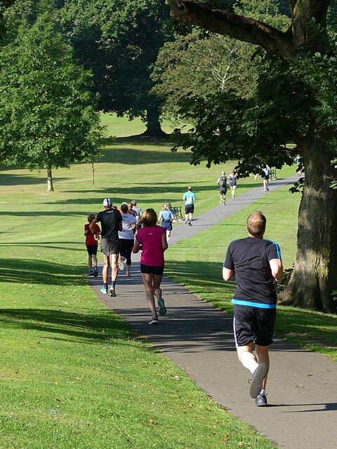
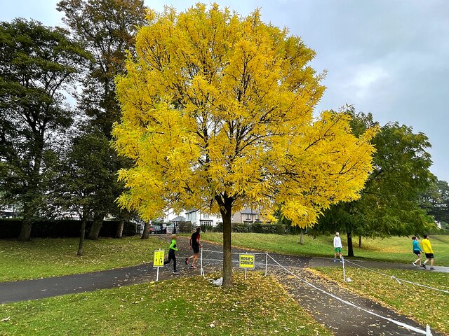
Graves Park
Graves Park is a large parkland area in the South of Sheffield, between the districts of Norton, Woodseats and Meadowhead. The park was developed by Alderman...

Graves Park (ward)
Graves Park ward—which includes the districts of Norton, Norton Lees, Norton Woodseats, and Woodseats—is one of the 28 electoral wards in City of Sheffield...

Woodseats
Woodseats is a district of Sheffield, South Yorkshire in the Graves Park ward. Historically, Norton Woodseats (grid reference SK347833) was a village that...
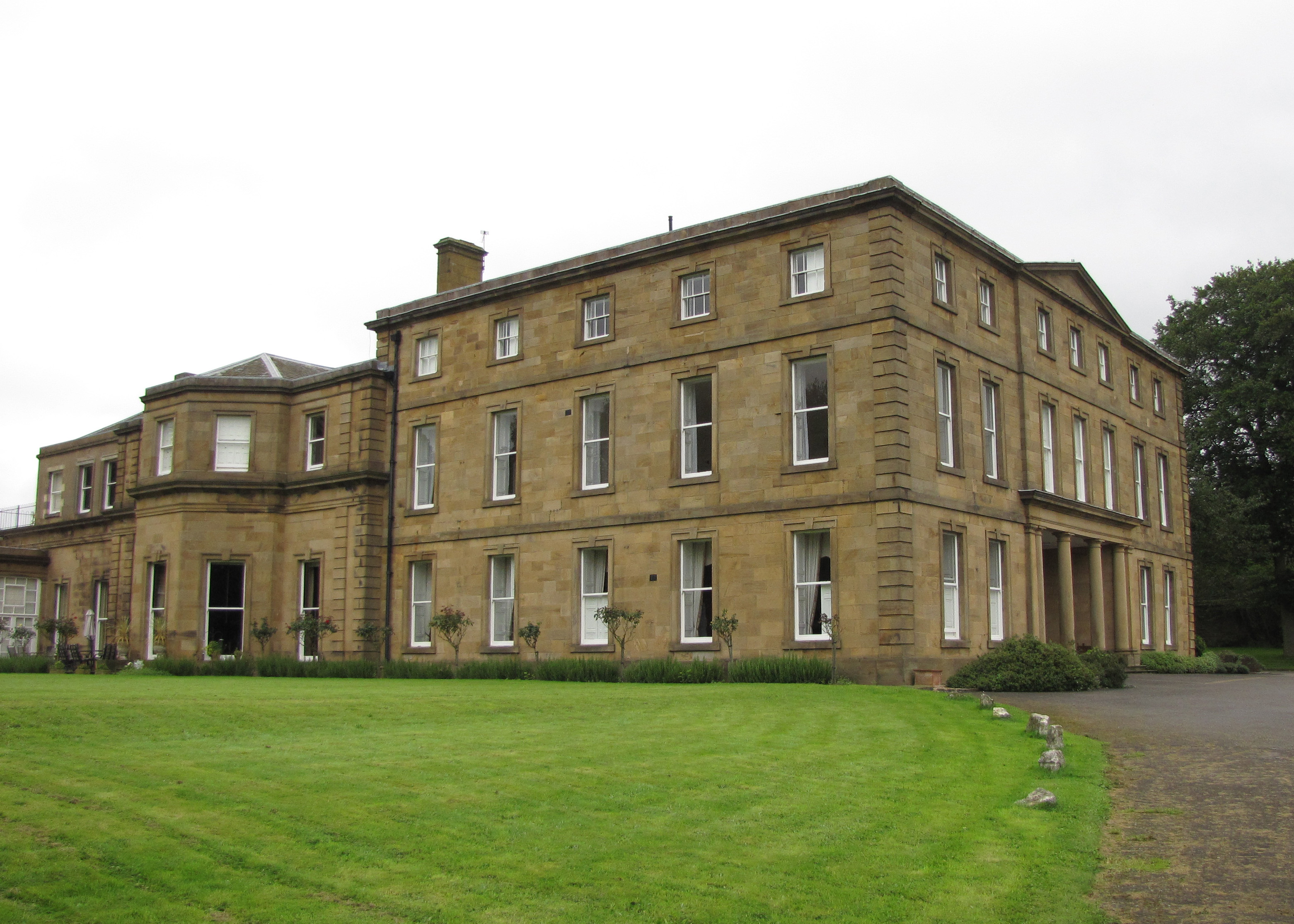
Norton Hall
Norton Hall is an English country house situated on Norton Church Road in the suburb of Norton in Sheffield, England. For most of its history it has been...

Norton Cemetery, Sheffield
Norton Cemetery is one of the city of Sheffield's many cemeteries. It was opened on 6 June 1869, and covers 6 acres (24,000 m2). Norton is a smaller cemetery...

St James, Norton
St James, Norton is the Church of England parish church of the Norton district of Sheffield, South Yorkshire, England. == History == The Domesday Book...

Newfield Secondary School
Newfield Secondary School is a coeducational secondary school with academy status for 11–16-year-old children, situated in the south of the city of Sheffield...
Norton Lees
Norton Lees (grid reference SK353839) is a residential suburb in the Graves Park ward of the City of Sheffield, England located to the east of Woodseats...
Nearby Amenities
Located within 500m of 53.34002,-1.471748Have you been to Bolehill?
Leave your review of Bolehill below (or comments, questions and feedback).