Bolehill

Settlement in Derbyshire North East Derbyshire

England

Bolehill

Barley field near the Linacre Reservoirs Chesterfield is seen in the distance.
Barley field near the Linacre Reservoirs Credit: Bill Boaden

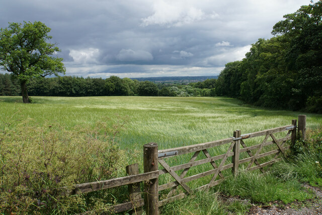
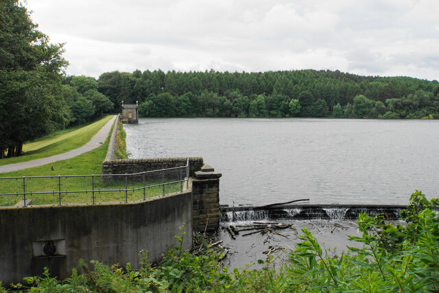
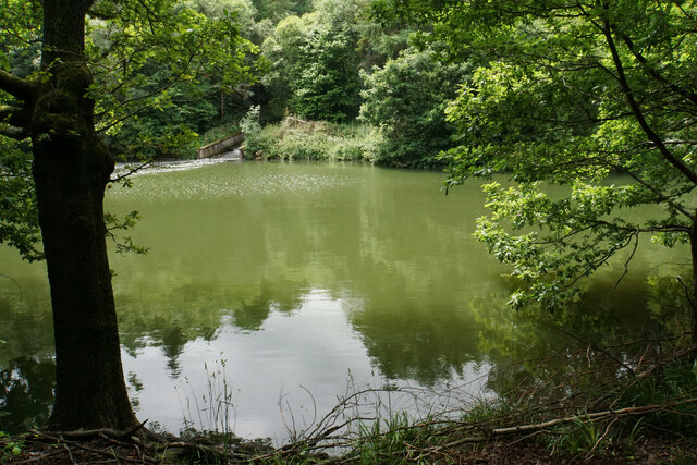
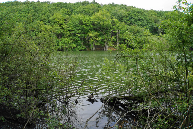
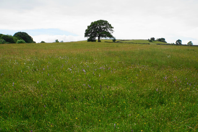
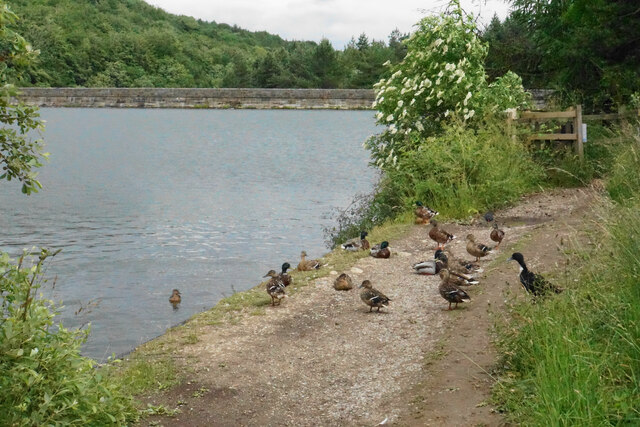
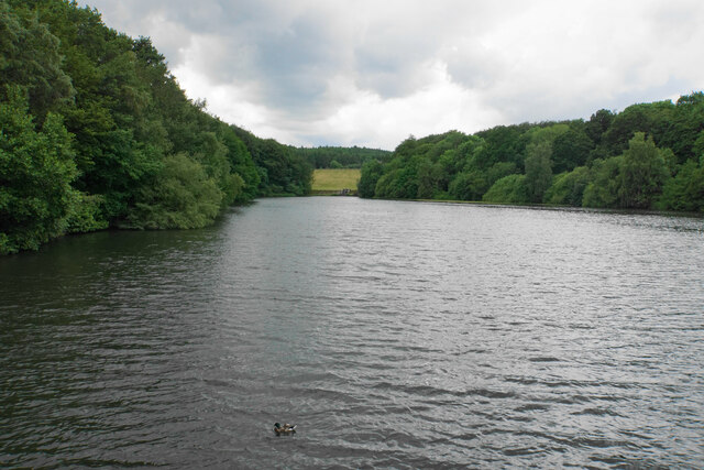
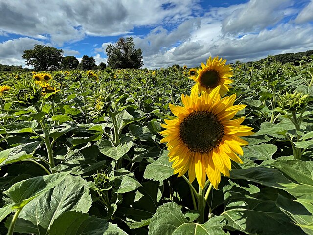
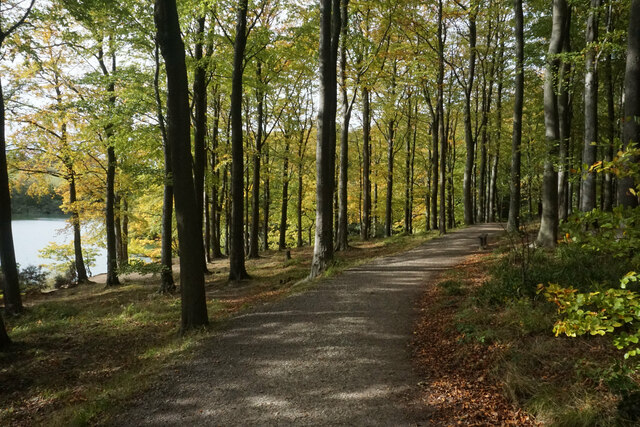
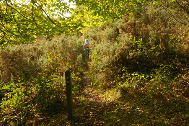
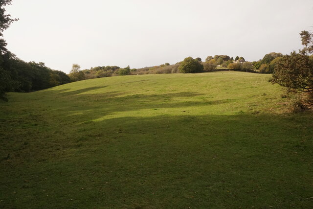
Bolehill is a small village located in the county of Derbyshire, England. Situated just a few miles north of the popular tourist town of Matlock, Bolehill is nestled within the picturesque Peak District National Park. The village is surrounded by rolling hills, lush green countryside, and picturesque landscapes, making it a haven for outdoor enthusiasts and nature lovers.

Bolehill has a rich history that dates back to the 18th century when it was primarily an industrial village centered around lead mining and quarrying. Many of the old lead mines and quarries can still be seen today, adding to the village's unique charm and character.

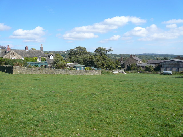
Despite its small size, Bolehill boasts a close-knit community with a friendly and welcoming atmosphere. The village is home to a handful of traditional stone cottages and houses, adding to its quaint and rural appeal. Bolehill also has a village hall, which serves as a hub for local events and gatherings.

For those seeking outdoor adventures, Bolehill offers a range of activities. The nearby Peak District National Park provides ample opportunities for hiking, cycling, and exploring the stunning natural beauty of the area. The village is also within easy reach of attractions such as Chatsworth House, Haddon Hall, and the Heights of Abraham, making it an ideal base for visitors looking to explore the wider region.

In conclusion, Bolehill is a charming village nestled within the scenic landscapes of Derbyshire's Peak District National Park. With its rich history, close-knit community, and proximity to outdoor activities and attractions, Bolehill offers a delightful retreat for those seeking a peaceful and idyllic countryside escape.

If you have any feedback on the listing, please let us know in the comments section below.
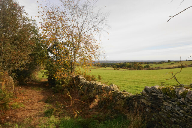
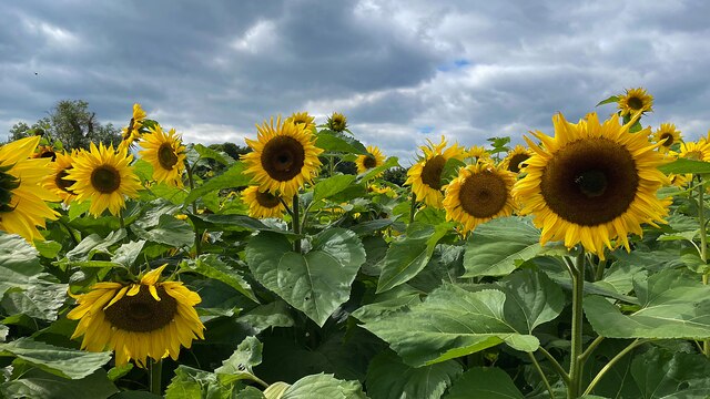
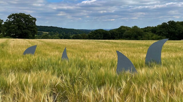
Bolehill Images

Images are sourced within 2km of 53.261979/-1.5067452 or Grid Reference SK3374. Thanks to Geograph Open Source API. All images are credited.

Barley field near the Linacre Reservoirs Chesterfield is seen in the distance.
Barley field near the Linacre Reservoirs
Chesterfield is seen in the distance.
Outflow from Middle Linacre Reservoir
The head of Middle Linacre Reservoir Opposite is the outflow from the Upper Reservoir.
The head of Middle Linacre Reservoir
Opposite is the outflow from the Upper Reservoir.
Upper Linacre Reservoir Much of it is surrounded by ancient woodland.
Upper Linacre Reservoir
Much of it is surrounded by ancient woodland.
Meadow above Upper Linacre Reservoir The meadow has a wide diversity of plants, including marsh orchids.
Meadow above Upper Linacre Reservoir
The meadow has a wide diversity of plants, including marsh orchids.
Ducks gathering by Upper Linacre Reservoir The reservoir dam is seen behind.
Ducks gathering by Upper Linacre Reservoir
The reservoir dam is seen behind.
Lower Linacre Reservoir The smallest of the three reservoirs. The dam of the Middle Reservoir can be seen.
Lower Linacre Reservoir
The smallest of the three reservoirs. The dam of the Middle Reservoir can be seen.
Brampton, Woodnook Lane BM on roadside wall

Sk33427300
Brampton, Woodnook Lane
BM on roadside wall Sk33427300
A field of sunflowers At Barlow Village Sunflowers
A field of sunflowers
At Barlow Village Sunflowers
Giant sunflowers Two of the thousands in a field at Barlow Village Sunflowers
Giant sunflowers
Two of the thousands in a field at Barlow Village Sunflowers
A giant sunflower One of thousands in a field at Barlow Village Sunflowers
A giant sunflower
One of thousands in a field at Barlow Village Sunflowers
Path by Upper Linacre Reservoir Finally showing some autumn colour.
Path by Upper Linacre Reservoir
Finally showing some autumn colour.
Public footpath near Birley Wood The path goes through a patch of head-high gorse.
Public footpath near Birley Wood
The path goes through a patch of head-high gorse.
Field above Birley Brook Looking up towards Birley Farm in the trees on the top of the hill.
Field above Birley Brook
Looking up towards Birley Farm in the trees on the top of the hill.
Path down to Birley Brook The image doesn't convey the gradient, and the mud would be quite treacherous in wetter conditions.
Path down to Birley Brook
The image doesn't convey the gradient, and the mud would be quite treacherous in wetter conditions.
The end of a green lane At the top of Copy Wood which is to the left, and from where I had just emerged.
The end of a green lane
At the top of Copy Wood which is to the left, and from where I had just emerged.
A field full of sunflowers A seasonal visitor attraction at Village Sunflowers
A field full of sunflowers
A seasonal visitor attraction at Village Sunflowers
Strange sight in a field of barley One of the features of the visitor attraction at Village Sunflowers
Strange sight in a field of barley
One of the features of the visitor attraction at Village Sunflowers
Show me another place!

Bolehill is located at Grid Ref: SK3374 (Lat: 53.261979, Lng: -1.5067452)

Administrative County: Derbyshire

District: North East Derbyshire

Police Authority: Derbyshire

What 3 Words

///swooning.machine.prefer. Near Dronfield, Derbyshire

Related Wikis

Nearby Amenities

Located within 500m of 53.261979,-1.5067452
Barrier: stile
Lat/Long: 53.2578416/-1.5082339
Barrier: stile
Stile: squeezer
Lat/Long: 53.2588848/-1.5072117
Barrier: stile
Steps: 2
Stile: stepover
Lat/Long: 53.260722/-1.5048178
Barrier: stile
Steps: 2
Stile: stepover
Lat/Long: 53.2609427/-1.5047835
Barrier: stile
Material: wood
Stile: squeezer
Lat/Long: 53.2621473/-1.5035791
Barrier: stile
Foot: yes
Lat/Long: 53.2632669/-1.5014859
Barrier: stile
Stile: squeezer
Lat/Long: 53.2595538/-1.5057801
Barrier: stile
Material: stone
Steps: 3
Stile: stepover
Lat/Long: 53.2616914/-1.5137113
Barrier: stile
Steps: 2
Stile: wall
Lat/Long: 53.2614355/-1.5133991
Barrier: stile
Lat/Long: 53.2609904/-1.5125206
Barrier: stile
Steps: 2
Stile: stepover
Lat/Long: 53.2609415/-1.5125648
Barrier: stile
Lat/Long: 53.2600077/-1.5127619
Barrier: stile
Material: stone
Steps: 3
Stile: stepover
Lat/Long: 53.2607764/-1.5101746
Barrier: stile
Steps: 1
Stile: stepover
Lat/Long: 53.2598502/-1.5080945
Barrier: stile
Steps: 1
Stile: wall
Lat/Long: 53.2595526/-1.5078633
Barrier: stile
Steps: 1
Stile: stepover
Lat/Long: 53.2582505/-1.5061852
Ford: yes
Lat/Long: 53.2595934/-1.5079015
Barrier: stile
Steps: 0
Stile: stepover
Lat/Long: 53.2579985/-1.5054539
Barrier: stile
Stile: squeezer
Lat/Long: 53.2580061/-1.505478
Barrier: stile
Foot: yes
Material: wood
Stile: stepover
Lat/Long: 53.2613712/-1.5072359
Barrier: entrance
Lat/Long: 53.2632544/-1.5014691
Information: route_marker
Tourism: information
Lat/Long: 53.2619673/-1.5102949
Barrier: stile
Lat/Long: 53.259233/-1.5091248
Barrier: stile
Foot: yes
Stile: wall
Lat/Long: 53.2638223/-1.5061554
Generator Method: photovoltaic
Generator Output Electricity: yes
Generator Source: solar
Generator Type: solar_photovoltaic_panel
Location: roof
Power: generator
Lat/Long: 53.2661639/-1.5041117
The data included in this document is from www.openstreetmap.org. The data is made available under ODbL.

Have you been to Bolehill?

Leave your review of Bolehill below (or comments, questions and feedback).