Bolehill
Settlement in Derbyshire Derbyshire Dales
England
Bolehill
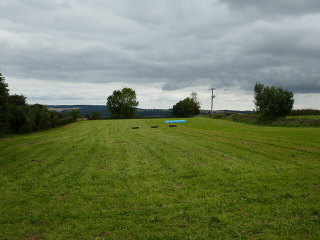
Bolehill is a small village located in the county of Derbyshire, England. Situated just two miles north of the market town of Wirksworth, Bolehill is nestled within the beautiful Derbyshire Dales. The village is surrounded by picturesque countryside, with rolling hills and fields creating a serene and tranquil atmosphere.
Bolehill has a rich history, dating back to the 18th century when it was a thriving lead-mining community. Evidence of its mining past can still be seen today, with old mine workings and spoil heaps scattered throughout the area. The village's mining heritage is celebrated annually with the Bolehill Carnival, a popular event that attracts both locals and visitors alike.
Despite its small size, Bolehill boasts a close-knit community and a range of amenities for its residents. The village has a primary school, a village hall, and a local pub, providing a hub for social activities and gatherings. The surrounding countryside offers ample opportunities for outdoor pursuits, such as hiking, cycling, and horse riding, making it an ideal location for those who enjoy an active lifestyle.
Bolehill's proximity to Wirksworth provides residents with easy access to a wider range of amenities, including shops, cafes, and restaurants. The town also hosts a variety of festivals and events throughout the year, further enhancing the local community spirit.
Overall, Bolehill offers a charming rural retreat, with its idyllic location, rich history, and strong community spirit making it a desirable place to live or visit for those seeking a peaceful countryside escape.
If you have any feedback on the listing, please let us know in the comments section below.
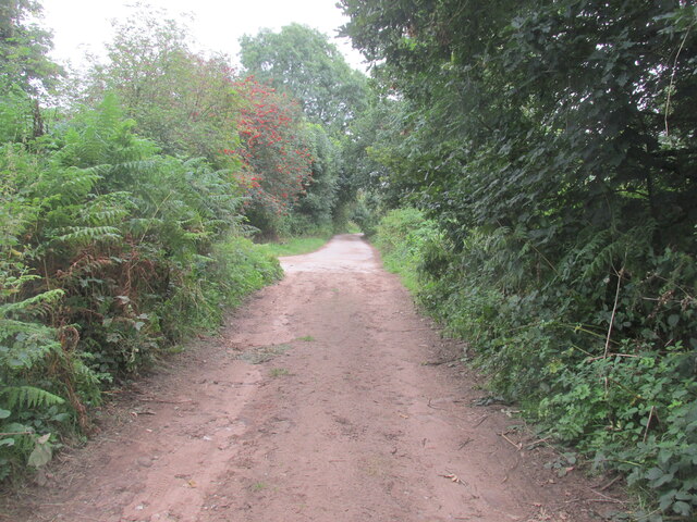
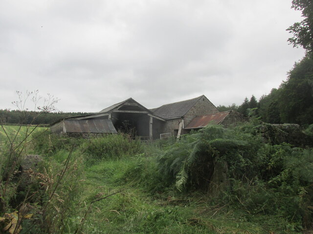
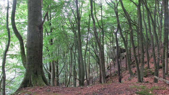
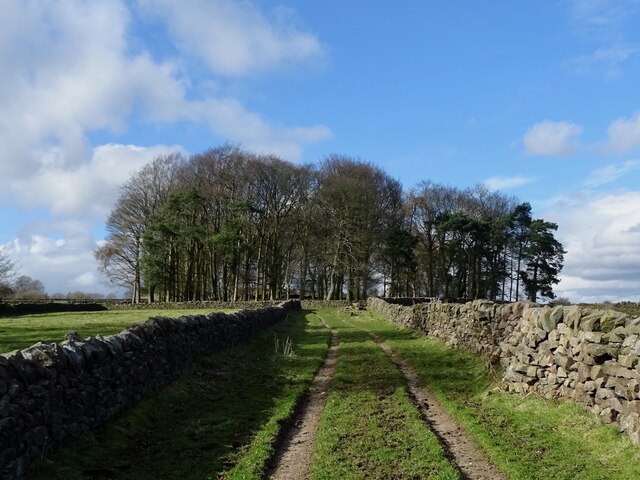
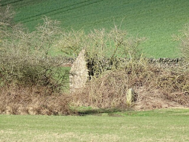
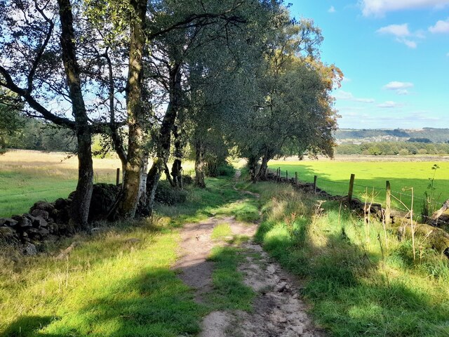
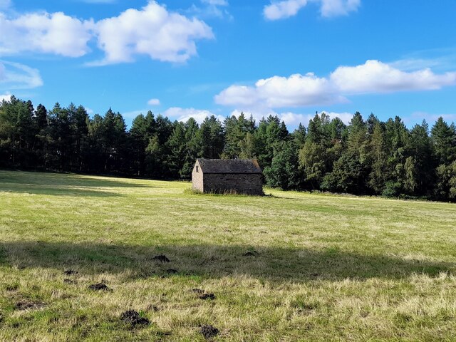
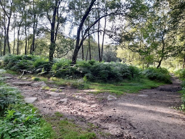
Bolehill Images
Images are sourced within 2km of 53.0914/-1.565438 or Grid Reference SK2955. Thanks to Geograph Open Source API. All images are credited.


Bolehill is located at Grid Ref: SK2955 (Lat: 53.0914, Lng: -1.565438)
Administrative County: Derbyshire
District: Derbyshire Dales
Police Authority: Derbyshire
What 3 Words
///absent.hedge.indulgent. Near Wirksworth, Derbyshire
Nearby Locations
Related Wikis

Bolehill, Derbyshire
Bolehill is an area of Wirksworth, Derbyshire, England. It is located in the north of the town and has connections to the lead mining. Bolehill is adjacent...

Ravenstor railway station
Ravenstor railway station is a Heritage railway station at the northernmost limit of the Ecclesbourne Valley Railway, Wirksworth, Derbyshire. == History... ==
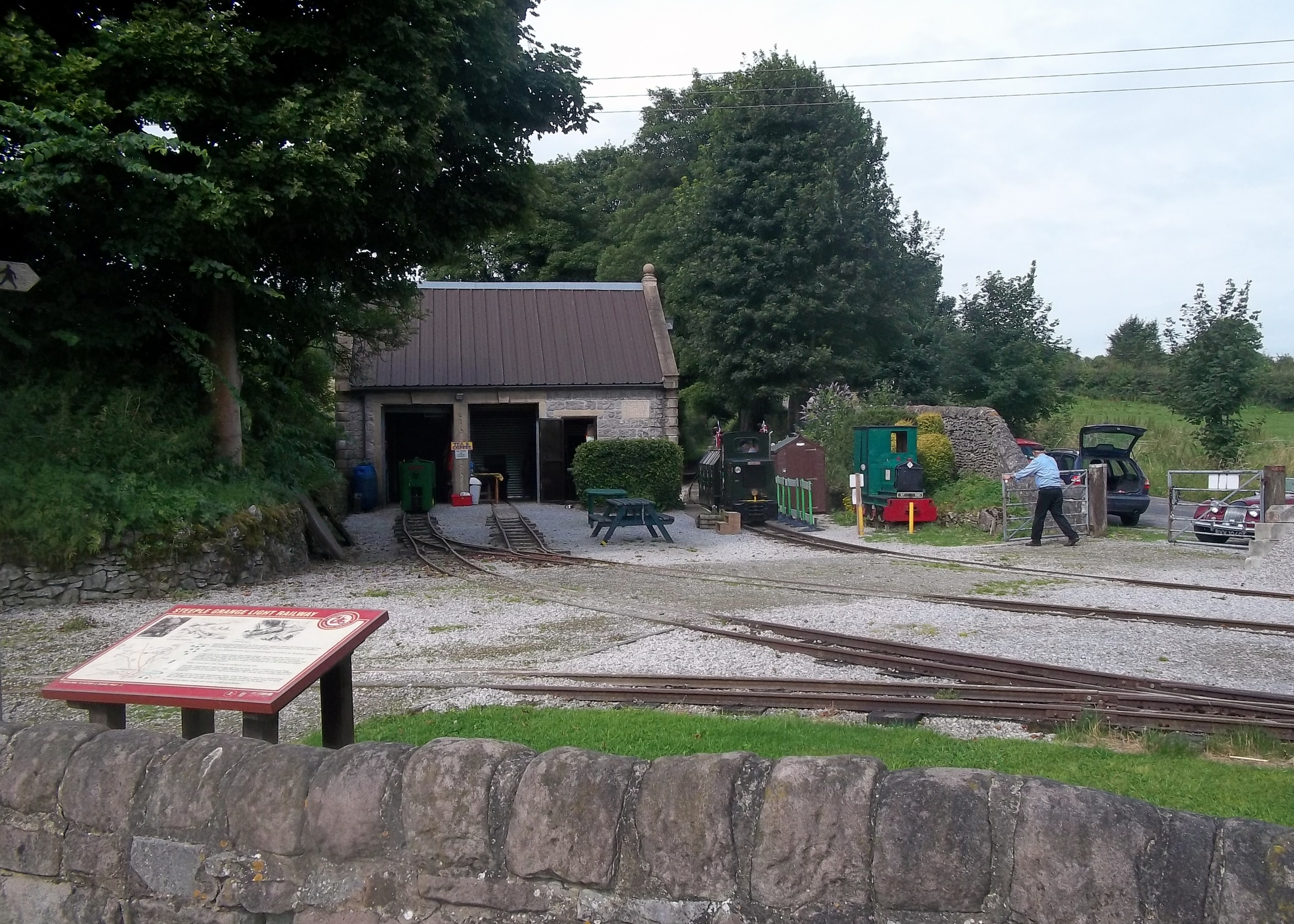
Steeple Grange Light Railway
The Steeple Grange Light Railway is a narrow-gauge heritage railway visitor attraction near Wirksworth in Derbyshire, England. Opened in 1985 on the trackbed...

National Stone Centre
The National Stone Centre is a museum, an industrial heritage discovery centre and a Site of Special Scientific Interest at Wirksworth, near Matlock Bath...
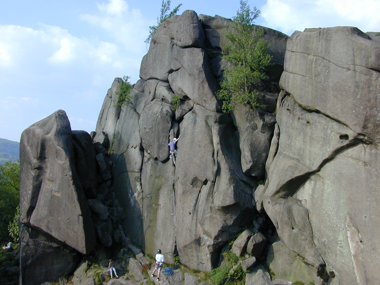
Black Rocks (Derbyshire)
Black Rocks (or Stonnis Rocks), is a small outcrop of ashover gritstone, between Cromford and Wirksworth in Derbyshire, the Peak District, England. It...
Moot Hall, Wirksworth
The Moot Hall is a judicial building in Chapel Lane in Wirksworth, Derbyshire, England. The building, which is used as the meeting place of the barmote...

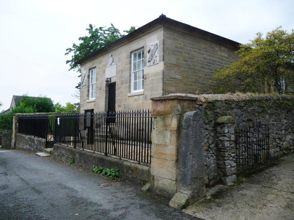
Wirksworth railway station
Wirksworth Railway Station is a heritage railway station that serves the town of Wirksworth in Derbyshire. It was the former terminus of the Midland Railway...
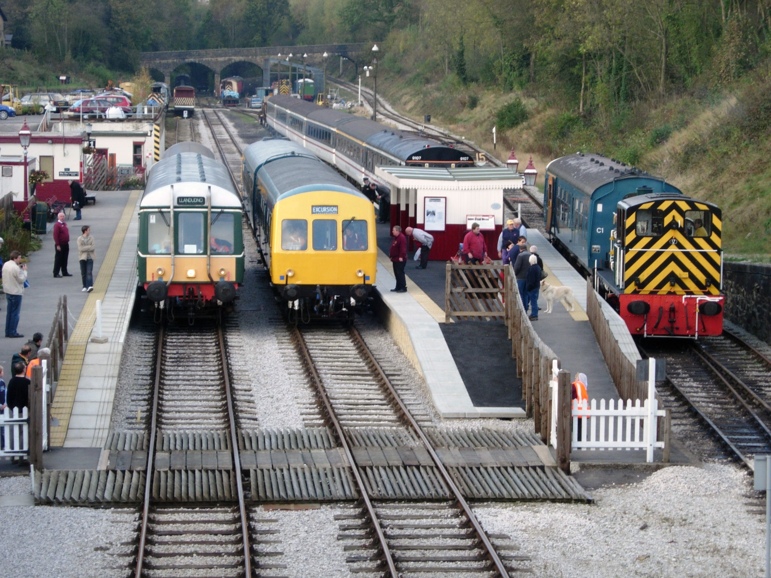
Ecclesbourne Valley Railway
The Ecclesbourne Valley Railway is a 9-mile (14.5 km) long heritage railway in Derbyshire. The headquarters of the railway centre on Wirksworth station...
Nearby Amenities
Located within 500m of 53.0914,-1.565438Have you been to Bolehill?
Leave your review of Bolehill below (or comments, questions and feedback).