Bolehill
Hill, Mountain in Derbyshire Derbyshire Dales
England
Bolehill
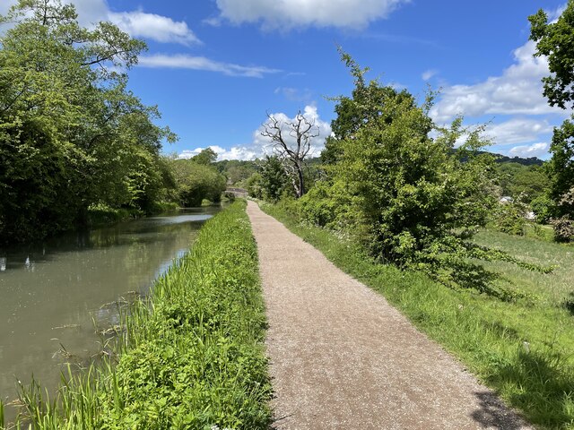
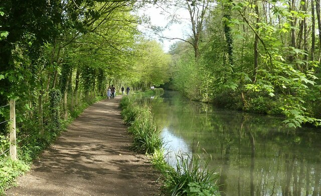
Bolehill is a village located in the Derbyshire Dales district of Derbyshire, England. Situated approximately 3 miles north of Wirksworth, the village is nestled on a hillside in the beautiful Peak District National Park. Bolehill is known for its picturesque setting and stunning views of the surrounding countryside.
The village is home to a small community, with a population of around 200 residents. It is primarily a residential area, with a mix of traditional stone-built cottages and more modern houses. The village maintains its rural charm, with a peaceful atmosphere and a strong sense of community.
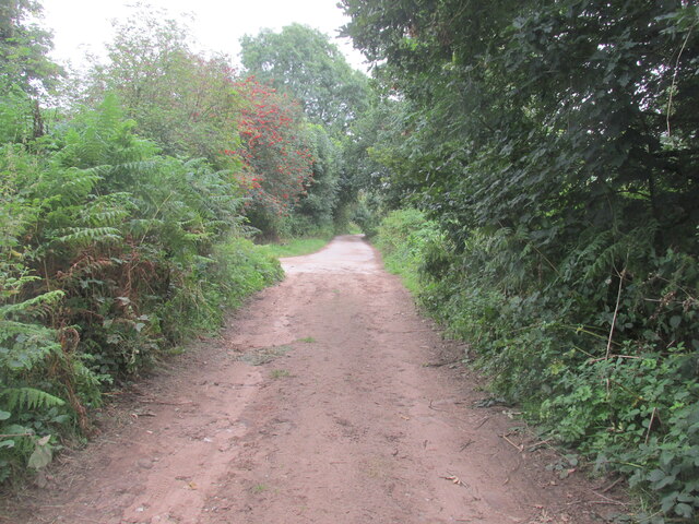
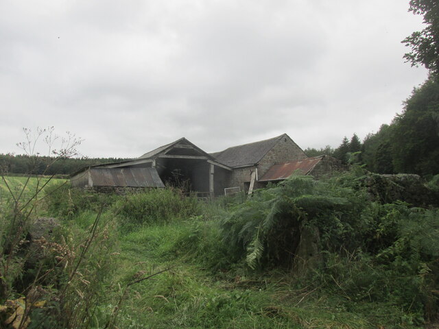
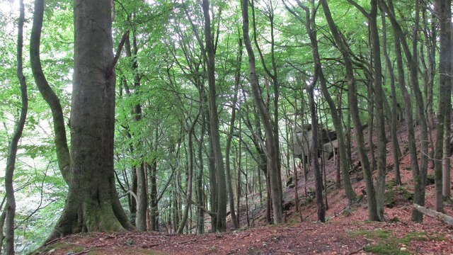
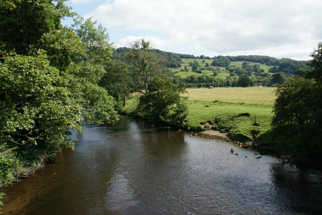
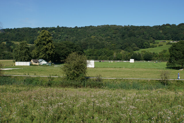
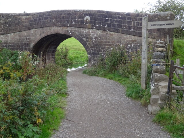
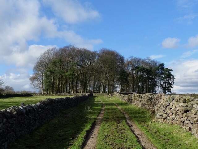
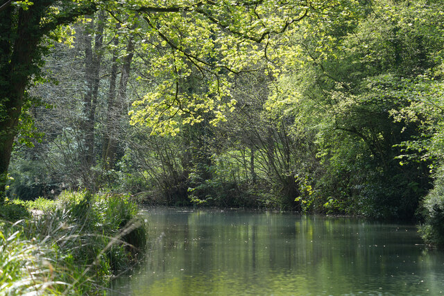
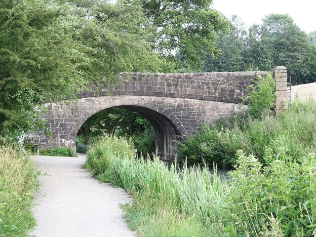
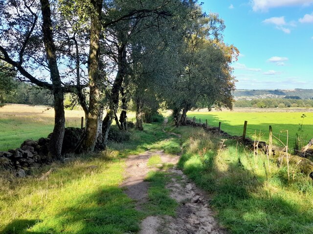
Bolehill is surrounded by rolling hills and lush green fields, making it an ideal location for outdoor enthusiasts. The area is popular for walking, hiking, and cycling, with numerous scenic trails and footpaths to explore. The nearby Black Rocks, a gritstone outcrop, offers panoramic views of the countryside and is a popular spot for climbers.
In terms of amenities, Bolehill has limited facilities. However, the neighboring town of Wirksworth provides a range of shops, cafes, and pubs, as well as primary and secondary schools. The village is well-connected by road, with easy access to the A6 and A38, and regular bus services to nearby towns.
Overall, Bolehill is a charming village set in the heart of the beautiful Derbyshire countryside. Its idyllic location, friendly community, and abundance of outdoor activities make it a desirable place to live or visit for those seeking a peaceful and scenic retreat.
If you have any feedback on the listing, please let us know in the comments section below.
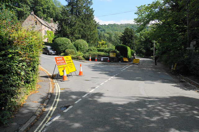
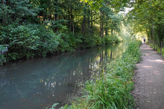
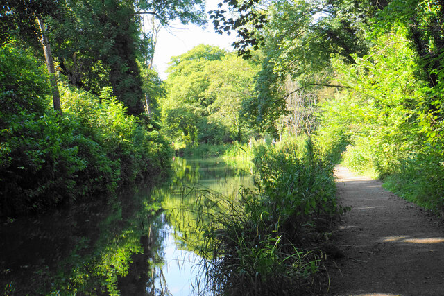
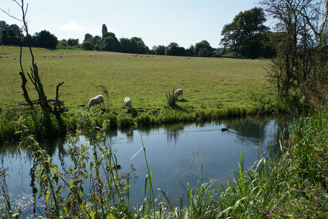
Bolehill Images
Images are sourced within 2km of 53.09458/-1.5626292 or Grid Reference SK2955. Thanks to Geograph Open Source API. All images are credited.

Bolehill is located at Grid Ref: SK2955 (Lat: 53.09458, Lng: -1.5626292)
Administrative County: Derbyshire
District: Derbyshire Dales
Police Authority: Derbyshire
What 3 Words
///corrosive.lighters.replaying. Near Wirksworth, Derbyshire
Nearby Locations
Related Wikis
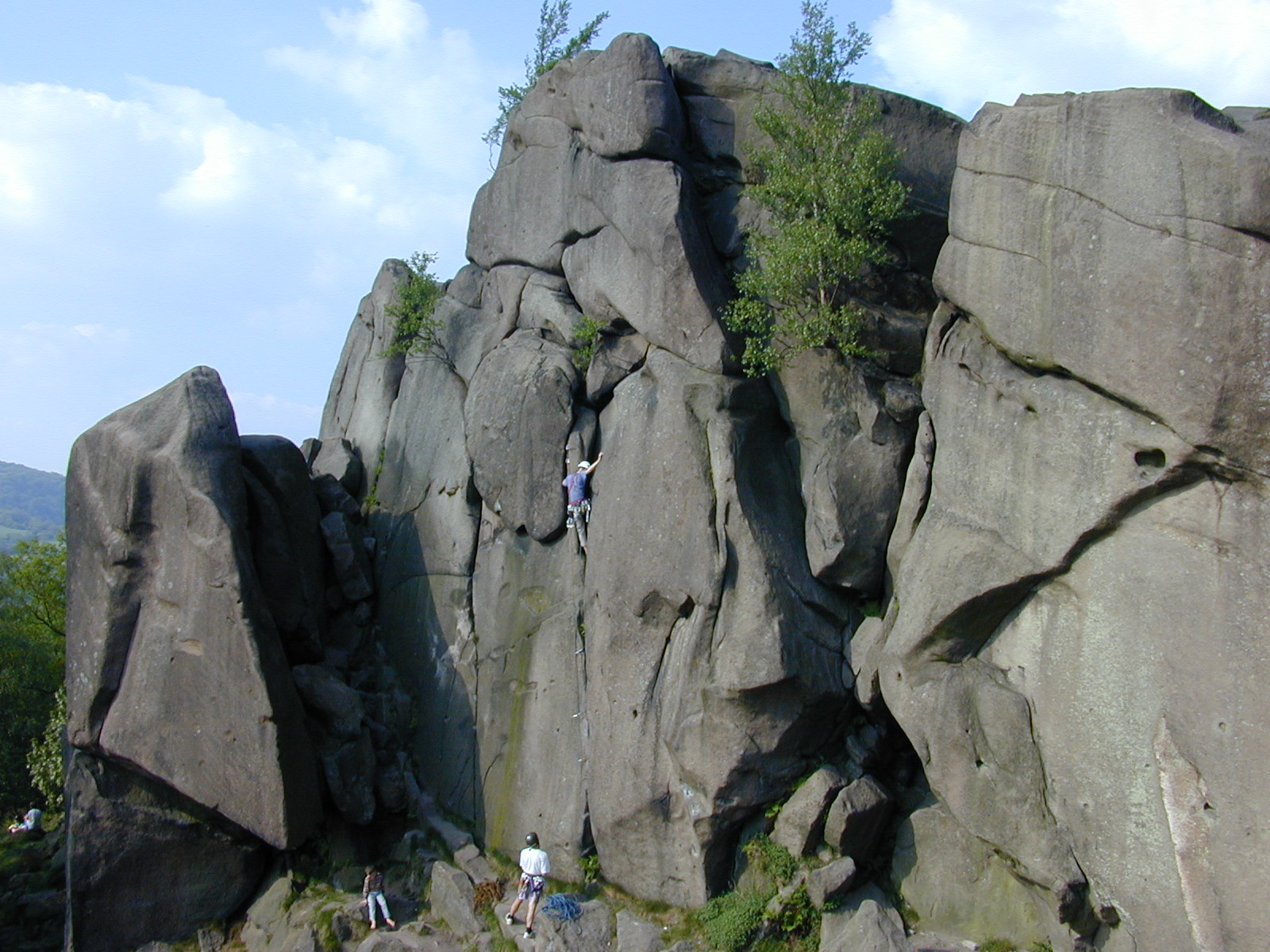
Black Rocks (Derbyshire)
Black Rocks (or Stonnis Rocks), is a small outcrop of ashover gritstone, between Cromford and Wirksworth in Derbyshire, the Peak District, England. It...

Bolehill, Derbyshire
Bolehill is an area of Wirksworth, Derbyshire, England. It is located in the north of the town and has connections to the lead mining. Bolehill is adjacent...
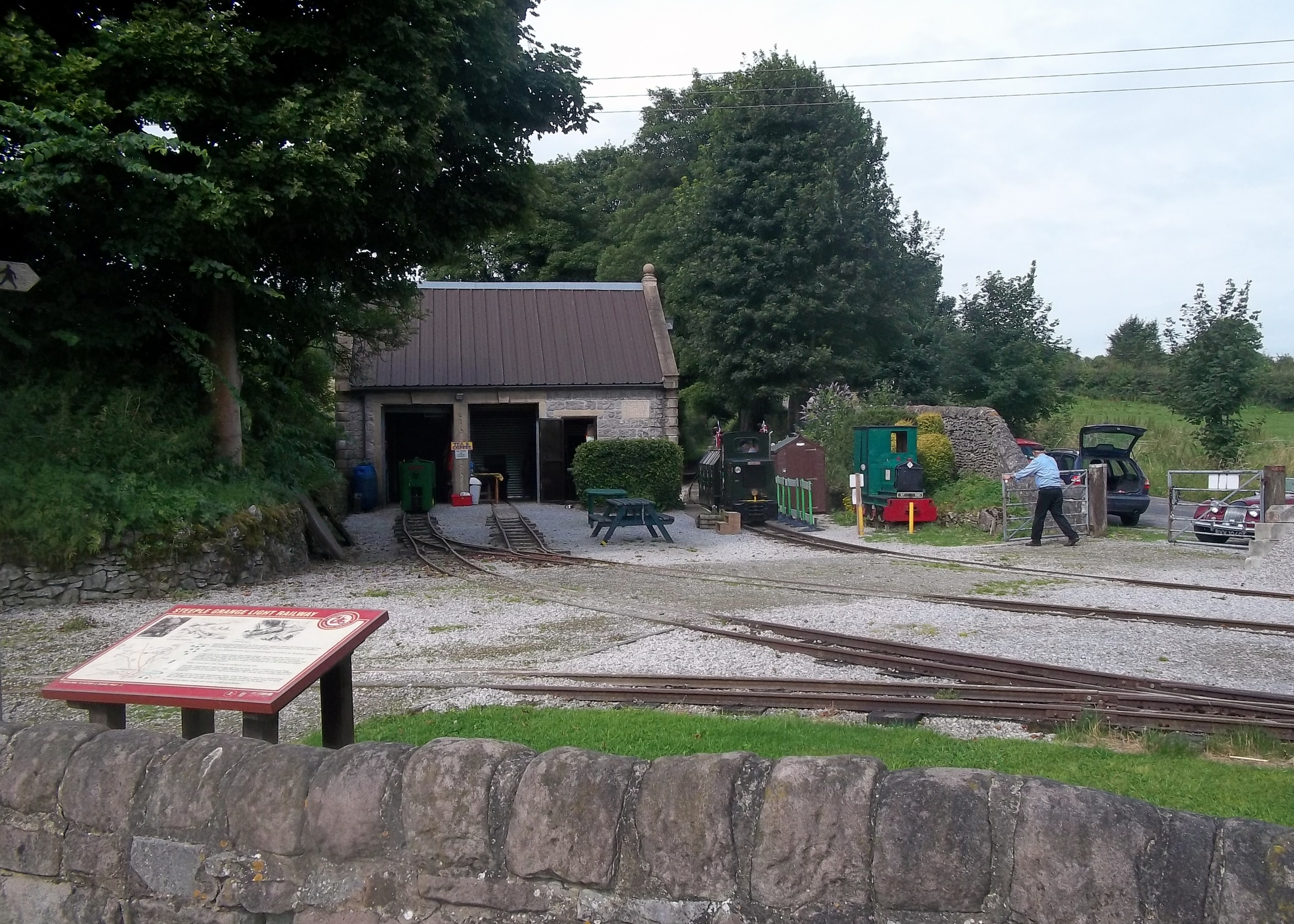
Steeple Grange Light Railway
The Steeple Grange Light Railway is a narrow-gauge heritage railway visitor attraction near Wirksworth in Derbyshire, England. Opened in 1985 on the trackbed...

National Stone Centre
The National Stone Centre is a museum, an industrial heritage discovery centre and a Site of Special Scientific Interest at Wirksworth, near Matlock Bath...

Ravenstor railway station
Ravenstor railway station is a Heritage railway station at the northernmost limit of the Ecclesbourne Valley Railway, Wirksworth, Derbyshire. == History... ==
Moot Hall, Wirksworth
The Moot Hall is a judicial building in Chapel Lane in Wirksworth, Derbyshire, England. The building, which is used as the meeting place of the barmote...

Wirksworth railway station
Wirksworth Railway Station is a heritage railway station that serves the town of Wirksworth in Derbyshire. It was the former terminus of the Midland Railway...
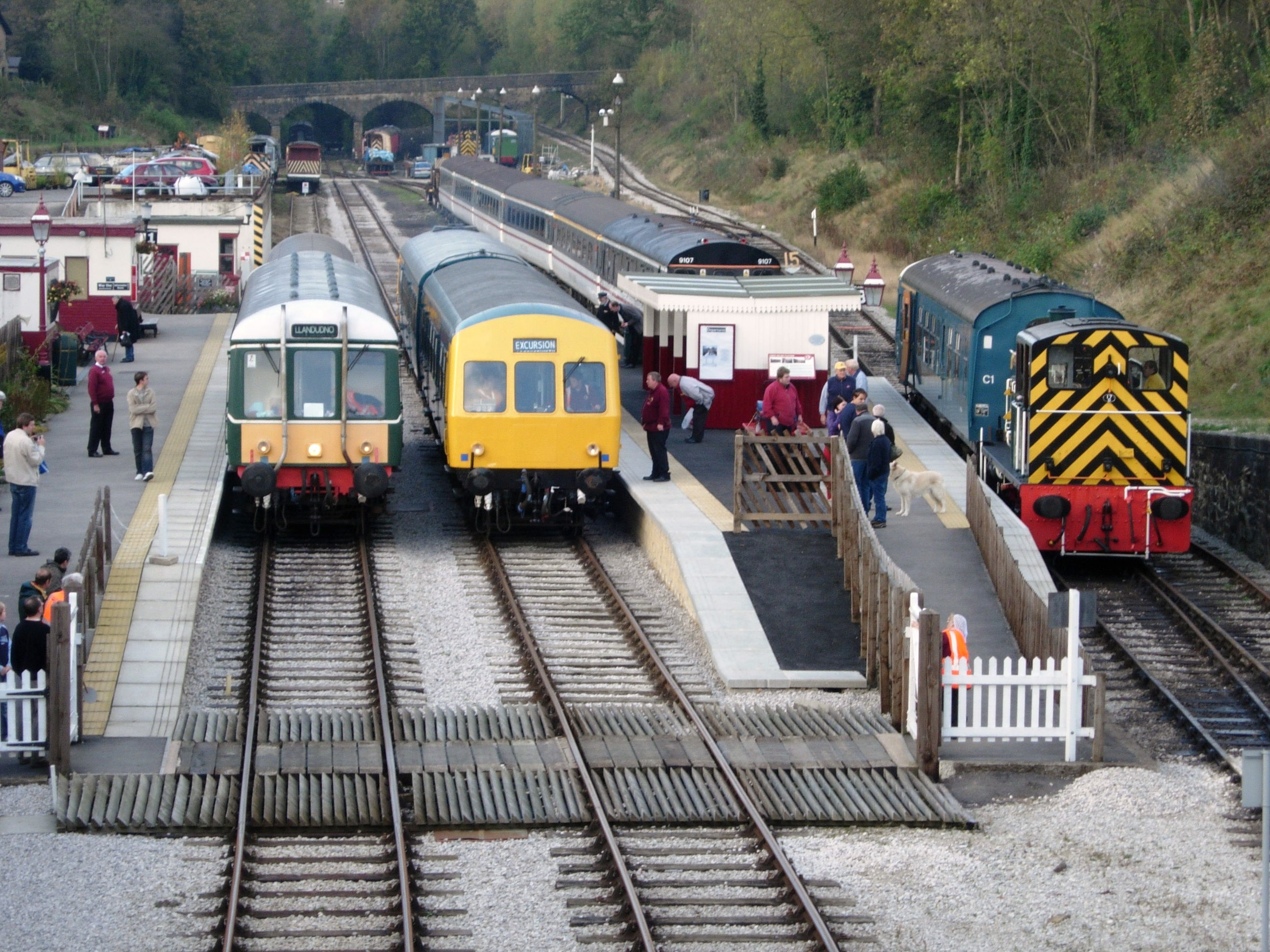
Ecclesbourne Valley Railway
The Ecclesbourne Valley Railway is a 9-mile (14.5 km) long heritage railway in Derbyshire. The headquarters of the railway centre on Wirksworth station...
Nearby Amenities
Located within 500m of 53.09458,-1.5626292Have you been to Bolehill?
Leave your review of Bolehill below (or comments, questions and feedback).