Big Plantation
Wood, Forest in Derbyshire Derbyshire Dales
England
Big Plantation
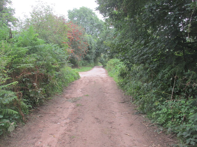
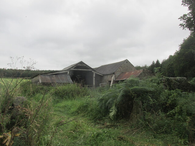
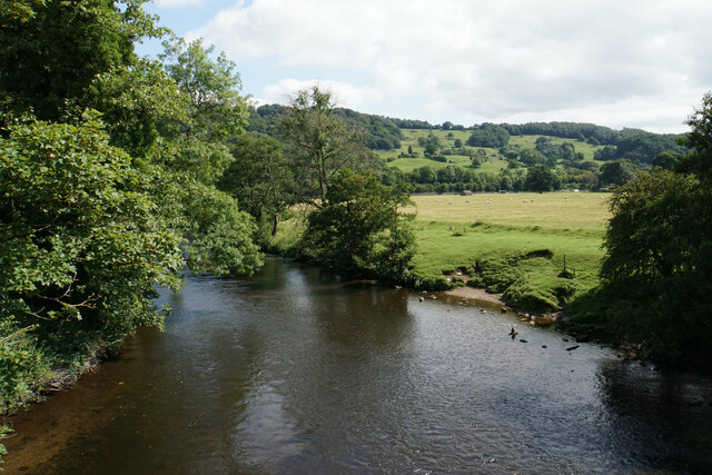
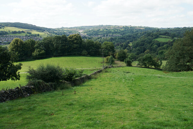
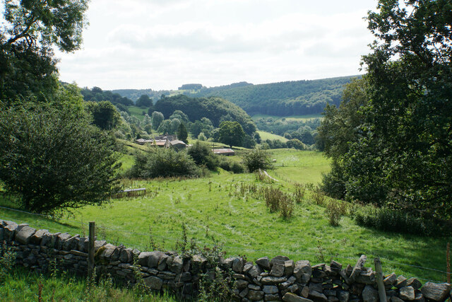
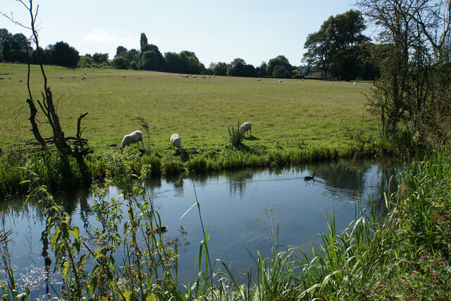
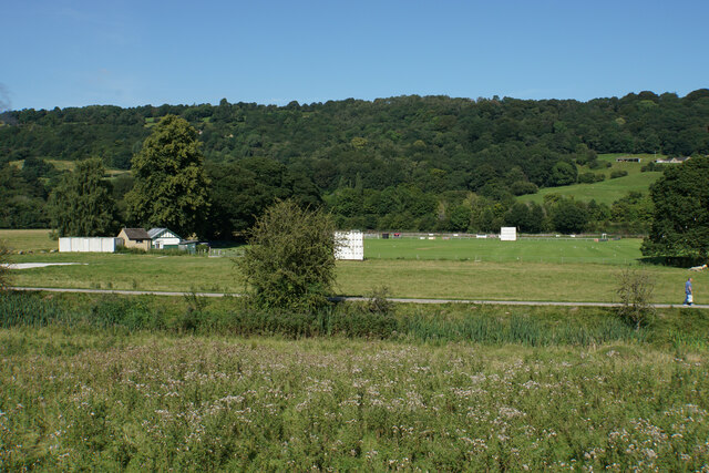
Big Plantation is a vast woodland located in Derbyshire, England. Spanning over a significant area, it is known for its dense forest and diverse range of plant and animal species. The plantation is situated in a picturesque setting, surrounded by rolling hills and scenic landscapes.
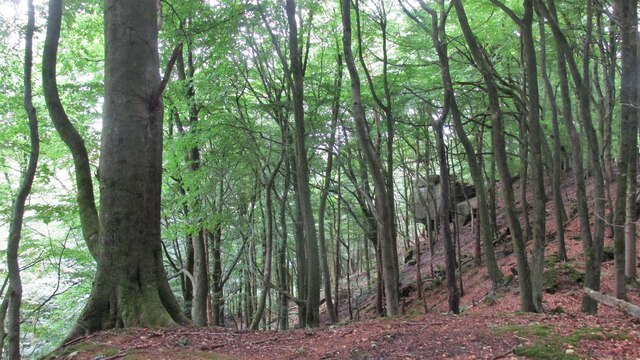
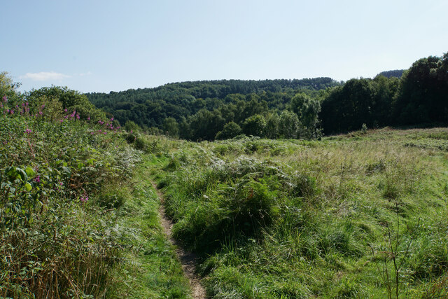
The woodland is primarily composed of several varieties of deciduous and evergreen trees, including oak, beech, birch, and pine. These trees create a rich and vibrant ecosystem, providing habitats for numerous wildlife species. Visitors to Big Plantation can expect to encounter a wide array of animals such as deer, foxes, badgers, and various bird species.
The plantation offers several trails and paths, making it a popular destination for nature enthusiasts and hikers. These well-maintained routes allow visitors to explore the woodland at their own pace, immersing themselves in the tranquility and beauty of the surroundings. The diverse flora and fauna provide ample opportunities for photography, birdwatching, and nature observation.
Big Plantation also serves as an important ecological site, contributing to the region's biodiversity and acting as a natural carbon sink. It plays a crucial role in maintaining the local ecosystem balance and mitigating climate change effects.
Additionally, the plantation offers educational programs and guided tours for schools and interested groups, providing an opportunity to learn about the importance of forests, conservation, and sustainable practices.
Overall, Big Plantation in Derbyshire is a captivating natural haven that offers a unique and immersive experience for visitors, showcasing the beauty and significance of woodlands in the region.
If you have any feedback on the listing, please let us know in the comments section below.
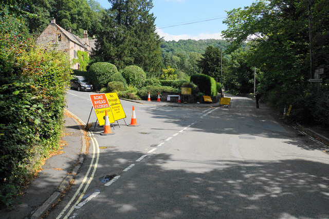
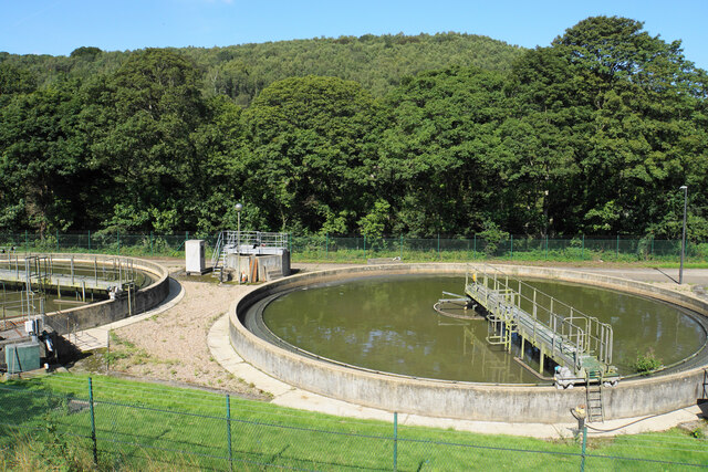
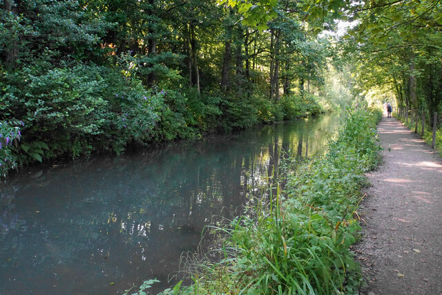
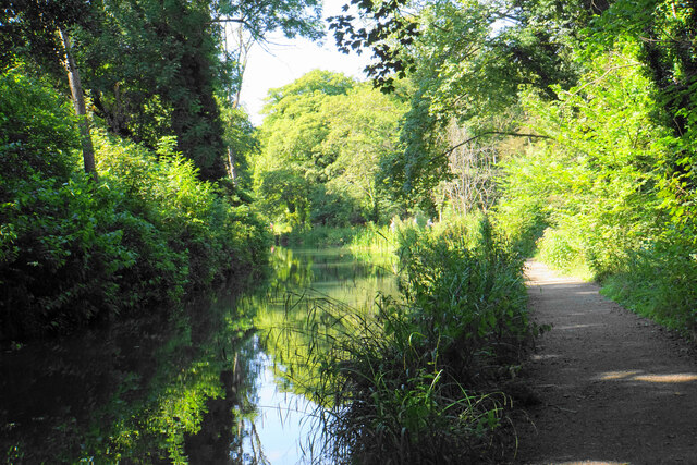
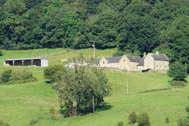
Big Plantation Images
Images are sourced within 2km of 53.097069/-1.5549577 or Grid Reference SK2955. Thanks to Geograph Open Source API. All images are credited.


Big Plantation is located at Grid Ref: SK2955 (Lat: 53.097069, Lng: -1.5549577)
Administrative County: Derbyshire
District: Derbyshire Dales
Police Authority: Derbyshire
What 3 Words
///freely.pushing.gladiators. Near Cromford, Derbyshire
Nearby Locations
Related Wikis
Black Rocks (Derbyshire)
Black Rocks (or Stonnis Rocks), is a small outcrop of ashover gritstone, between Cromford and Wirksworth in Derbyshire, the Peak District, England. It...

Bolehill, Derbyshire
Bolehill is an area of Wirksworth, Derbyshire, England. It is located in the north of the town and has connections to the lead mining. Bolehill is adjacent...
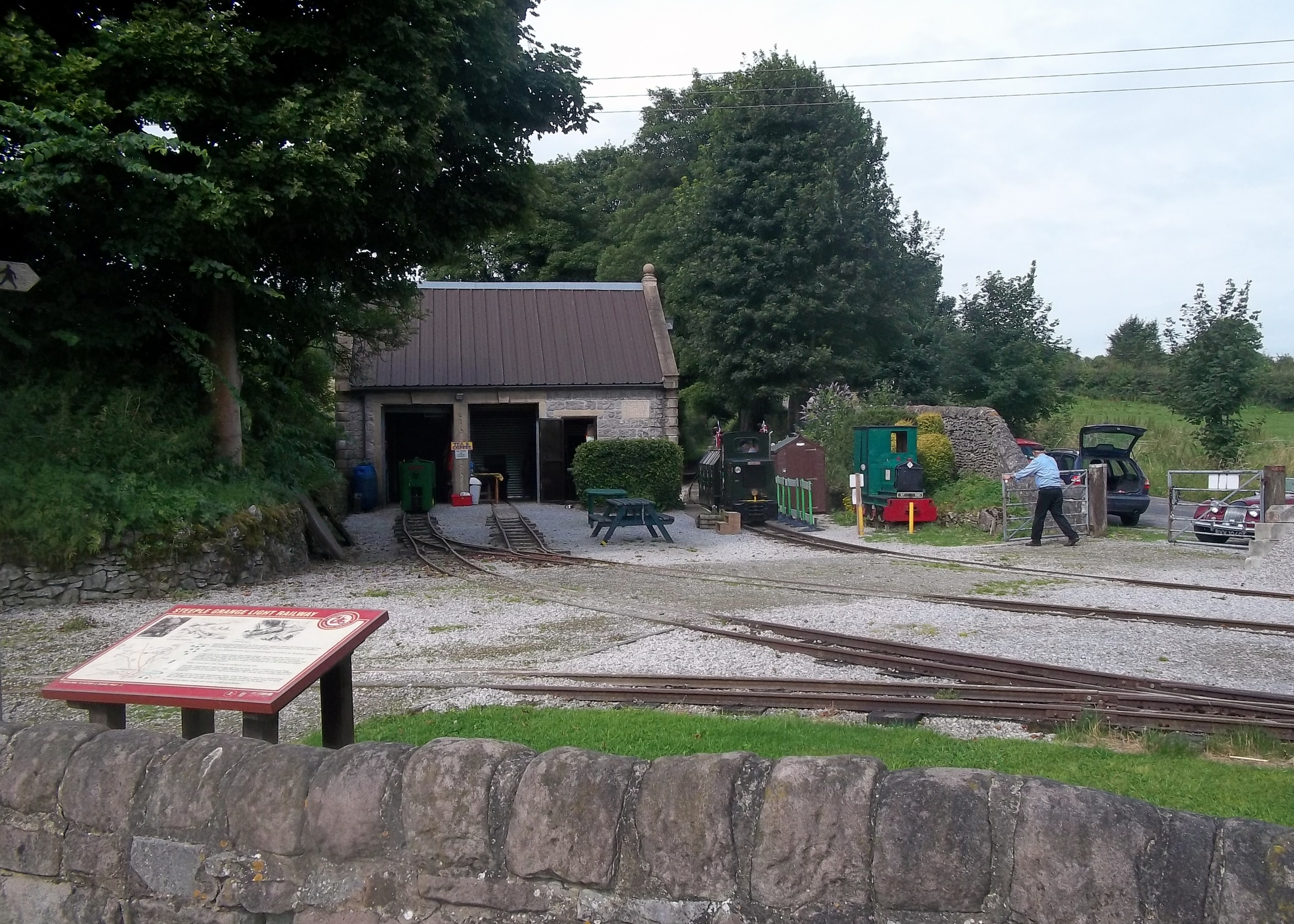
Steeple Grange Light Railway
The Steeple Grange Light Railway is a narrow-gauge heritage railway visitor attraction near Wirksworth in Derbyshire, England. Opened in 1985 on the trackbed...
Cromford
Cromford () is a village and civil parish in Derbyshire, England, in the valley of the River Derwent between Wirksworth and Matlock. It is 17 miles (27...

National Stone Centre
The National Stone Centre is a museum, an industrial heritage discovery centre and a Site of Special Scientific Interest at Wirksworth, near Matlock Bath...

Cromford Wharf
Cromford Wharf is at Cromford in Derbyshire, England. It is located at the northern terminus of the Cromford Canal, which opened in 1794 and ran 14.5 miles...
Cromford Mill
Cromford Mill is the world's first water-powered cotton spinning mill, developed by Richard Arkwright in 1771 in Cromford, Derbyshire, England. The mill...

Cromford War Memorial
Cromford War Memorial is a 20th-century grade II listed war memorial in Cromford, Derbyshire. == Description == The war memorial stands in a Garden of...
Nearby Amenities
Located within 500m of 53.097069,-1.5549577Have you been to Big Plantation?
Leave your review of Big Plantation below (or comments, questions and feedback).