Bolehall
Settlement in Warwickshire Tamworth
England
Bolehall
Bolehall is a small suburb located in the county of Warwickshire, England. Situated on the outskirts of the town of Tamworth, it is approximately 2 miles northeast of the town center. Bolehall is predominantly a residential area, offering a peaceful and family-friendly environment.
The suburb is known for its diverse range of housing options, including detached houses, semi-detached homes, and apartments. The architectural styles vary, ranging from traditional Tudor-style buildings to modern designs. The area is well-maintained, with neatly manicured gardens and tree-lined streets adding to its aesthetic appeal.
Bolehall benefits from its close proximity to various amenities and facilities. Residents have easy access to local shops, supermarkets, and convenience stores for their everyday needs. In addition, there are several schools and educational institutions in the vicinity, providing quality education for children of all ages.
For recreational activities, the nearby Tamworth Castle and grounds offer an opportunity for leisurely walks and picnics. Bolehall also benefits from its proximity to the River Anker, providing opportunities for fishing and boating enthusiasts.
Transportation links in Bolehall are excellent, with regular bus services connecting the suburb to Tamworth town center and surrounding areas. The nearby A5 road provides easy access to the wider region, while the Tamworth railway station offers direct train services to Birmingham and London.
Overall, Bolehall is a charming and well-connected suburb, offering a high quality of life for its residents.
If you have any feedback on the listing, please let us know in the comments section below.
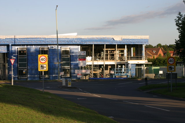
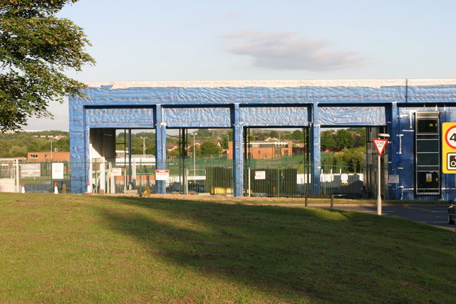
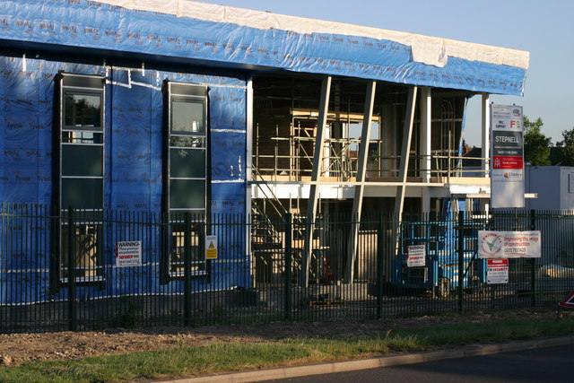
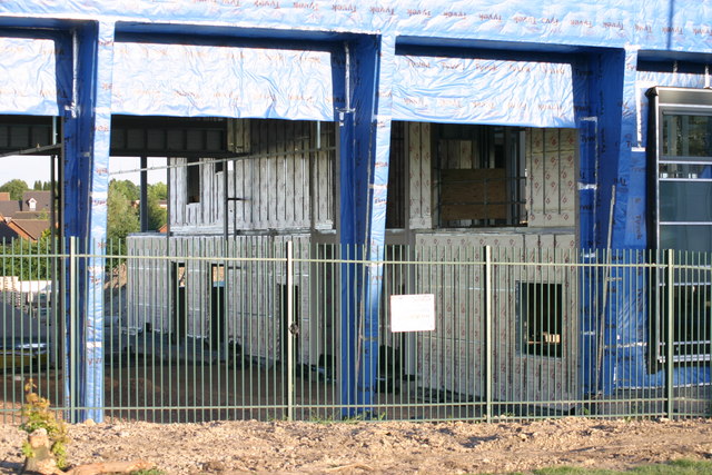
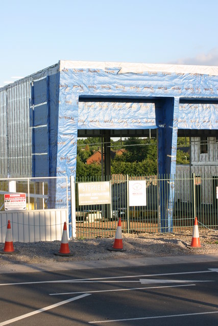
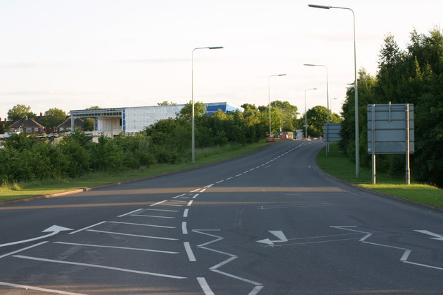
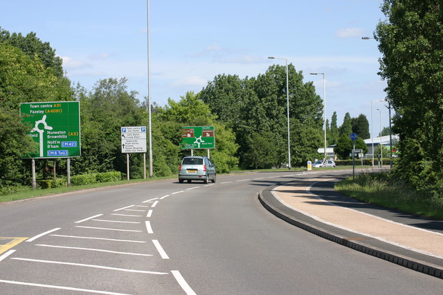
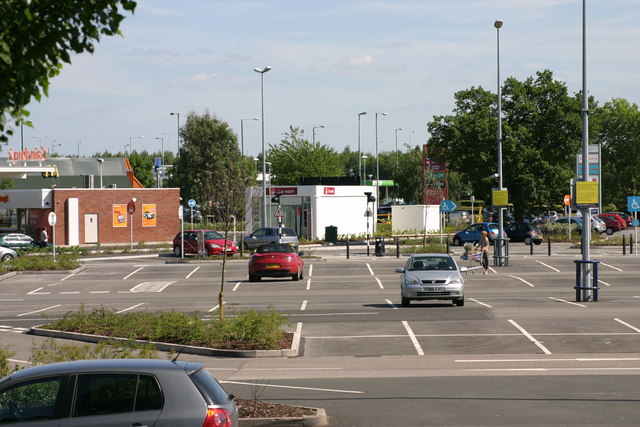
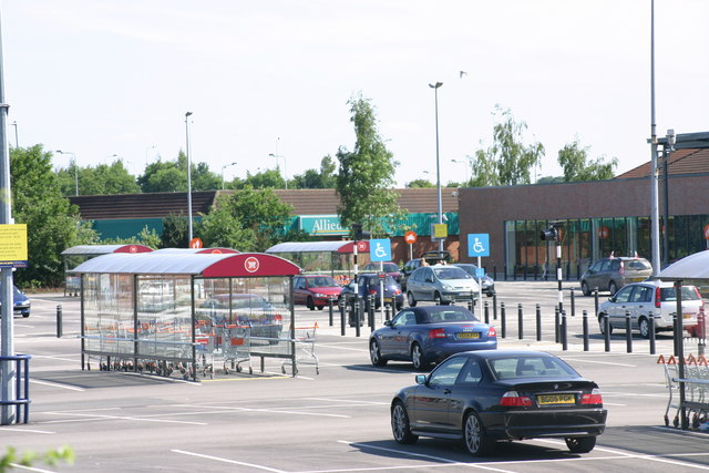
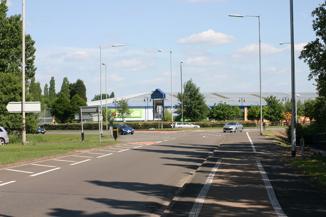
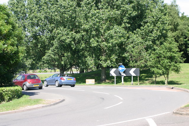
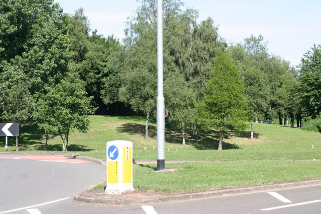
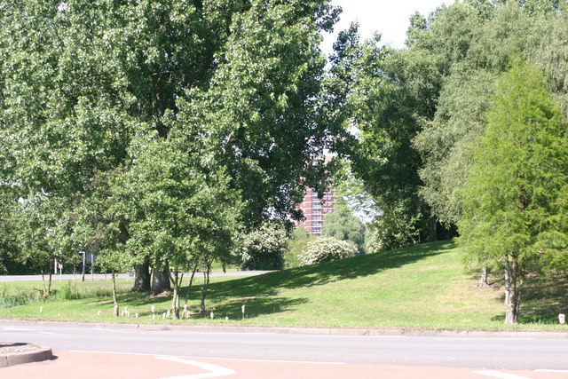
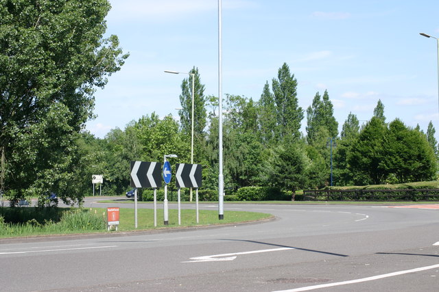
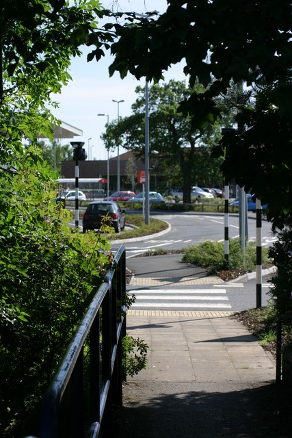
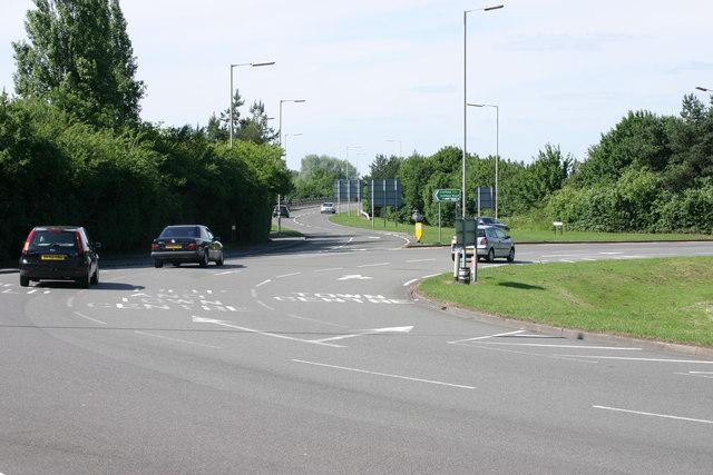
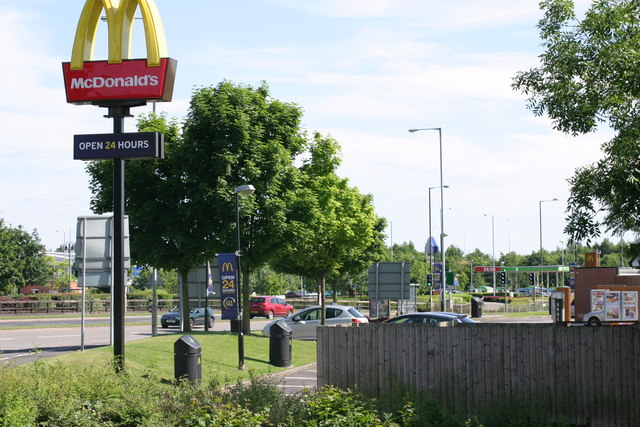
Bolehall Images
Images are sourced within 2km of 52.632749/-1.678154 or Grid Reference SK2103. Thanks to Geograph Open Source API. All images are credited.
Bolehall is located at Grid Ref: SK2103 (Lat: 52.632749, Lng: -1.678154)
Administrative County: Staffordshire
District: Tamworth
Police Authority: Staffordshire
What 3 Words
///blank.topped.agreed. Near Tamworth, Staffordshire
Nearby Locations
Related Wikis

Bolehall Swifts F.C.
Bolehall Swifts Football Club is a football club based in Bolehall, a suburb of Tamworth, Staffordshire, England. They are currently members of the Midland...
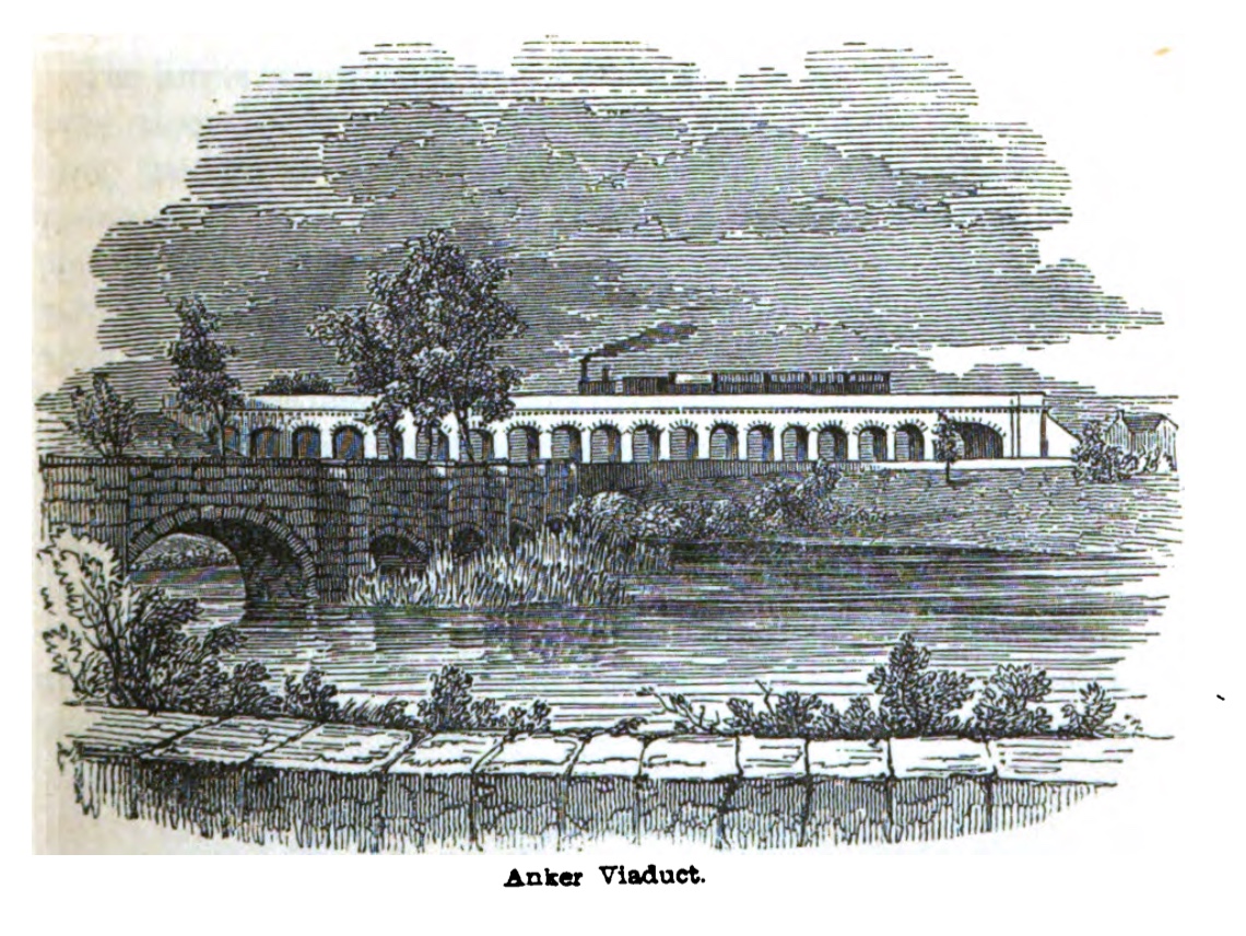
Bolehall Viaduct
Bolehall Viaduct (formerly the Anker Viaduct), known locally as The 19 Arches is a 807 feet (246 m) viaduct on the former Birmingham and Derby Junction...

Tamworth railway station
Tamworth is a split-level railway station which serves the market town of Tamworth in Staffordshire, England. It is an interchange between two main lines...
Tamworth F.C.
Tamworth Football Club is an English association football club based in Tamworth, Staffordshire. The club participates in the National League North. The...
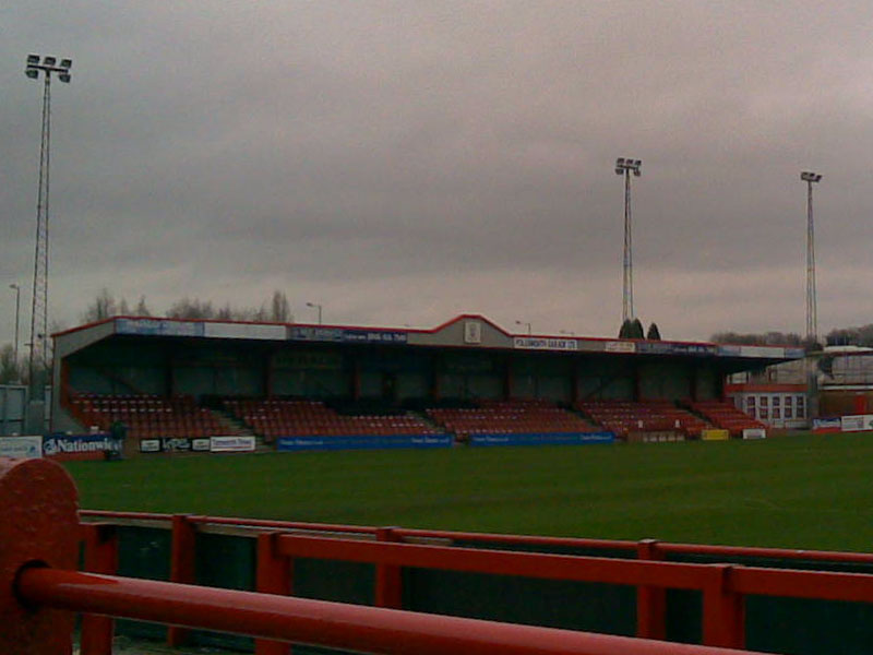
The Lamb Ground
The Lamb Ground is a football stadium in the district of Kettlebrook, in Tamworth, Staffordshire, England and the home of Tamworth F.C. It is approximately...
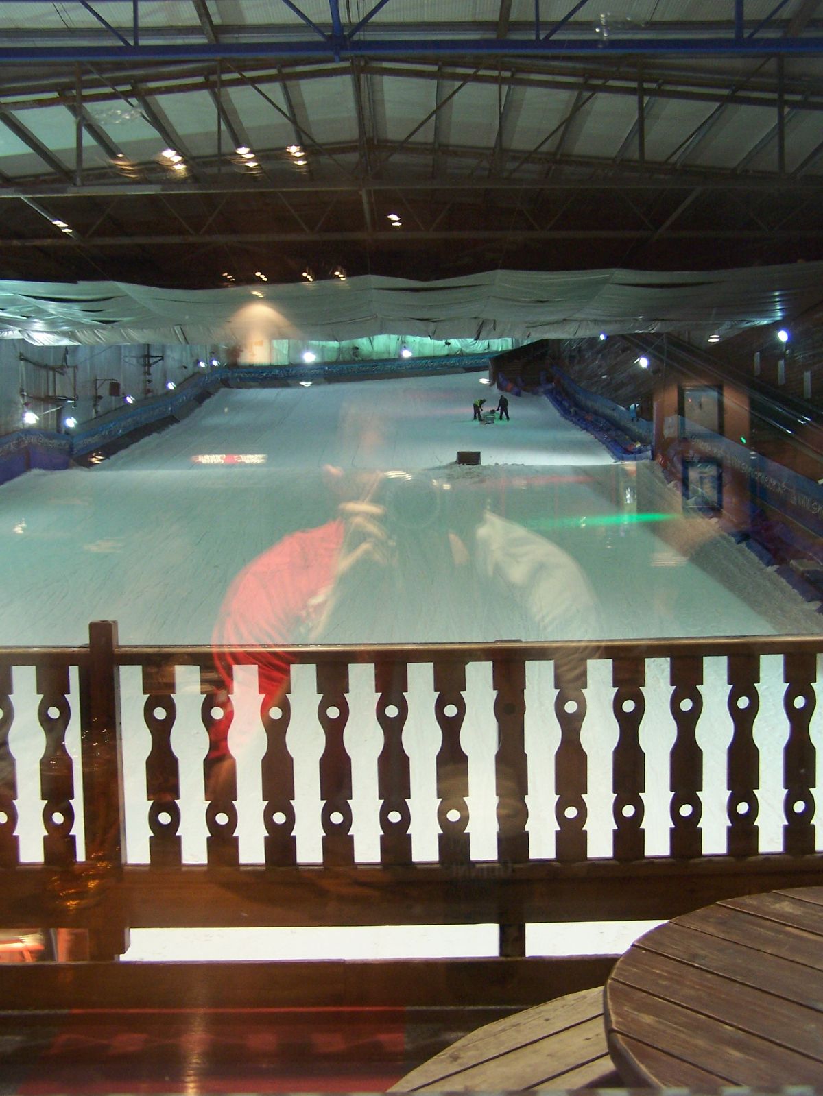
Snowdome
The Snowdome is an indoor ski slope just off the A5 road in Tamworth, Staffordshire, England. It opened in May 1994 and was the first full-sized recreational...

Church of St Editha, Tamworth
The Church of St Editha is a Church of England parish church and Grade I listed building in Tamworth, Staffordshire, England. == History == The church...
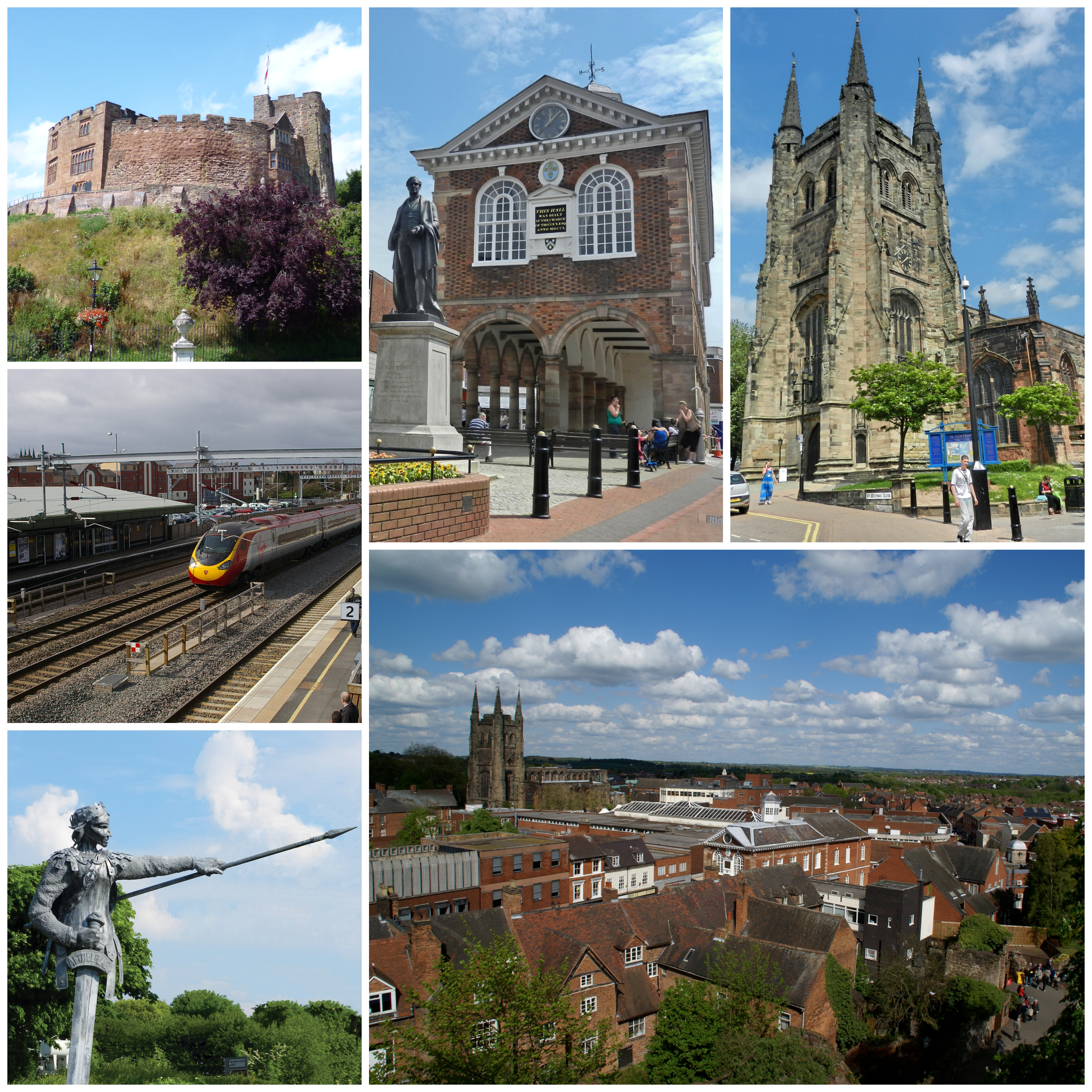
Tamworth, Staffordshire
Tamworth (, ) is a market town and borough in Staffordshire, England, 14 miles (23 km) north-east of Birmingham. The town borders North Warwickshire to...
Related Videos
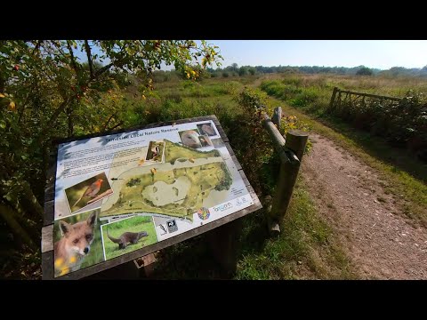
Peaceful Walk through Tameside Nature Reserve, UK Walking Tour, English Countryside in 4K.
Peaceful Walk through Tameside Nature Reserve, UK Walking Tour, English Countryside in 4K. A quiet and peaceful walk ...
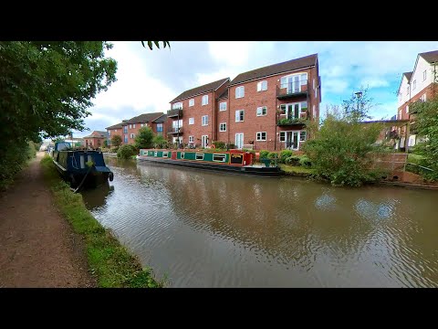
Peaceful Canal Walk to Fazeley Junction. English Countryside 4K. UK Walking Tour.
Peaceful Canal Walk to Fazeley Junction. English Countryside 4K. UK Walking Tour. Walk along the Birmingham & Fazeley Canal ...

What to See in #Tamworth in a Flash Visit | Discover the Capital of Mercia 【4K】
This video provides guidance for a one day visit to Tamworth, Staffordshire, England. We've focused our visit to 3 main touristic ...
Tamworth England - A Relaxing Walk Through Nature in a Town in United Kingdeom TMV
Tamworth Walk. Town in England. Miles across the English Countryside. Beautiful Countryside United Kingdom. Amazing Places ...
Nearby Amenities
Located within 500m of 52.632749,-1.678154Have you been to Bolehall?
Leave your review of Bolehall below (or comments, questions and feedback).