Kettlebrook
Settlement in Warwickshire Tamworth
England
Kettlebrook

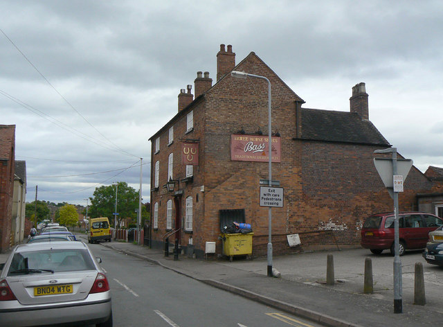
Kettlebrook is a small village located in the county of Warwickshire, England. Situated approximately 2 miles north of Tamworth, the village is surrounded by picturesque countryside and offers a tranquil setting for its residents.
The village is known for its historical significance, with evidence of human habitation dating back to the Roman occupation of Britain. Kettlebrook was a crucial part of the industrial revolution in the 18th and 19th centuries, thanks to its proximity to coal mines and the Coventry Canal. The village became a hub for coal mining and transportation, with the canal serving as a vital trade route for the transportation of goods.
Today, Kettlebrook is a thriving community with a mix of residential and commercial areas. The village has a range of amenities, including a primary school, a church, a pub, and several local shops. The surrounding countryside offers opportunities for outdoor activities such as walking and cycling, making it an attractive location for nature enthusiasts.
Transportation in Kettlebrook is convenient, with easy access to major roads and motorways. The village is well-connected to nearby towns and cities, with regular bus services and a train station located in Tamworth.
Overall, Kettlebrook is a charming village that combines its rich historical heritage with modern amenities, making it an appealing place to live or visit in Warwickshire.
If you have any feedback on the listing, please let us know in the comments section below.
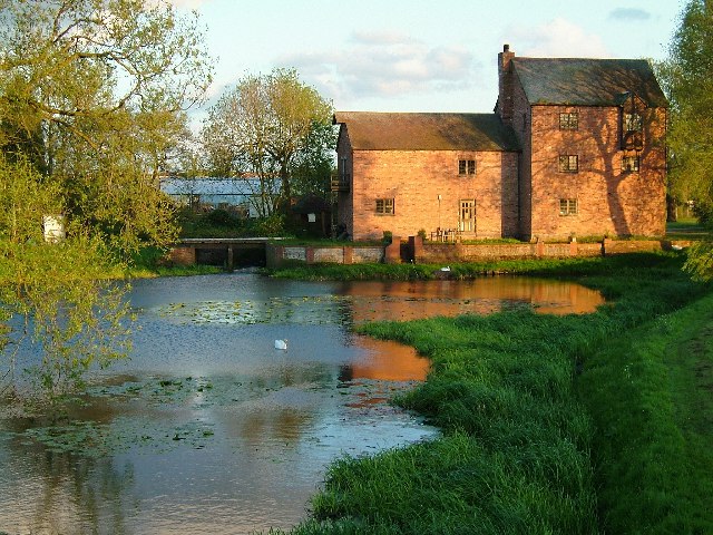
Kettlebrook Images
Images are sourced within 2km of 52.627111/-1.687651 or Grid Reference SK2103. Thanks to Geograph Open Source API. All images are credited.


Kettlebrook is located at Grid Ref: SK2103 (Lat: 52.627111, Lng: -1.687651)
Administrative County: Staffordshire
District: Tamworth
Police Authority: Staffordshire
What 3 Words
///anyway.acted.weeks. Near Tamworth, Staffordshire
Nearby Locations
Related Wikis
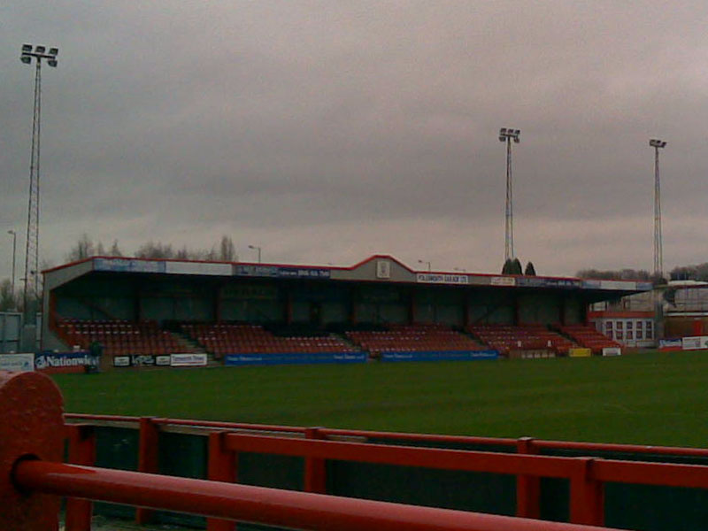
The Lamb Ground
The Lamb Ground is a football stadium in the district of Kettlebrook, in Tamworth, Staffordshire, England and the home of Tamworth F.C. It is approximately...

Tamworth F.C.
Tamworth Football Club is an English association football club based in Tamworth, Staffordshire. The club participates in the National League North. The...
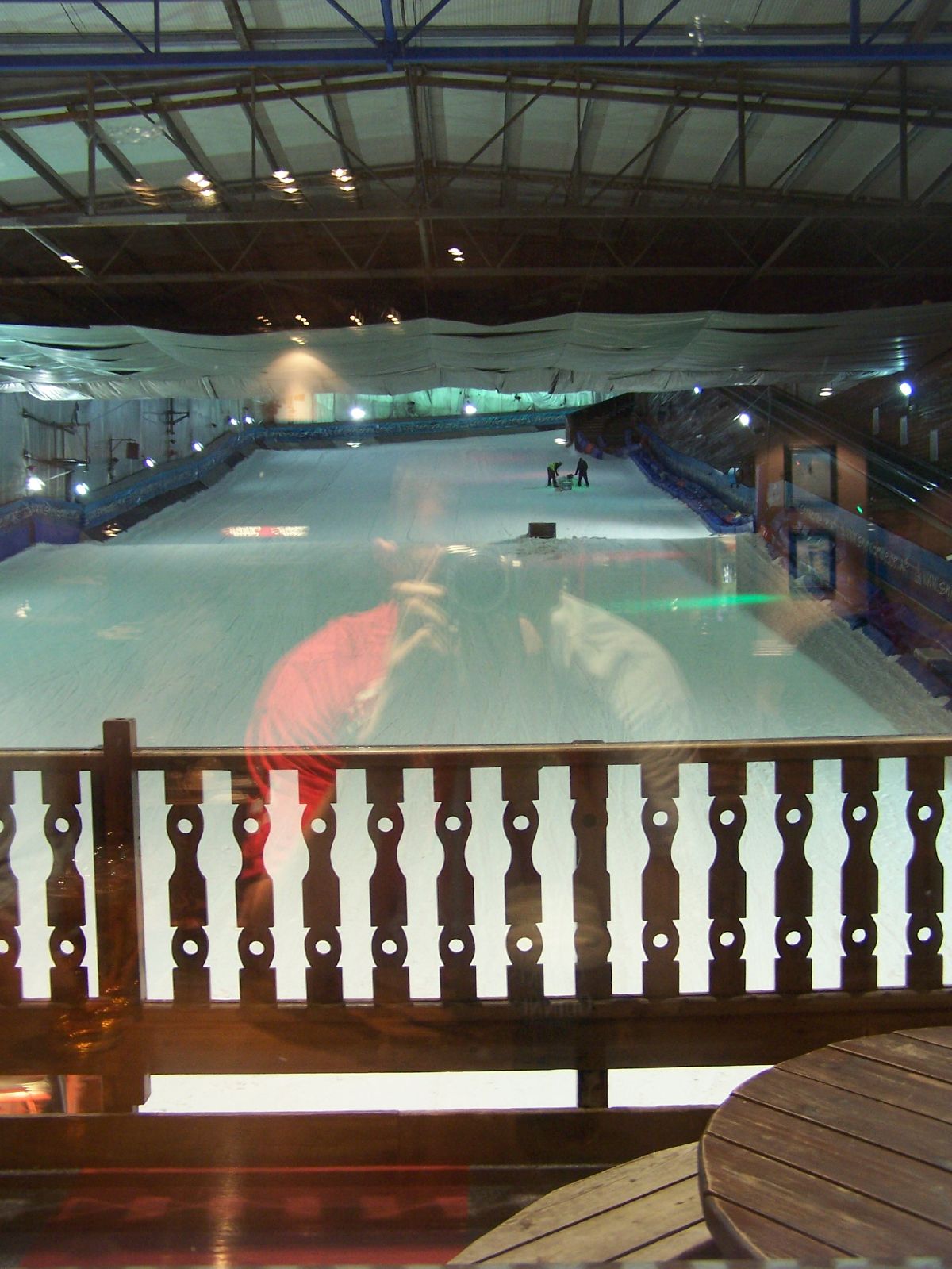
Snowdome
The Snowdome is an indoor ski slope just off the A5 road in Tamworth, Staffordshire, England. It opened in May 1994 and was the first full-sized recreational...
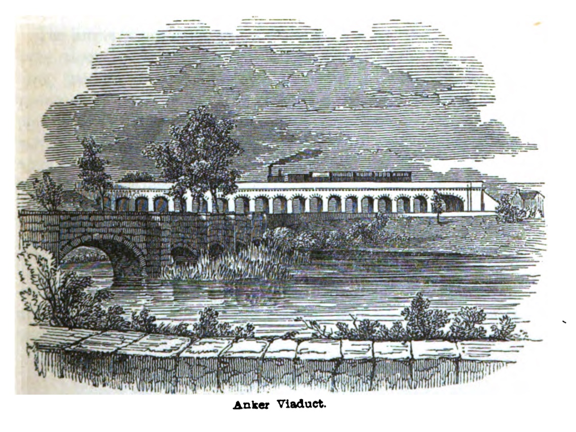
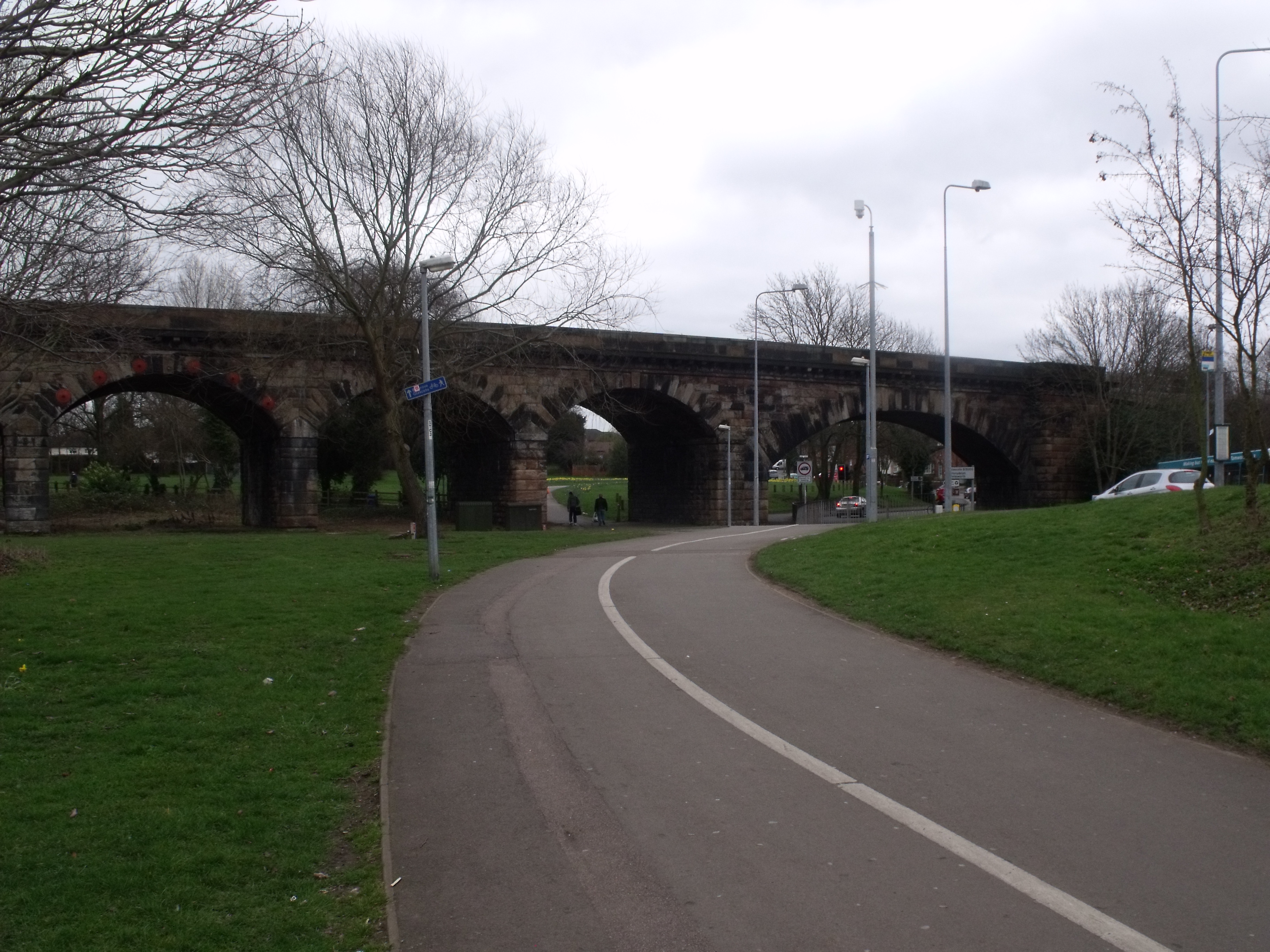
Bolehall Viaduct
Bolehall Viaduct (formerly the Anker Viaduct), known locally as The 19 Arches is a 807 feet (246 m) viaduct on the former Birmingham and Derby Junction...
Bolehall
Bolehall is a village in Staffordshire, England, part of the Tamworth Conurbation. The village sits on the south bank of the River Anker. The parish of...
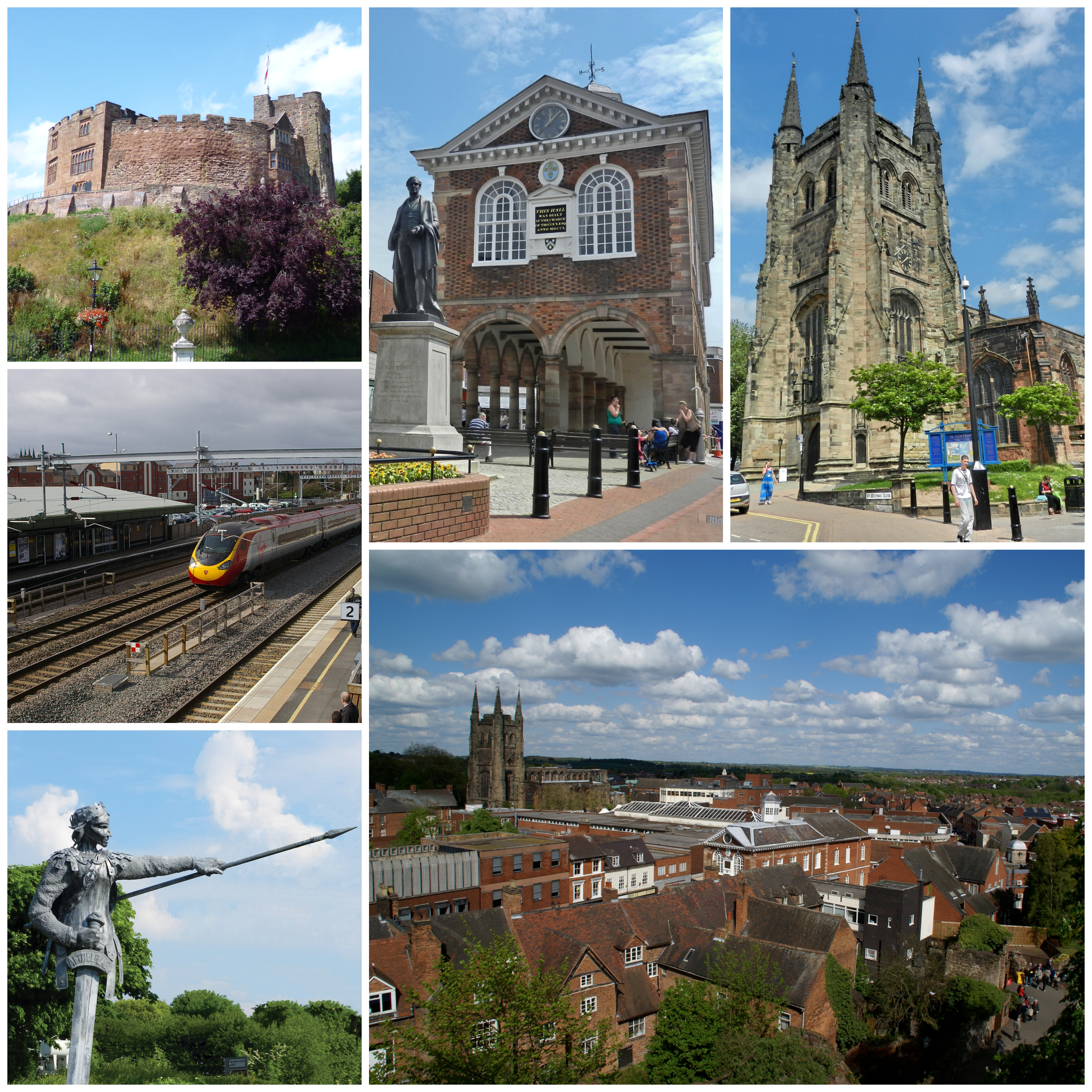
Tamworth, Staffordshire
Tamworth (, ) is a market town and borough in Staffordshire, England, 14 miles (23 km) north-east of Birmingham. The town borders North Warwickshire to...
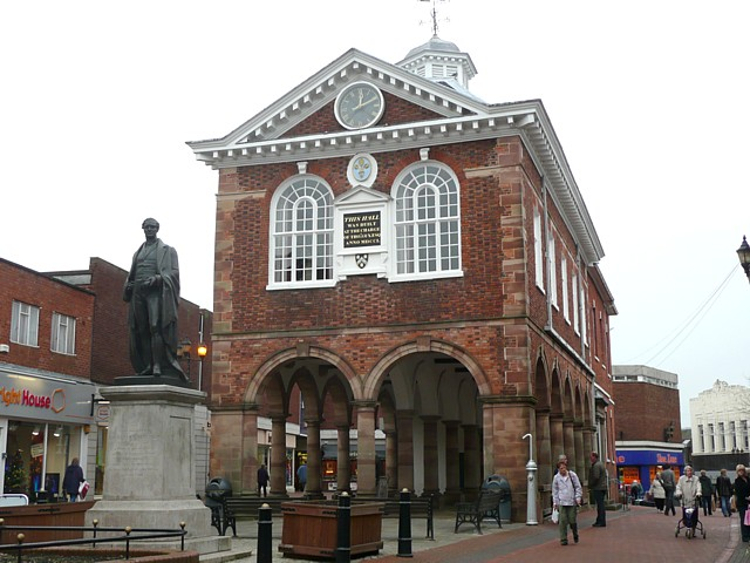
Tamworth Town Hall
Tamworth Town Hall is a municipal building in Market Street, Tamworth, Staffordshire, England. The town hall, which was the meeting place of Tamworth Borough...
River Anker
The River Anker is a river in England that flows through the centre of Nuneaton. It is a major tributary of the River Tame, which it joins in Tamworth...
Nearby Amenities
Located within 500m of 52.627111,-1.687651Have you been to Kettlebrook?
Leave your review of Kettlebrook below (or comments, questions and feedback).