Newtonhill Wood

Wood, Forest in Roxburghshire

Scotland

Newtonhill Wood

Grazing and woodland near Southfield In the Roxburgh hills.
Grazing and woodland near Southfield Credit: James Denham

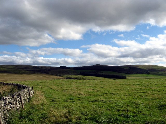
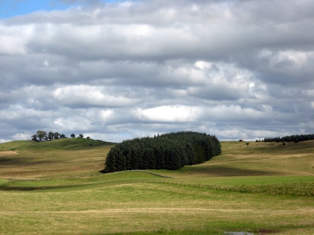
Newtonhill Wood is a picturesque forest located in the county of Roxburghshire, Scotland. Covering an area of approximately 100 hectares, it is a popular destination for nature lovers and outdoor enthusiasts.

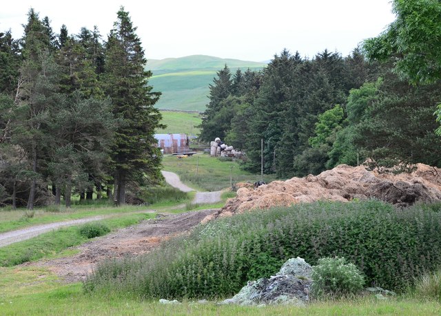
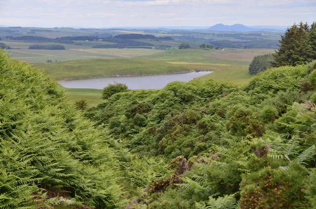
The wood is primarily composed of mixed deciduous trees, including oak, beech, and birch, creating a diverse and vibrant ecosystem. The dense foliage provides a haven for various bird species, such as woodpeckers and owls, making it a haven for birdwatchers.

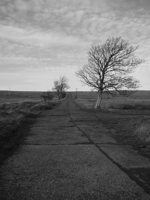
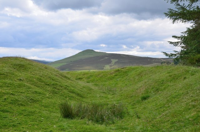
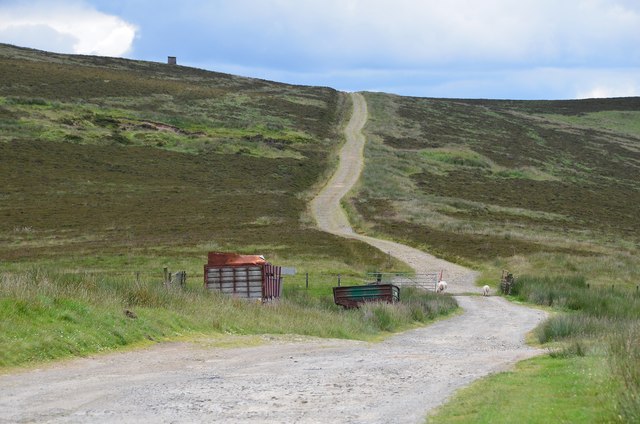
Traversing through Newtonhill Wood, visitors can explore a network of well-maintained trails, allowing them to immerse themselves in the natural beauty of the surroundings. The paths wind through the forest, offering stunning views of the rolling hills and the nearby River Teviot. They are suitable for both leisurely strolls and more challenging hikes.

One of the highlights of Newtonhill Wood is its rich biodiversity. The forest is home to a wide range of flora and fauna, including rare and protected species. Wildflowers such as bluebells and primroses carpet the forest floor during springtime, adding a burst of color to the landscape.

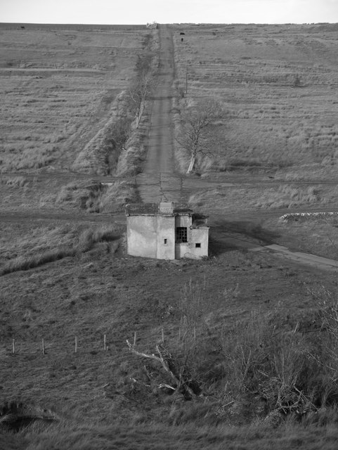
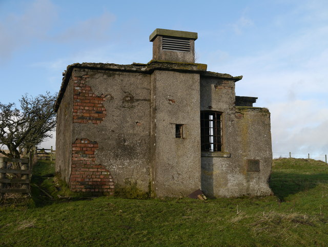
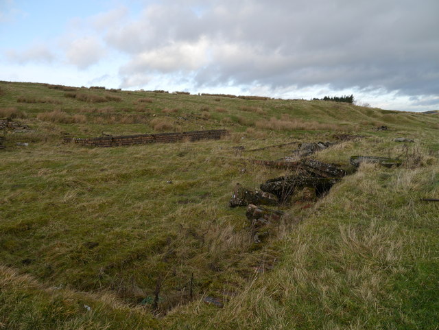
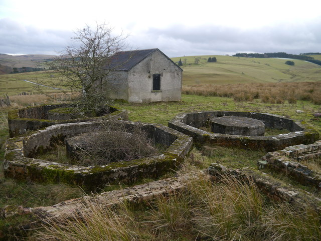
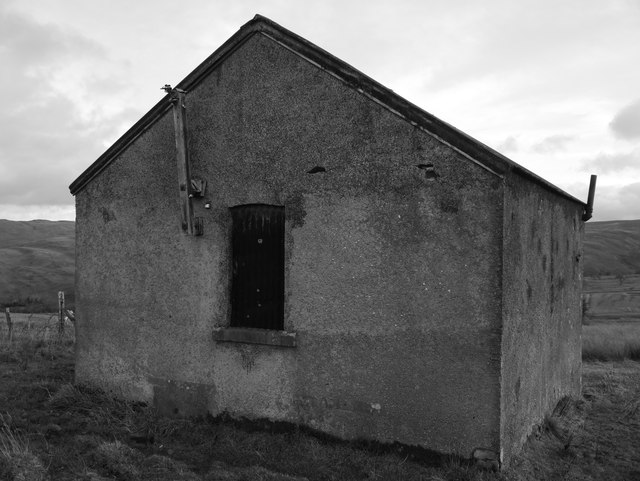
In addition to its natural beauty, Newtonhill Wood also has historical significance. The remnants of an ancient settlement, including a fortified tower, can be found within the forest. These archaeological features provide a glimpse into the area's rich past.

Overall, Newtonhill Wood is a captivating destination that offers a tranquil escape into nature, allowing visitors to connect with the natural environment and appreciate the diverse wildlife and historical heritage of Roxburghshire.

If you have any feedback on the listing, please let us know in the comments section below.

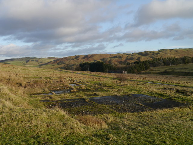
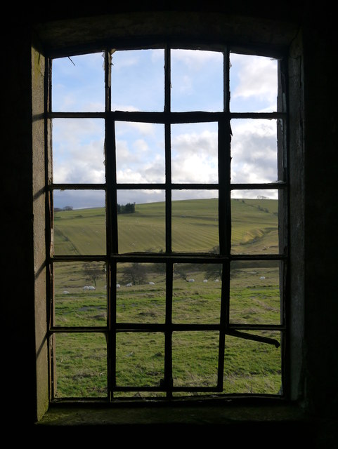
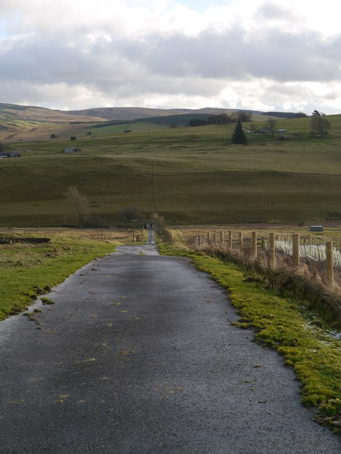
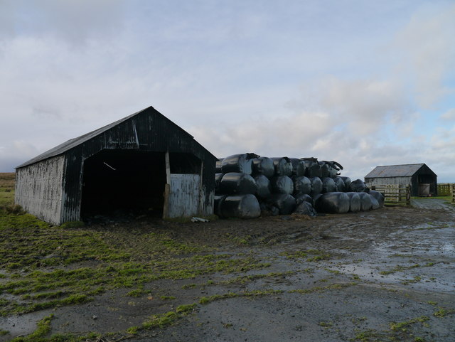
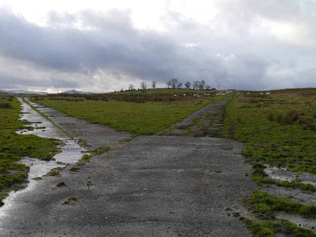
Newtonhill Wood Images

Images are sourced within 2km of 55.363272/-2.7957857 or Grid Reference NT4907. Thanks to Geograph Open Source API. All images are credited.

Grazing and woodland near Southfield In the Roxburgh hills.
Grazing and woodland near Southfield
In the Roxburgh hills.
Gently rolling pasture land near Southfield Farm In Roxburghshire.
Gently rolling pasture land near Southfield Farm
In Roxburghshire.
A View Across Stobs Camp Viewed from a ridge over the Barnes Burn, this small equipment drying building was adjacent to the 'bathing pond' - now occupied by scrub and reeds, the periphery of which can be noted to the bottom right.

For a close up of the building, see <a href="https://www.geograph.org.uk/photo/3752223">NT5009 : Near Stobs Camp Bathing Pond</a>
A View Across Stobs Camp
Viewed from a ridge over the Barnes Burn, this small equipment drying building was adjacent to the 'bathing pond' - now occupied by scrub and reeds, the periphery of which can be noted to the bottom right. For a close up of the building, see NT5009 : Near Stobs Camp Bathing Pond
Access Road At Stobs Camp A bleak place, once a hive of military activity.
Access Road At Stobs Camp
A bleak place, once a hive of military activity.
A View Across Stobs Camp A view across the camp site, with concrete foundations prominent in the foreground.
A View Across Stobs Camp
A view across the camp site, with concrete foundations prominent in the foreground.
Drying Building One of two remaining equipment drying buildings at the former camp site.
Drying Building
One of two remaining equipment drying buildings at the former camp site.
A Window With A View A view out of a drying building window across the remains of the camp site.  For an external view of the building, see <a href="https://www.geograph.org.uk/photo/3789565">NT4909 : Drying Building</a>
A Window With A View
A view out of a drying building window across the remains of the camp site. For an external view of the building, see NT4909 : Drying Building
Building Foundations A set of brick and concrete foundations, just one of many at the former camp site.
Building Foundations
A set of brick and concrete foundations, just one of many at the former camp site.
Road In Stobs Camp This tarmac road provides access to Winningtonrig Farm, above the camp site.
Road In Stobs Camp
This tarmac road provides access to Winningtonrig Farm, above the camp site.
Storage At Stobs Probable camp buildings now utilised as farm storage at the top of the former Stobs Camp site.
Storage At Stobs
Probable camp buildings now utilised as farm storage at the top of the former Stobs Camp site.
A Meeting Of Two Roads A junction at the top of the Stobs Camp site.
A Meeting Of Two Roads
A junction at the top of the Stobs Camp site.
Tanks At Stobs Camp Three octagonal tanks and several rectangular tanks remain near the top of the site: it is unclear what these tanks contained.
Tanks At Stobs Camp
Three octagonal tanks and several rectangular tanks remain near the top of the site: it is unclear what these tanks contained.
Derelict Building At Stobs Camp Located next to some tanks near the top of the site, the function of this building is unknown.
Derelict Building At Stobs Camp
Located next to some tanks near the top of the site, the function of this building is unknown.
Track on Newton Hill The track up from Barns passes through shelter belts here.
Track on Newton Hill
The track up from Barns passes through shelter belts here.
Settlement site, Newton Hill A roughly circular area has been enclosed by ramparts, now close to trees in a shelter belt to the NW. There are also remains of another settlement with hut circles on White Knowe, about 400m to the W. The summit in view is Penchrise Pen.
Settlement site, Newton Hill
A roughly circular area has been enclosed by ramparts, now close to trees in a shelter belt to the NW. There are also remains of another settlement with hut circles on White Knowe, about 400m to the W. The summit in view is Penchrise Pen.
Track over Penchrise Pen The track from Barns here heads south over the flank of Penchrise Pen. There is also a track down to Penchrise farm to the left just past the cattle grid. The structure on the skyline appears to be a sentry box or guard post connected with the nearby Stobs Military Camp.
Track over Penchrise Pen
The track from Barns here heads south over the flank of Penchrise Pen. There is also a track down to Penchrise farm to the left just past the cattle grid. The structure on the skyline appears to be a sentry box or guard post connected with the nearby Stobs Military Camp.
Barnes Loch from Penchrise This bracken-choked burn drains from the N side of Penchrise Pen. Note the Eildon Hills in the background.
Barnes Loch from Penchrise
This bracken-choked burn drains from the N side of Penchrise Pen. Note the Eildon Hills in the background.
Concrete shelter near Penchrise Pen Presumably a relic of the Stobs Military Camp; there is an identical structure about half a km to the S, shown in <a href="https://www.geograph.org.uk/photo/258027">NT4806 : A concrete shelter near Penchrise Pen</a>.
Concrete shelter near Penchrise Pen
Presumably a relic of the Stobs Military Camp; there is an identical structure about half a km to the S, shown in NT4806 : A concrete shelter near Penchrise Pen.
Show me another place!

Newtonhill Wood is located at Grid Ref: NT4907 (Lat: 55.363272, Lng: -2.7957857)

Unitary Authority: The Scottish Borders

Police Authority: The Lothians and Scottish Borders

What 3 Words

///amuses.phones.backpacks. Near Hawick, Scottish Borders

Related Wikis

Stobs Military Camp

Stobs Camp is a military and internment camp located just outside Hawick in the Scottish Borders. It is an internationally important site due to its level...

Stobs railway station

Stobs railway station served the hamlet of Barnes, Scottish Borders, Scotland from 1862 to 1969 on the Border Union Railway. == History == The station...

Shankend

Shankend Manor was a sixteenth-century mansion located some six miles (ten kilometres) south of Hawick, close to Whitrope Siding in Scotland. It was constructed...

Shankend railway station

Shankend railway station served the hamlet of Shankend, Scottish Borders, Scotland from 1862 to 1969 on the Border Union Railway. == History == The station...

Nearby Amenities

Located within 500m of 55.363272,-2.7957857
Newton Hill
Ele: 321
Natural: peak
Lat/Long: 55.3635051/-2.7950443
The data included in this document is from www.openstreetmap.org. The data is made available under ODbL.

Have you been to Newtonhill Wood?

Leave your review of Newtonhill Wood below (or comments, questions and feedback).