Burnt Craig Wood

Wood, Forest in Roxburghshire

Scotland

Burnt Craig Wood

Track over Penchrise Pen The track from Barns here heads south over the flank of Penchrise Pen. There is also a track down to Penchrise farm to the left just past the cattle grid. The structure on the skyline appears to be a sentry box or guard post connected with the nearby Stobs Military Camp.
Track over Penchrise Pen Credit: Jim Barton

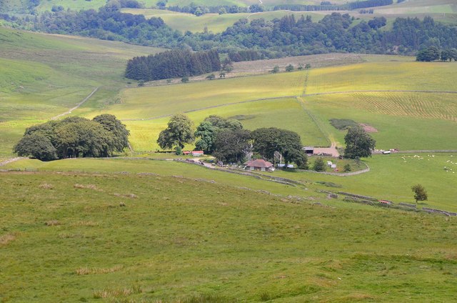
Burnt Craig Wood is a forest located in the picturesque region of Roxburghshire, Scotland. Situated near the village of Burnfoot, this woodland covers an area of approximately 500 acres and is known for its diverse range of flora and fauna.

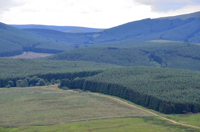
The wood is predominantly composed of native Scottish tree species, including oak, birch, and Scots pine. These majestic trees create a dense canopy, providing a habitat for various woodland creatures such as red squirrels, roe deer, and a variety of bird species, including woodpeckers and owls.

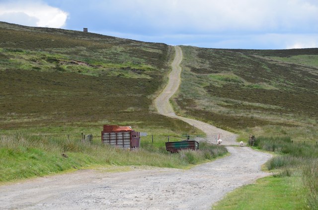
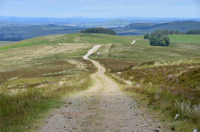
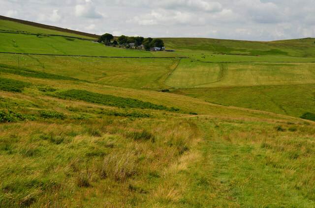
Burnt Craig Wood offers visitors an enchanting setting for outdoor activities and exploration. A network of well-maintained trails weaves through the forest, allowing hikers and nature enthusiasts to immerse themselves in the tranquil surroundings. The trails offer different levels of difficulty, catering to both casual walkers and more adventurous individuals.

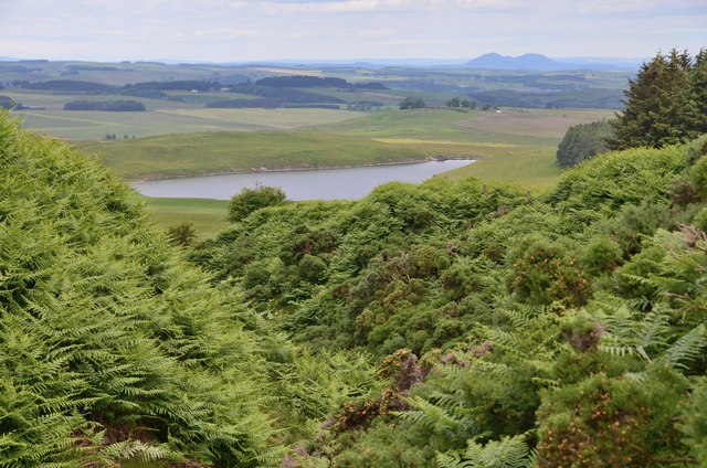
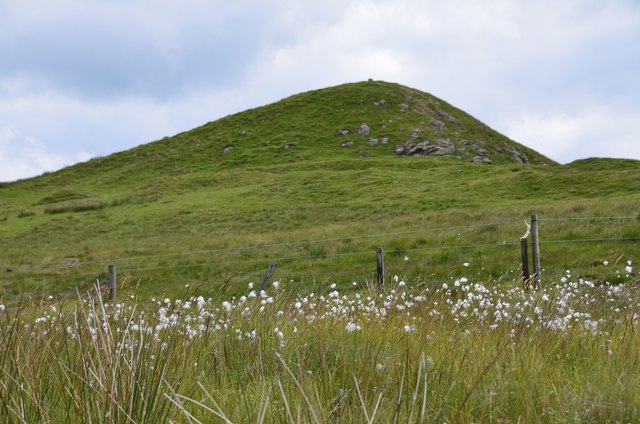
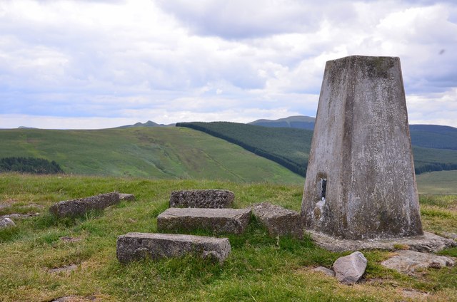
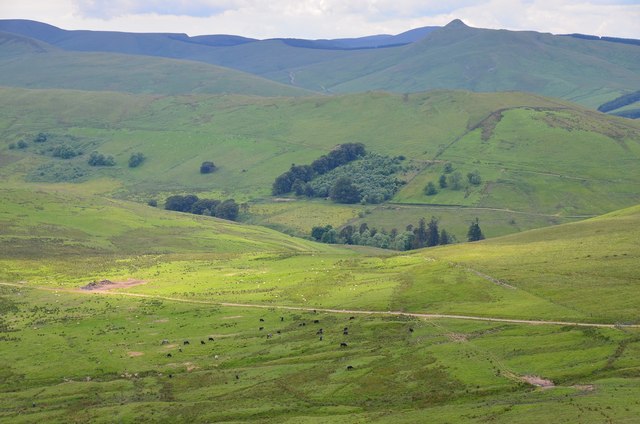
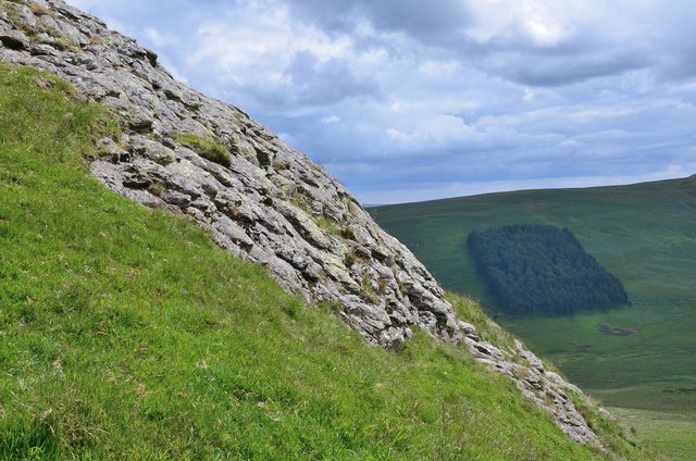
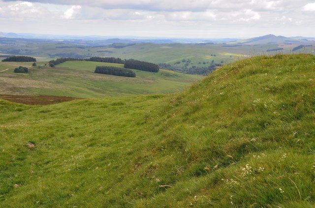
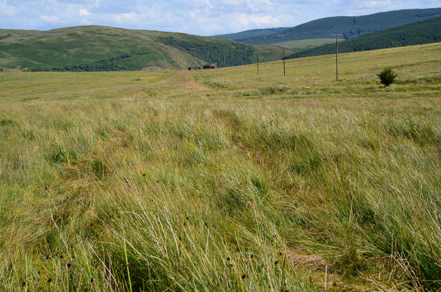
The wood's location on the slopes of Burnt Craig Hill offers stunning panoramic views of the surrounding countryside, with the rolling hills and meandering rivers of Roxburghshire serving as a backdrop to the forest's beauty.

This natural gem also plays a vital role in preserving the region's biodiversity. The woodland is managed sustainably, with conservation efforts focused on maintaining the delicate ecological balance and protecting rare and endangered species.

Burnt Craig Wood is a cherished destination for locals and tourists alike, offering a peaceful retreat from the hustle and bustle of everyday life. Whether it's a leisurely stroll, birdwatching, or simply enjoying the tranquility of nature, this woodland never fails to captivate visitors with its timeless charm.

If you have any feedback on the listing, please let us know in the comments section below.

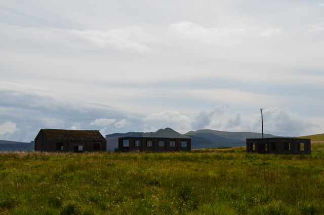
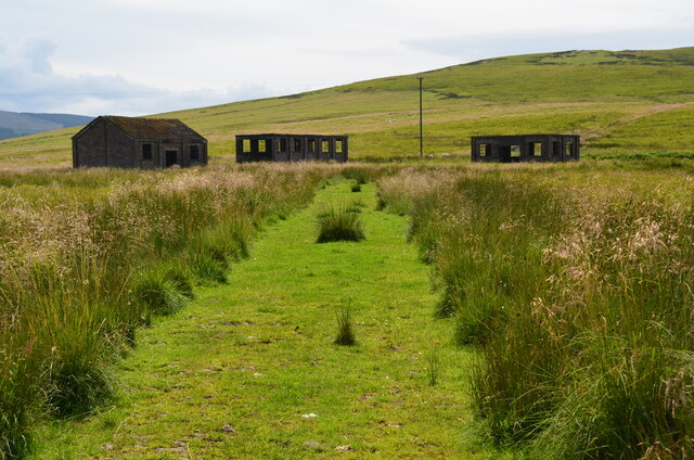
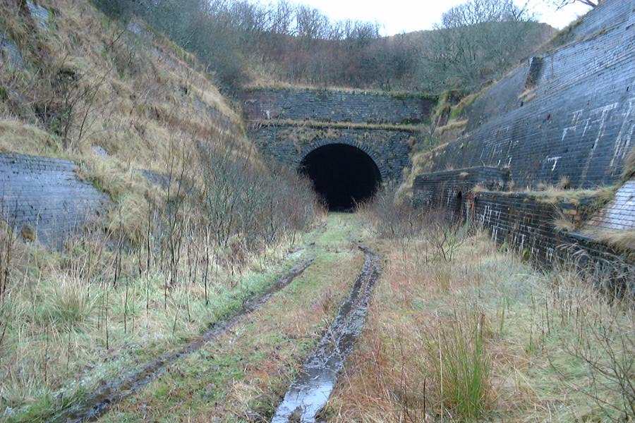
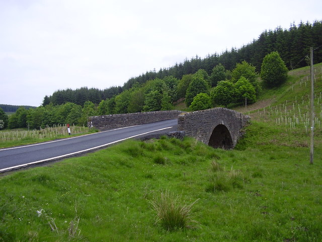
Burnt Craig Wood Images

Images are sourced within 2km of 55.338873/-2.7976139 or Grid Reference NT4905. Thanks to Geograph Open Source API. All images are credited.

Track over Penchrise Pen The track from Barns here heads south over the flank of Penchrise Pen. There is also a track down to Penchrise farm to the left just past the cattle grid. The structure on the skyline appears to be a sentry box or guard post connected with the nearby Stobs Military Camp.
Track over Penchrise Pen
The track from Barns here heads south over the flank of Penchrise Pen. There is also a track down to Penchrise farm to the left just past the cattle grid. The structure on the skyline appears to be a sentry box or guard post connected with the nearby Stobs Military Camp.
Barnes Loch from Penchrise This bracken-choked burn drains from the N side of Penchrise Pen. Note the Eildon Hills in the background.
Barnes Loch from Penchrise
This bracken-choked burn drains from the N side of Penchrise Pen. Note the Eildon Hills in the background.
Concrete shelter near Penchrise Pen Presumably a relic of the Stobs Military Camp; there is an identical structure about half a km to the S, shown in <a href="https://www.geograph.org.uk/photo/258027">NT4806 : A concrete shelter near Penchrise Pen</a>.
Concrete shelter near Penchrise Pen
Presumably a relic of the Stobs Military Camp; there is an identical structure about half a km to the S, shown in NT4806 : A concrete shelter near Penchrise Pen.
Sheepfold on White Hill A traditional style circular drystane sheepfold seen from the track on Penchrise Pen.
Sheepfold on White Hill
A traditional style circular drystane sheepfold seen from the track on Penchrise Pen.
Track on Penchrise Pen Looking back down the track towards White Knowe and Barns.
Track on Penchrise Pen
Looking back down the track towards White Knowe and Barns.
Shelter on Penchrise Pen A twin to the structure shown in <a href="https://www.geograph.org.uk/photo/4052148">NT4807 : Concrete shelter near Penchrise Pen</a>, about half a km to the NW.
Shelter on Penchrise Pen
A twin to the structure shown in NT4807 : Concrete shelter near Penchrise Pen, about half a km to the NW.
Cotton grass by the summit of Penchrise Pen A boggy area just below the summit cone and ramparts of the hill fort. There is a gate in the fence, though it is spanned by a strand of barbed wire.
Cotton grass by the summit of Penchrise Pen
A boggy area just below the summit cone and ramparts of the hill fort. There is a gate in the fence, though it is spanned by a strand of barbed wire.
Penchrise farm A hill farm seen from the nearby summit of Penchrise Pen.
Penchrise farm
A hill farm seen from the nearby summit of Penchrise Pen.
Summit trig pillar, Penchrise Pen Looking from this 439m summit to the twin summits of Maiden Paps (510m) and part of the extensive forest plantations in this area of the Borders. 'Pen' is from the old Welsh language once spoken in southern Scotland, describing a distinctive peak, and the name is still in use in these parts. The concrete blocks were probably from a structure connected with the Stobs Military Camp to the north.
Summit trig pillar, Penchrise Pen
Looking from this 439m summit to the twin summits of Maiden Paps (510m) and part of the extensive forest plantations in this area of the Borders. 'Pen' is from the old Welsh language once spoken in southern Scotland, describing a distinctive peak, and the name is still in use in these parts. The concrete blocks were probably from a structure connected with the Stobs Military Camp to the north.
Southwest from Penchrise Pen Looking across the broad ridge crossed by the track heading for the forest plantations at Hawk Hass to the peak of Skelfhill Pen (532m), another of the several prominent summits of resistant igneous rocks dating from the early Carboniferous period. On the intermediate ridge in the centre is Brae Plantation.
Southwest from Penchrise Pen
Looking across the broad ridge crossed by the track heading for the forest plantations at Hawk Hass to the peak of Skelfhill Pen (532m), another of the several prominent summits of resistant igneous rocks dating from the early Carboniferous period. On the intermediate ridge in the centre is Brae Plantation.
Forestry around Peelbraehope This view from the summit of Penchrise Pen shows just a small part of the forestry plantations in this area. Left of centre is the clearing at Peelbraehope (see <a href="https://www.geograph.org.uk/photo/671029">NT4804 : Peelbraehope</a>) with the track from Barns to Hawkhass coming in from the lower right.
Forestry around Peelbraehope
This view from the summit of Penchrise Pen shows just a small part of the forestry plantations in this area. Left of centre is the clearing at Peelbraehope (see NT4804 : Peelbraehope) with the track from Barns to Hawkhass coming in from the lower right.
Rock outcrop on Penchrise Pen Igneous rocks play a major part in the landscape here, with volcanic plugs, necks and lava flows having helped shape the topography we now see. The chapter entitled 'Volcanoes of the steamy wetlands' explains more in 'Death of an Ocean' by E Clarkson and B Upton, Dunedin Edinburgh, 2010.
The shelter belt in the background is Burnt Craig Wood below Stirkcleuch Height.
Rock outcrop on Penchrise Pen
Igneous rocks play a major part in the landscape here, with volcanic plugs, necks and lava flows having helped shape the topography we now see. The chapter entitled 'Volcanoes of the steamy wetlands' explains more in 'Death of an Ocean' by E Clarkson and B Upton, Dunedin Edinburgh, 2010. The shelter belt in the background is Burnt Craig Wood below Stirkcleuch Height.
Hill fort ramparts on Penchrise Pen Near the summit, looking NNE over Newton Hill to Rubers Law in the distance, right.
Hill fort ramparts on Penchrise Pen
Near the summit, looking NNE over Newton Hill to Rubers Law in the distance, right.
Track east of the Penchrise Burn A track on the grassy moorland between the Penchrise Burn and Shankend. Penchrise farm is in the background.
Track east of the Penchrise Burn
A track on the grassy moorland between the Penchrise Burn and Shankend. Penchrise farm is in the background.
Moorland path to Shankend To the east of the fence, the route is a very sketchy path of sorts through thick grass on uneven moorland, boggy in places - quite enjoyable, in retrospect.
Moorland path to Shankend
To the east of the fence, the route is a very sketchy path of sorts through thick grass on uneven moorland, boggy in places - quite enjoyable, in retrospect.
Concrete remains above Shankend Reinforced concrete from some building or structure and another building not far from an ancient settlement site, possibly in connection with tank training here in WW2.
Concrete remains above Shankend
Reinforced concrete from some building or structure and another building not far from an ancient settlement site, possibly in connection with tank training here in WW2.
Disused buildings near Shankend Buildings presumably connected with the Stobs Camp or tank training in WW2. The peaks of Maiden Paps are on the skyline.
Disused buildings near Shankend
Buildings presumably connected with the Stobs Camp or tank training in WW2. The peaks of Maiden Paps are on the skyline.
Track to buildings near Shankend A track to the group of buildings on the moorland west of Shankend Viaduct.
Track to buildings near Shankend
A track to the group of buildings on the moorland west of Shankend Viaduct.
Show me another place!

Burnt Craig Wood is located at Grid Ref: NT4905 (Lat: 55.338873, Lng: -2.7976139)

Unitary Authority: The Scottish Borders

Police Authority: The Lothians and Scottish Borders

What 3 Words

///hung.whirlpool.ticket. Near Teviothead, Scottish Borders

Nearby Locations

Burnt Craig Wood

Related Wikis

Nearby Amenities

Located within 500m of 55.338873,-2.7976139
Stirkcleuch Height
Ele: 443
Natural: peak
Lat/Long: 55.33524/-2.7941347
The data included in this document is from www.openstreetmap.org. The data is made available under ODbL.

Have you been to Burnt Craig Wood?

Leave your review of Burnt Craig Wood below (or comments, questions and feedback).