Douglas Wood
Wood, Forest in Angus
Scotland
Douglas Wood
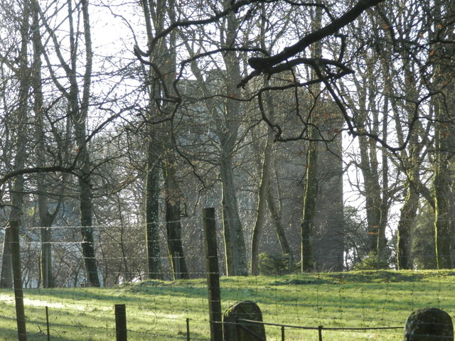
Douglas Wood, Angus, also known as Wood, Forest, is a small village located in the county of Angus, Scotland. It is situated in the heart of the Angus Glens, surrounded by lush green forests and rolling hills. The village gets its name from the dense woodland that surrounds it, providing a beautiful and tranquil setting for its residents.
With a population of approximately 500 people, Douglas Wood, Angus is a close-knit community where everyone knows each other. The village has a strong sense of community spirit, and residents often come together to organize local events and activities. The village is home to a primary school, a village hall, and a few small shops that cater to the daily needs of its residents.
Douglas Wood, Angus is located near several popular tourist attractions, making it a great base for exploring the surrounding area. The nearby Angus Glens offer stunning landscapes and opportunities for outdoor activities such as hiking, cycling, and wildlife spotting. The village is also close to the city of Dundee, known for its vibrant arts scene and historic attractions.
The village has a rich history, with evidence of human settlement dating back thousands of years. The area was once heavily involved in the timber industry, and remnants of old sawmills can still be seen in the surrounding forests. Today, Douglas Wood, Angus retains its connection to nature, with many residents embracing an outdoor lifestyle and taking advantage of the picturesque surroundings.
In summary, Douglas Wood, Angus is a small village nestled in the Angus Glens of Scotland. With its idyllic setting, strong community spirit, and proximity to nature and attractions, it offers a peaceful and fulfilling lifestyle for its residents.
If you have any feedback on the listing, please let us know in the comments section below.
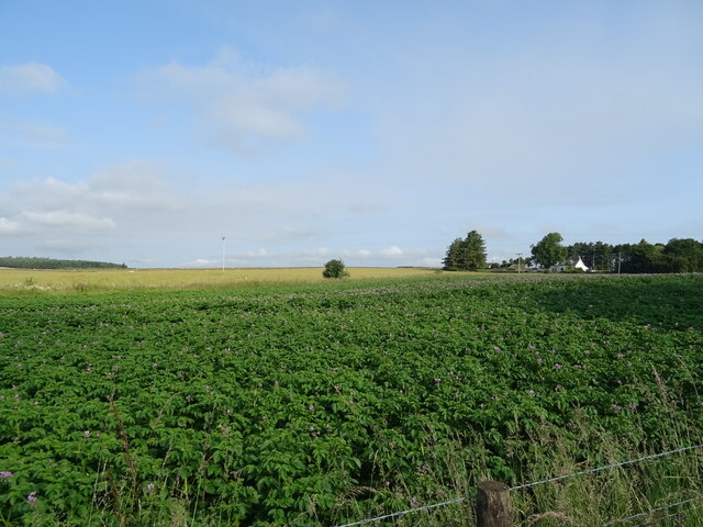
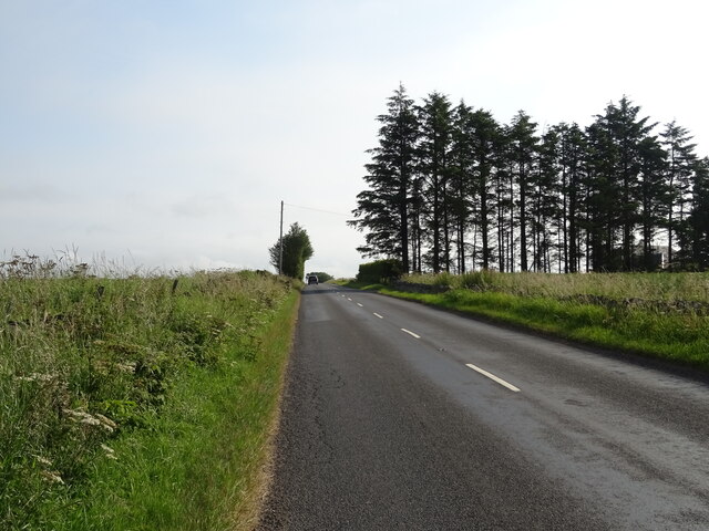
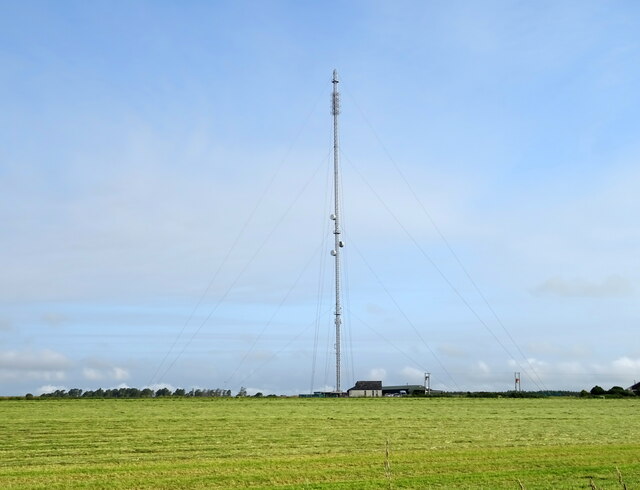
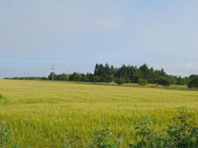
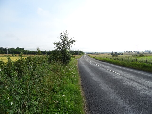
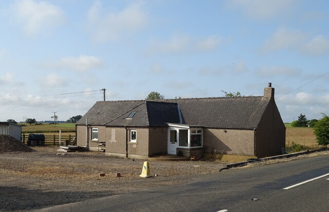
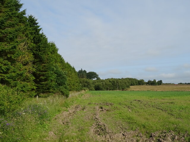
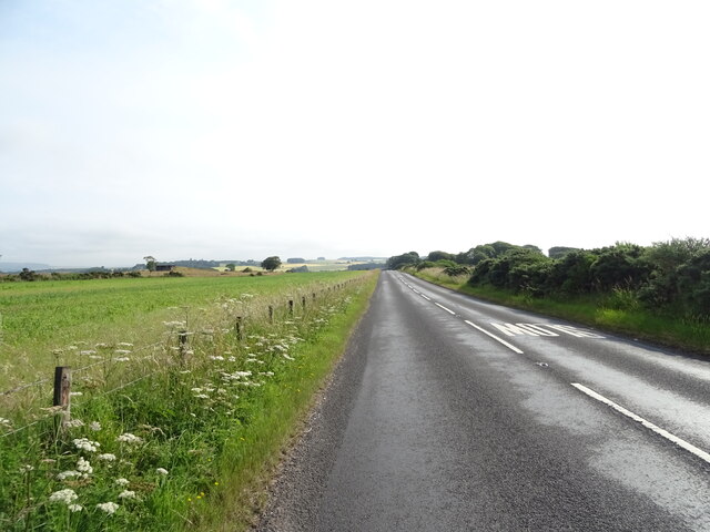
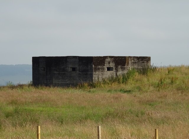
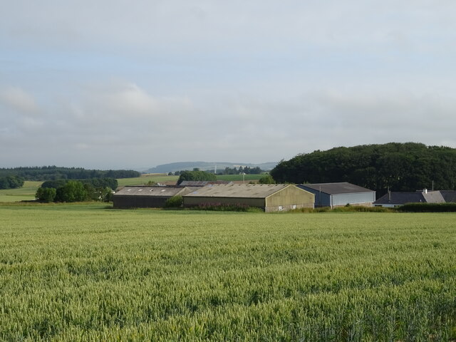
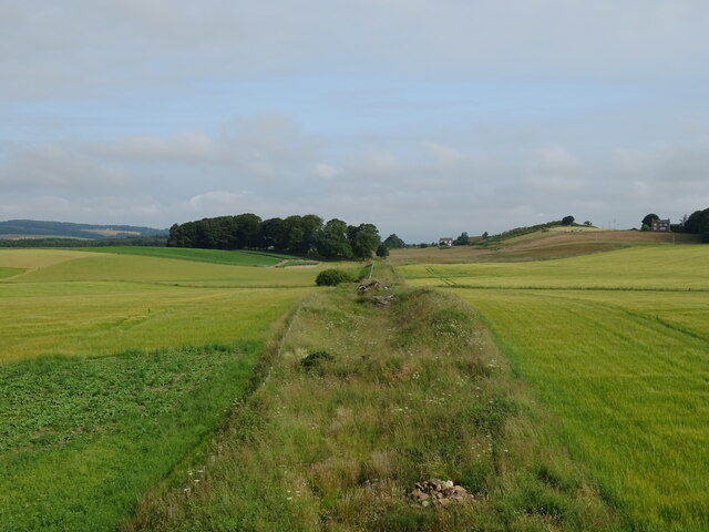
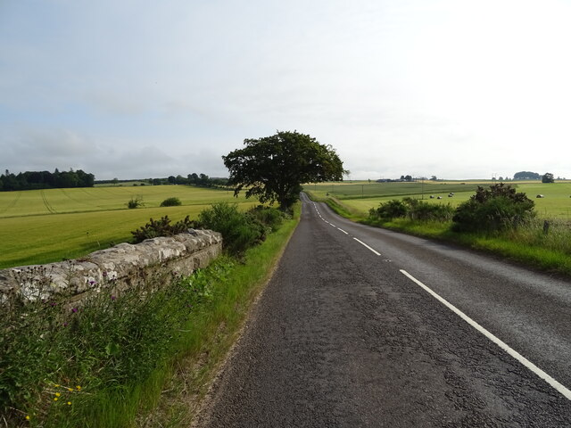
Douglas Wood Images
Images are sourced within 2km of 56.563774/-2.8342258 or Grid Reference NO4841. Thanks to Geograph Open Source API. All images are credited.


Douglas Wood is located at Grid Ref: NO4841 (Lat: 56.563774, Lng: -2.8342258)
Unitary Authority: Angus
Police Authority: Tayside
What 3 Words
///odds.driftwood.middle. Near Letham, Angus
Nearby Locations
Related Wikis

Kirkbuddo
Kirkbuddo (Scots pronunciation: [ˌkərˈbʌdə]; Scottish Gaelic: Cair Bhuite) is a village in the county of Angus, Scotland, between the towns of Forfar and...

Kirkbuddo railway station
Kirkbuddo railway station served the village of Kirkbuddo, Angus, Scotland, from 1870 to 1955 on the Dundee and Forfar direct line. == History == The station...

Whigstreet
Whigstreet is a village in the county of Angus, Scotland, between the towns of Forfar and Carnoustie. Nearby lie the remains of a temporary Roman marching...
Affleck Castle
Affleck Castle, also known as Auchenleck Castle, is a tall L-plan tower house dating from the 15th century, 4 miles (6.4 km) north of Monifieth and 1 mile...
Monikie
Monikie is a village and civil parish in Angus, Scotland, north-east of Dundee. == History == The village grew from small beginnings as just one of many...

Craigton, Angus
Craigton is a village in Angus, Scotland. It lies to the north of the Downie Hills, approximately three miles north of Carnoustie. Immediately to the west...

Inverarity
Inverarity is a village in Angus, Scotland, UK, on the A90, 6 miles from Forfar, and 7 miles from Dundee. The nearest villages are Gateside, Invereighty...

Dundee East (UK Parliament constituency)
Dundee East is a constituency of the House of Commons of the Parliament of the United Kingdom (at Westminster). Created for the 1950 general election,...
Nearby Amenities
Located within 500m of 56.563774,-2.8342258Have you been to Douglas Wood?
Leave your review of Douglas Wood below (or comments, questions and feedback).