Hare Cairn

Heritage Site in Angus

Scotland

Hare Cairn

A start to the harvest A swathe of barley has been safely gathered in despite the recent bad weather
A start to the harvest Credit: Douglas Nelson

Hare Cairn, located in the county of Angus, Scotland, is a significant heritage site that holds historical and cultural importance. This ancient monument is situated atop a hill near the village of Inverkeilor, offering stunning views of the surrounding countryside.

Hare Cairn is believed to date back to the Bronze Age, making it over 4,000 years old. It is a chambered cairn, which means it is a burial site constructed from stones and earth. The cairn itself is circular in shape and measures approximately 10 meters in diameter. At its center, there is a stone chamber that was once used for burial purposes.

The site was excavated in the 19th century, revealing numerous artifacts and human remains. These findings suggest that Hare Cairn was a significant burial site for the local community during the Bronze Age. The cairn is surrounded by a low stone wall, which was likely added during the excavation to protect and preserve the site.

Today, Hare Cairn is maintained by Historic Environment Scotland and is open to the public. Visitors can explore the site and learn about its historical significance through informational boards and guided tours. The location of Hare Cairn offers visitors a unique opportunity to appreciate the ancient landscape and understand the cultural heritage of the area.

In summary, Hare Cairn is an ancient burial site in Angus, Scotland, dating back to the Bronze Age. Its circular shape, stone chamber, and surrounding stone wall contribute to its historical significance. The site is open to the public, providing a glimpse into the region's past and offering breathtaking views of the surrounding countryside.

If you have any feedback on the listing, please let us know in the comments section below.

Hare Cairn Images

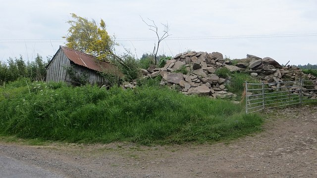
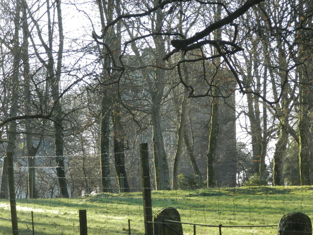
Images are sourced within 2km of 56.563/-2.838 or Grid Reference NO4841. Thanks to Geograph Open Source API. All images are credited.

A start to the harvest A swathe of barley has been safely gathered in despite the recent bad weather
A start to the harvest
A swathe of barley has been safely gathered in despite the recent bad weather
World War 2 Pill Box
Pillbox near Douglas Wood Sits in a prominent position beside the B978
Pillbox near Douglas Wood
Sits in a prominent position beside the B978
Labothie from Hatton Fortunately the muddy ruts in the field are not the access route to Labothie, which is right on the far gridline of this square.
Labothie from Hatton
Fortunately the muddy ruts in the field are not the access route to Labothie, which is right on the far gridline of this square.
Downiemuir
Downiemuir
Field at Downiemuir
Field at Downiemuir
Monikie Burn The burn flows from the gentle slopes of the eastern Sidlaw Hills.
Monikie Burn
The burn flows from the gentle slopes of the eastern Sidlaw Hills.
Bractullo The land is high here and there is a break from the usual arable land in the form of sheep pasture.
Bractullo
The land is high here and there is a break from the usual arable land in the form of sheep pasture.
Forfar transmitter mast The transmitter on the Sidlaw Hills southeast of Forfar was a VHF 405 line television mast. Now it provides the FM radio service.

It was built by the BBC to serve Angus and the Firth of Tay area. At the time of construction, 1964, Dundee had reception issues with no local transmitters.
Forfar transmitter mast
The transmitter on the Sidlaw Hills southeast of Forfar was a VHF 405 line television mast. Now it provides the FM radio service. It was built by the BBC to serve Angus and the Firth of Tay area. At the time of construction, 1964, Dundee had reception issues with no local transmitters.
B978, Harecairn Passing the Forfar transmitter mast.
B978, Harecairn
Passing the Forfar transmitter mast.
Gallow Hill There is a Scout camp in the woods at the back of this hilltop field.
Gallow Hill
There is a Scout camp in the woods at the back of this hilltop field.
Gallow Hill Sheep at about 200m above sea level at the eastern end of the Sidlaw Hills.
Gallow Hill
Sheep at about 200m above sea level at the eastern end of the Sidlaw Hills.
Crossroads, Burnside A crossroads on the B978.
Crossroads, Burnside
A crossroads on the B978.
Arable land, Burnside
Pile of rubble, Gibsonhall There are several of these piles of sandstone deposited in the area.
Pile of rubble, Gibsonhall
There are several of these piles of sandstone deposited in the area.
Working on a power line Electricity supply work in progress, Kirkbuddo. There is quite a variety of supports here for the power lines: traditional and squat towers as well as wooden poles.
Working on a power line
Electricity supply work in progress, Kirkbuddo. There is quite a variety of supports here for the power lines: traditional and squat towers as well as wooden poles.
View towards Hynd Castle Within the roundel wood there is a mound and remains of a small tower house.
View towards Hynd Castle
Within the roundel wood there is a mound and remains of a small tower house.
Show me another place!

Hare Cairn is located at Grid Ref: NO4841 (Lat: 56.563, Lng: -2.838)

Unitary Authority: Angus

Police Authority: Tayside

What 3 Words

///uniforms.reclaimed.corals. Near Letham, Angus

Related Wikis

Kirkbuddo

Kirkbuddo (Scots pronunciation: [ˌkərˈbʌdə]; Scottish Gaelic: Cair Bhuite) is a village in the county of Angus, Scotland, between the towns of Forfar and...

Kirkbuddo railway station

Kirkbuddo railway station served the village of Kirkbuddo, Angus, Scotland, from 1870 to 1955 on the Dundee and Forfar direct line. == History == The station...

Whigstreet

Whigstreet is a village in the county of Angus, Scotland, between the towns of Forfar and Carnoustie. Nearby lie the remains of a temporary Roman marching...

Affleck Castle

Affleck Castle, also known as Auchenleck Castle, is a tall L-plan tower house dating from the 15th century, 4 miles (6.4 km) north of Monifieth and 1 mile...

Nearby Amenities

Located within 500m of 56.563,-2.838
Gallow Hill
Ele: 212
Natural: peak
Lat/Long: 56.5649221/-2.8335117
The Brackens
Place: isolated_dwelling
Lat/Long: 56.5601689/-2.8406357
Power: pole
Lat/Long: 56.5585842/-2.8370088
Power: pole
Lat/Long: 56.5592976/-2.8367828
Power: pole
Lat/Long: 56.5600183/-2.8365349
Power: pole
Lat/Long: 56.5587366/-2.837316
Power: pole
Lat/Long: 56.5589917/-2.8378316
Power: pole
Lat/Long: 56.5593194/-2.8384899
Power: pole
Lat/Long: 56.5596882/-2.8391789
Power: pole
Lat/Long: 56.5600195/-2.8397954
Power: pole
Lat/Long: 56.5601719/-2.8401004
Power: pole
Lat/Long: 56.5605527/-2.8407038
Power: pole
Lat/Long: 56.5609916/-2.8401004
Power: pole
Lat/Long: 56.5614209/-2.8395168
Power: pole
Lat/Long: 56.5614644/-2.8393325
Power: pole
Lat/Long: 56.5602408/-2.8324865
Power: pole
Lat/Long: 56.5601719/-2.8336999
Power: pole
Lat/Long: 56.5600993/-2.8351657
Power: pole
Lat/Long: 56.5604874/-2.8374257
Power: pole
Lat/Long: 56.5609711/-2.8383604
Power: pole
Lat/Long: 56.5614644/-2.8393171
Power: pole
Lat/Long: 56.5619263/-2.8402145
Power: pole
Lat/Long: 56.5623954/-2.8411383
Power: pole
Lat/Long: 56.5628464/-2.8420335
Power: pole
Lat/Long: 56.5633155/-2.8429573
Power: pole
Lat/Long: 56.5635936/-2.8434839
Power: pole
Lat/Long: 56.5638366/-2.844434
Power: pole
Lat/Long: 56.5640772/-2.8453797
Power: pole
Lat/Long: 56.566753/-2.8395515
Power: pole
Lat/Long: 56.5660296/-2.8402728
Power: pole
Lat/Long: 56.565377/-2.8409011
Power: pole
Lat/Long: 56.5646997/-2.8415952
Power: pole
Lat/Long: 56.5640039/-2.8422768
Man Made: water_tap
Lat/Long: 56.5633525/-2.8355458
Man Made: water_tap
Lat/Long: 56.562244/-2.8367552
The data included in this document is from www.openstreetmap.org. The data is made available under ODbL.

Have you been to Hare Cairn?

Leave your review of Hare Cairn below (or comments, questions and feedback).