Gallow Hill
Hill, Mountain in Angus
Scotland
Gallow Hill
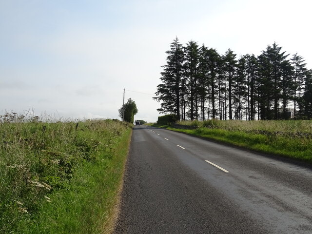
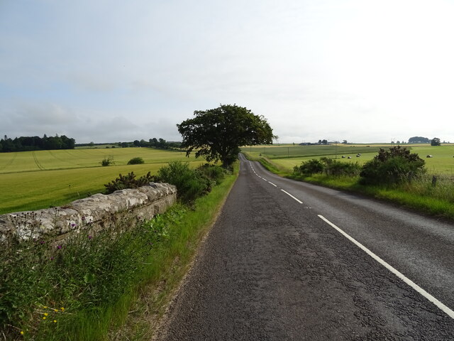
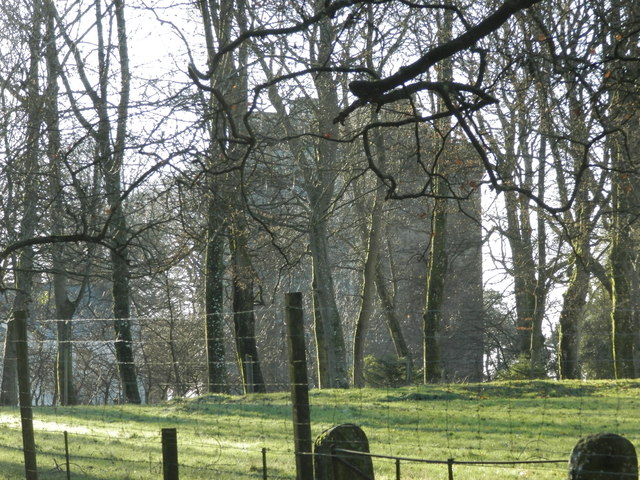
Gallow Hill, located in Angus, Scotland, is a prominent hill that forms part of the scenic landscape in the region. Standing at an elevation of approximately 200 meters (656 feet), it offers breathtaking views of the surrounding countryside and the nearby town of Forfar. The hill is situated just a few miles southeast of Forfar and is easily accessible by foot or by car.
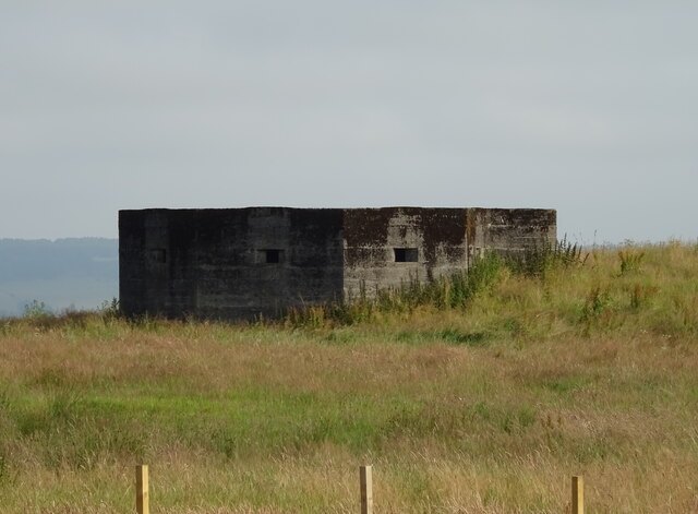
Gallow Hill is known for its historical significance, with evidence of human activity dating back thousands of years. Archaeological excavations have revealed ancient settlements and burial sites on the hill, indicating that it was inhabited during the Neolithic and Bronze Age periods. These findings have provided valuable insights into the region's prehistoric past.
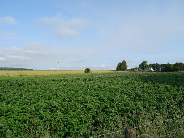
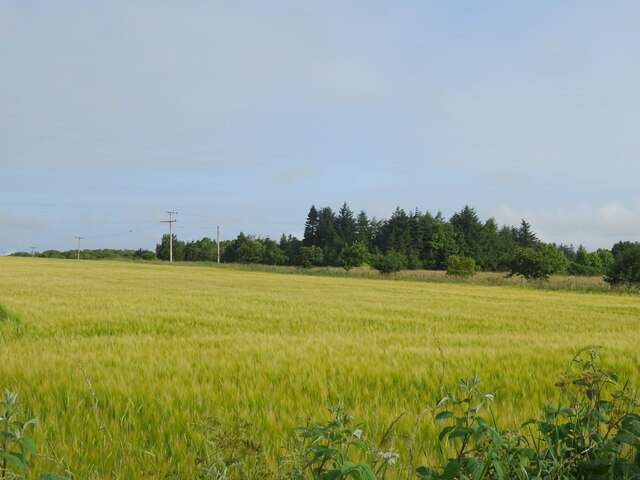
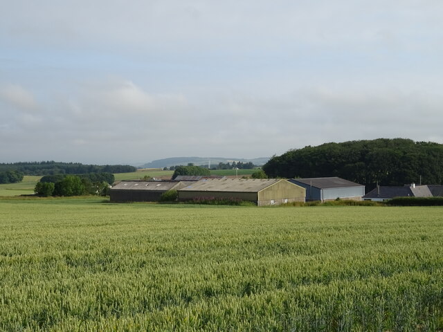
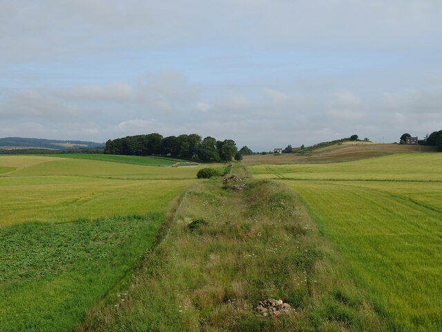
Today, Gallow Hill is a popular destination for locals and tourists alike, who are drawn to its natural beauty and historical significance. The hill offers various walking trails that cater to different levels of difficulty, making it suitable for hikers of all ages and abilities. Visitors can enjoy a leisurely stroll to the summit, where they can take in the panoramic views of the surrounding countryside, including the rolling hills and farmland that typify the Angus region.
With its rich history and stunning vistas, Gallow Hill provides a captivating experience for those seeking a blend of natural beauty and cultural heritage.
If you have any feedback on the listing, please let us know in the comments section below.
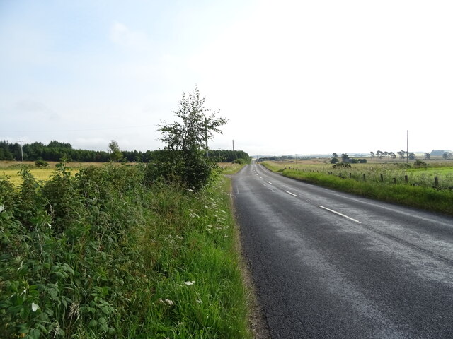
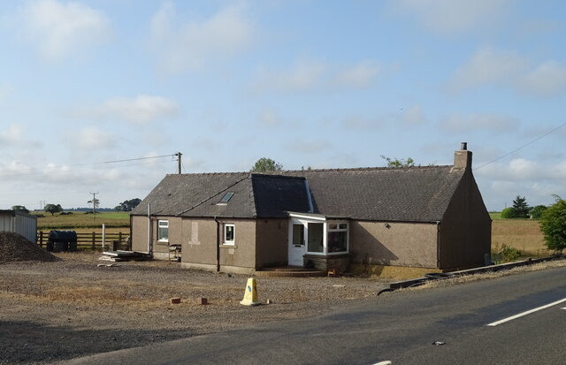
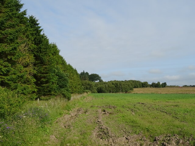
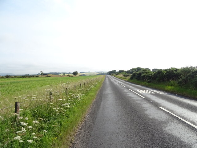
Gallow Hill Images
Images are sourced within 2km of 56.565054/-2.8335868 or Grid Reference NO4841. Thanks to Geograph Open Source API. All images are credited.


Gallow Hill is located at Grid Ref: NO4841 (Lat: 56.565054, Lng: -2.8335868)
Unitary Authority: Angus
Police Authority: Tayside
What 3 Words
///stoppage.troll.enigma. Near Letham, Angus
Nearby Locations
Related Wikis

Kirkbuddo
Kirkbuddo (Scots pronunciation: [ˌkərˈbʌdə]; Scottish Gaelic: Cair Bhuite) is a village in the county of Angus, Scotland, between the towns of Forfar and...

Kirkbuddo railway station
Kirkbuddo railway station served the village of Kirkbuddo, Angus, Scotland, from 1870 to 1955 on the Dundee and Forfar direct line. == History == The station...

Whigstreet
Whigstreet is a village in the county of Angus, Scotland, between the towns of Forfar and Carnoustie. Nearby lie the remains of a temporary Roman marching...
Affleck Castle
Affleck Castle, also known as Auchenleck Castle, is a tall L-plan tower house dating from the 15th century, 4 miles (6.4 km) north of Monifieth and 1 mile...
Monikie
Monikie is a village and civil parish in Angus, Scotland, north-east of Dundee. == History == The village grew from small beginnings as just one of many...

Craigton, Angus
Craigton is a village in Angus, Scotland. It lies to the north of the Downie Hills, approximately three miles north of Carnoustie. Immediately to the west...

Inverarity
Inverarity is a village in Angus, Scotland, UK, on the A90, 6 miles from Forfar, and 7 miles from Dundee. The nearest villages are Gateside, Invereighty...
Carnegie Castle
Carnegie Castle was a castle that was located in Angus, Scotland. The Carnegies owned the property between the 15th-18th century. The site of the castle...
Nearby Amenities
Located within 500m of 56.565054,-2.8335868Have you been to Gallow Hill?
Leave your review of Gallow Hill below (or comments, questions and feedback).