Crow Hill
Hill, Mountain in Angus
Scotland
Crow Hill

Crow Hill is a prominent hill located in the county of Angus, Scotland. With an elevation of approximately 451 meters (1,480 feet), it is considered a significant landmark in the region. Situated near the small village of Ballintuim, Crow Hill is part of a range of hills known as the Sidlaws.
The hill is characterized by its distinctive shape, featuring a rounded summit that offers breathtaking panoramic views of the surrounding countryside. Its slopes are covered in a patchwork of heather, grasses, and scattered trees, which provide a habitat for various wildlife species including deer, birds, and small mammals.
To reach the summit, there are several well-defined paths that wind their way up the hillside, making it accessible to both experienced hikers and casual walkers. The climb can be moderately challenging in certain sections, but the effort is rewarded with stunning vistas over the picturesque Angus glens and rolling farmland.
Crow Hill holds historical significance as well, with evidence of ancient settlements and prehistoric sites discovered in its vicinity. Archaeologists have found remnants of stone circles, cairns, and burial mounds, suggesting human activity in the area dating back thousands of years.
With its natural beauty and rich history, Crow Hill is a popular destination for outdoor enthusiasts, nature lovers, and those interested in exploring the cultural heritage of the Angus region. Its commanding presence and awe-inspiring views make it a must-visit location for anyone seeking a memorable experience in the Scottish countryside.
If you have any feedback on the listing, please let us know in the comments section below.
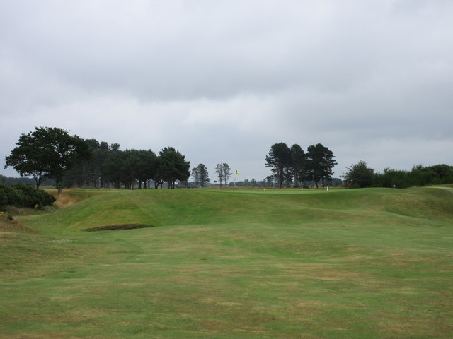
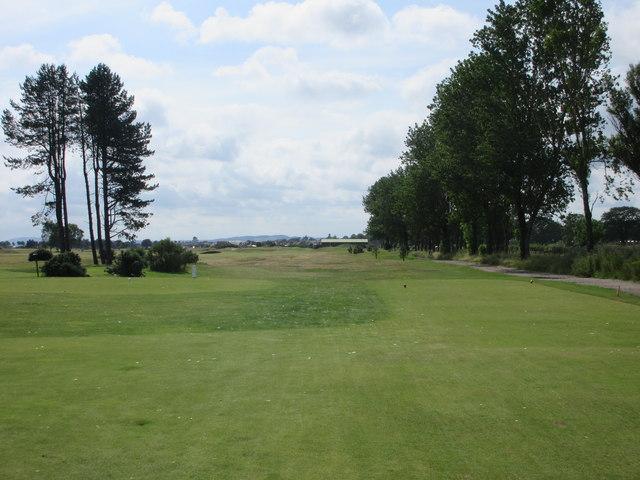
Crow Hill Images
Images are sourced within 2km of 56.484422/-2.8319475 or Grid Reference NO4832. Thanks to Geograph Open Source API. All images are credited.


Crow Hill is located at Grid Ref: NO4832 (Lat: 56.484422, Lng: -2.8319475)
Unitary Authority: Angus
Police Authority: Tayside
What 3 Words
///across.objecting.clerics. Near Monifieth, Angus
Nearby Locations
Related Wikis

Ashludie Hospital
Ashludie Hospital was a health facility in Victoria Street, Monifieth, Angus, Scotland. It was managed by NHS Tayside. It remains a Category B listed building...

Monifieth
Monifieth (Scottish Gaelic: Monadh Fotha) is a town and former police burgh in the council area of Angus, Scotland. It is situated on the north bank of...
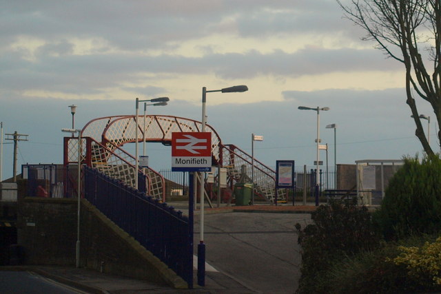
Monifieth railway station
Monifieth railway station serves the town of Monifieth near Dundee, Scotland. It is sited 5 miles 72 chains (9.5 kilometres) from the former Dundee East...
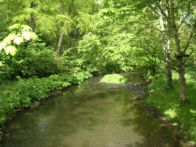
Dighty Burn
The Dighty Burn, also known as Dighty Water or Dichty Water, is a burn or stream 20 kilometres (12 mi) in length that flows through the north and east...

Balmossie railway station
Balmossie railway station is a small railway station at the border between Dundee and Angus which serves the east of Broughty Ferry and the west of Monifieth...

Barnhill railway station (Angus)
Barnhill railway station was a railway station in Scotland serving the suburb of Barnhill, Dundee. == History == The station was opened as Barnhill on...
Barnhill, Dundee
Barnhill is an area in Dundee, located within the suburb of Broughty Ferry. It is approximately 4½ miles east of Dundee City Centre. Until the late 19th...
Kingennie railway station
Kingennie railway station served the village of Kingennie, Angus, Scotland, from 1870 to 1955 on the Dundee and Forfar direct line. == History == The station...
Nearby Amenities
Located within 500m of 56.484422,-2.8319475Have you been to Crow Hill?
Leave your review of Crow Hill below (or comments, questions and feedback).