Springfield Wood
Wood, Forest in East Lothian
Scotland
Springfield Wood
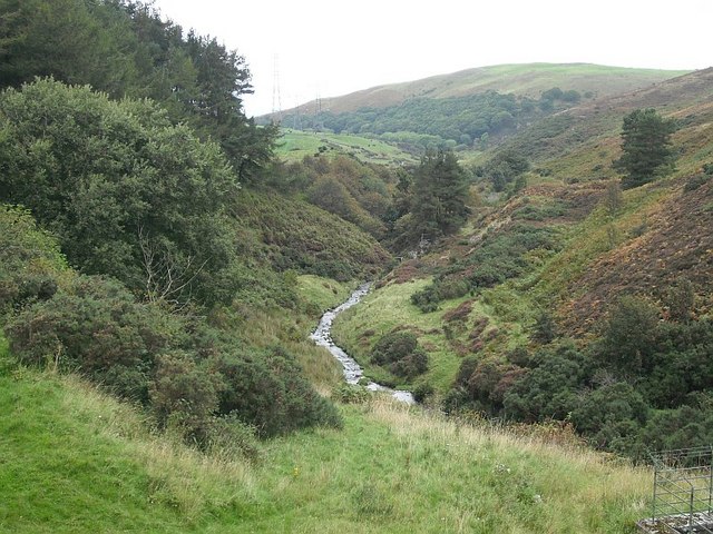
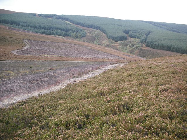
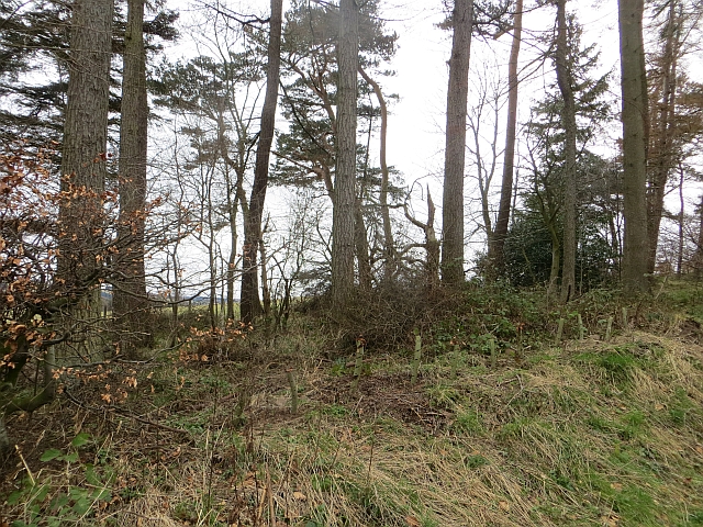
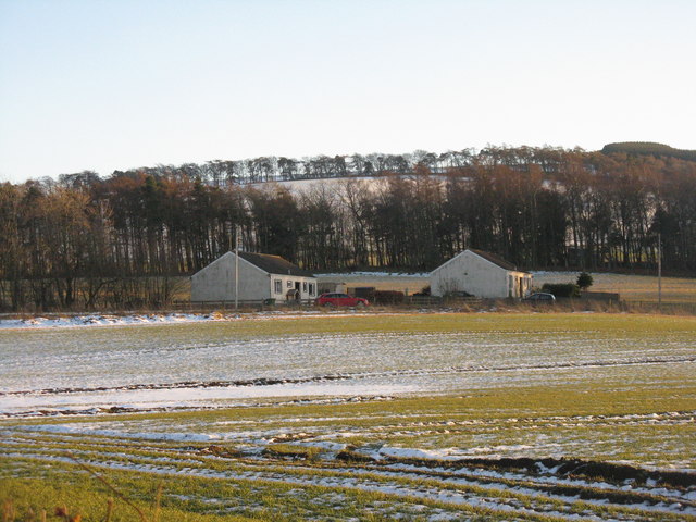
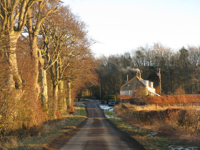
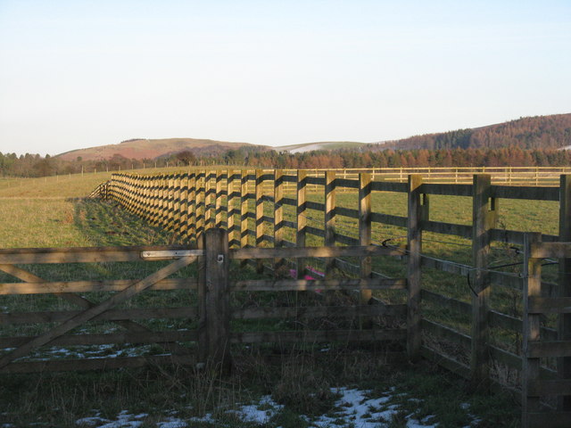
Springfield Wood, located in East Lothian, is a picturesque forest area that offers a peaceful retreat for nature enthusiasts and outdoor adventurers alike. Spanning approximately 100 acres, this wood is a popular destination for locals and visitors seeking a tranquil escape from the hustle and bustle of everyday life.
The woodland is composed of a diverse range of tree species, including oak, birch, and pine, creating a rich and vibrant ecosystem. These trees provide habitat for a variety of wildlife, such as red squirrels, deer, and a wide array of bird species, making it a haven for nature lovers and bird watchers.
Traversing the wood, visitors can explore a network of well-maintained trails that wind through the forest, offering opportunities for leisurely walks, cycling, and horseback riding. The paths are suitable for all ages and fitness levels, making it an ideal destination for families and individuals looking to connect with nature.
In addition to its natural beauty, Springfield Wood also boasts several amenities to enhance visitors' experiences. There are picnic areas and benches strategically placed throughout the wood, providing ample spots for picnickers to enjoy a meal or simply take in the serene surroundings. Furthermore, the wood is equipped with information boards that offer educational insights into the local flora and fauna, allowing visitors to learn more about the natural wonders they encounter.
Overall, Springfield Wood in East Lothian is a stunning forested area that offers a peaceful escape and an opportunity to immerse oneself in the beauty of nature. Whether it's a leisurely stroll, a family outing, or a chance to observe wildlife, this wood has something to offer for everyone.
If you have any feedback on the listing, please let us know in the comments section below.
Springfield Wood Images
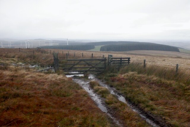
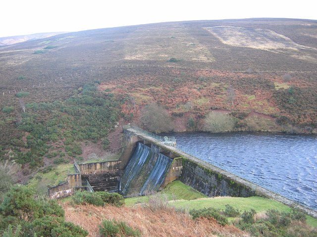
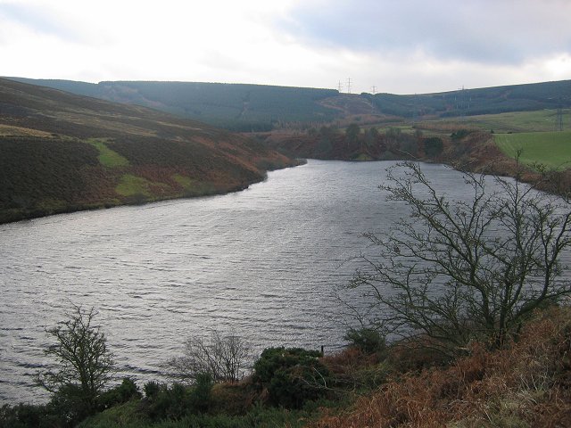
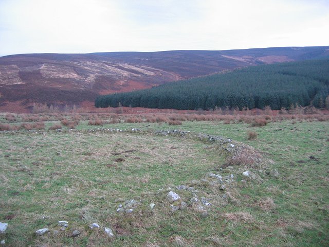
Images are sourced within 2km of 55.845701/-2.8187281 or Grid Reference NT4861. Thanks to Geograph Open Source API. All images are credited.


Springfield Wood is located at Grid Ref: NT4861 (Lat: 55.845701, Lng: -2.8187281)
Unitary Authority: East Lothian
Police Authority: The Lothians and Scottish Borders
What 3 Words
///ramp.meant.subplot. Near Pencaitland, East Lothian
Nearby Locations
Related Wikis

Humbie
Humbie is a hamlet and rural parish in East Lothian, Scotland lying in south-east of the county, approximately 10 miles (16 km) south-west of Haddington...
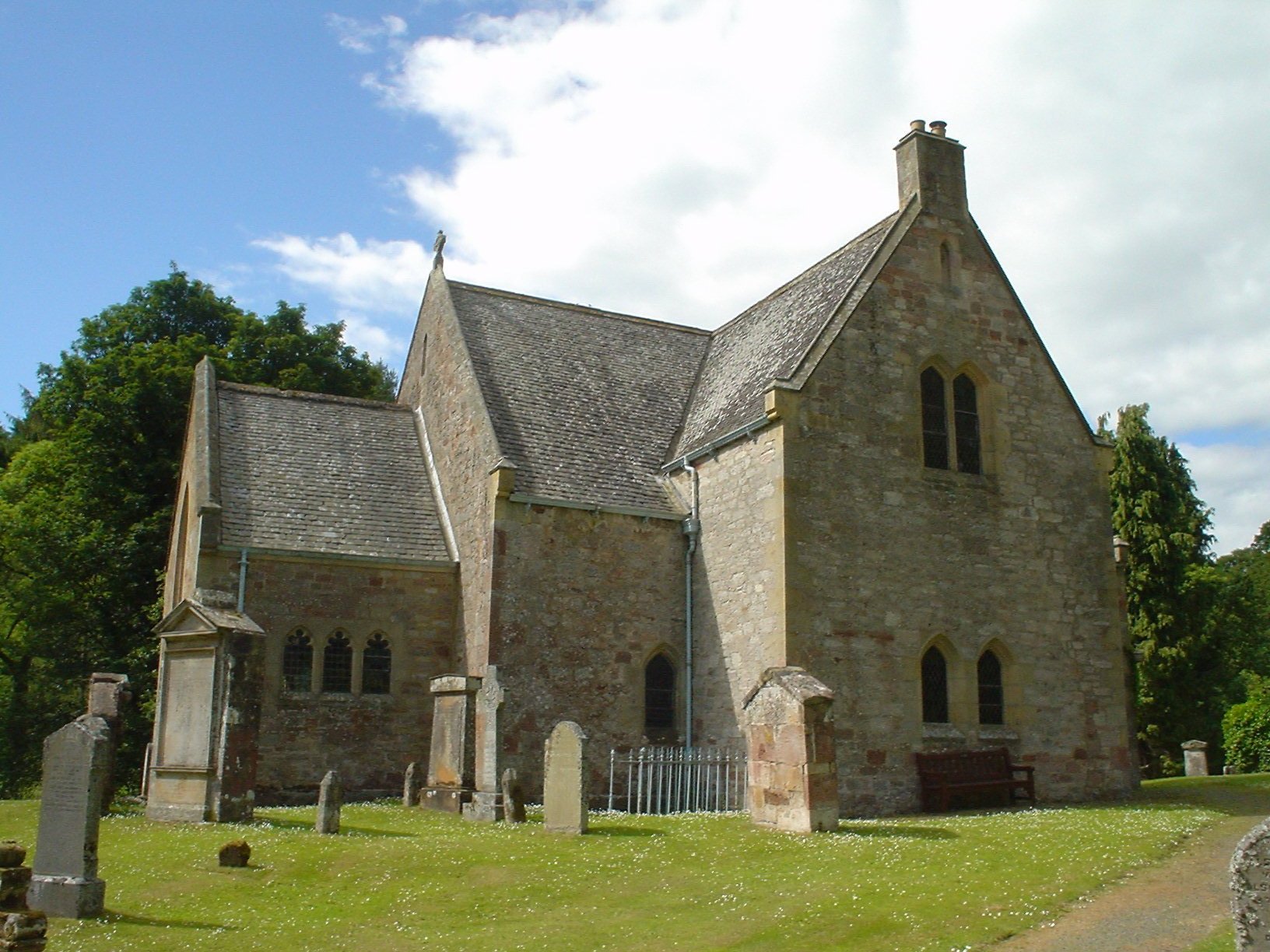
Humbie Parish Church
Humbie Parish Church is a church in the small village of Humbie, East Lothian, Scotland. It is part of the Church of Scotland, and is a linked charge which...

Humbie railway station
Humbie railway station served the civil parish of Humbie, East Lothian, Scotland, from 1901 to 1933 on the Macmerry Branch. == History == The station was...

Fala, Midlothian
Fala is a hamlet in the south-eastern corner of Midlothian, Scotland, and about 15 miles from Edinburgh. == Location == The parish of the same name is...
Nearby Amenities
Located within 500m of 55.845701,-2.8187281Have you been to Springfield Wood?
Leave your review of Springfield Wood below (or comments, questions and feedback).