Moss Hill Plantation

Wood, Forest in Banffshire

Scotland

Moss Hill Plantation

Beechwood on North East flank of the Bin of Cullen
Beechwood on North East flank of the Bin of Cullen Credit: Neil McWhirr

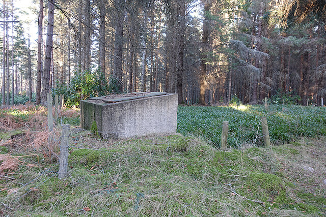
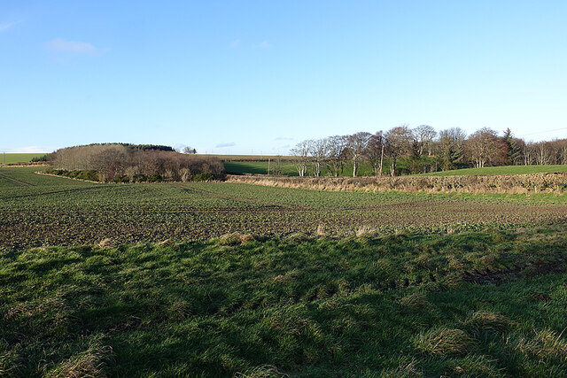
Moss Hill Plantation is an enchanting woodland estate located in Banffshire, Scotland. Spanning over a vast area of lush greenery and captivating woodlands, the plantation is a haven for nature enthusiasts and those seeking tranquility away from the bustling city life.

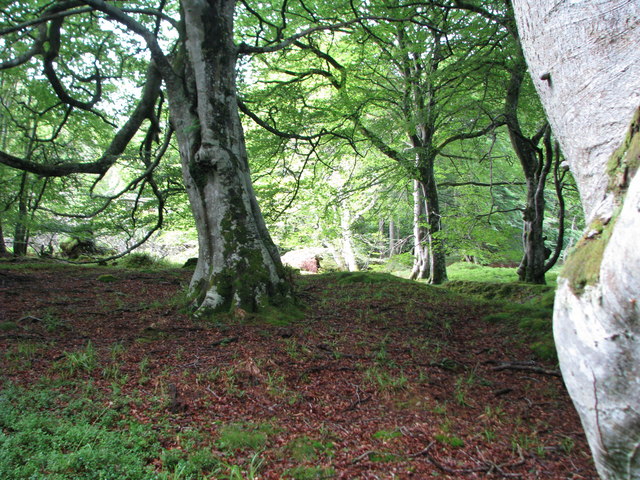
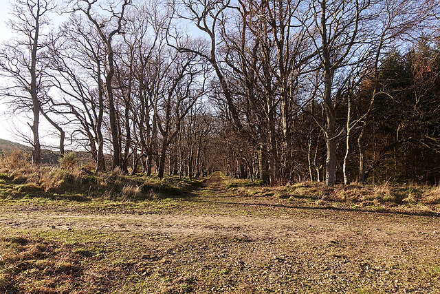
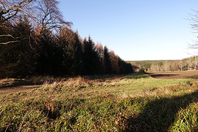
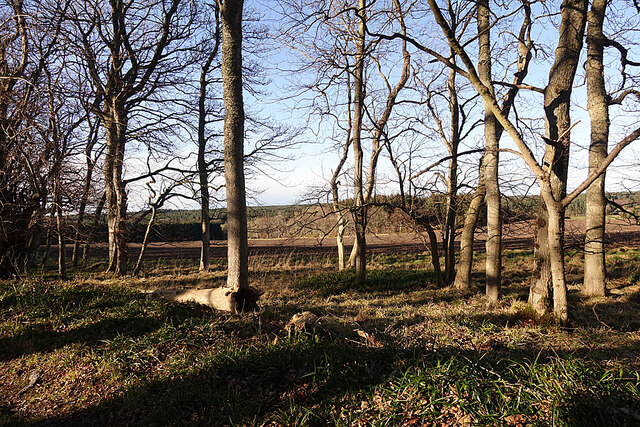
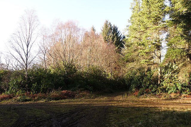
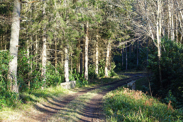
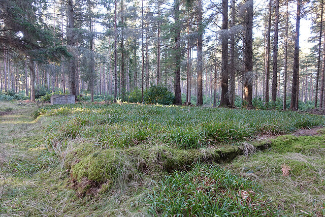
The plantation boasts a diverse range of flora and fauna, making it a significant ecological and conservation area. Towering trees, including oak, beech, and pine, dominate the landscape, creating a stunning canopy that offers shade and shelter to countless species of birds, mammals, and insects. The forest floor is adorned with a colorful array of wildflowers, ferns, and mosses, adding to the natural beauty of the area.

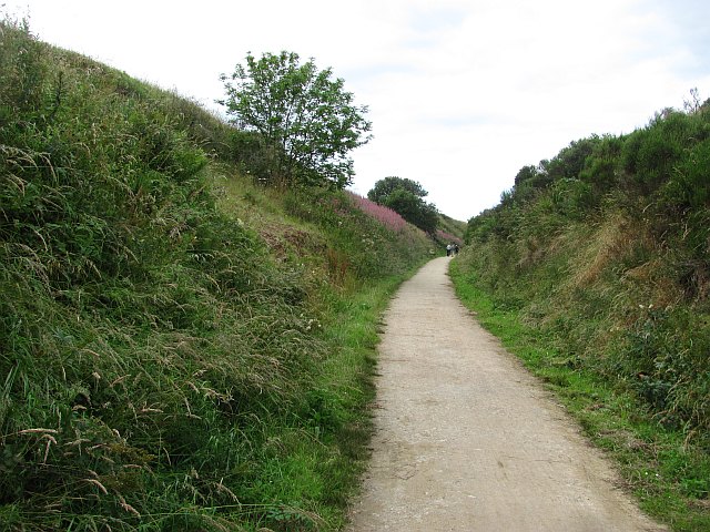
Visitors to Moss Hill Plantation can indulge in a variety of activities that showcase the splendor of the woodlands. Numerous walking trails meander through the forest, allowing visitors to immerse themselves in the peaceful ambiance and discover hidden gems along the way. The plantation also offers guided nature walks and educational programs for those interested in learning about the local flora and fauna.

In addition to its natural wonders, Moss Hill Plantation is home to a charming Victorian-style manor house that serves as a retreat for visitors seeking a more luxurious experience. The manor house offers comfortable accommodation with breathtaking views of the surrounding woodlands. The estate also features well-maintained gardens and picnic areas, providing visitors with the perfect spot to relax and enjoy the serenity of the plantation.

Moss Hill Plantation in Banffshire is a captivating destination that combines natural beauty, biodiversity, and a touch of luxury, making it a must-visit location for anyone seeking a rejuvenating experience amidst the wonders of nature.

If you have any feedback on the listing, please let us know in the comments section below.

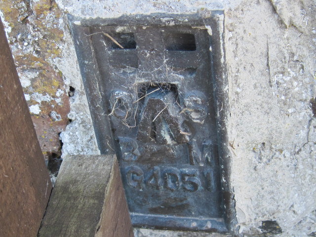
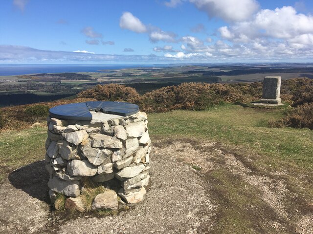
Moss Hill Plantation Images

Images are sourced within 2km of 57.678216/-2.8595198 or Grid Reference NJ4865. Thanks to Geograph Open Source API. All images are credited.

Beechwood on North East flank of the Bin of Cullen
Moray Coast Railway A cutting behind Cullen Links. The trackbed is now a path.
Moray Coast Railway
A cutting behind Cullen Links. The trackbed is now a path.
Triangulation pillar, Bin of Cullen One of the square profile types seen along the southern shore of the Moray Firth.
Triangulation pillar, Bin of Cullen
One of the square profile types seen along the southern shore of the Moray Firth.
Bin of Cullen A path up can be seen in the heather.
Bin of Cullen
A path up can be seen in the heather.
Ordnance Survey  Flush Bracket G4051 This can be found on a boundary wall at Cullen Bay Hotel.
For more detail see : <span class="nowrap"><a title="http://www.bench-marks.org.uk/bm16939" rel="nofollow ugc noopener" href="http://www.bench-marks.org.uk/bm16939">Link</a><img style="margin-left:2px;" alt="External link" title="External link - shift click to open in new window" src="https://s1.geograph.org.uk/img/external.png" width="10" height="10"/></span>
Ordnance Survey Flush Bracket G4051
This can be found on a boundary wall at Cullen Bay Hotel. For more detail see : LinkExternal link
Minor road near Bauds of Cullen
A98 Approaching the Cullen Bay Hotel
Summit of Bin of Cullen
Track Crossroads Looking west towards Rannas from the track crossroads near the site of Woodside Farm.
Track Crossroads
Looking west towards Rannas from the track crossroads near the site of Woodside Farm.
Set-aside Strip The wide grassy margin between the ploughed field and the estate road must surely be a strip of set-aside for the benefit of wildlife.
Set-aside Strip
The wide grassy margin between the ploughed field and the estate road must surely be a strip of set-aside for the benefit of wildlife.
Through the Trees The estate road here is flanked by a wide strip of trees. At the far side of the field is Gordon's Hillock.
Through the Trees
The estate road here is flanked by a wide strip of trees. At the far side of the field is Gordon's Hillock.
Woodside Lodge It would be more accurate to say that this crossroads is beside the site of Woodside Lodge, as everything around it is smothered in Rhododendron ponticum.
Woodside Lodge
It would be more accurate to say that this crossroads is beside the site of Woodside Lodge, as everything around it is smothered in Rhododendron ponticum.
Foulford Bridge Although it's named on the maps, it's a very modest bridge, carrying an estate road over the bottom of Chalmers Slack.
Foulford Bridge
Although it's named on the maps, it's a very modest bridge, carrying an estate road over the bottom of Chalmers Slack.
Old Reservoir We had noticed a building on the map, so went to see what it was. It turns out to be a reservoir, built in the second half of the 19th century as part of Cullen Water Works.
Old Reservoir
We had noticed a building on the map, so went to see what it was. It turns out to be a reservoir, built in the second half of the 19th century as part of Cullen Water Works.
Cullen House Home Farm The long range of stone buildings with square castellated central tower dates from 1816, and is a Category B Listed building. See <span class="nowrap"><a title="http://portal.historicenvironment.scot/designation/LB15518" rel="nofollow ugc noopener" href="http://portal.historicenvironment.scot/designation/LB15518">Link</a><img style="margin-left:2px;" alt="External link" title="External link - shift click to open in new window" src="https://s1.geograph.org.uk/img/external.png" width="10" height="10"/></span> for full details.
Cullen House Home Farm
The long range of stone buildings with square castellated central tower dates from 1816, and is a Category B Listed building. See LinkExternal link for full details.
Field at Cullen Home Farm Like many others on the estate, this field has a wide grassy margin left uncultivated for the benefit of wildlife.
Field at Cullen Home Farm
Like many others on the estate, this field has a wide grassy margin left uncultivated for the benefit of wildlife.
Show me another place!

Moss Hill Plantation is located at Grid Ref: NJ4865 (Lat: 57.678216, Lng: -2.8595198)

Unitary Authority: Moray

Police Authority: North East

What 3 Words

///denim.wizard.helpless. Near Portknockie, Moray

Related Wikis

Bin of Cullen

Bin of Cullen or Bin Hill (Scottish Gaelic: Am Binnean) is a hill in Moray, Scotland directly inland from Findochty. Bin of Cullen is 320 m in height and...
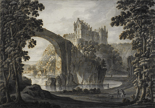
Cullen House

Cullen House is a large house, about 1 kilometre (0.6 mi) south-west of the coastal town of Cullen in Moray, Scotland. It was the seat of the Ogilvies...
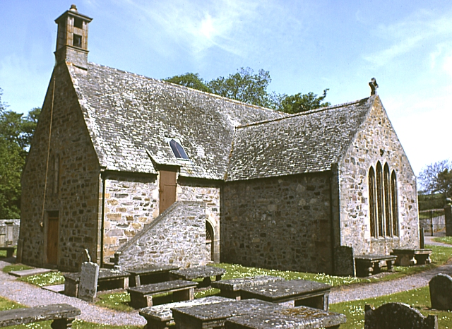
Cullen Old Church

Cullen Old Church (also known as Cullen Auld Kirk) is the parish church for Cullen and Deskford, in Moray. It was originally a part of the Roman Catholic...

Cullen Castle

Cullen Castle was a royal castle about 0.5 miles (0.80 km) west of Cullen, Moray, Scotland, west of the burn of Deskford, and south of Seatown. The remains...

Portknockie railway station

Portknockie railway station was a railway station that served the small fishing village of Portknockie, close to Cullen in Moray. The railway station was...

Portknockie

Portknockie (Scottish Gaelic: Port Chnocaidh, the hilly port) is a coastal village on the Moray Firth within Moray, Scotland. The village's name is written...

Cullen Town Hall

Cullen Town Hall is a municipal building in The Square, Cullen, Moray, Scotland. The structure, which is currently used as a heritage centre, is a Category...
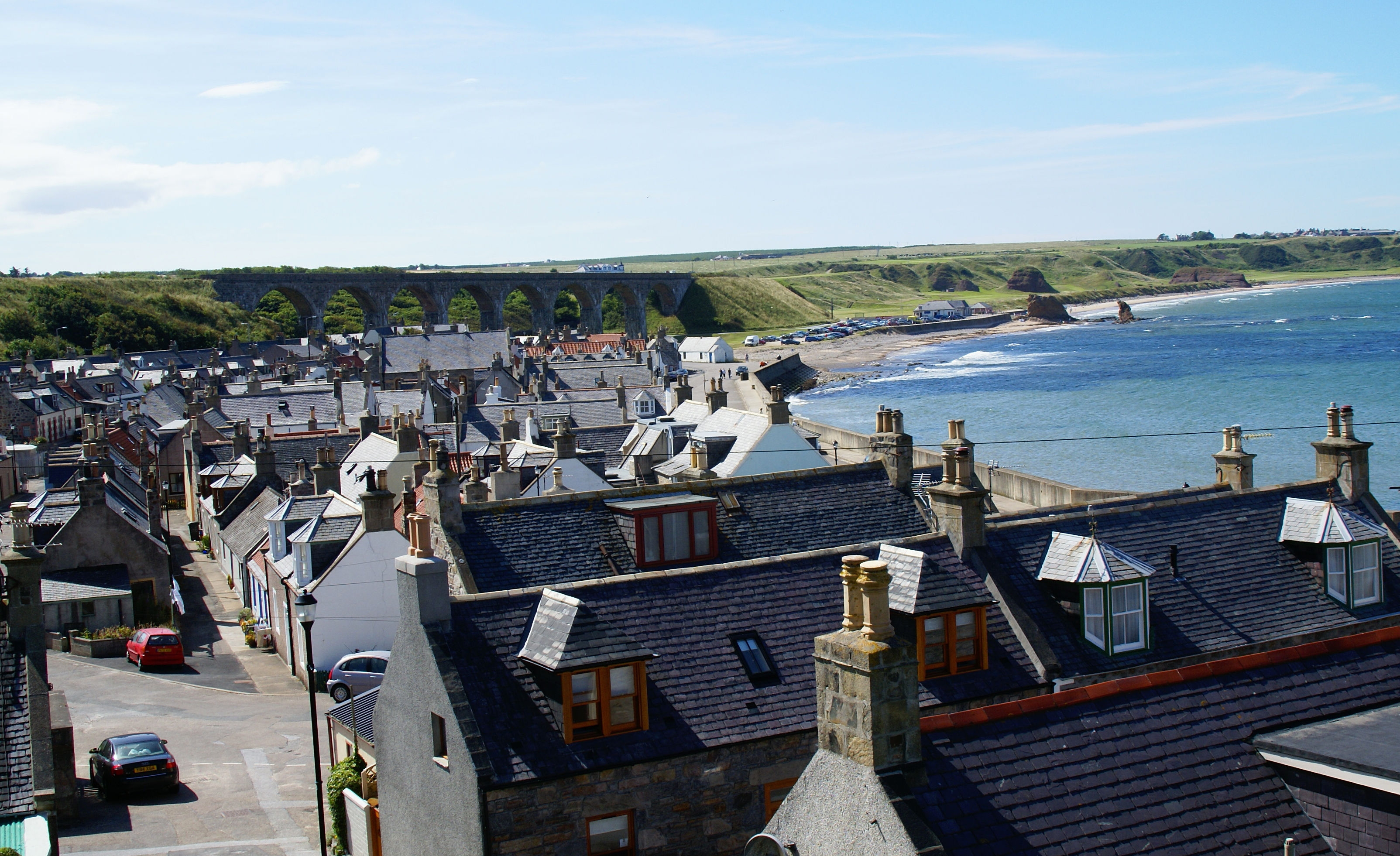
Cullen, Moray

Cullen (Scottish Gaelic: Inbhir Cuilinn) is a village and former royal burgh in Moray but historically in Banffshire, Scotland, on the North Sea coast...

Nearby Amenities

Located within 500m of 57.678216,-2.8595198
Power: pole
Lat/Long: 57.6802255/-2.8653851
Power: pole
Lat/Long: 57.680204/-2.8634995
Power: pole
Lat/Long: 57.6802069/-2.8616166
Power: pole
Lat/Long: 57.6801968/-2.8599241
Power: pole
Lat/Long: 57.6801968/-2.8582209
Power: pole
Lat/Long: 57.6801882/-2.8564802
Power: pole
Lat/Long: 57.6801882/-2.8547609
Power: pole
Lat/Long: 57.680432/-2.8531837
The data included in this document is from www.openstreetmap.org. The data is made available under ODbL.

Have you been to Moss Hill Plantation?

Leave your review of Moss Hill Plantation below (or comments, questions and feedback).