Wanters Knowe Wood
Wood, Forest in East Lothian
Scotland
Wanters Knowe Wood
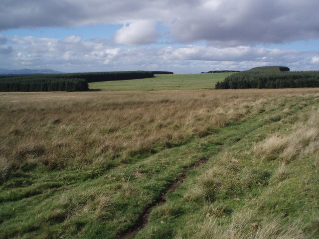
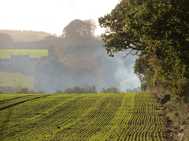
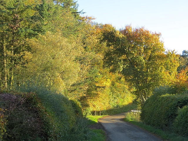
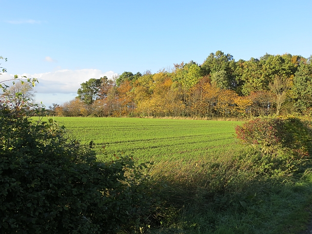
Wanters Knowe Wood is a picturesque forest located in East Lothian, Scotland. Spread over an area of about 50 hectares, this enchanting woodland is a popular destination for nature lovers and outdoor enthusiasts. The wood is situated near the village of Gifford, just a short distance from the scenic Lammermuir Hills.
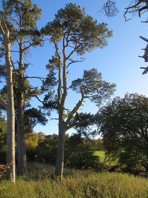
The wood is predominantly made up of native broadleaf trees, including oak, birch, and beech, which provide a rich habitat for a diverse range of flora and fauna. The forest floor is adorned with an array of wildflowers, making it a haven for butterflies and other insects. In spring, the wood comes alive with the vibrant colors of bluebells and primroses.
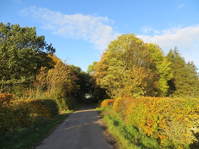
Several well-marked trails wind their way through the wood, offering visitors the opportunity to explore its natural beauty at their leisure. Whether it's a leisurely stroll or a more challenging hike, there is a trail suitable for all abilities. The paths are well-maintained and provide stunning views of the surrounding countryside.
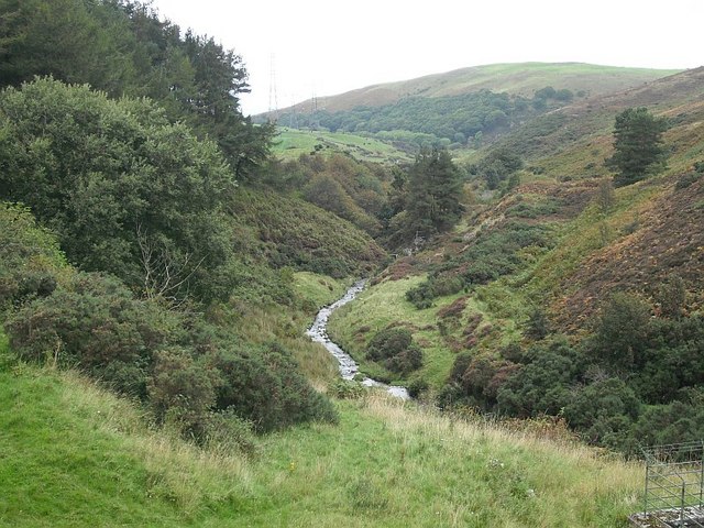
Wanters Knowe Wood is not only a peaceful retreat for humans but also a sanctuary for wildlife. The forest is home to a variety of bird species, including woodpeckers, tits, and owls. Deer can often be spotted grazing amidst the trees, adding to the magical atmosphere of the wood.
Overall, Wanters Knowe Wood is a tranquil and idyllic woodland that offers visitors a chance to connect with nature and experience the beauty of East Lothian's countryside.
If you have any feedback on the listing, please let us know in the comments section below.
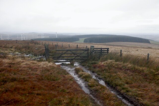
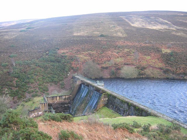
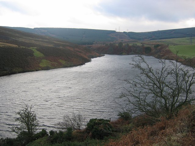
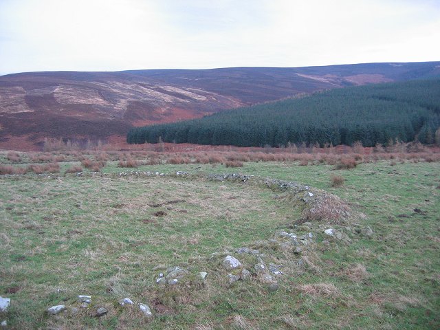
Wanters Knowe Wood Images
Images are sourced within 2km of 55.843649/-2.8245777 or Grid Reference NT4861. Thanks to Geograph Open Source API. All images are credited.


Wanters Knowe Wood is located at Grid Ref: NT4861 (Lat: 55.843649, Lng: -2.8245777)
Unitary Authority: East Lothian
Police Authority: The Lothians and Scottish Borders
What 3 Words
///bids.footballers.firelight. Near Pencaitland, East Lothian
Nearby Locations
Related Wikis

Humbie
Humbie is a hamlet and rural parish in East Lothian, Scotland lying in south-east of the county, approximately 10 miles (16 km) south-west of Haddington...
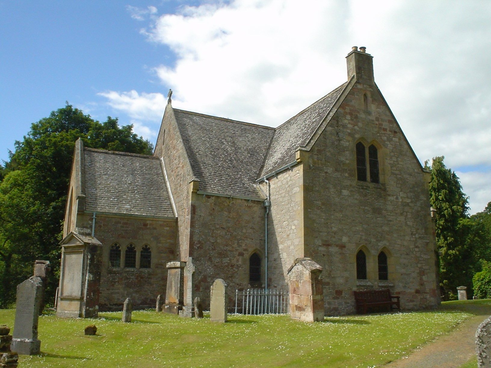
Humbie Parish Church
Humbie Parish Church is a church in the small village of Humbie, East Lothian, Scotland. It is part of the Church of Scotland, and is a linked charge which...

Humbie railway station
Humbie railway station served the civil parish of Humbie, East Lothian, Scotland, from 1901 to 1933 on the Macmerry Branch. == History == The station was...

Fala, Midlothian
Fala is a hamlet in the south-eastern corner of Midlothian, Scotland, and about 15 miles from Edinburgh. == Location == The parish of the same name is...

Soutra Aisle
Soutra Aisle, (the present structure lies just within the boundary of the Scottish Borders from Midlothian) not far from Fala, is the remains of the House...
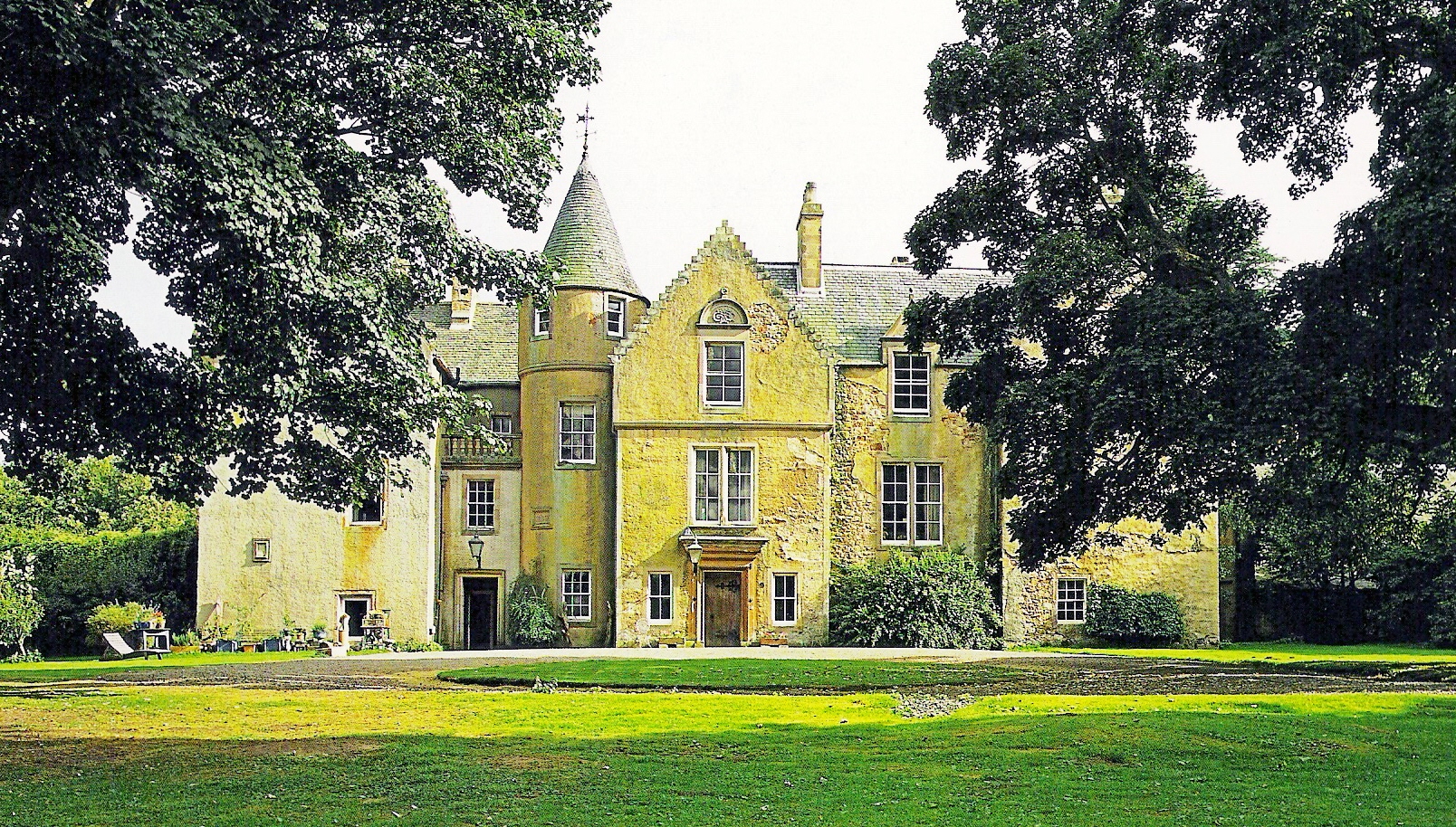
Keith Marischal
Keith Marischal is a Scottish Baronial Country house lying in the parish of Humbie, East Lothian, Scotland. The original building was an "L-shaped" Tower...

Lammermuir Hills
The Lammermuirs are a range of hills in southern Scotland, forming a natural boundary between East Lothian and the Borders. The name "Lammermuir" comes...

Saltoun railway station
Saltoun railway station served the villages of East Saltoun and West Saltoun in East Lothian, Scotland, from 1901 to 1933 on the Macmerry Branch. ��2...
Have you been to Wanters Knowe Wood?
Leave your review of Wanters Knowe Wood below (or comments, questions and feedback).