Blackwood
Wood, Forest in Angus
Scotland
Blackwood
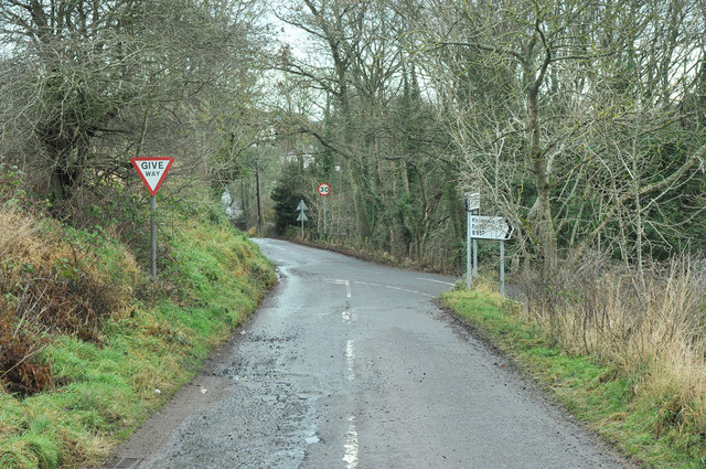
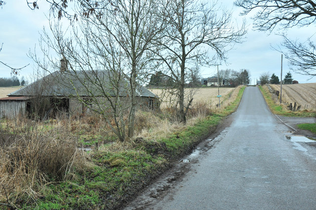
Blackwood, Angus, also known as Wood, Forest, is a small village located in the council area of Angus, Scotland. Situated near the town of Brechin, it is surrounded by picturesque countryside and lush forests, giving it its alternative name.
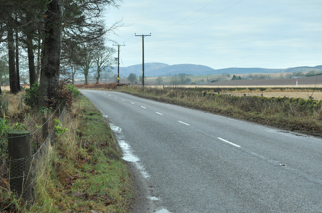
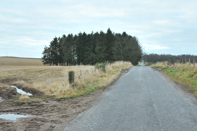
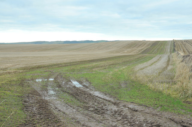
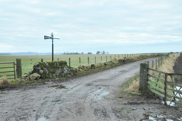
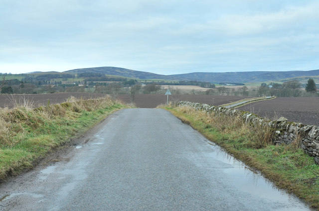
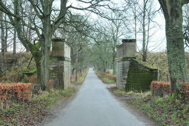
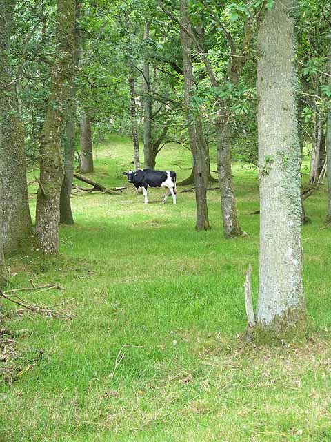
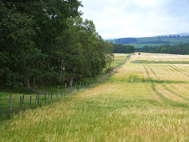
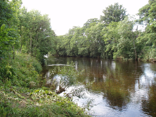
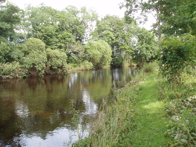
The village is known for its tranquil atmosphere and natural beauty, attracting visitors who seek a peaceful retreat away from the bustling city life. The woodlands surrounding Blackwood offer numerous opportunities for outdoor activities such as hiking, cycling, and birdwatching. The area is home to a diverse range of flora and fauna, making it a haven for nature enthusiasts.
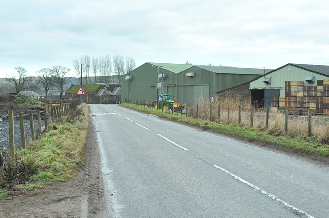
Blackwood itself is a close-knit community with a population of around 500 residents. The village is characterized by charming cottages and traditional stone houses, adding to its quaint and welcoming ambiance. It has a local pub, a small grocery store, and a primary school, providing essential amenities for its residents.
The village is well-connected to nearby towns and cities, with good transportation links. It is approximately 9 miles away from Brechin and 30 miles from Dundee, making it easily accessible for those looking to explore the wider region.
Overall, Blackwood, Angus (Wood, Forest) offers a peaceful and idyllic setting for residents and visitors alike, with its stunning natural surroundings and strong sense of community.
If you have any feedback on the listing, please let us know in the comments section below.
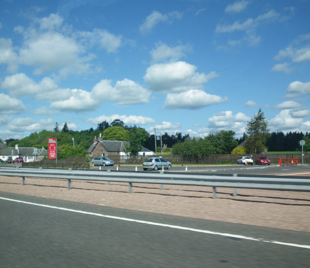
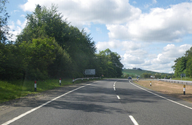
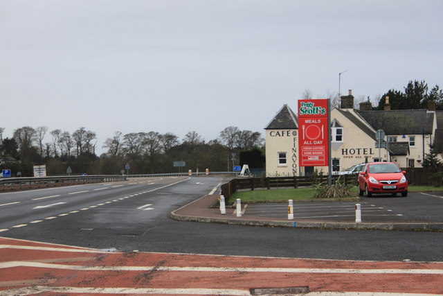
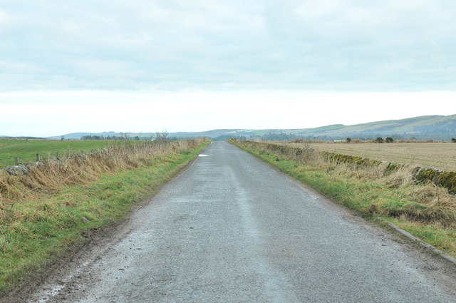
Blackwood Images
Images are sourced within 2km of 56.711333/-2.8430274 or Grid Reference NO4858. Thanks to Geograph Open Source API. All images are credited.
Blackwood is located at Grid Ref: NO4858 (Lat: 56.711333, Lng: -2.8430274)
Unitary Authority: Angus
Police Authority: Tayside
What 3 Words
///catchers.fresh.hampers. Near Forfar, Angus
Nearby Locations
Related Wikis

Tannadice railway station
Tannadice railway station served the village of Tannadice, Angus, Scotland, from 1895 to 1952 on the Forfar and Brechin Railway. == History == The station...

Tannadice, Angus
Tannadice is a village in Angus, Scotland that lies on the River South Esk and is 4 miles north of Forfar. The estate of Tannadice was formerly owned by...
Finavon
Finavon is a small settlement in Angus, Scotland. Its Ordnance Survey grid reference is NO4957. == References ==
Milton of Finavon
Milton of Finavon is a hamlet in Angus, Scotland that lies adjacent to the A90 road on its southern side by the River South Esk. It is approximately 5...
Finavon Castle
Finavon Castle lies on the River South Esk, about a quarter of a mile south of Milton of Finavon village and five miles to the north-east of Forfar in...

Oathlaw
Oathlaw is a village in Angus, Scotland, 4 miles north of Forfar. == References ==
Justinhaugh railway station
Justinhaugh railway station served the hamlet of Justinhaugh, Angus, Scotland, from 1895 to 1952 on the Forfar and Brechin Railway. == History == The station...

Noranside
Noranside is a hamlet in Angus, Scotland, located at 56° 44' 0" North, 2° 52' 0" West,. The prison HMP Noranside was operated there from 1966 to 2011....
Nearby Amenities
Located within 500m of 56.711333,-2.8430274Have you been to Blackwood?
Leave your review of Blackwood below (or comments, questions and feedback).