Old Whitlaw Plantation

Wood, Forest in Berwickshire

Scotland

Old Whitlaw Plantation

Path, Girthgate The ridge is the line of an old pilgrimage route from Soutra Aisle to Melrose Abbey.
Path, Girthgate Credit: Richard Webb

Old Whitlaw Plantation is a historic woodland area located in Berwickshire, Scotland. Situated near the village of Paxton, the plantation covers an extensive area of lush greenery, encompassing both woodlands and forests. The site holds a significant historical value and is known for its natural beauty.

The plantation dates back several centuries and was originally established as a timber resource for the surrounding area. Its rich history is evident in the mature trees that now populate the area, including a mix of broadleaf and coniferous species. The diverse range of tree species provides a thriving habitat for various wildlife, making it a popular spot for nature enthusiasts and birdwatchers.

The Old Whitlaw Plantation offers visitors a tranquil environment to explore. Walking trails wind through the woods, allowing visitors to immerse themselves in the serene surroundings. The forest floor is covered in a tapestry of wildflowers and ferns, adding to the picturesque scenery.

The plantation is also home to an abundance of wildlife, including deer, badgers, and various bird species. Rare sightings of red squirrels have been reported in the area, making it an attractive destination for wildlife photographers.

In addition to its natural splendor, the Old Whitlaw Plantation offers recreational opportunities for outdoor activities such as hiking, picnicking, and nature walks. The site is well-maintained, with clear signage and designated paths to ensure visitors can navigate the area safely.

Overall, Old Whitlaw Plantation is a treasured destination in Berwickshire, offering a harmonious blend of history, nature, and outdoor leisure activities. Whether one seeks a peaceful stroll amidst majestic trees or an opportunity to observe the local wildlife, this plantation provides a memorable experience for all who visit.

If you have any feedback on the listing, please let us know in the comments section below.

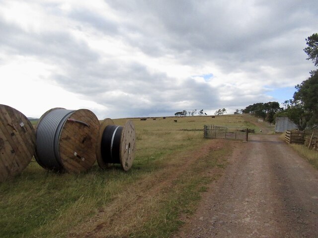
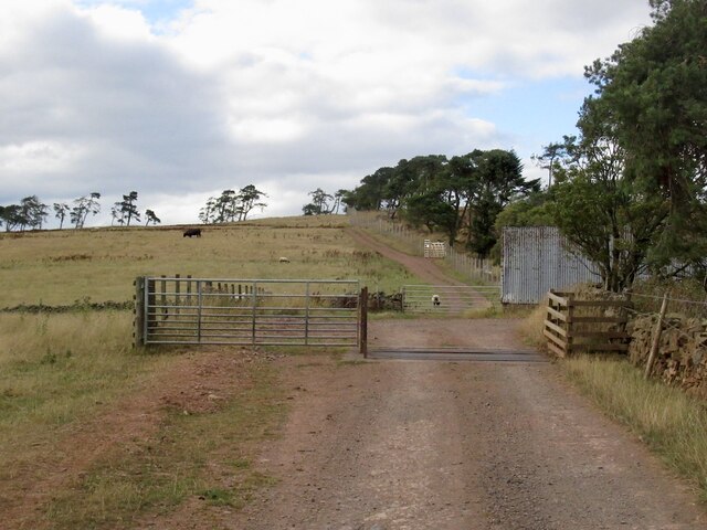
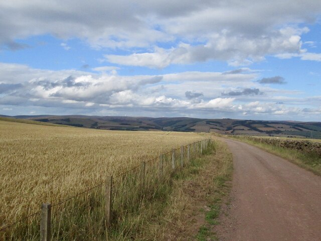
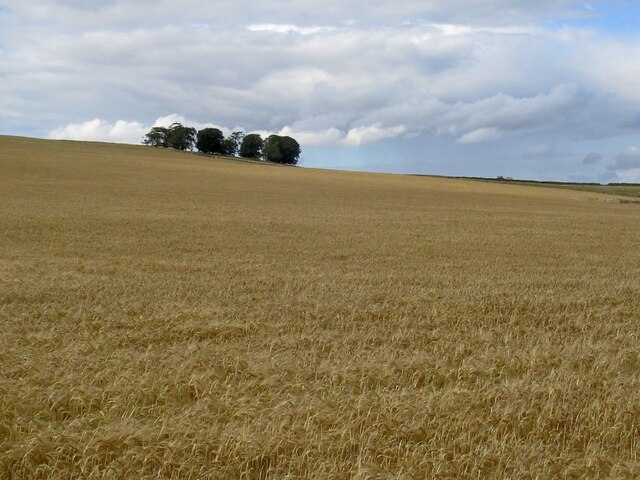
Old Whitlaw Plantation Images

Images are sourced within 2km of 55.727683/-2.8167017 or Grid Reference NT4848. Thanks to Geograph Open Source API. All images are credited.

Path, Girthgate The ridge is the line of an old pilgrimage route from Soutra Aisle to Melrose Abbey.
Path, Girthgate
The ridge is the line of an old pilgrimage route from Soutra Aisle to Melrose Abbey.
Girthgate The ridge is the line of an old pilgrimage route from Soutra Aisle to Melrose Abbey.
Girthgate
The ridge is the line of an old pilgrimage route from Soutra Aisle to Melrose Abbey.
New road, Cathpair The grassy path is the Girthgate which was unobstructed, unlike the new road over the dyke which had at least one pair of locked gates. The Girthgate, an old pilgrimage road is a very fine trip, especially in dry conditions.
New road, Cathpair
The grassy path is the Girthgate which was unobstructed, unlike the new road over the dyke which had at least one pair of locked gates. The Girthgate, an old pilgrimage road is a very fine trip, especially in dry conditions.
Cattle on the Girthgate
New road, Cathpair View over the dyke from the Girthgate of a very new road.
New road, Cathpair
View over the dyke from the Girthgate of a very new road.
Path on Scroof Hill A braiding in the Girthgate route.
Path on Scroof Hill
A braiding in the Girthgate route.
Scroof Hill With a new road. There has been a big expansion of the woodland here (west, Midlothian, side of the dyke). The eastern, Berwickshire side was still farmland, grazed by cattle.
Scroof Hill
With a new road. There has been a big expansion of the woodland here (west, Midlothian, side of the dyke). The eastern, Berwickshire side was still farmland, grazed by cattle.
Path on Scroof Hill Still farmed east of the dyke but over the wall there has been an expansion of woodland.
Path on Scroof Hill
Still farmed east of the dyke but over the wall there has been an expansion of woodland.
Rough grazing, Scroof Hill On the Girthgate.
Rough grazing, Scroof Hill
On the Girthgate.
The Girthgate The old pilgrimage road runs through a plantation with the help of a wide ride.
The Girthgate
The old pilgrimage road runs through a plantation with the help of a wide ride.
Signpost, Girthgate A few years on from <a href="https://www.geograph.org.uk/photo/1913604">NT4848 : Footpath sign, Inchkeith</a>
Signpost, Girthgate
A few years on from NT4848 : Footpath sign, Inchkeith
The Girthgate, Inchkeith
Belties, Inchkeith Belted Galloway cow and calves beside the Girthgate.
Belties, Inchkeith
Belted Galloway cow and calves beside the Girthgate.
Girthgate, Inchkeith The access road to the farm at Inchkeith.
Girthgate, Inchkeith
The access road to the farm at Inchkeith.
Girthgate, above Bowerhouse With some cable drums. This is the access road to Inchkeith.
Girthgate, above Bowerhouse
With some cable drums. This is the access road to Inchkeith.
Girthgate, above Bowerhouse The road from Inchkeith turns sharp right here for the descent from the ridge.
Girthgate, above Bowerhouse
The road from Inchkeith turns sharp right here for the descent from the ridge.
The Inchkeith road Descending to Bowerhouse.
The Inchkeith road
Descending to Bowerhouse.
Barley on Collie Law
Show me another place!

Old Whitlaw Plantation is located at Grid Ref: NT4848 (Lat: 55.727683, Lng: -2.8167017)

Unitary Authority: The Scottish Borders

Police Authority: The Lothians and Scottish Borders

What 3 Words

///firework.flicked.reclined. Near Lauder, Scottish Borders

Related Wikis

Lauder railway station

Lauder railway station served the town of Lauder, Berwickshire, Scotland, from 1901 to 1958. It was situated on the Lauder Light Railway. == History... ==

Lauderdale

Lauderdale is the valley of the Leader Water (a tributary of the Tweed) in the Scottish Borders. It contains the town of Lauder, as well as Earlston. The...

Lauder

The former Royal Burgh of Lauder (, Scottish Gaelic: Labhdar) is a town in the Scottish Borders in the historic county of Berwickshire. On the Southern...

Lauder Town Hall

Lauder Town Hall is a municipal structure in the Market Place in Lauder, Scottish Borders, Scotland. The structure, which is used as the local registrar...

Nearby Amenities

Located within 500m of 55.727683,-2.8167017
The data included in this document is from www.openstreetmap.org. The data is made available under ODbL.

Have you been to Old Whitlaw Plantation?

Leave your review of Old Whitlaw Plantation below (or comments, questions and feedback).