Heather Wood

Wood, Forest in Roxburghshire

Scotland

Heather Wood

A valley of peace in Roxburghshire Near Skelfhill and Priesthaugh.
A valley of peace in Roxburghshire Credit: James Denham

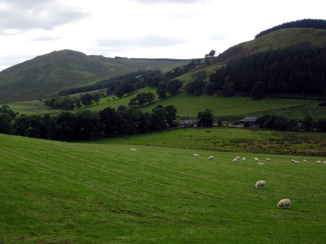
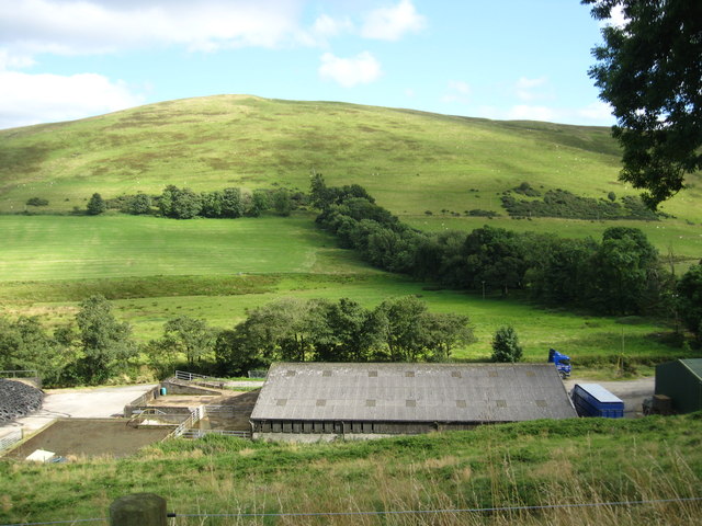
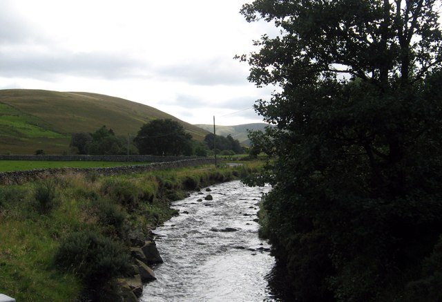
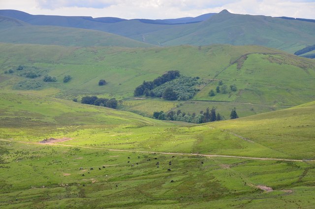
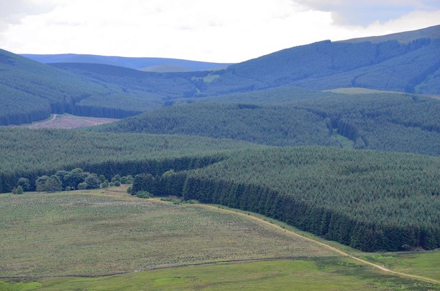
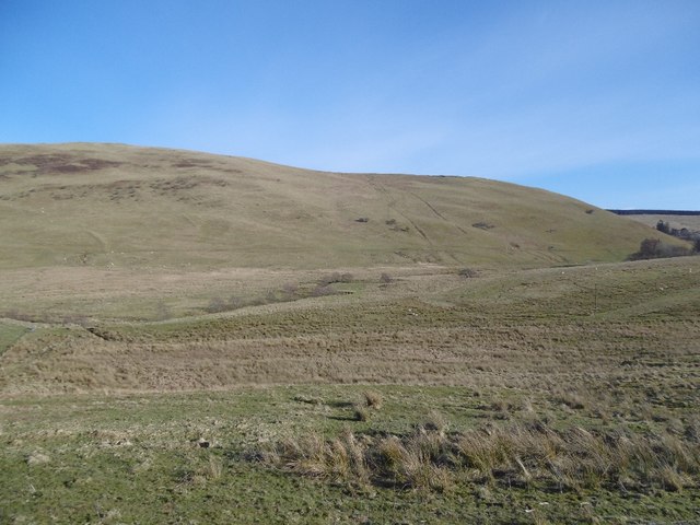
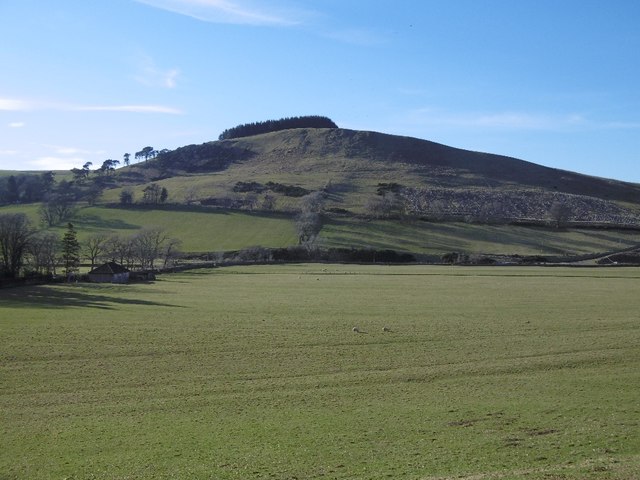
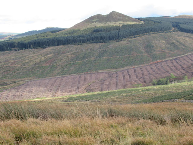
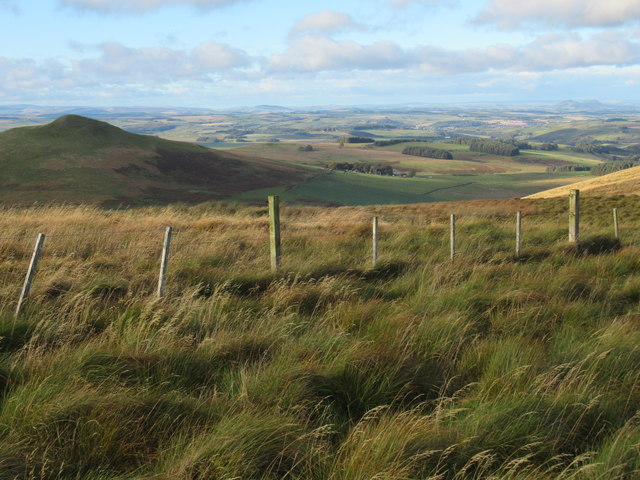
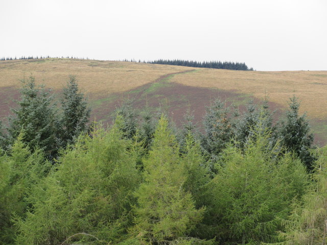
Heather Wood is a scenic forest located in Roxburghshire, a historic county in the Scottish Borders region of Scotland. Spread over an area of approximately 500 acres, the wood is known for its natural beauty and diverse flora and fauna.

The forest is predominantly made up of heather, a flowering plant that gives the wood its name. The vibrant purple hues of the heather create a stunning visual spectacle, especially during the blooming season in late summer. In addition to heather, the woodland is also home to a variety of other plant species, including birch, oak, and rowan trees, which add to the overall charm of the area.

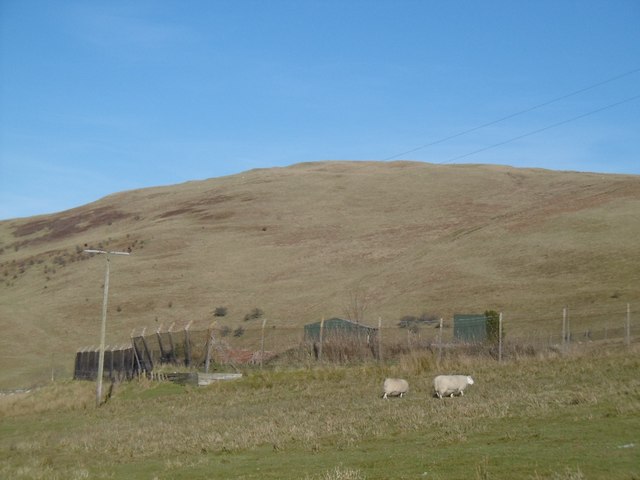
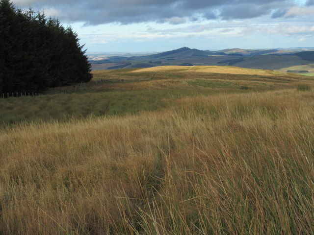
Heather Wood is a haven for wildlife enthusiasts, as it provides a habitat for numerous animal species. Visitors may spot red squirrels, badgers, and various bird species, including buzzards and woodpeckers, among others. The forest also houses a diverse range of insects, making it a fascinating destination for entomologists.

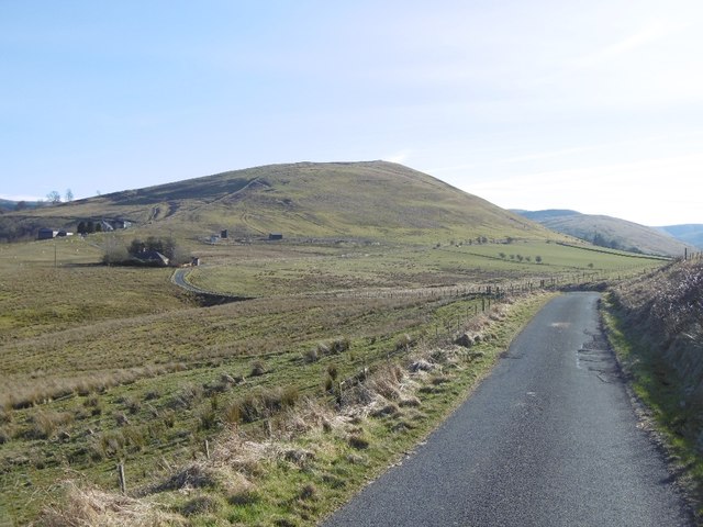
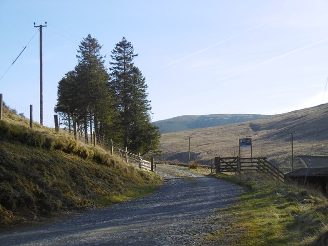
The wood offers several walking trails that allow visitors to explore its natural wonders at their own pace. These paths wind through the forest, offering breathtaking views and opportunities to observe the local wildlife. Additionally, the wood is dotted with picnic areas, providing a perfect spot for visitors to relax and enjoy a meal amidst nature.

Heather Wood, Roxburghshire, is a must-visit destination for nature enthusiasts, offering a serene and picturesque environment that showcases the beauty of the Scottish countryside.

If you have any feedback on the listing, please let us know in the comments section below.
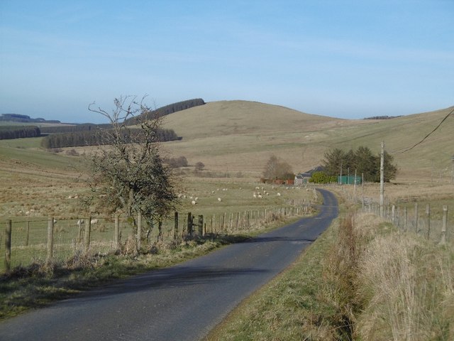
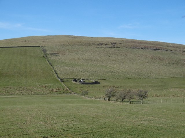
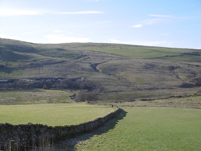
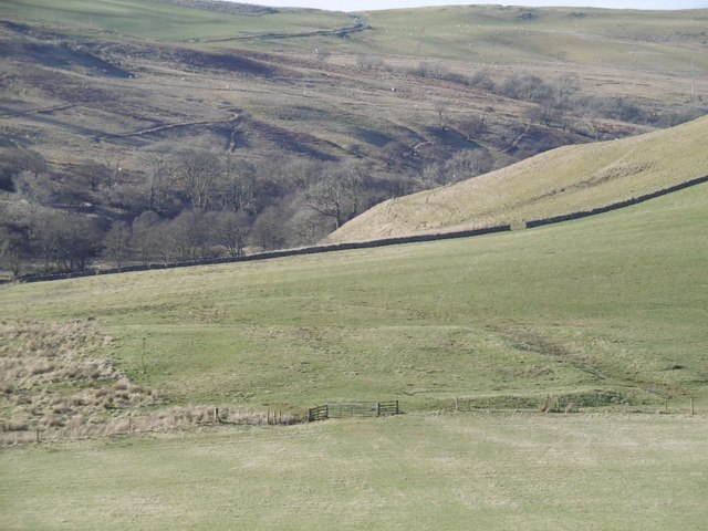
Heather Wood Images

Images are sourced within 2km of 55.332609/-2.8247746 or Grid Reference NT4704. Thanks to Geograph Open Source API. All images are credited.

A valley of peace in Roxburghshire Near Skelfhill and Priesthaugh.
A valley of peace in Roxburghshire
Near Skelfhill and Priesthaugh.
Looking over industrial buildings to the beautiful hills beyond North of Priesthaugh. To the right of the buildings (out of shot) is a lovely private home which was formerly the Allan Water school.
Looking over industrial buildings to the beautiful hills beyond
North of Priesthaugh. To the right of the buildings (out of shot) is a lovely private home which was formerly the Allan Water school.
The Dod Burn Near Skelfhill Farm in Roxburghshire.
The Dod Burn
Near Skelfhill Farm in Roxburghshire.
Southwest from Penchrise Pen Looking across the broad ridge crossed by the track heading for the forest plantations at Hawk Hass to the peak of Skelfhill Pen (532m), another of the several prominent summits of resistant igneous rocks dating from the early Carboniferous period. On the intermediate ridge in the centre is Brae Plantation.
Southwest from Penchrise Pen
Looking across the broad ridge crossed by the track heading for the forest plantations at Hawk Hass to the peak of Skelfhill Pen (532m), another of the several prominent summits of resistant igneous rocks dating from the early Carboniferous period. On the intermediate ridge in the centre is Brae Plantation.
Forestry around Peelbraehope This view from the summit of Penchrise Pen shows just a small part of the forestry plantations in this area. Left of centre is the clearing at Peelbraehope (see <a href="https://www.geograph.org.uk/photo/671029">NT4804 : Peelbraehope</a>) with the track from Barns to Hawkhass coming in from the lower right.
Forestry around Peelbraehope
This view from the summit of Penchrise Pen shows just a small part of the forestry plantations in this area. Left of centre is the clearing at Peelbraehope (see NT4804 : Peelbraehope) with the track from Barns to Hawkhass coming in from the lower right.
The road through Dodburn Hills upstream of Hawick.
The road through Dodburn
Hills upstream of Hawick.
Rough grazing, Dodburn
Dodburn Filter Disused looking waterworks.
Dodburn Filter
Disused looking waterworks.
Yellow road, Dodburn Passing Filter Beds Cottage.
Yellow road, Dodburn
Passing Filter Beds Cottage.
Stell, Dodburn Classic Borders sheepfold.
Stell, Dodburn
Classic Borders sheepfold.
Dyke, Priesthaugh Looking down to the Allan Water.
Dyke, Priesthaugh
Looking down to the Allan Water.
Settlement, Priesthaugh Earthworks beside the Allan Water.
Settlement, Priesthaugh
Earthworks beside the Allan Water.
Priesthaugh Field at the head of the Allan Water.
Priesthaugh
Field at the head of the Allan Water.
Logging road exit, Priesthaugh
View north-east from The Pike  near Hawick Nine years on and the weather is the only thing that has changed - for the better I hasten to add! Ruberslaw in mid shot on the far side of which is a wild-camping facility.
View north-east from The Pike near Hawick
Nine years on and the weather is the only thing that has changed - for the better I hasten to add! Ruberslaw in mid shot on the far side of which is a wild-camping facility.
Recent view of forest edge north of Maiden Paps near Hawick Recent clearfell and not so obvious close by, re-planted clearfell.
Recent view of forest edge north of Maiden Paps near Hawick
Recent clearfell and not so obvious close by, re-planted clearfell.
View north off Stirkcleugh Height near Hawick The Eildons in view distantly top right.
View north off Stirkcleugh Height near Hawick
The Eildons in view distantly top right.
Catrail on The Pike near Hawick
Show me another place!

Heather Wood is located at Grid Ref: NT4704 (Lat: 55.332609, Lng: -2.8247746)

Unitary Authority: The Scottish Borders

Police Authority: The Lothians and Scottish Borders

What 3 Words

///scavenger.junction.customers. Near Teviothead, Scottish Borders

Related Wikis

Maiden Paps (Hawick)

The Maiden Paps are twin hills near Hawick, in the Scottish Borders of the south east of Scotland, so named because they have the shape of human breasts...

Cauldcleuch Head

Cauldcleuch Head is a hill in an unnamed range of Roxburghshire hills north of Langholm, part of the Southern Uplands of Scotland. The highest hill in...

Shankend

Shankend Manor was a sixteenth-century mansion located some six miles (ten kilometres) south of Hawick, close to Whitrope Siding in Scotland. It was constructed...

Shankend railway station

Shankend railway station served the hamlet of Shankend, Scottish Borders, Scotland from 1862 to 1969 on the Border Union Railway. == History == The station...

Nearby Amenities

Located within 500m of 55.332609,-2.8247746
Ford: yes
Lat/Long: 55.335204/-2.8257012
The data included in this document is from www.openstreetmap.org. The data is made available under ODbL.

Have you been to Heather Wood?

Leave your review of Heather Wood below (or comments, questions and feedback).