Young Wood

Wood, Forest in Roxburghshire

Scotland

Young Wood

A valley of peace in Roxburghshire Near Skelfhill and Priesthaugh.
A valley of peace in Roxburghshire Credit: James Denham

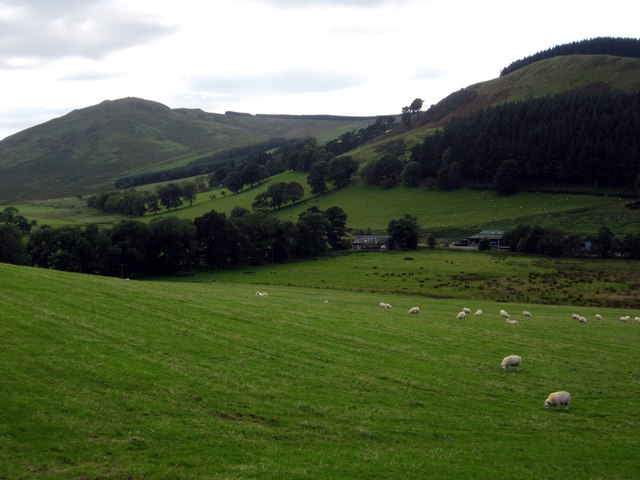
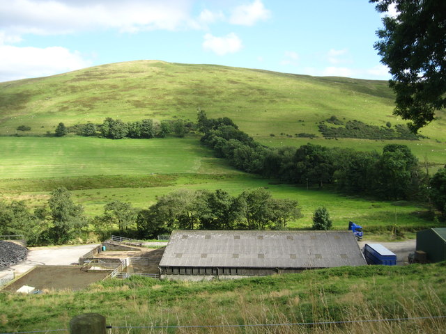
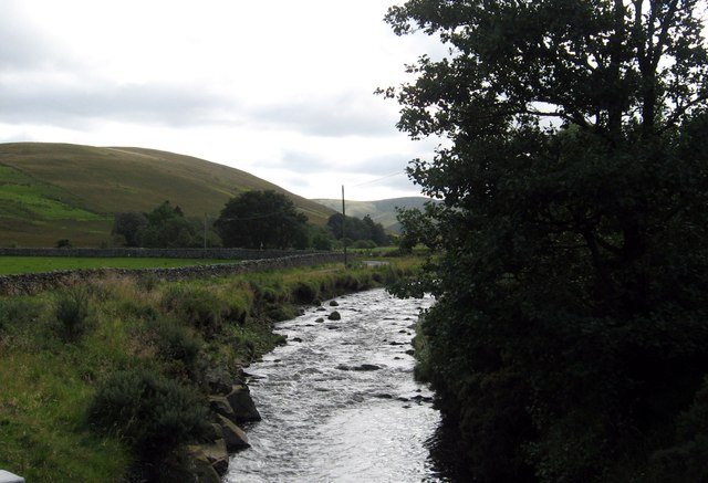
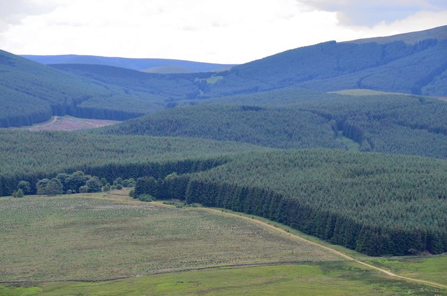
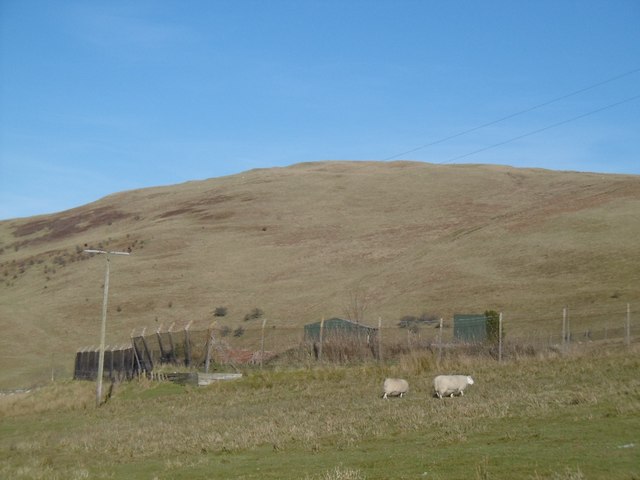
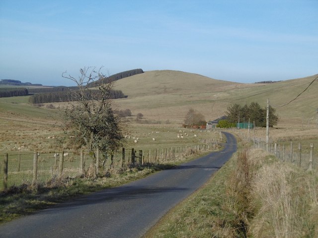
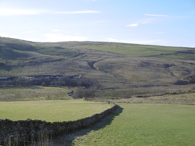
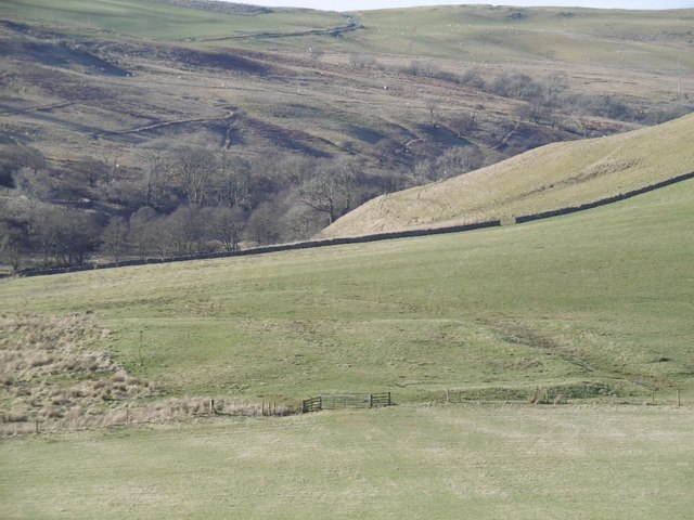
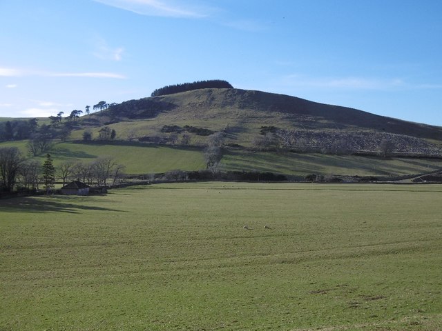
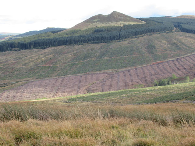
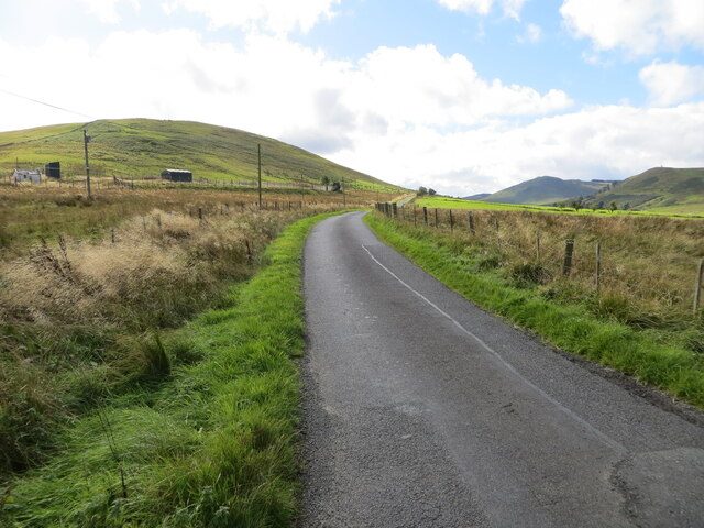
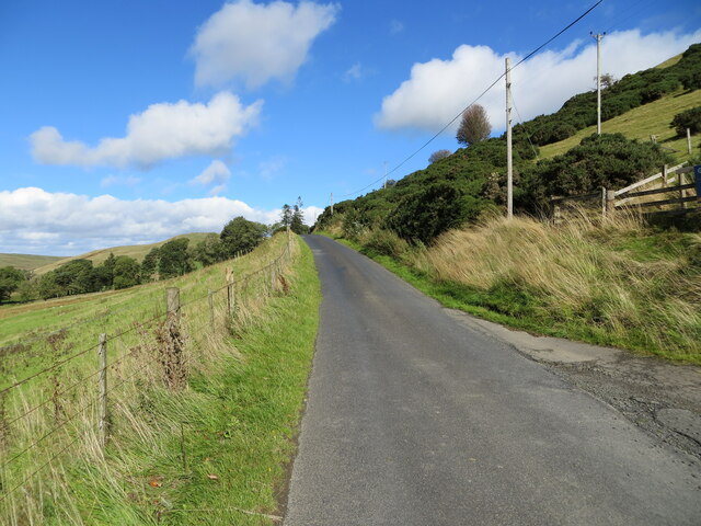
Young Wood is a picturesque forest located in Roxburghshire, Scotland. Covering an area of approximately 50 acres, it is a popular destination for nature lovers and outdoor enthusiasts. The wood is nestled in the scenic countryside, offering stunning views of rolling hills, lush meadows, and the nearby River Teviot.

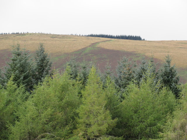
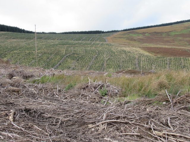
The forest is predominantly composed of native tree species, such as oak, birch, and beech. These trees provide a dense canopy, creating a tranquil and serene atmosphere within the wood. The forest floor is covered with a rich carpet of mosses, ferns, and wildflowers, adding to its natural beauty.

Young Wood is home to a diverse range of wildlife, making it a haven for animal lovers and birdwatchers. Visitors may catch glimpses of red squirrels, deer, and a variety of bird species, including woodpeckers and owls. The wood also features several well-maintained walking trails, allowing visitors to explore its hidden treasures while immersing themselves in nature.

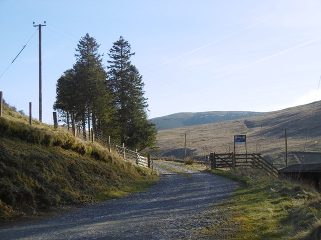
The forest is easily accessible, with ample parking facilities available for visitors. It is a popular spot for family outings, picnics, and leisurely walks. Additionally, there are designated picnic areas and benches scattered throughout the wood, providing visitors with the perfect opportunity to relax and enjoy the peaceful surroundings.

Young Wood is not only a scenic retreat but also plays a crucial role in preserving the biodiversity of the region. It serves as an important habitat for numerous plant and animal species, contributing to the overall ecological balance of the area.

If you have any feedback on the listing, please let us know in the comments section below.

Young Wood Images

Images are sourced within 2km of 55.328004/-2.8266964 or Grid Reference NT4704. Thanks to Geograph Open Source API. All images are credited.

A valley of peace in Roxburghshire Near Skelfhill and Priesthaugh.
A valley of peace in Roxburghshire
Near Skelfhill and Priesthaugh.
Looking over industrial buildings to the beautiful hills beyond North of Priesthaugh. To the right of the buildings (out of shot) is a lovely private home which was formerly the Allan Water school.
Looking over industrial buildings to the beautiful hills beyond
North of Priesthaugh. To the right of the buildings (out of shot) is a lovely private home which was formerly the Allan Water school.
The Dod Burn Near Skelfhill Farm in Roxburghshire.
The Dod Burn
Near Skelfhill Farm in Roxburghshire.
Southwest from Penchrise Pen Looking across the broad ridge crossed by the track heading for the forest plantations at Hawk Hass to the peak of Skelfhill Pen (532m), another of the several prominent summits of resistant igneous rocks dating from the early Carboniferous period. On the intermediate ridge in the centre is Brae Plantation.
Southwest from Penchrise Pen
Looking across the broad ridge crossed by the track heading for the forest plantations at Hawk Hass to the peak of Skelfhill Pen (532m), another of the several prominent summits of resistant igneous rocks dating from the early Carboniferous period. On the intermediate ridge in the centre is Brae Plantation.
Forestry around Peelbraehope This view from the summit of Penchrise Pen shows just a small part of the forestry plantations in this area. Left of centre is the clearing at Peelbraehope (see <a href="https://www.geograph.org.uk/photo/671029">NT4804 : Peelbraehope</a>) with the track from Barns to Hawkhass coming in from the lower right.
Forestry around Peelbraehope
This view from the summit of Penchrise Pen shows just a small part of the forestry plantations in this area. Left of centre is the clearing at Peelbraehope (see NT4804 : Peelbraehope) with the track from Barns to Hawkhass coming in from the lower right.
Dodburn Filter Disused looking waterworks.
Dodburn Filter
Disused looking waterworks.
Yellow road, Dodburn Passing Filter Beds Cottage.
Yellow road, Dodburn
Passing Filter Beds Cottage.
Stell, Dodburn Classic Borders sheepfold.
Stell, Dodburn
Classic Borders sheepfold.
Dyke, Priesthaugh Looking down to the Allan Water.
Dyke, Priesthaugh
Looking down to the Allan Water.
Settlement, Priesthaugh Earthworks beside the Allan Water.
Settlement, Priesthaugh
Earthworks beside the Allan Water.
Priesthaugh Field at the head of the Allan Water.
Priesthaugh
Field at the head of the Allan Water.
Logging road exit, Priesthaugh
Recent view of forest edge north of Maiden Paps near Hawick Recent clearfell and not so obvious close by, re-planted clearfell.
Recent view of forest edge north of Maiden Paps near Hawick
Recent clearfell and not so obvious close by, re-planted clearfell.
Catrail on The Pike near Hawick
Clearfell and re-planting near The Pike south of Hawick
Untouched wee neuk amid commercial forestry south of Hawick A passing light shower created a filter - largely unwanted!
Untouched wee neuk amid commercial forestry south of Hawick
A passing light shower created a filter - largely unwanted!
Minor road near to Dodburn Filter Looking south-westward.
Minor road near to Dodburn Filter
Looking south-westward.
Minor road near to Priesthaugh Looking north-eastward.
Minor road near to Priesthaugh
Looking north-eastward.
Show me another place!

Young Wood is located at Grid Ref: NT4704 (Lat: 55.328004, Lng: -2.8266964)

Unitary Authority: The Scottish Borders

Police Authority: The Lothians and Scottish Borders

What 3 Words

///saunas.assembles.living. Near Teviothead, Scottish Borders

Related Wikis

Maiden Paps (Hawick)

The Maiden Paps are twin hills near Hawick, in the Scottish Borders of the south east of Scotland, so named because they have the shape of human breasts...

Cauldcleuch Head

Cauldcleuch Head is a hill in an unnamed range of Roxburghshire hills north of Langholm, part of the Southern Uplands of Scotland. The highest hill in...

Shankend

Shankend Manor was a sixteenth-century mansion located some six miles (ten kilometres) south of Hawick, close to Whitrope Siding in Scotland. It was constructed...

Shankend railway station

Shankend railway station served the hamlet of Shankend, Scottish Borders, Scotland from 1862 to 1969 on the Border Union Railway. == History == The station...

Nearby Amenities

Located within 500m of 55.328004,-2.8266964
Muckle Knowe
Ele: 396
Natural: peak
Lat/Long: 55.3270024/-2.8317742
Man Made: cairn
Lat/Long: 55.3260216/-2.8321889
The data included in this document is from www.openstreetmap.org. The data is made available under ODbL.

Have you been to Young Wood?

Leave your review of Young Wood below (or comments, questions and feedback).