Airhouse Wood
Wood, Forest in Berwickshire
Scotland
Airhouse Wood
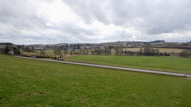
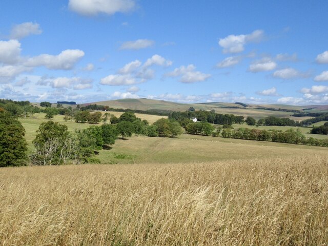
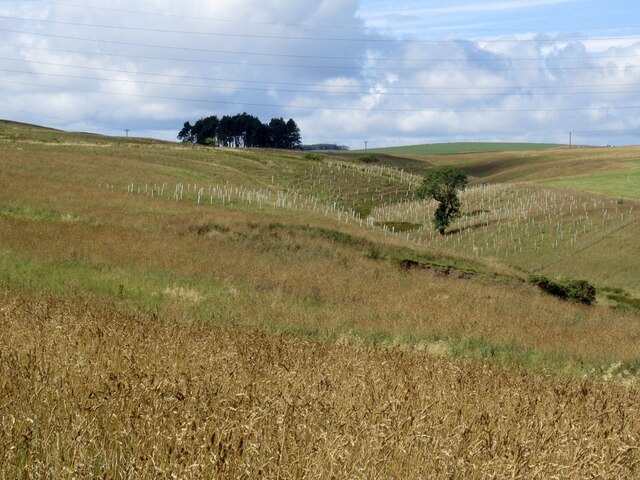
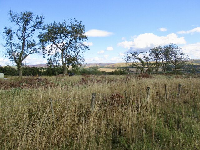
Airhouse Wood is a picturesque forest located in Berwickshire, Scotland. Covering an area of approximately 100 acres, this woodland is renowned for its natural beauty and diverse ecosystem. The wood is situated near the village of Grantshouse, around 10 miles south of Dunbar.
The woodland is predominantly made up of native broadleaf trees, including oak, beech, and birch. These majestic trees create a stunning canopy that provides shade and shelter to a wide variety of flora and fauna. The forest floor is adorned with a carpet of bluebells in the spring, creating a vibrant and enchanting atmosphere.
Airhouse Wood is a haven for wildlife enthusiasts, offering a chance to observe a range of animals in their natural habitat. Roe deer can often be spotted grazing peacefully among the trees, while red squirrels scurry through the branches, collecting nuts and acorns. The wood is also home to a multitude of bird species, including woodpeckers, owls, and various songbirds.
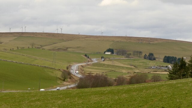
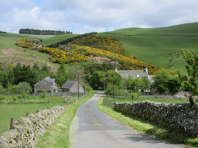
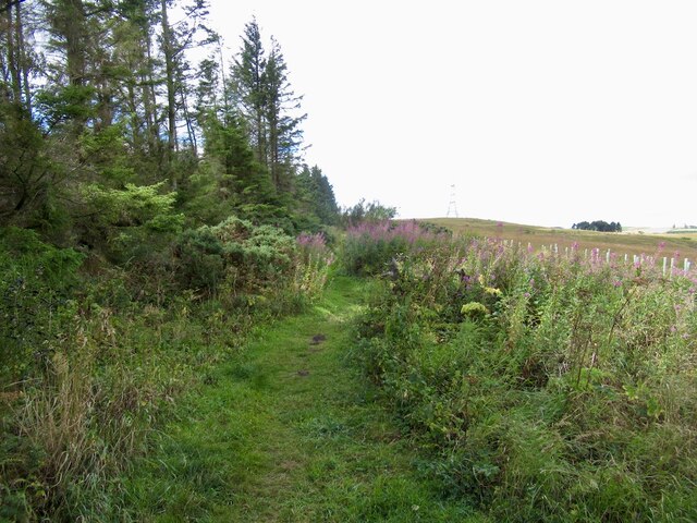
Visitors to Airhouse Wood can explore the forest through a network of well-maintained trails, which offer breathtaking views of the surrounding countryside. The wood is particularly popular among hikers and nature lovers, who can immerse themselves in the tranquil atmosphere and enjoy the melodic sounds of the forest.
Overall, Airhouse Wood is a captivating and serene woodland that offers a delightful escape into nature. With its rich biodiversity and scenic trails, it is a perfect destination for those seeking solace and a deeper connection with the natural world.
If you have any feedback on the listing, please let us know in the comments section below.
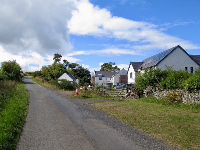
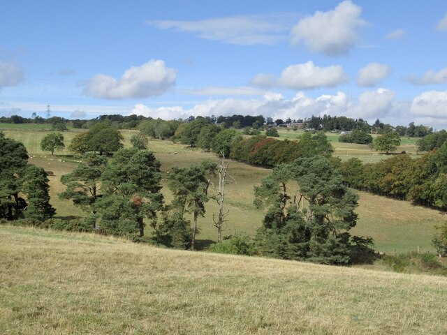
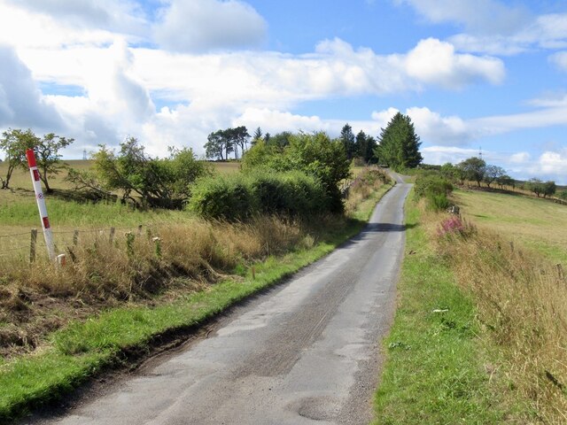
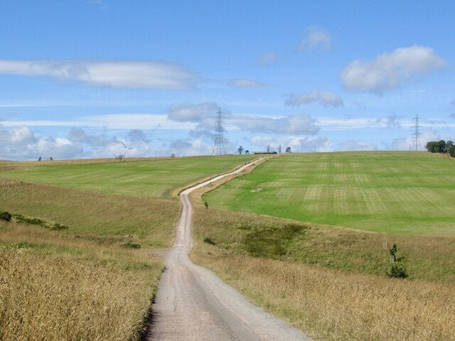
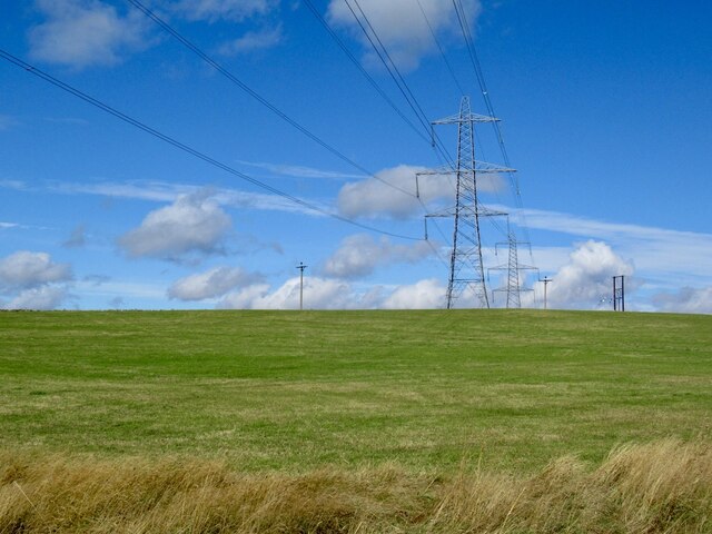
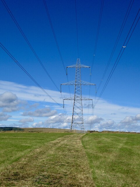
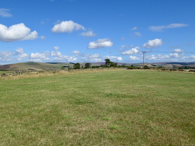
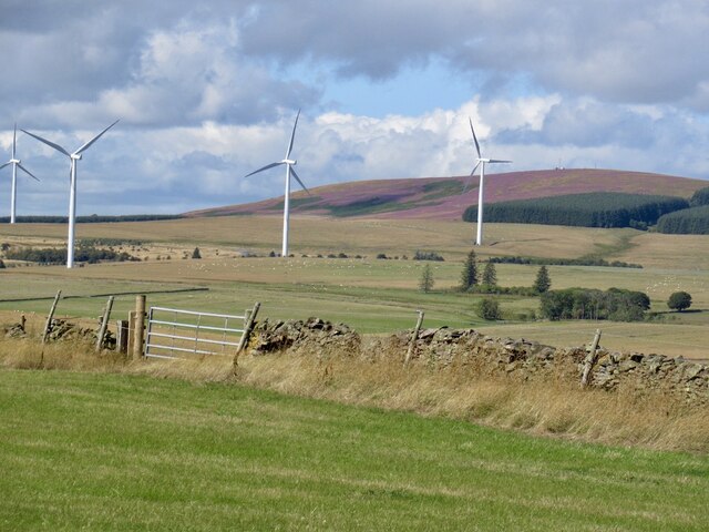
Airhouse Wood Images
Images are sourced within 2km of 55.774866/-2.8340763 or Grid Reference NT4753. Thanks to Geograph Open Source API. All images are credited.
Airhouse Wood is located at Grid Ref: NT4753 (Lat: 55.774866, Lng: -2.8340763)
Unitary Authority: The Scottish Borders
Police Authority: The Lothians and Scottish Borders
What 3 Words
///twitching.clown.beads. Near Lauder, Scottish Borders
Nearby Locations
Related Wikis

Channelkirk
Channelkirk is a parish and community council area in the north-west corner of the historic county of Berwickshire in the Scottish Borders area of Scotland...

Oxton, Scottish Borders
Oxton is a small rural village in the Scottish Borders area of Scotland, just off the A68. It is 4+1⁄2 miles (7 kilometres) north of Lauder, and 20 mi...

Oxton railway station
Oxton railway station served the village of Oxton, Scottish Borders, Scotland, from 1901 to 1958 on the Lauder Light Railway. == History == The station...

Carfrae Bastle
Carfrae Bastle is a small ruined tower house about 5 miles (8.0 km) north of Lauder, Scottish Borders, Scotland, near Hillhouse == History == Carfrae Bastle...
Addinston
Addinston is a farming village, off the A697, close to the Carfraemill roundabout, with two hill forts and settlements, in Lauderdale in the Scottish...

Soutra Aisle
Soutra Aisle, (the present structure lies just within the boundary of the Scottish Borders from Midlothian) not far from Fala, is the remains of the House...

Fountainhall railway station
Fountainhall railway station served the village of Fountainhall, Scottish Borders from 1848 to 1969 on the Waverley Route. == History == The station opened...
Halltree
Halltree is a hamlet in the Scottish Borders. == Etymology == The etymology of Halltree is debated, but the second element is likely to be a Cumbric word...
Nearby Amenities
Located within 500m of 55.774866,-2.8340763Have you been to Airhouse Wood?
Leave your review of Airhouse Wood below (or comments, questions and feedback).