Peel Brae
Downs, Moorland in Roxburghshire
Scotland
Peel Brae
The requested URL returned error: 429 Too Many Requests
If you have any feedback on the listing, please let us know in the comments section below.
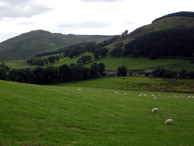
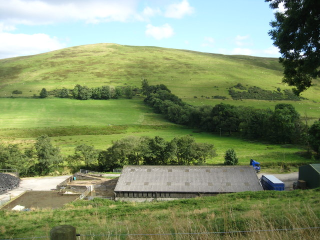
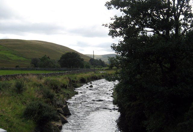
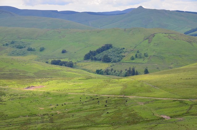
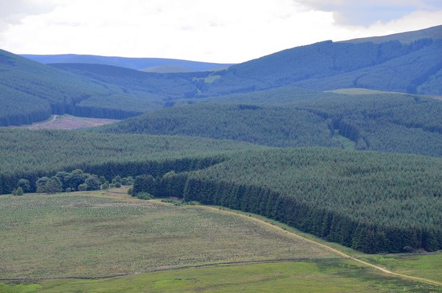
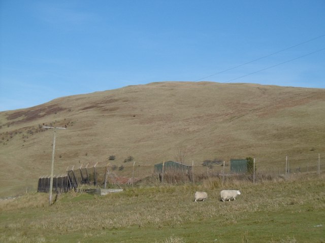
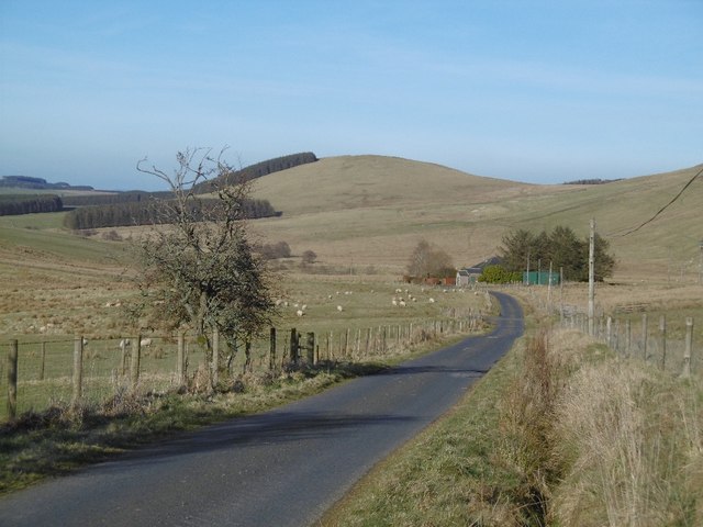
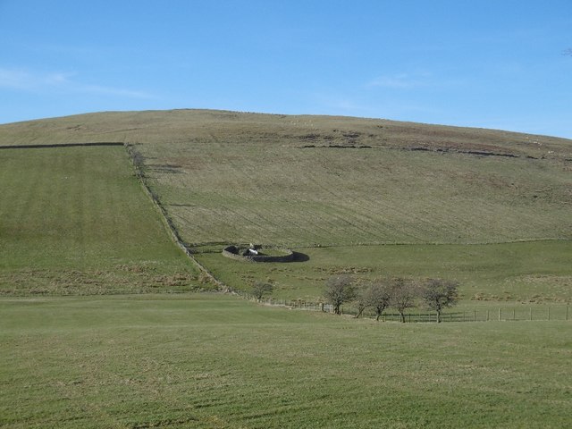
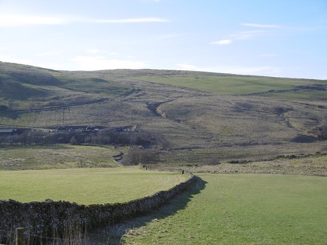
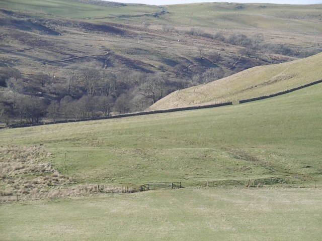
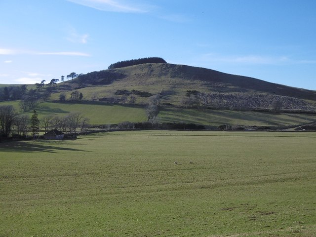
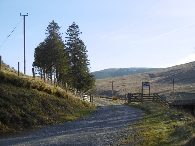
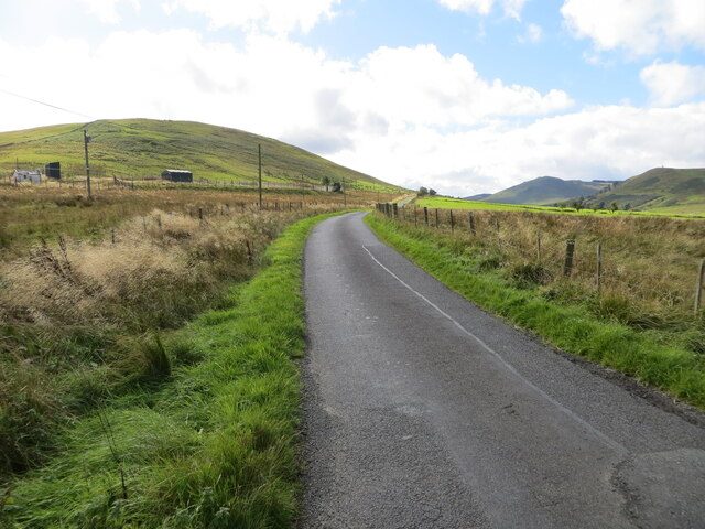
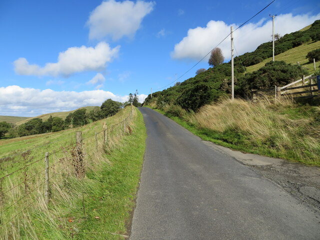
Peel Brae Images
Images are sourced within 2km of 55.328005/-2.8357909 or Grid Reference NT4704. Thanks to Geograph Open Source API. All images are credited.


Peel Brae is located at Grid Ref: NT4704 (Lat: 55.328005, Lng: -2.8357909)
Unitary Authority: The Scottish Borders
Police Authority: The Lothians and Scottish Borders
What 3 Words
///menswear.differ.deserved. Near Teviothead, Scottish Borders
Nearby Locations
Related Wikis

Maiden Paps (Hawick)
The Maiden Paps are twin hills near Hawick, in the Scottish Borders of the south east of Scotland, so named because they have the shape of human breasts...

Cauldcleuch Head
Cauldcleuch Head is a hill in an unnamed range of Roxburghshire hills north of Langholm, part of the Southern Uplands of Scotland. The highest hill in...

Shankend
Shankend Manor was a sixteenth-century mansion located some six miles (ten kilometres) south of Hawick, close to Whitrope Siding in Scotland. It was constructed...

Shankend railway station
Shankend railway station served the hamlet of Shankend, Scottish Borders, Scotland from 1862 to 1969 on the Border Union Railway. == History == The station...
Nearby Amenities
Located within 500m of 55.328005,-2.8357909Have you been to Peel Brae?
Leave your review of Peel Brae below (or comments, questions and feedback).