Sorbitholm Strip

Wood, Forest in Roxburghshire

Scotland

Sorbitholm Strip

Minor road at Kershopefoot Looking south-eastward.
Minor road at Kershopefoot Credit: Peter Wood

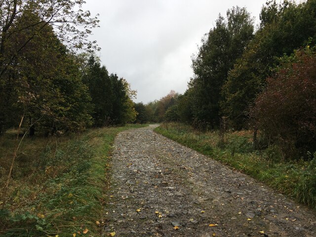
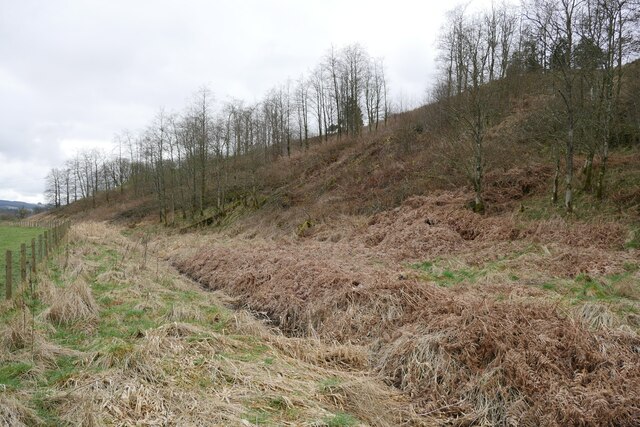
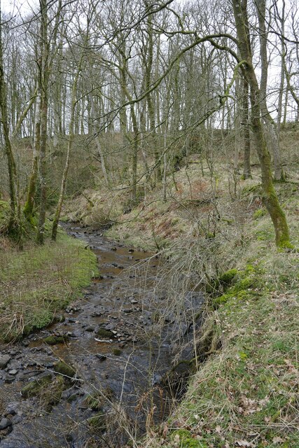
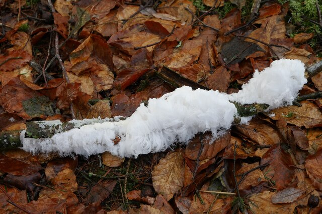
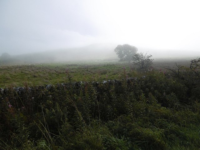
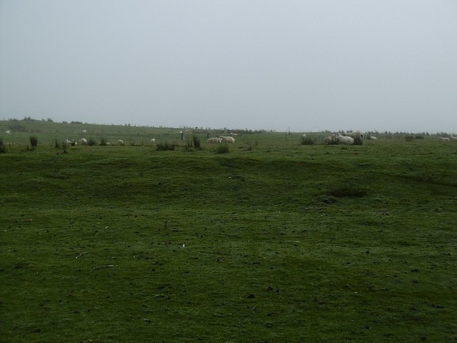
Sorbitholm Strip is a small woodland area located in Roxburghshire, Scotland. The strip covers approximately 20 acres of land and is known for its dense forest of mainly oak and beech trees. The woodland is home to a variety of wildlife, including deer, squirrels, and a wide range of bird species.

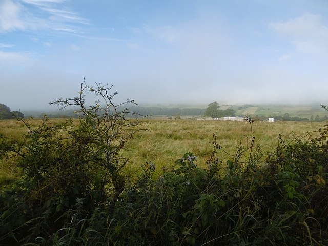
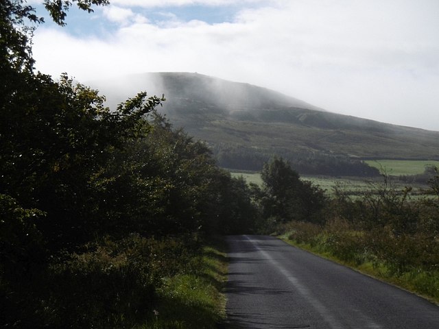
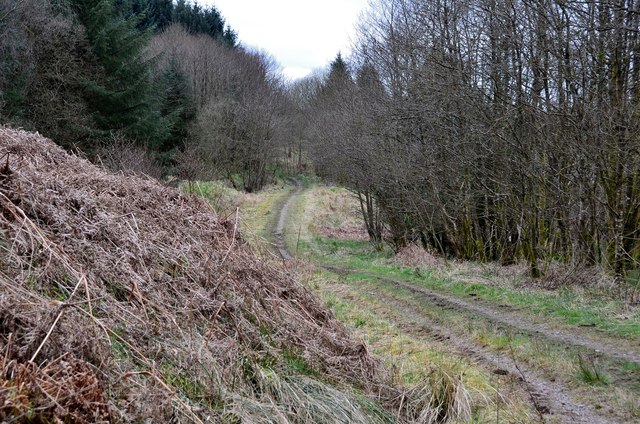
Sorbitholm Strip is a popular destination for hikers and nature enthusiasts, with several well-maintained trails that wind through the forest, offering stunning views of the surrounding countryside. The peaceful atmosphere of the woodland makes it a great place for a leisurely stroll or a picnic.

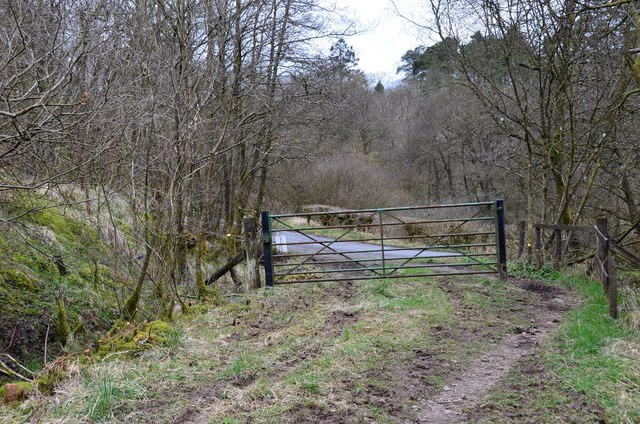
The woodland is carefully managed by local authorities to ensure the preservation of its natural beauty and biodiversity. Conservation efforts are in place to protect the native flora and fauna, as well as to maintain the integrity of the woodland ecosystem.

Overall, Sorbitholm Strip is a tranquil and picturesque woodland area that offers visitors a chance to connect with nature and enjoy the beauty of the Scottish countryside. It is a hidden gem in Roxburghshire, providing a peaceful escape from the hustle and bustle of everyday life.

If you have any feedback on the listing, please let us know in the comments section below.

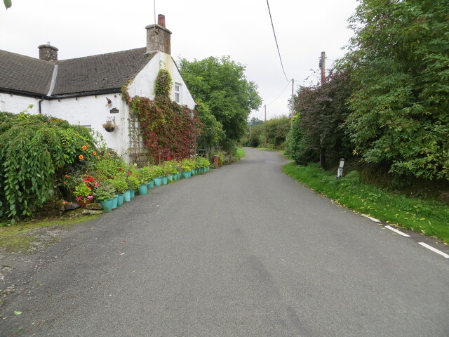
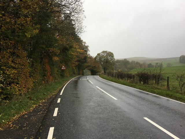
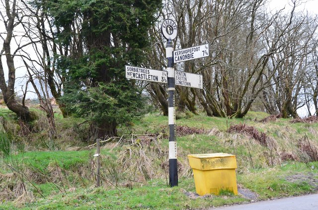
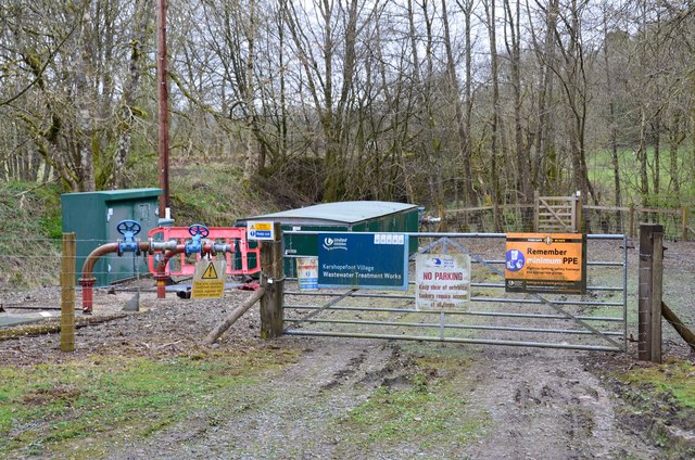
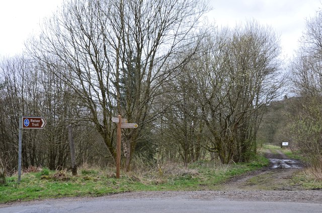
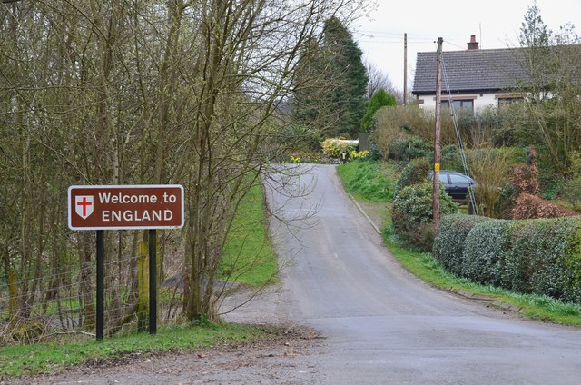
Sorbitholm Strip Images

Images are sourced within 2km of 55.14938/-2.8210835 or Grid Reference NY4784. Thanks to Geograph Open Source API. All images are credited.

Minor road at Kershopefoot Looking south-eastward.
Minor road at Kershopefoot
Looking south-eastward.
B6357 near Kershopefoot
Road into Thistlesike Plantation
Above the Liddel Water floodplain near Gilside Open woodland above the Liddel Water floodplain south of Newcastleton.
Above the Liddel Water floodplain near Gilside
Open woodland above the Liddel Water floodplain south of Newcastleton.
A sike near Gilside This sike is just about to flow in to the Liddel Water and is the combined water of the Kenneth Sike and Foulwood Sike which drain moorland and forestry above the valley.
A sike near Gilside
This sike is just about to flow in to the Liddel Water and is the combined water of the Kenneth Sike and Foulwood Sike which drain moorland and forestry above the valley.
A view of the Liddesdale from Gilbraehead The meandering Liddel Water and adjacent sheep and cattle pasture predominate this view from just south of Gilbraehead.
A view of the Liddesdale from Gilbraehead
The meandering Liddel Water and adjacent sheep and cattle pasture predominate this view from just south of Gilbraehead.
Hair ice on a fallen branch A very particular set of conditions are required for the formation of hair ice, caused by the actions of a specific fungus: 'To form, moist rotting wood from a broadleaf tree is required with the presence of moist air and a temperature slightly below 0°C. It is generally confined to latitudes between 45°N and 55°N' according to the Met Office <span class="nowrap"><a title="https://www.metoffice.gov.uk/weather/learn-about/weather/types-of-weather/frost-and-ice/hair-ice" rel="nofollow ugc noopener" href="https://www.metoffice.gov.uk/weather/learn-about/weather/types-of-weather/frost-and-ice/hair-ice">Link</a><img style="margin-left:2px;" alt="External link" title="External link - shift click to open in new window" src="https://s1.geograph.org.uk/img/external.png" width="10" height="10"/></span>.
Hair ice on a fallen branch
A very particular set of conditions are required for the formation of hair ice, caused by the actions of a specific fungus: 'To form, moist rotting wood from a broadleaf tree is required with the presence of moist air and a temperature slightly below 0°C. It is generally confined to latitudes between 45°N and 55°N' according to the Met Office LinkExternal link.
Hair ice on a tree branch at Kershopefoot A very particular set of conditions are required for the formation of hair ice, caused by the actions of a specific fungus: 'To form, moist rotting wood from a broadleaf tree is required with the presence of moist air and a temperature slightly below 0°C. It is generally confined to latitudes between 45°N and 55°N' according to the Met Office <span class="nowrap"><a title="https://www.metoffice.gov.uk/weather/learn-about/weather/types-of-weather/frost-and-ice/hair-ice" rel="nofollow ugc noopener" href="https://www.metoffice.gov.uk/weather/learn-about/weather/types-of-weather/frost-and-ice/hair-ice">Link</a><img style="margin-left:2px;" alt="External link" title="External link - shift click to open in new window" src="https://s1.geograph.org.uk/img/external.png" width="10" height="10"/></span>.
Hair ice on a tree branch at Kershopefoot
A very particular set of conditions are required for the formation of hair ice, caused by the actions of a specific fungus: 'To form, moist rotting wood from a broadleaf tree is required with the presence of moist air and a temperature slightly below 0°C. It is generally confined to latitudes between 45°N and 55°N' according to the Met Office LinkExternal link.
Damp pasture, Liddesdale Morning fog lifts from Liddesdale, downstream from Newcastleton.
Damp pasture, Liddesdale
Morning fog lifts from Liddesdale, downstream from Newcastleton.
Autumn morning, Liddesdale Mist clears from Carby Hill. Fog had filled the low ground around the Solway Firth and had moved up Liddesdale, rising as the Sun warmed the air.
Autumn morning, Liddesdale
Mist clears from Carby Hill. Fog had filled the low ground around the Solway Firth and had moved up Liddesdale, rising as the Sun warmed the air.
Lifting fog, Sorbietrees Morning fog lifting in Liddesdale and revealing Carby Hill.
Lifting fog, Sorbietrees
Morning fog lifting in Liddesdale and revealing Carby Hill.
Hill grazings, Carby Hill Off the unfenced road from Newcastleton to Kershope Bridge and England.
Hill grazings, Carby Hill
Off the unfenced road from Newcastleton to Kershope Bridge and England.
Path to Kershopefoot A path through woodland above the bank of the burn.
Path to Kershopefoot
A path through woodland above the bank of the burn.
Gate near the road to Kershopefoot At the western end of the path from Kershope Bridge.
Gate near the road to Kershopefoot
At the western end of the path from Kershope Bridge.
Old signpost near Kershopefoot A magnificent old road sign at a junction near the hamlet of Kershopefoot. It is surmounted by a roundel labelled Kershope and has 'Cumberland County Council' in smaller lettering vertically down the column. Distances are given to the nearest quarter of a mile.
Old signpost near Kershopefoot
A magnificent old road sign at a junction near the hamlet of Kershopefoot. It is surmounted by a roundel labelled Kershope and has 'Cumberland County Council' in smaller lettering vertically down the column. Distances are given to the nearest quarter of a mile.
Wastewater treatment works, Kershopefoot By the Kershope Burn close to its confluence with the Liddel Water.
Wastewater treatment works, Kershopefoot
By the Kershope Burn close to its confluence with the Liddel Water.
Path along disused railway, Kershopefoot Footpath sign indicating the path to Newcastleton on the old Waverley route from Carlisle to Edinburgh.
Path along disused railway, Kershopefoot
Footpath sign indicating the path to Newcastleton on the old Waverley route from Carlisle to Edinburgh.
Kershopefoot A Border hamlet at the confluence of the Kershope Burn and the Liddel Water. The border itself runs along the Kershope Burn and Kershopefoot is on the English side.
Kershopefoot
A Border hamlet at the confluence of the Kershope Burn and the Liddel Water. The border itself runs along the Kershope Burn and Kershopefoot is on the English side.
Show me another place!

Sorbitholm Strip is located at Grid Ref: NY4784 (Lat: 55.14938, Lng: -2.8210835)

Unitary Authority: The Scottish Borders

Police Authority: The Lothians and Scottish Borders

What 3 Words

///humble.reporters.punk. Near Langholm, Dumfries & Galloway

Nearby Locations

Sorbitholm Strip

Related Wikis

Mangerton Tower

Mangerton Tower is a ruined Scottish tower castle house formerly belonging to the Armstrong family. Mangerton Tower is at Mangerton in Newcastleton or...

Kershope Burn

Kershope Burn is a small river; a tributary of both the Liddel Water and the River Esk; its final destination is the Solway Firth. The early stages begin...

Kershopefoot

Kershopefoot is a small hamlet in Cumbria, England, traditionally in Cumberland. It is located very close to the Scotland-England border and is near the...

Penton railway station

Penton railway station served the parish of Penton from 1862 to 1969 on the Border Union Railway. == History == The station opened on 1 March 1862 by the...

Nearby Amenities

Located within 500m of 55.14938,-2.8210835
Power: pole
Lat/Long: 55.146092/-2.8244277
Power: pole
Lat/Long: 55.1470278/-2.8240118
Power: pole
Lat/Long: 55.1479625/-2.8235934
Power: pole
Lat/Long: 55.1491685/-2.8232454
Power: pole
Lat/Long: 55.1503272/-2.8229208
Power: pole
Lat/Long: 55.1514808/-2.8225971
Power: pole
Lat/Long: 55.1525996/-2.8222782
Power: pole
Lat/Long: 55.1538067/-2.8219345
Power: pole
Lat/Long: 55.1460392/-2.826046
Power: pole
Lat/Long: 55.1465483/-2.8228865
Power: pole
Lat/Long: 55.1468191/-2.8219647
Power: pole
Lat/Long: 55.1460568/-2.8207776
Power: pole
Lat/Long: 55.1453107/-2.8196344
Power: pole
Lat/Long: 55.1493839/-2.8243105
Power: pole
Lat/Long: 55.1495972/-2.8253919
Power: pole
Lat/Long: 55.1497017/-2.8258219
Power: pole
Lat/Long: 55.1498223/-2.8262236
Power: pole
Lat/Long: 55.1498885/-2.8264889
Power: pole
Lat/Long: 55.1526444/-2.8233165
Power: pole
Lat/Long: 55.1526709/-2.8242281
Power: pole
Lat/Long: 55.1526944/-2.8247379
Power: pole
Lat/Long: 55.1527268/-2.8256288
Power: pole
Lat/Long: 55.1527503/-2.8261026
The data included in this document is from www.openstreetmap.org. The data is made available under ODbL.

Have you been to Sorbitholm Strip?

Leave your review of Sorbitholm Strip below (or comments, questions and feedback).