Goldielands Plantation
Wood, Forest in Roxburghshire
Scotland
Goldielands Plantation
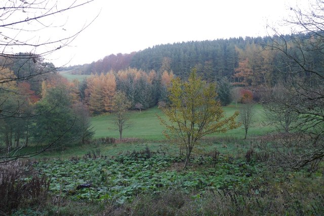
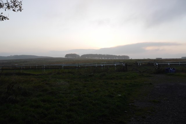
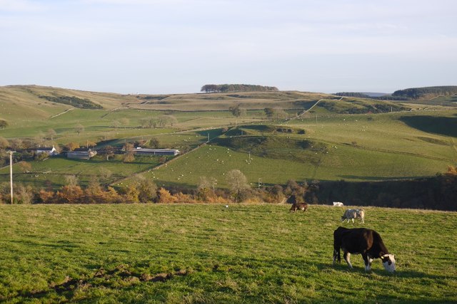
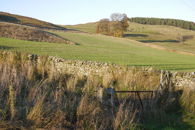
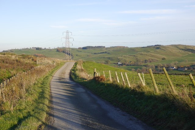
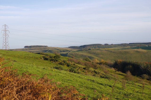
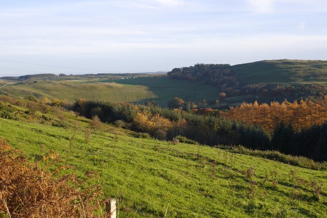
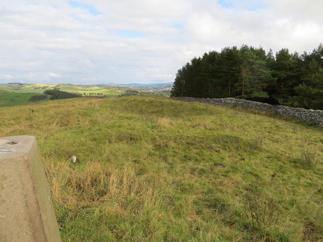
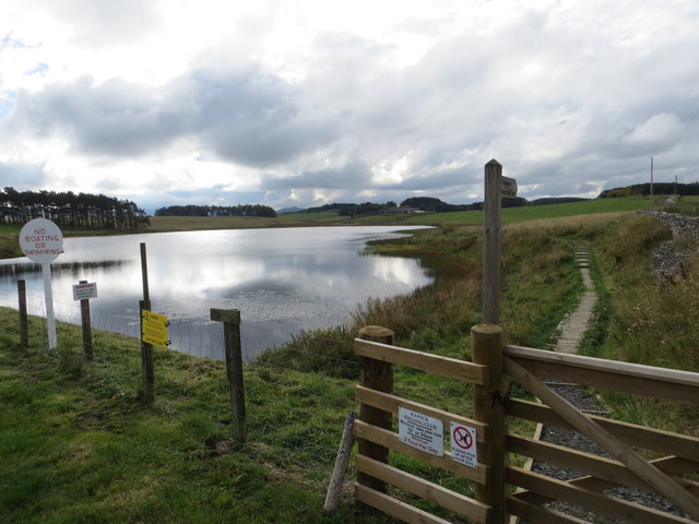
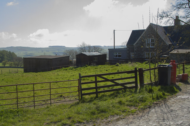
Goldielands Plantation is a picturesque forest located in Roxburghshire, Scotland. Covering an expansive area, the plantation is known for its dense woodlands and breathtaking natural beauty. It is a popular destination for nature enthusiasts and outdoor adventurers seeking tranquility and a connection with nature.
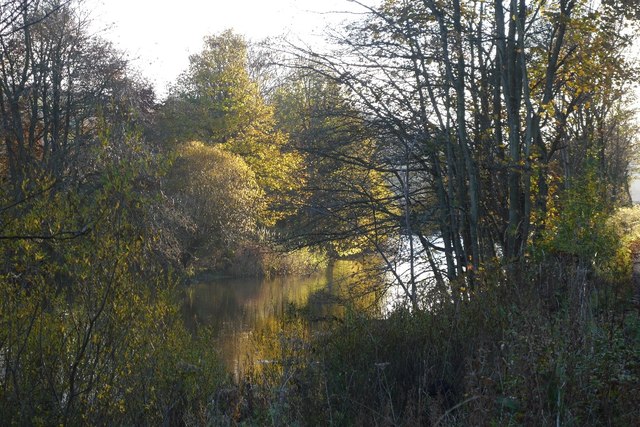
The plantation boasts a diverse range of tree species, including oak, beech, and pine, which create a rich tapestry of colors throughout the year. The forest floor is adorned with a vibrant array of wildflowers and ferns, enhancing the enchanting atmosphere of the woodland.
Visitors to Goldielands Plantation can explore the numerous walking trails that wind their way through the forest, providing an opportunity to immerse oneself in the serene surroundings. These paths offer a chance to spot various wildlife species, such as red squirrels, roe deer, and a variety of bird species. The plantation is also home to a small pond, which attracts a range of aquatic wildlife.
The plantation is well-maintained, with careful consideration given to preserving the natural ecosystem and promoting biodiversity. It is managed sustainably, with periodic tree thinning and replanting initiatives to ensure the health and longevity of the woodland.
Goldielands Plantation offers a peaceful retreat from the hustle and bustle of everyday life, providing visitors with a chance to relax, unwind, and soak up the beauty of nature. Whether it is a leisurely stroll, a picnic amidst the trees, or simply taking in the sights and sounds of the forest, this plantation offers a truly rejuvenating experience.
If you have any feedback on the listing, please let us know in the comments section below.
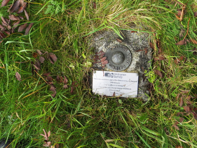
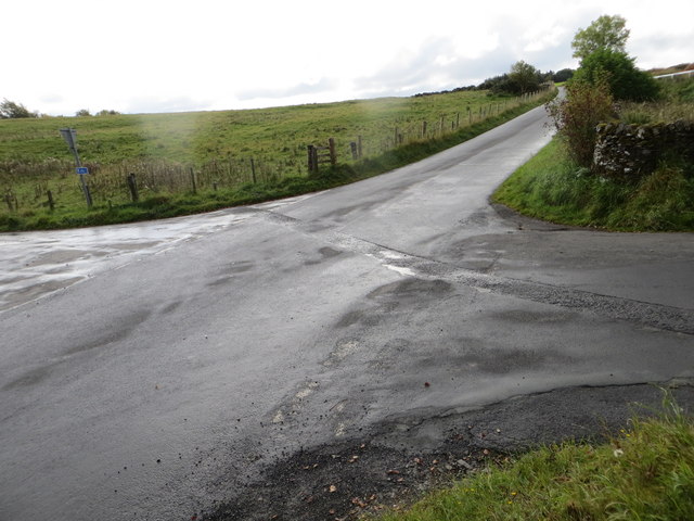
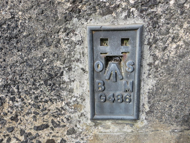
Goldielands Plantation Images
Images are sourced within 2km of 55.405374/-2.8264794 or Grid Reference NT4712. Thanks to Geograph Open Source API. All images are credited.

Goldielands Plantation is located at Grid Ref: NT4712 (Lat: 55.405374, Lng: -2.8264794)
Unitary Authority: The Scottish Borders
Police Authority: The Lothians and Scottish Borders
What 3 Words
///steps.cobras.inserting. Near Hawick, Scottish Borders
Nearby Locations
Related Wikis

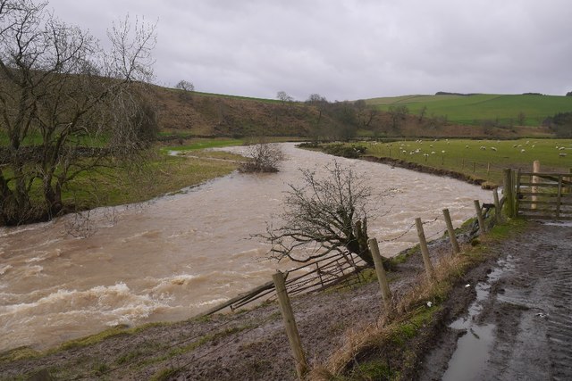
Borthwick Water
The Borthwick Water (Border Scots: Borthwick Witter) is a river in the Scottish Borders area of Scotland, and a tributary of the River Teviot. The Aithouse...

Branxholme Castle
Branxholme Castle is a five-storey tower at Branxholme, about 3 miles south-west of Hawick in the Borders region of Scotland. == History == The present...

Branxholme
Branxholme is a hamlet in the Scottish Borders area of Scotland, overlooking the River Teviot, 3 miles (5 kilometres) southwest of Hawick, on the A7 road...

Wilton Dean
Wilton Dean is a village in the Scottish Borders area of Scotland, on the Cala Burn, and close to the River Teviot. Along with Stirches and...
Nearby Amenities
Located within 500m of 55.405374,-2.8264794Have you been to Goldielands Plantation?
Leave your review of Goldielands Plantation below (or comments, questions and feedback).