Pilmuir Wood

Wood, Forest in Fife

Scotland

Pilmuir Wood

Farmland by Pilmuir Looking North towards Pilmuir Farm
Farmland by Pilmuir Credit: Jim Bain

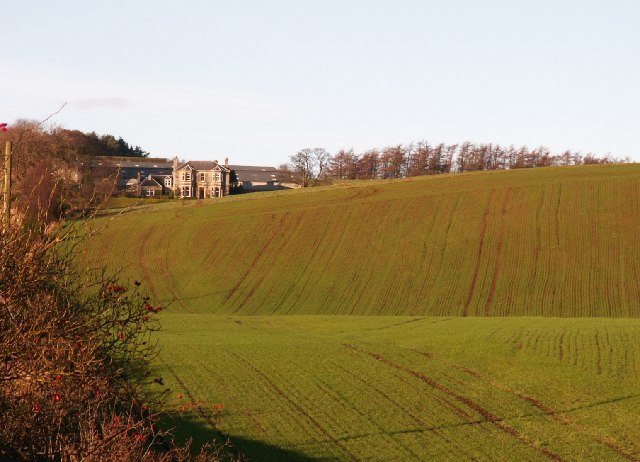
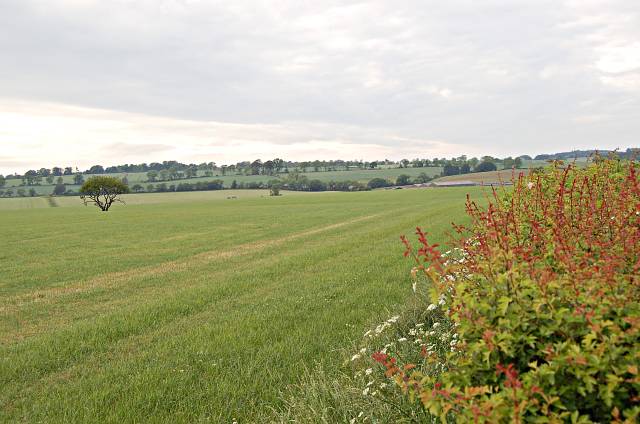
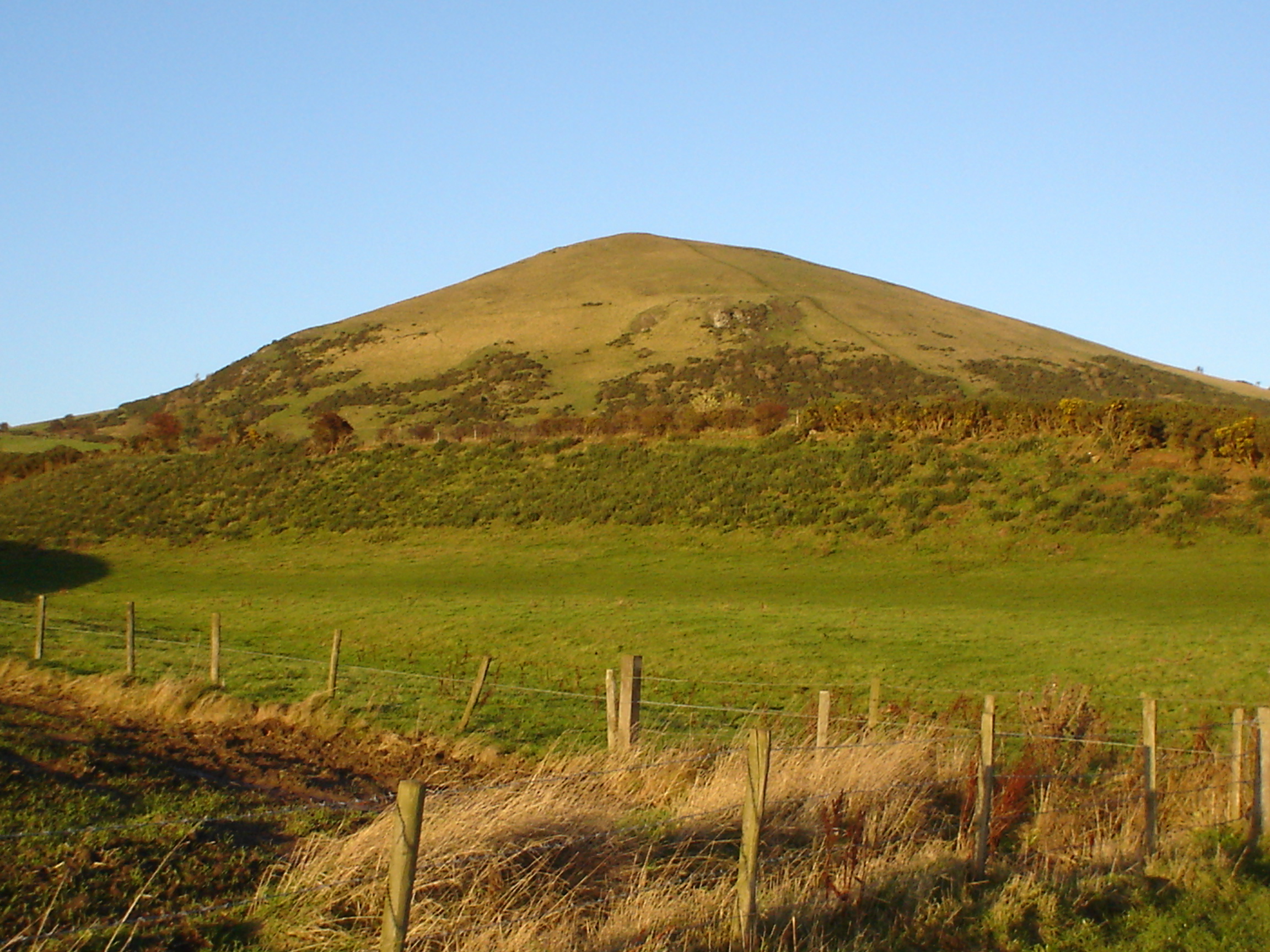
Pilmuir Wood, located in Fife, Scotland, is a picturesque woodland area covering an approximate area of 25 acres. The wood is situated near the village of Lundin Links, in close proximity to the coast of the Firth of Forth.

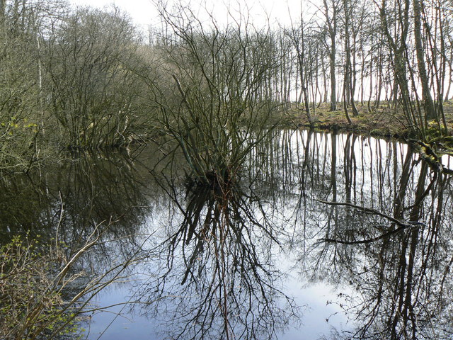
Pilmuir Wood is primarily composed of a mixture of broadleaf and coniferous trees, including oak, beech, birch, and Scots pine. These trees create a dense canopy that provides shelter and habitats for a variety of wildlife species. The woodland floor is adorned with a carpet of bluebells during the springtime, creating a stunning display of color.

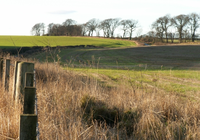
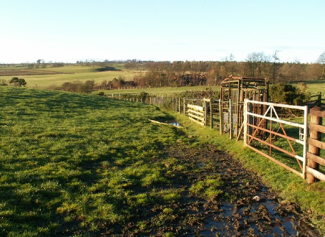
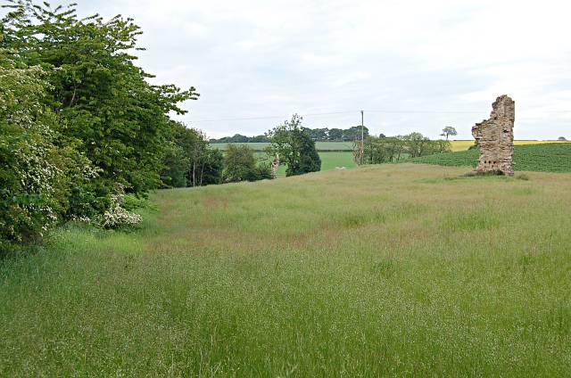
The wood is crisscrossed by a network of well-maintained footpaths, enabling visitors to explore the area at their leisure. These paths lead to various scenic spots within the wood, such as a small pond where ducks and other waterfowl can often be seen.

Pilmuir Wood offers a tranquil and peaceful environment for walkers, nature enthusiasts, and photographers. The wood provides an opportunity to immerse oneself in nature and escape the hustle and bustle of everyday life. It is a popular destination for locals and visitors alike, particularly those seeking a peaceful retreat or a spot for a leisurely picnic.

The wood is easily accessible, with nearby parking facilities and good transportation links. Visitors are encouraged to respect the natural environment and adhere to any guidelines or regulations in order to preserve the beauty and biodiversity of Pilmuir Wood for future generations to enjoy.

If you have any feedback on the listing, please let us know in the comments section below.

Pilmuir Wood Images

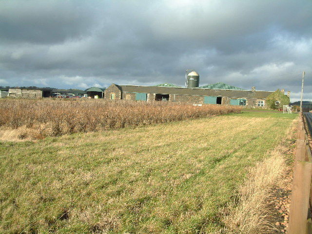
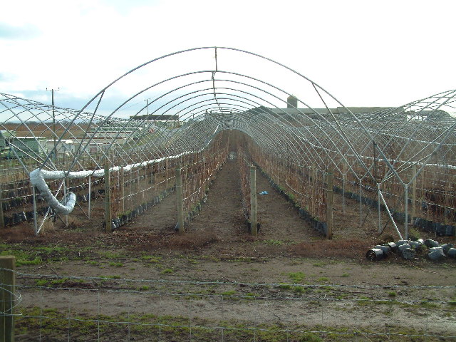
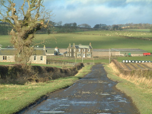
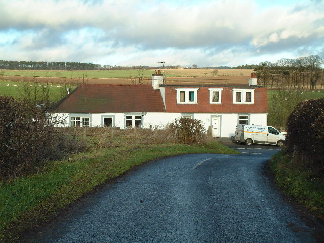
Images are sourced within 2km of 56.2253/-2.981411 or Grid Reference NO3904. Thanks to Geograph Open Source API. All images are credited.

Farmland by Pilmuir Looking North towards Pilmuir Farm
Farmland by Pilmuir
Looking North towards Pilmuir Farm
Farmland by Thomsford. The minor road from Thomsford to Letham crosses this square in an East/West direction. Looking West from the centre of the square.
Farmland by Thomsford.
The minor road from Thomsford to Letham crosses this square in an East/West direction. Looking West from the centre of the square.
Farmland by Carlhuley Looking out across the square towards the west.
Farmland by Carlhuley
Looking out across the square towards the west.
Letham Farm Old building among new farm buildings
Letham Farm
Old building among new farm buildings
Blacketyside Farm Shop
Naked polytunnels Protective plastic sheeting has been rolled back off the hoops around the fruit canes
Naked polytunnels
Protective plastic sheeting has been rolled back off the hoops around the fruit canes
Nether Pratis Farm
Nether Pratis Farm
Thomsford cottages
Thomsford cottages
By Nether Pratis Looking north towards Nether Pratis Farm
By Nether Pratis
Looking north towards Nether Pratis Farm
Aithernie Castle Aithernie Castle near Leven. Not much of it left now.
Aithernie Castle
Aithernie Castle near Leven. Not much of it left now.
Aithernie Castle Aithernie Castle near Leven. Not much of it left now.
Aithernie Castle
Aithernie Castle near Leven. Not much of it left now.
By Bankhead Farm Looking towards Bankhead Farm from by Aithernie Castle. The B927 runs left to right across the middle distance.
By Bankhead Farm
Looking towards Bankhead Farm from by Aithernie Castle. The B927 runs left to right across the middle distance.
On reflection Pond in Lundin wood.
On reflection
Pond in Lundin wood.
Lundin Tower The old square tower which was part of the mansion of Lundin (and which is said to be a remnant of an old castle of Lundin) dates from the time of David II. It has been carefully preserved since the mansion was pulled down in late 19th century and the adjacent house and the tower are now again being restored.
Lundin Tower
The old square tower which was part of the mansion of Lundin (and which is said to be a remnant of an old castle of Lundin) dates from the time of David II. It has been carefully preserved since the mansion was pulled down in late 19th century and the adjacent house and the tower are now again being restored.
Wooley animals Angora goats near Coldstream farm.
Wooley animals
Angora goats near Coldstream farm.
Entrance to Blacketyside house Overlooking Blacketyside fruit farm.
Entrance to Blacketyside house
Overlooking Blacketyside fruit farm.
A rainbow of refuse Colourful selection of rubbish bins at the rear of the recently-opened Blacketyside farm shop and restaurant.
A rainbow of refuse
Colourful selection of rubbish bins at the rear of the recently-opened Blacketyside farm shop and restaurant.
A915 Between Lundin Links and Leven in the distance. 

In the past year the pavement was dug up and widened to provide space for dual use as a cycle track and as a footpath.
A915
Between Lundin Links and Leven in the distance. In the past year the pavement was dug up and widened to provide space for dual use as a cycle track and as a footpath.
Show me another place!

Pilmuir Wood is located at Grid Ref: NO3904 (Lat: 56.2253, Lng: -2.981411)

Unitary Authority: Fife

Police Authority: Fife

What 3 Words

///thud.mended.comedy. Near Lundin Links, Fife

Related Wikis

Lundin Links

Lundin Links is a small village in the parish of Largo on the south coast of Fife in eastern central Scotland. The village was largely built in the 19th...

Lundin Links railway station

Lundin Links railway station served the village of Lundin Links, Fife, Scotland from 1857 to 1965 on the Fife Coast Railway. == History == The station...

Largo, Fife

Largo (Scottish Gaelic: An Leargach) is a parish in Fife, Scotland containing the villages of Upper Largo or Kirkton of Largo, Lower Largo and Lundin Links...

Lower Largo

Lower Largo or Seatown of Largo is a village in Fife, Scotland, situated on Largo Bay along the north side of the Firth of Forth. It is east of, and contiguous...

Largo railway station

Largo railway station served the village of Lower Largo, Fife, Scotland from 1857 to 1965 on the East of Fife Railway. == History == The station opened...
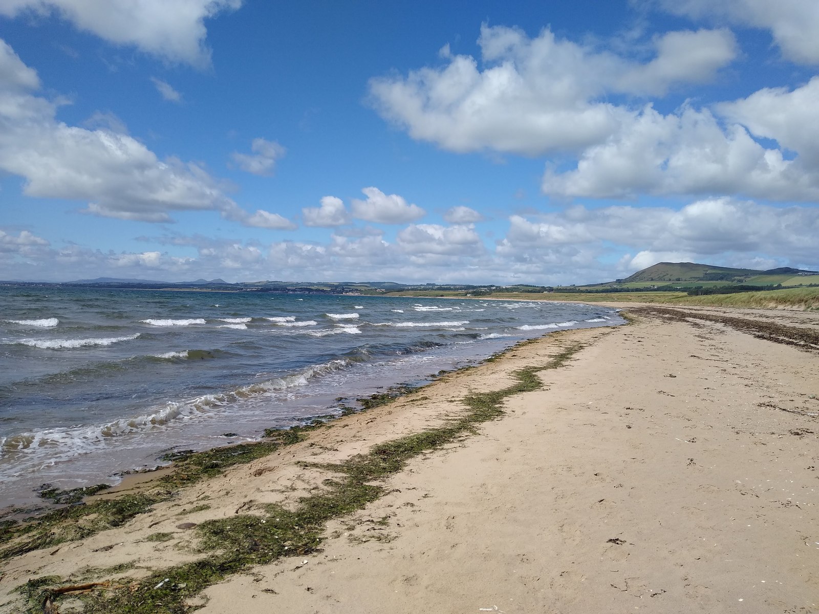
Largo Bay

Largo Bay is a bay on the northern shore of the Firth of Forth, on the coast of Fife, Scotland.Lower Largo is a village right on the bay, with small harbour...

Levenmouth

Levenmouth is a conurbation comprising a network of settlements on the north side of the Firth of Forth, in Fife on the east coast of Scotland. It consists...

East Fife G.W.F.C.

East Fife Girls and Women's Football Club are a Scottish women's football team based in the Fife coastal town of Leven. The team, established in 2000,...

Nearby Amenities

Located within 500m of 56.2253,-2.981411
Generator Method: wind_turbine
Generator Source: wind
Power: generator
Lat/Long: 56.2275958/-2.987231
Power: pole
Lat/Long: 56.2216491/-2.9832522
Power: pole
Lat/Long: 56.2223125/-2.9817114
Power: pole
Lat/Long: 56.2227749/-2.9804869
Power: pole
Lat/Long: 56.2234499/-2.9794994
Power: pole
Lat/Long: 56.2241149/-2.9785297
Power: pole
Lat/Long: 56.2249059/-2.9773865
Power: pole
Lat/Long: 56.2256653/-2.9762752
Power: pole
Lat/Long: 56.2264464/-2.9751639
Power: pole
Lat/Long: 56.2271508/-2.974088
Power: pole
Lat/Long: 56.221013/-2.9825469
Power: pole
Lat/Long: 56.2214076/-2.9833641
Power: pole
Lat/Long: 56.2216403/-2.9838818
Power: pole
Lat/Long: 56.2216145/-2.9850729
Power: pole
Lat/Long: 56.2215391/-2.9821516
Power: pole
Lat/Long: 56.2216697/-2.9810068
Power: pole
Lat/Long: 56.2217982/-2.9797829
Power: pole
Lat/Long: 56.2219255/-2.9785894
Power: pole
Lat/Long: 56.2221891/-2.9773331
Power: pole
Lat/Long: 56.2224561/-2.9760566
Power: pole
Lat/Long: 56.2227084/-2.9747942
Pilmuir Farm Airstrip
Access: private
Aeroway: airstrip
Fixme: Is this still in use?
Lat/Long: 56.2237273/-2.9780212
The data included in this document is from www.openstreetmap.org. The data is made available under ODbL.

Have you been to Pilmuir Wood?

Leave your review of Pilmuir Wood below (or comments, questions and feedback).