Fluthers Wood

Wood, Forest in Fife

Scotland

Fluthers Wood

Farmland around Annfield Taken looking SE across most of this square to Annfield farm. Largo Law 290mts behind.
Farmland around Annfield Credit: Jim Bain

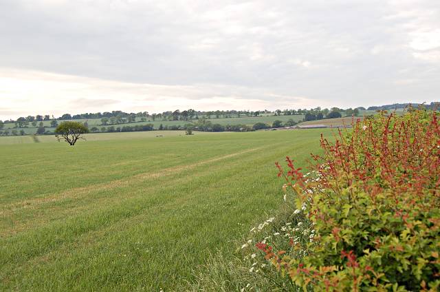
Fluthers Wood is a captivating forest located in the heart of Fife, a historic county in Scotland. Spread over an area of approximately 100 acres, this enchanting woodland is home to a diverse range of flora and fauna, making it a popular destination for nature enthusiasts and hikers alike.

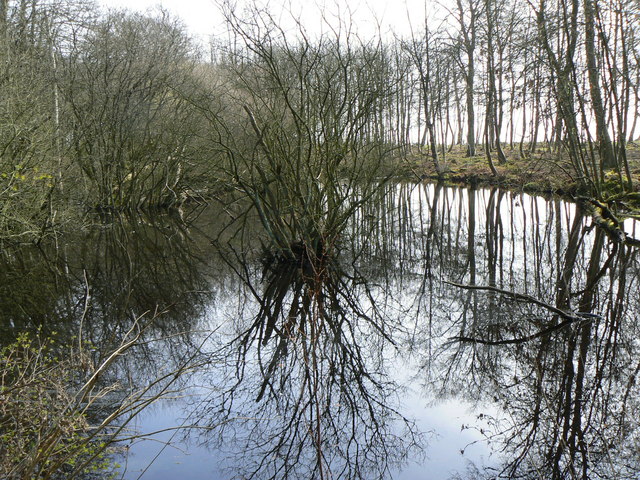
The wood is characterized by its dense canopy of ancient oak and birch trees, which provide a haven for numerous wildlife species. Visitors can spot a variety of birds, including woodpeckers, owls, and thrushes, as well as small mammals such as squirrels, foxes, and rabbits. The forest floor is adorned with a colorful carpet of wildflowers during the spring and summer months, adding to the area's natural beauty.

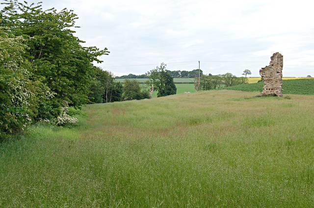
Tranquil walking trails meander through Fluthers Wood, offering visitors the opportunity to explore its hidden treasures. These paths are well-maintained, making it accessible for people of all ages and abilities. As you wander through the forest, you may stumble upon picturesque streams and small ponds, adding to the serenity and charm of the woodland.

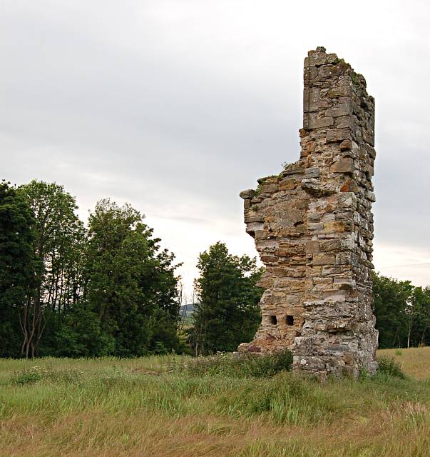
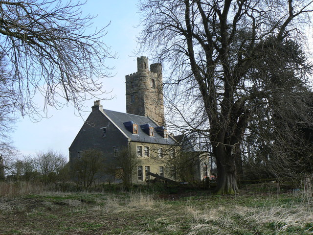
Fluthers Wood is not only a haven for wildlife but also a place of historical significance. The area has remnants of ancient settlements, including stone circles and burial mounds, dating back thousands of years. These archaeological sites provide a glimpse into the rich cultural heritage of the region.

Overall, Fluthers Wood is a captivating natural oasis, offering a peaceful escape from the hustle and bustle of modern life. Whether you are a nature lover, history enthusiast, or simply seeking tranquility, this woodland is sure to captivate your senses and leave you with a lasting impression.

If you have any feedback on the listing, please let us know in the comments section below.

Fluthers Wood Images

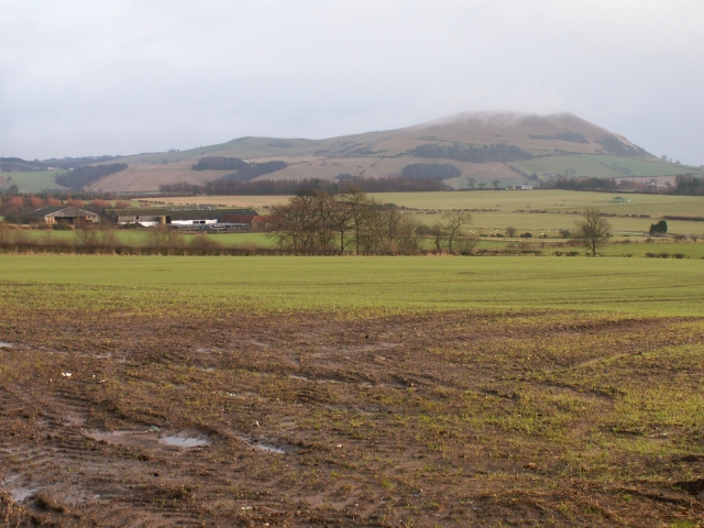
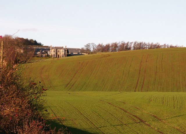
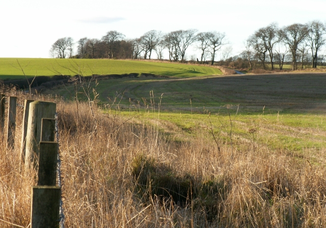
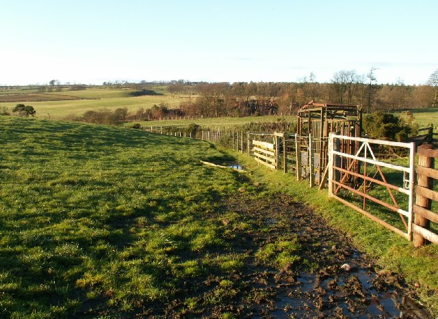
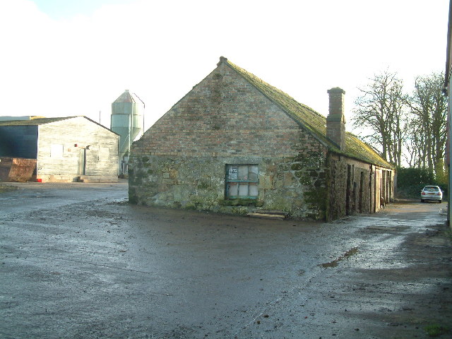
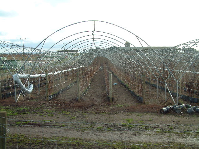
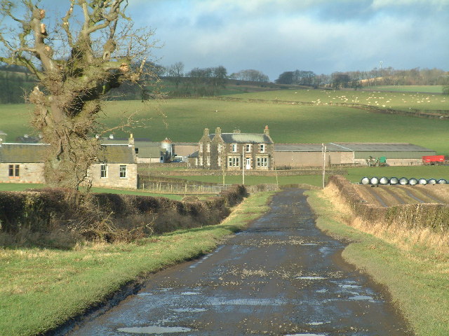
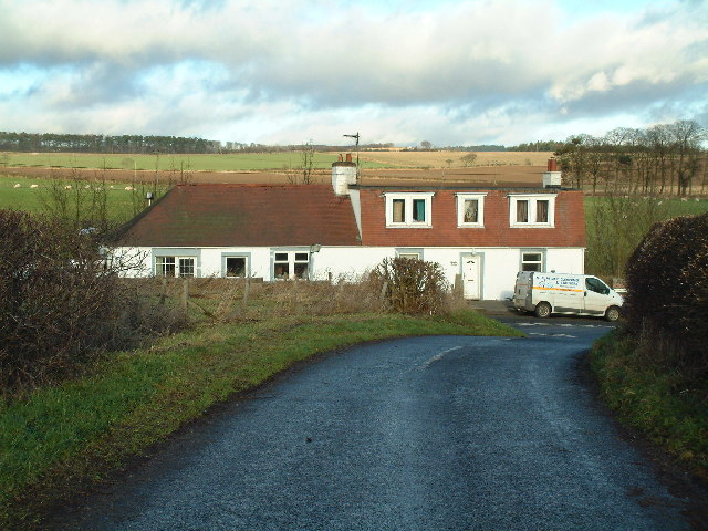
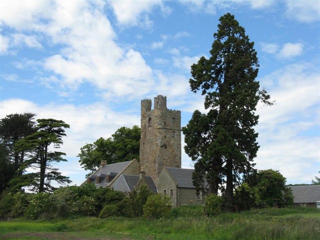
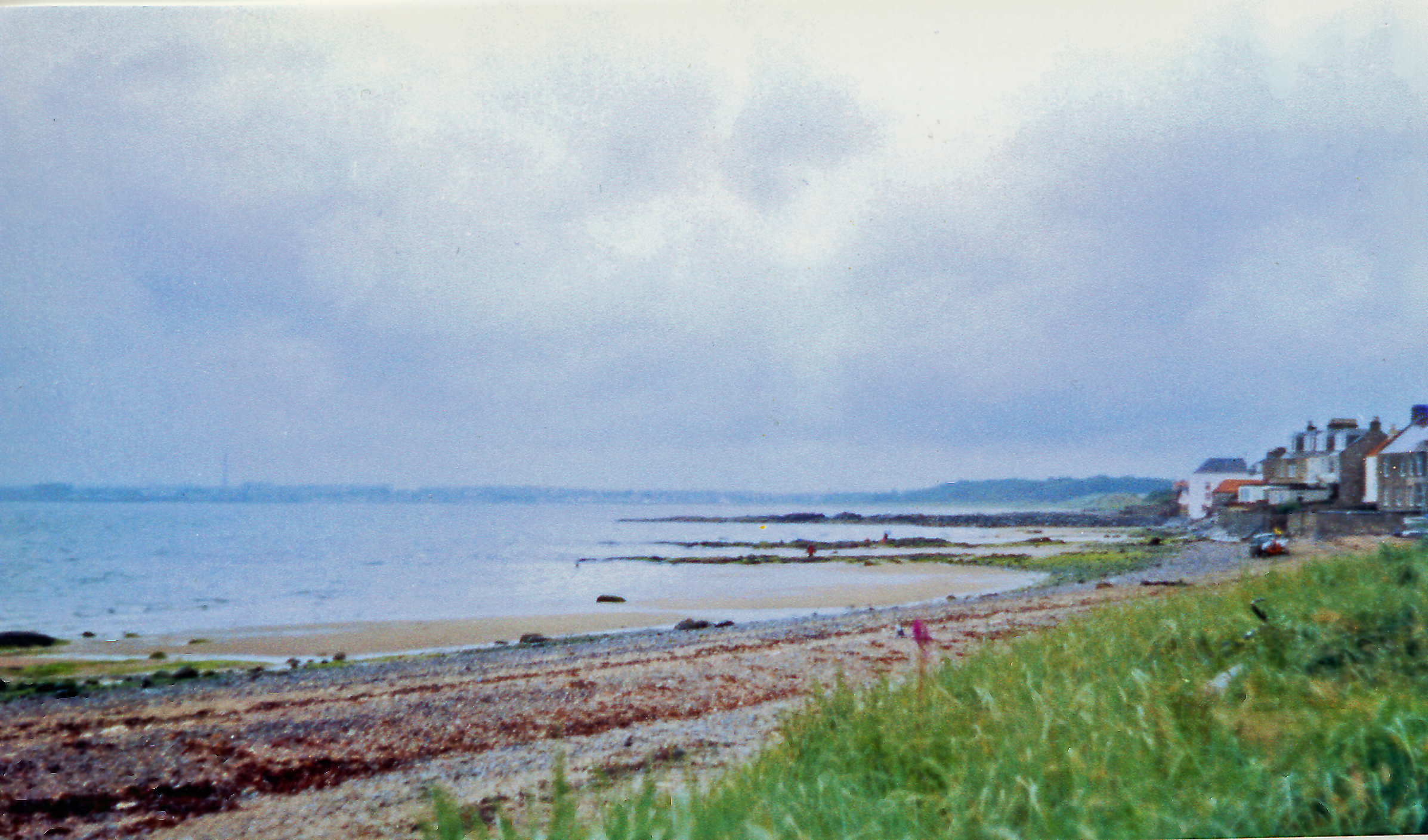
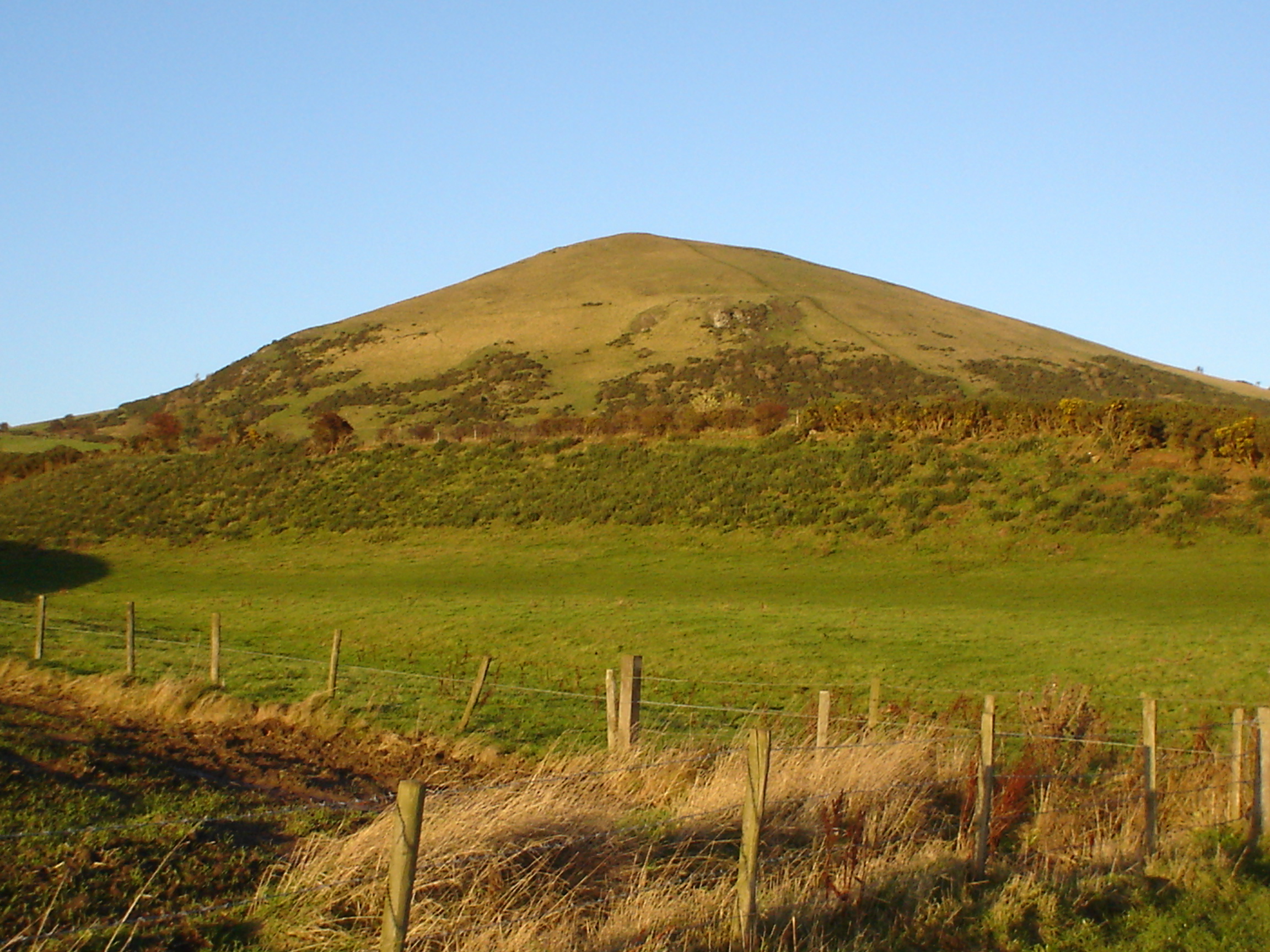
Images are sourced within 2km of 56.229906/-2.9807384 or Grid Reference NO3904. Thanks to Geograph Open Source API. All images are credited.

Farmland around Annfield Taken looking SE across most of this square to Annfield farm. Largo Law 290mts behind.
Farmland around Annfield
Taken looking SE across most of this square to Annfield farm. Largo Law 290mts behind.
Farmland by Pilmuir Looking North towards Pilmuir Farm
Farmland by Pilmuir
Looking North towards Pilmuir Farm
Farmland by Thomsford. The minor road from Thomsford to Letham crosses this square in an East/West direction. Looking West from the centre of the square.
Farmland by Thomsford.
The minor road from Thomsford to Letham crosses this square in an East/West direction. Looking West from the centre of the square.
Farmland by Carlhuley Looking out across the square towards the west.
Farmland by Carlhuley
Looking out across the square towards the west.
Letham Farm Old building among new farm buildings
Letham Farm
Old building among new farm buildings
Naked polytunnels Protective plastic sheeting has been rolled back off the hoops around the fruit canes
Naked polytunnels
Protective plastic sheeting has been rolled back off the hoops around the fruit canes
Nether Pratis Farm
Nether Pratis Farm
Thomsford cottages
Thomsford cottages
By Nether Pratis Looking north towards Nether Pratis Farm
By Nether Pratis
Looking north towards Nether Pratis Farm
Aithernie Castle Aithernie Castle near Leven. Not much of it left now.
Aithernie Castle
Aithernie Castle near Leven. Not much of it left now.
Aithernie Castle Aithernie Castle near Leven. Not much of it left now.
Aithernie Castle
Aithernie Castle near Leven. Not much of it left now.
By Bankhead Farm Looking towards Bankhead Farm from by Aithernie Castle. The B927 runs left to right across the middle distance.
By Bankhead Farm
Looking towards Bankhead Farm from by Aithernie Castle. The B927 runs left to right across the middle distance.
On reflection Pond in Lundin wood.
On reflection
Pond in Lundin wood.
Lundin Tower The old square tower which was part of the mansion of Lundin (and which is said to be a remnant of an old castle of Lundin) dates from the time of David II. It has been carefully preserved since the mansion was pulled down in late 19th century and the adjacent house and the tower are now again being restored.
Lundin Tower
The old square tower which was part of the mansion of Lundin (and which is said to be a remnant of an old castle of Lundin) dates from the time of David II. It has been carefully preserved since the mansion was pulled down in late 19th century and the adjacent house and the tower are now again being restored.
Entrance to Blacketyside house Overlooking Blacketyside fruit farm.
Entrance to Blacketyside house
Overlooking Blacketyside fruit farm.
Towards Pilmuir Farmland by Lundin Tower with Pilmuir in the far distance on a hazy morning.
Towards Pilmuir
Farmland by Lundin Tower with Pilmuir in the far distance on a hazy morning.
Lundin Tower and house Late evening light on the old tower and the house. See <a href="https://www.geograph.org.uk/photo/396727">NO3902 : Lundin Tower</a> for more details about this structure.
Lundin Tower and house
Late evening light on the old tower and the house. See NO3902 : Lundin Tower for more details about this structure.
Lundin Tower, with additions For more information see <a href="https://www.geograph.org.uk/photo/396727">NO3902 : Lundin Tower</a>.
Lundin Tower, with additions
For more information see NO3902 : Lundin Tower.
Show me another place!

Fluthers Wood is located at Grid Ref: NO3904 (Lat: 56.229906, Lng: -2.9807384)

Unitary Authority: Fife

Police Authority: Fife

What 3 Words

///tiredness.petted.sleep. Near Lundin Links, Fife

Related Wikis

Lundin Links

Lundin Links is a small village in the parish of Largo on the south coast of Fife in eastern central Scotland. The village was largely built in the 19th...

Lundin Links railway station

Lundin Links railway station served the village of Lundin Links, Fife, Scotland from 1857 to 1965 on the Fife Coast Railway. == History == The station...

Largo, Fife

Largo (Scottish Gaelic: An Leargach) is a parish in Fife, Scotland containing the villages of Upper Largo or Kirkton of Largo, Lower Largo and Lundin Links...

Lower Largo

Lower Largo or Seatown of Largo is a village in Fife, Scotland, situated on Largo Bay along the north side of the Firth of Forth. It is east of, and contiguous...

Nearby Amenities

Located within 500m of 56.229906,-2.9807384
Generator Method: wind_turbine
Generator Source: wind
Power: generator
Lat/Long: 56.2275958/-2.987231
Power: pole
Lat/Long: 56.2342488/-2.9799004
Power: pole
Lat/Long: 56.2340776/-2.9808913
Power: pole
Lat/Long: 56.2339008/-2.9819733
Power: pole
Lat/Long: 56.2337183/-2.9830615
Power: pole
Lat/Long: 56.2335269/-2.9841942
Power: pole
Lat/Long: 56.2334233/-2.9854525
The data included in this document is from www.openstreetmap.org. The data is made available under ODbL.

Have you been to Fluthers Wood?

Leave your review of Fluthers Wood below (or comments, questions and feedback).