Carlhurlie Reservoir
Lake, Pool, Pond, Freshwater Marsh in Fife
Scotland
Carlhurlie Reservoir
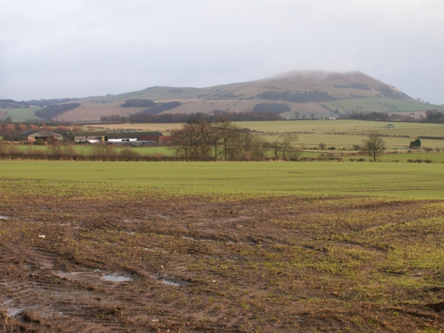
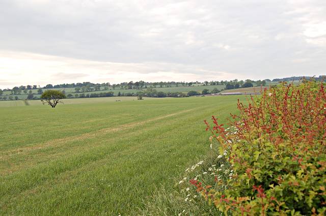
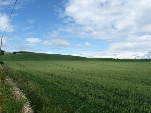
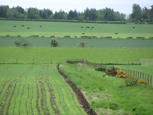
Carlhurlie Reservoir is a freshwater body located in Fife, Scotland. It is situated near the town of Cupar and covers an area of approximately 51 hectares. The reservoir serves as a vital water source for the surrounding communities and also provides recreational opportunities for locals and visitors alike.
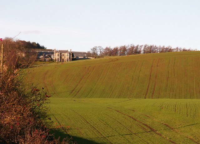
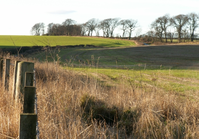
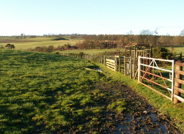
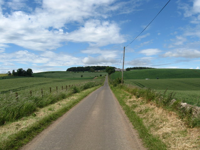
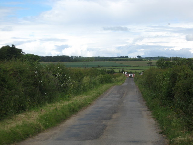
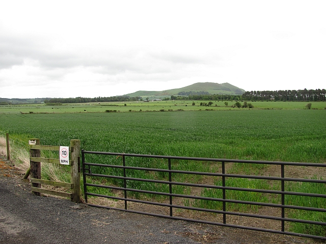
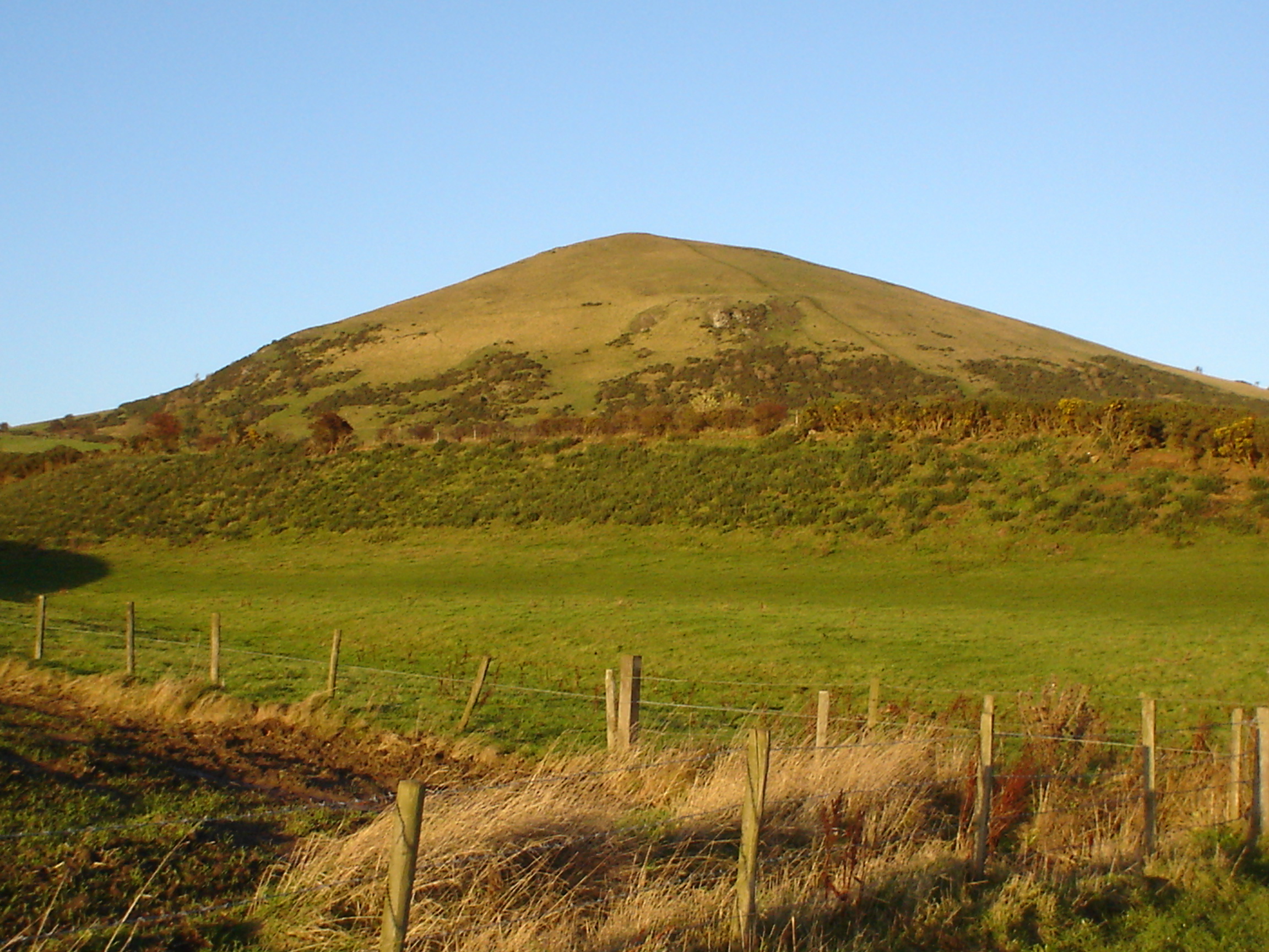
The reservoir is surrounded by beautiful natural landscapes, with rolling hills and dense vegetation. The water body itself is relatively shallow, with an average depth of around 5 meters. It is mainly fed by small streams and rainfall, ensuring a constant supply of freshwater.
The reservoir is home to a diverse range of flora and fauna. The surrounding vegetation includes reeds, rushes, and various types of aquatic plants that thrive in the marshy areas. These plants provide important habitats for numerous bird species, such as swans, ducks, and herons. The reservoir also supports a healthy population of fish, including brown trout and perch.
Recreational activities at Carlhurlie Reservoir are popular throughout the year. Fishing enthusiasts can enjoy angling for trout and perch, while birdwatchers can spot a variety of avian species in their natural habitat. The reservoir is also a great spot for leisurely walks, picnics, and photography.
In conclusion, Carlhurlie Reservoir is a picturesque freshwater body in Fife, Scotland, offering both essential water resources and recreational opportunities. Its diverse ecosystem and stunning natural surroundings make it a popular destination for nature lovers and outdoor enthusiasts.
If you have any feedback on the listing, please let us know in the comments section below.
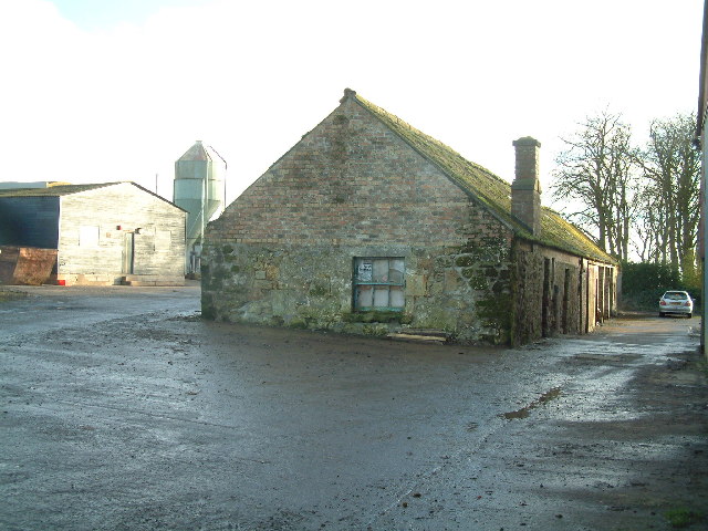
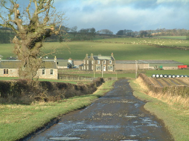
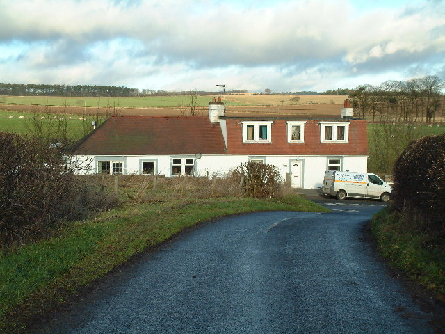
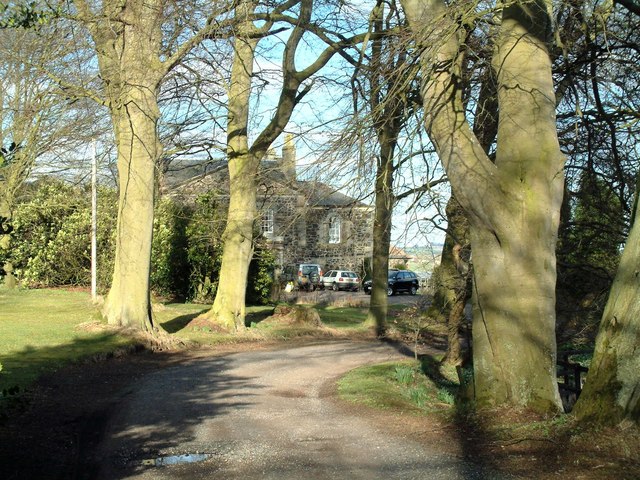
Carlhurlie Reservoir Images
Images are sourced within 2km of 56.233144/-2.9780143 or Grid Reference NO3904. Thanks to Geograph Open Source API. All images are credited.
Carlhurlie Reservoir is located at Grid Ref: NO3904 (Lat: 56.233144, Lng: -2.9780143)
Unitary Authority: Fife
Police Authority: Fife
What 3 Words
///factually.cutlets.brush. Near Lundin Links, Fife
Nearby Locations
Related Wikis

Lundin Links
Lundin Links is a small village in the parish of Largo on the south coast of Fife in eastern central Scotland. The village was largely built in the 19th...
Lundin Links railway station
Lundin Links railway station served the village of Lundin Links, Fife, Scotland from 1857 to 1965 on the Fife Coast Railway. == History == The station...
Largo, Fife
Largo (Scottish Gaelic: An Leargach) is a parish in Fife, Scotland containing the villages of Upper Largo or Kirkton of Largo, Lower Largo and Lundin Links...

Lower Largo
Lower Largo or Seatown of Largo is a village in Fife, Scotland, situated on Largo Bay along the north side of the Firth of Forth. It is east of, and contiguous...
Nearby Amenities
Located within 500m of 56.233144,-2.9780143Have you been to Carlhurlie Reservoir?
Leave your review of Carlhurlie Reservoir below (or comments, questions and feedback).