Kiln Wood

Wood, Forest in Midlothian

Scotland

Kiln Wood

B6458 A link between the A7 and A68.
B6458 Credit: Richard Webb

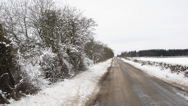
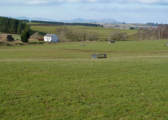
Kiln Wood is a picturesque forest located in the Midlothian region of Scotland. Covering an area of approximately 100 acres, it is known for its natural beauty and diverse wildlife. The wood is predominantly made up of mature oak and beech trees, creating a dense canopy that provides shade and shelter to a variety of flora and fauna.

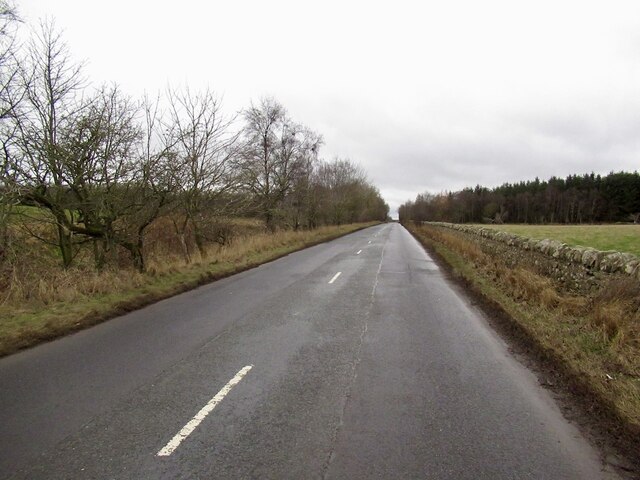
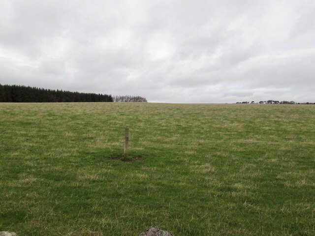
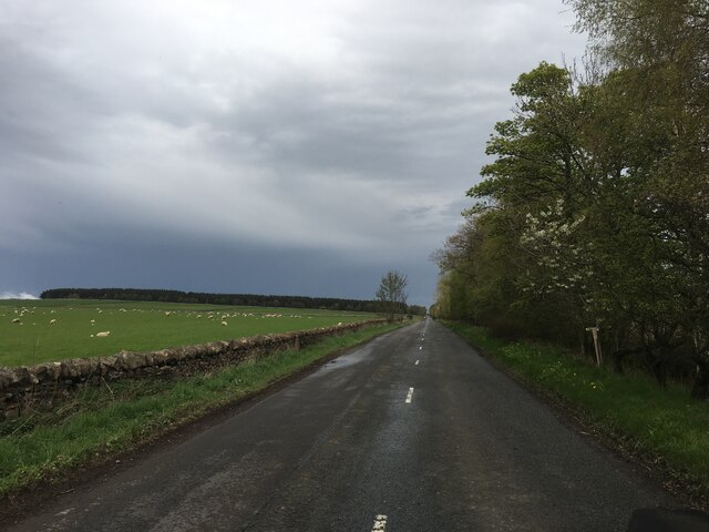
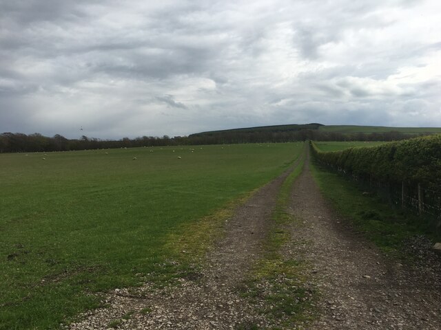
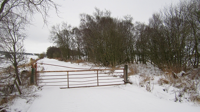
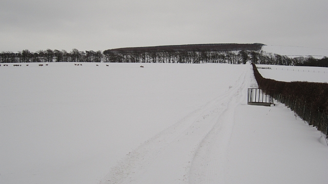
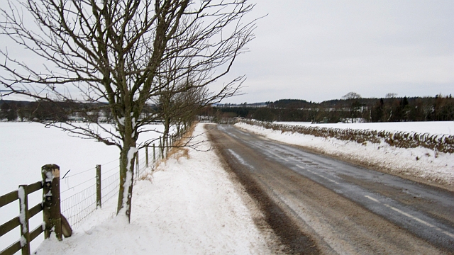
The forest is crisscrossed by a network of well-maintained walking trails, making it a popular destination for nature enthusiasts and hikers. These trails offer breathtaking views of the surrounding countryside and allow visitors to explore the wood at their own pace. The terrain is relatively flat, making it suitable for people of all ages and fitness levels.

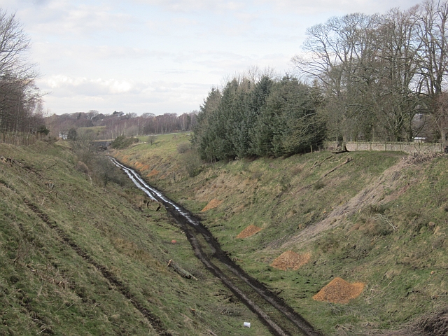
Kiln Wood is home to a rich array of wildlife, including red squirrels, roe deer, and a variety of bird species such as woodpeckers and tawny owls. The forest also boasts a diverse range of plant life, with bluebells, wild garlic, and ferns carpeting the forest floor during the spring and summer months.

The wood has a fascinating history, with remnants of an old kiln still visible in certain parts of the forest. The kiln was used in the past for drying wood and is now a reminder of the area's industrial past.

Overall, Kiln Wood offers visitors a tranquil and immersive experience in the heart of nature. Whether it's for a leisurely stroll or a more adventurous hike, this forest is a hidden gem waiting to be explored.

If you have any feedback on the listing, please let us know in the comments section below.
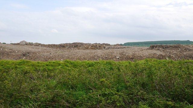
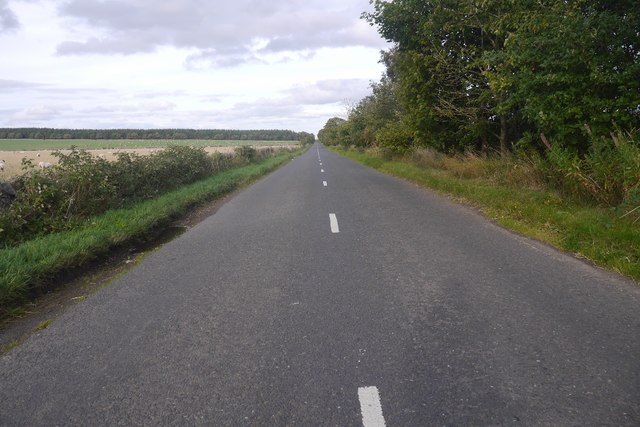
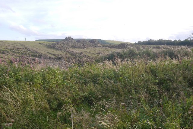
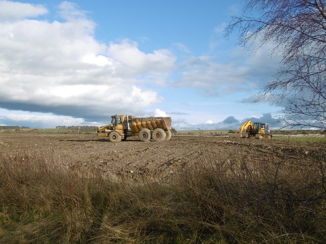
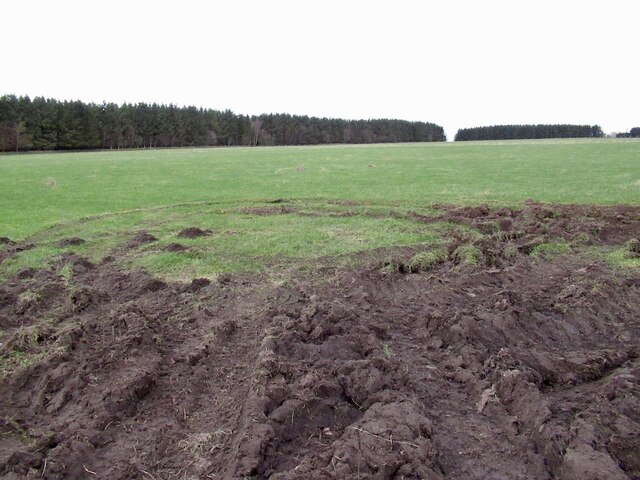
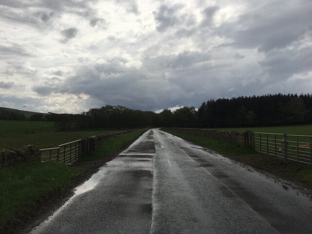
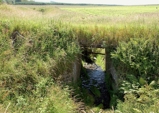
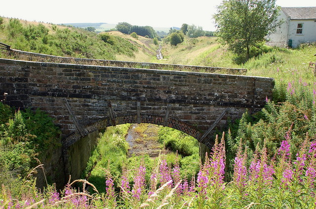
Kiln Wood Images

Images are sourced within 2km of 55.840657/-2.9722392 or Grid Reference NT3961. Thanks to Geograph Open Source API. All images are credited.

B6458 A link between the A7 and A68.
B6458
A link between the A7 and A68.
A big field of the B6458 Often grazed by sheep.
A big field of the B6458
Often grazed by sheep.
B6458 near Tynehead
B6458 near Tynehead
Farm track near Tynehead
Soil dump
Soil dump
B6458 East of Tynehead, a link between the A68 and A7 which is very useful if you live in East Lothian.
B6458
East of Tynehead, a link between the A68 and A7 which is very useful if you live in East Lothian.
Soil dump A tip near Tynehead, presumably to do with the Borders Railway construction, although it does smell at times.
Soil dump
A tip near Tynehead, presumably to do with the Borders Railway construction, although it does smell at times.
Soil dump, Tynehead A lot of soil has been left on former fields. I suspect this is a consequence of the rebuilding and reopening of the railway.
Soil dump, Tynehead
A lot of soil has been left on former fields. I suspect this is a consequence of the rebuilding and reopening of the railway.
Field near  Blackcastle Often grazed by sheep.
Field near Blackcastle
Often grazed by sheep.
B6458 towards Tynehead
The infant Tyne Water The Tyne Water, here little more than a field drain, culverted under a track near the old railway cutting north of Tynehead.
The infant Tyne Water
The Tyne Water, here little more than a field drain, culverted under a track near the old railway cutting north of Tynehead.
Bridge and cutting, Waverley line near Tynehead Plans are advanced to reopen this railway line from Edinburgh to Tweedbank and possibly Galashiels.
Bridge and cutting, Waverley line near Tynehead
Plans are advanced to reopen this railway line from Edinburgh to Tweedbank and possibly Galashiels.
B6458 The road had just been ploughed, although there was not a great deal of snow. I found today that even the small minor roads in the hills were clear - of course this never makes the news. Midlothian can sometimes be tricky in snow, but no problems this time. Thanks everyone.
B6458
The road had just been ploughed, although there was not a great deal of snow. I found today that even the small minor roads in the hills were clear - of course this never makes the news. Midlothian can sometimes be tricky in snow, but no problems this time. Thanks everyone.
Farm road, Blackcastle
A field of hungry sheep The gate was open and a set of fresh quad tracks suggested that a feeding trip was in progress.
A field of hungry sheep
The gate was open and a set of fresh quad tracks suggested that a feeding trip was in progress.
B6458 Freshly ploughed road, approaching Tynehead.  A big effort by Midlothian and Scottish Borders Councils in getting all the roads I used today in good condition.
It probably helped in that the snow is damp and heavy and did not blow across the road. Snow cover was even and I only noticed drifting above 300m.
B6458
Freshly ploughed road, approaching Tynehead. A big effort by Midlothian and Scottish Borders Councils in getting all the roads I used today in good condition. It probably helped in that the snow is damp and heavy and did not blow across the road. Snow cover was even and I only noticed drifting above 300m.
Farmland at Tynehead This was viewed from the B6367 in mid-February.
Farmland at Tynehead
This was viewed from the B6367 in mid-February.
Tynehead Cutting Trees have been cut away from the trackbed as reconstruction of the Waverley Line commences.  Old view: <a href="https://www.geograph.org.uk/photo/546008">NT3959 : Tynehead Cutting</a>
Tynehead Cutting
Trees have been cut away from the trackbed as reconstruction of the Waverley Line commences. Old view: NT3959 : Tynehead Cutting
Show me another place!

Kiln Wood is located at Grid Ref: NT3961 (Lat: 55.840657, Lng: -2.9722392)

Unitary Authority: Midlothian

Police Authority: The Lothians and Scottish Borders

What 3 Words

///logs.buns.concerned. Near Gorebridge, Midlothian

Nearby Locations

Kiln Wood

Related Wikis

Crichton, Midlothian

Crichton is a small village and civil parish in Midlothian, Scotland, around 2 miles (3 km) south of Pathhead and the same distance east of Gorebridge...
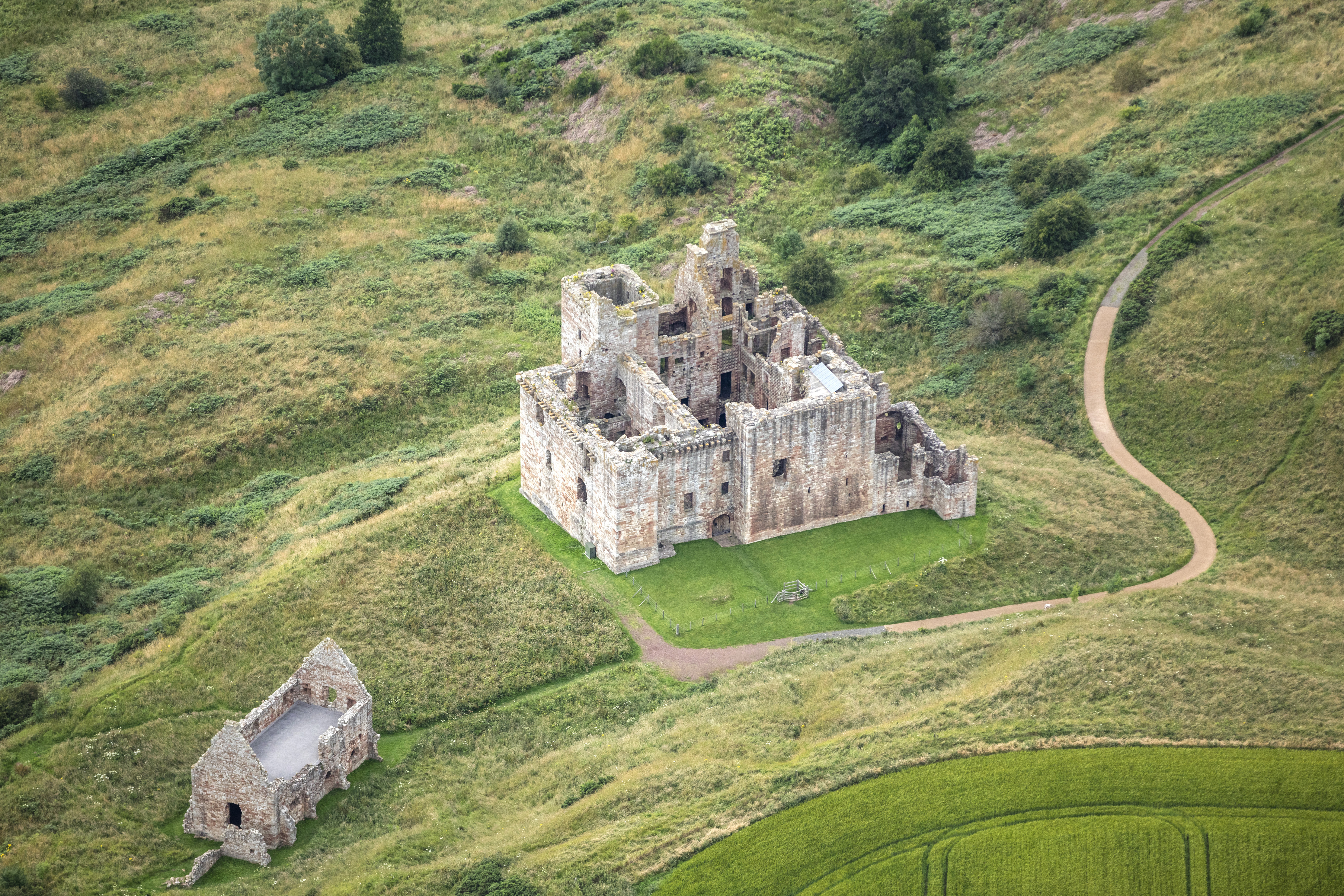
Crichton Castle

Crichton Castle is a ruined castle near the village of Crichton in Midlothian, Scotland. It is situated at the head of the River Tyne, 2 miles (3.2 km...

Crichton Collegiate Church

Crichton Collegiate Church is situated about 0.6 miles (0.97 km) south-west of the hamlet of Crichton in Midlothian, Scotland. == Origins and Pre-Reformation... ==

Tynehead railway station

Tynehead railway station served the village of Pathhead, Midlothian, Scotland from 1848 to 1969 on the Waverley Line. == History == The station opened...

Vogrie House

Vogrie House forms the centrepiece of Vogrie Country Park in Midlothian. It was built for James Dewar and his family in 1876 by Andrew Heiton, the town...

Vogrie Country Park

Vogrie Country Park in Scotland is managed by Midlothian Council. It consists of a woodland estate surrounding the Victorian Vogrie House. It is located...

Borthwick Castle

Borthwick Castle is one of the largest and best-preserved surviving medieval Scottish fortifications. It is located twelve miles (19 km) south-east of...

Cakemuir Castle

Cakemuir Castle is an historic house situated 4 miles (6.4 km) southeast of Pathhead, in the Lammermuir Hills, Midlothian, Scotland. The name may be connected...

Nearby Amenities

Located within 500m of 55.840657,-2.9722392
The data included in this document is from www.openstreetmap.org. The data is made available under ODbL.

Have you been to Kiln Wood?

Leave your review of Kiln Wood below (or comments, questions and feedback).