Byreburn Wood
Wood, Forest in Dumfriesshire
Scotland
Byreburn Wood
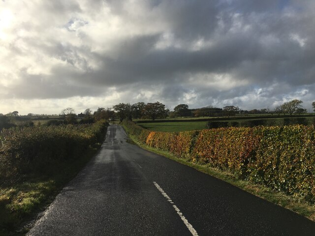
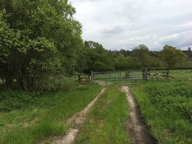
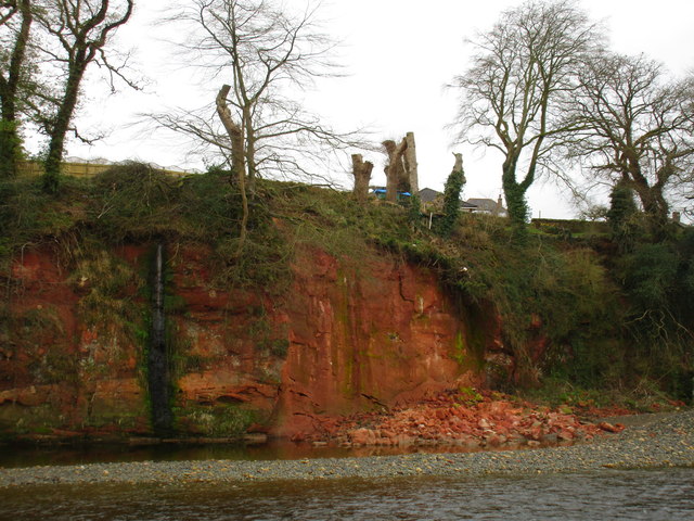
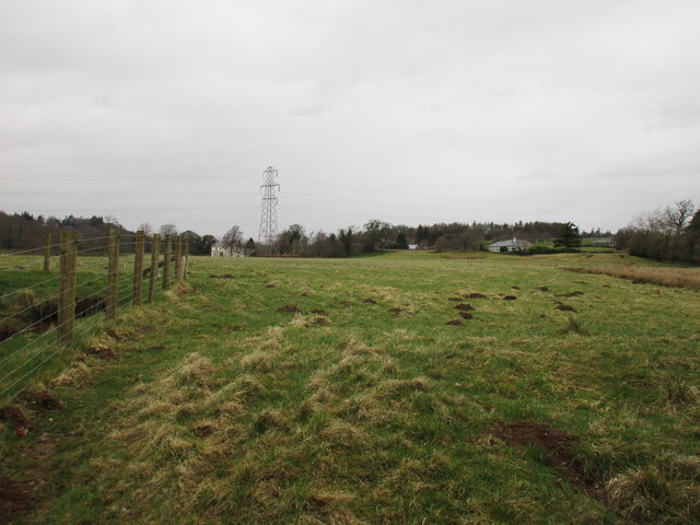
Byreburn Wood is a scenic forest located in Dumfriesshire, Scotland. Covering an area of approximately 200 acres, it is a popular destination for nature enthusiasts and outdoor adventurers. The wood is situated near the village of Ecclefechan, providing easy access for visitors from the surrounding areas.
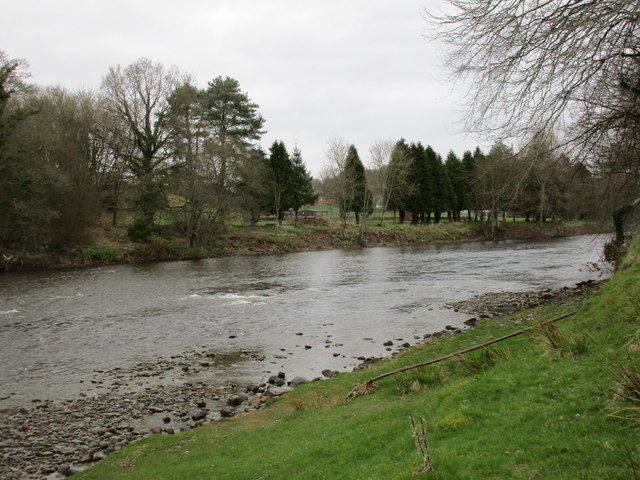
The wood consists mainly of native broadleaf trees, such as oak, birch, and beech, creating a diverse and vibrant ecosystem. The dense canopy provides a sheltered environment for numerous bird species, including woodpeckers, owls, and thrushes. Wildlife enthusiasts can also spot red squirrels, rabbits, and various species of butterflies and insects.
The wood is crisscrossed by a network of well-maintained footpaths and trails, allowing visitors to explore the area at their leisure. Walking through Byreburn Wood offers a peaceful and tranquil experience, with the sounds of birdsong and the rustling of leaves providing a soothing backdrop.
The wood also boasts a small picnic area, where visitors can relax and enjoy a packed lunch amidst the natural beauty. Additionally, there are several viewpoints within the wood that offer stunning vistas of the surrounding countryside, providing ample opportunities for photography and contemplation.
Byreburn Wood is managed by a local conservation organization, ensuring the preservation of its natural features and promoting biodiversity. Educational activities and guided nature walks are occasionally organized in the wood, providing visitors with a deeper understanding of the local flora and fauna.
Overall, Byreburn Wood is a picturesque and serene forest, offering a haven for nature lovers and a peaceful retreat from the hustle and bustle of everyday life.
If you have any feedback on the listing, please let us know in the comments section below.
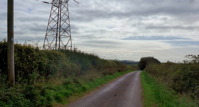
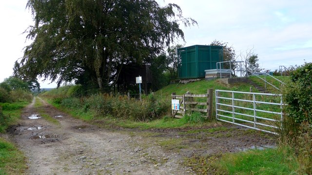
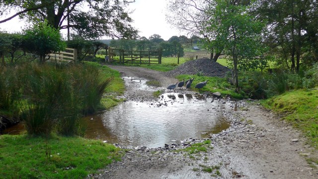
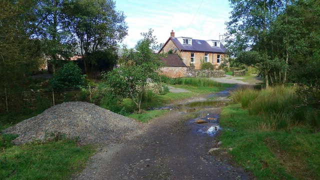
Byreburn Wood Images
Images are sourced within 2km of 55.093764/-2.95423 or Grid Reference NY3978. Thanks to Geograph Open Source API. All images are credited.
Byreburn Wood is located at Grid Ref: NY3978 (Lat: 55.093764, Lng: -2.95423)
Unitary Authority: Dumfries and Galloway
Police Authority: Dumfries and Galloway
What 3 Words
///boat.drifters.register. Near Langholm, Dumfries & Galloway
Nearby Locations
Related Wikis

Fairy Loup
Fairy Loup is a waterfall located on Byre Burn, a tributary of River Esk, in Dumfries and Galloway, Scotland.The waterfall's name originates in a local...

Gilnockie railway station
Gilnockie railway station served the hamlet of Hollows, Dumfries and Galloway, Scotland from 1864 to 1967 on the Border Union Railway. == History == The...
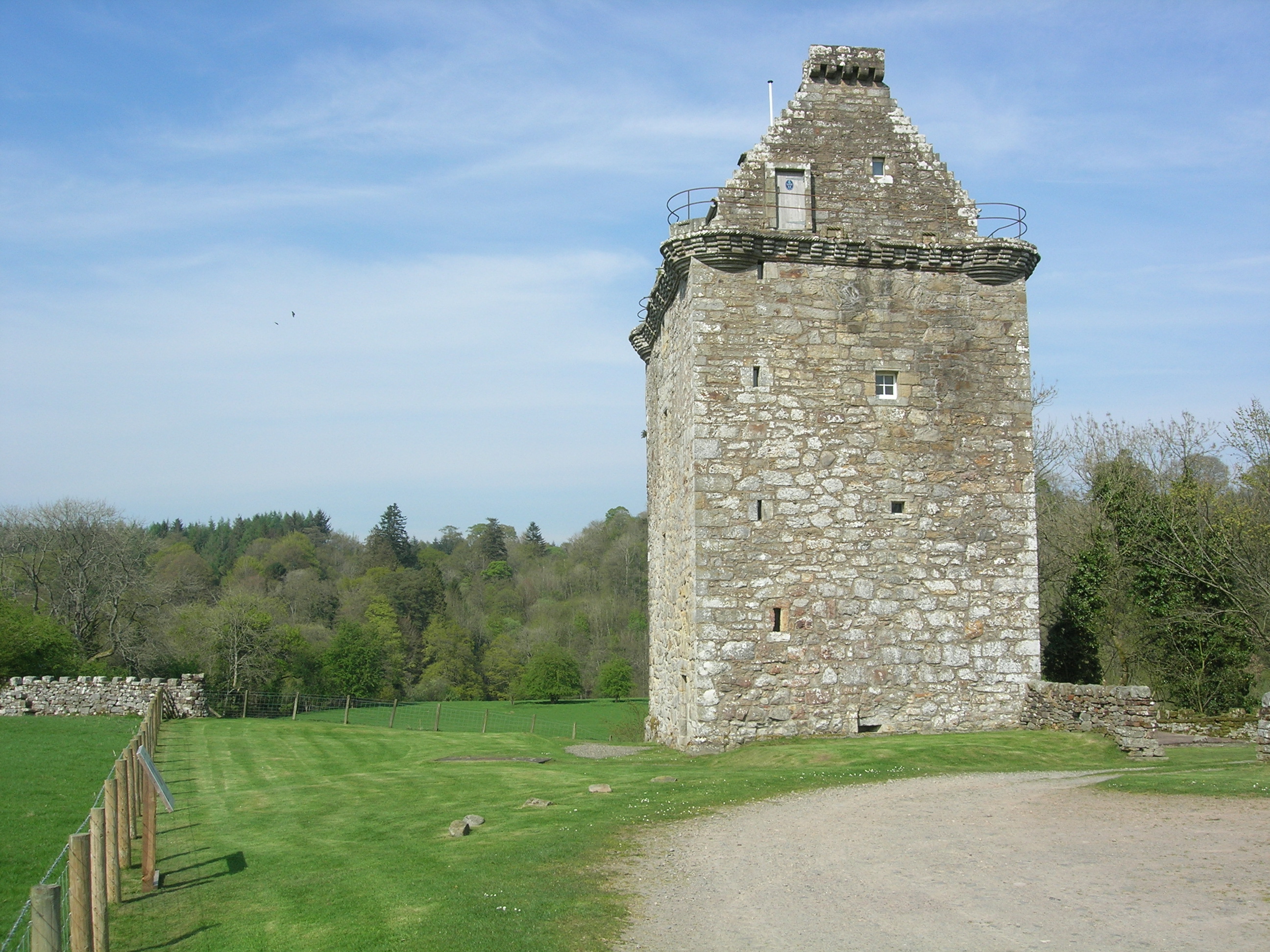
Gilnockie Tower
Gilnockie Tower is a 16th-century tower house, located at the hamlet of Hollows, 2.3 km north of Canonbie, in Dumfriesshire, south-west Scotland. The tower...
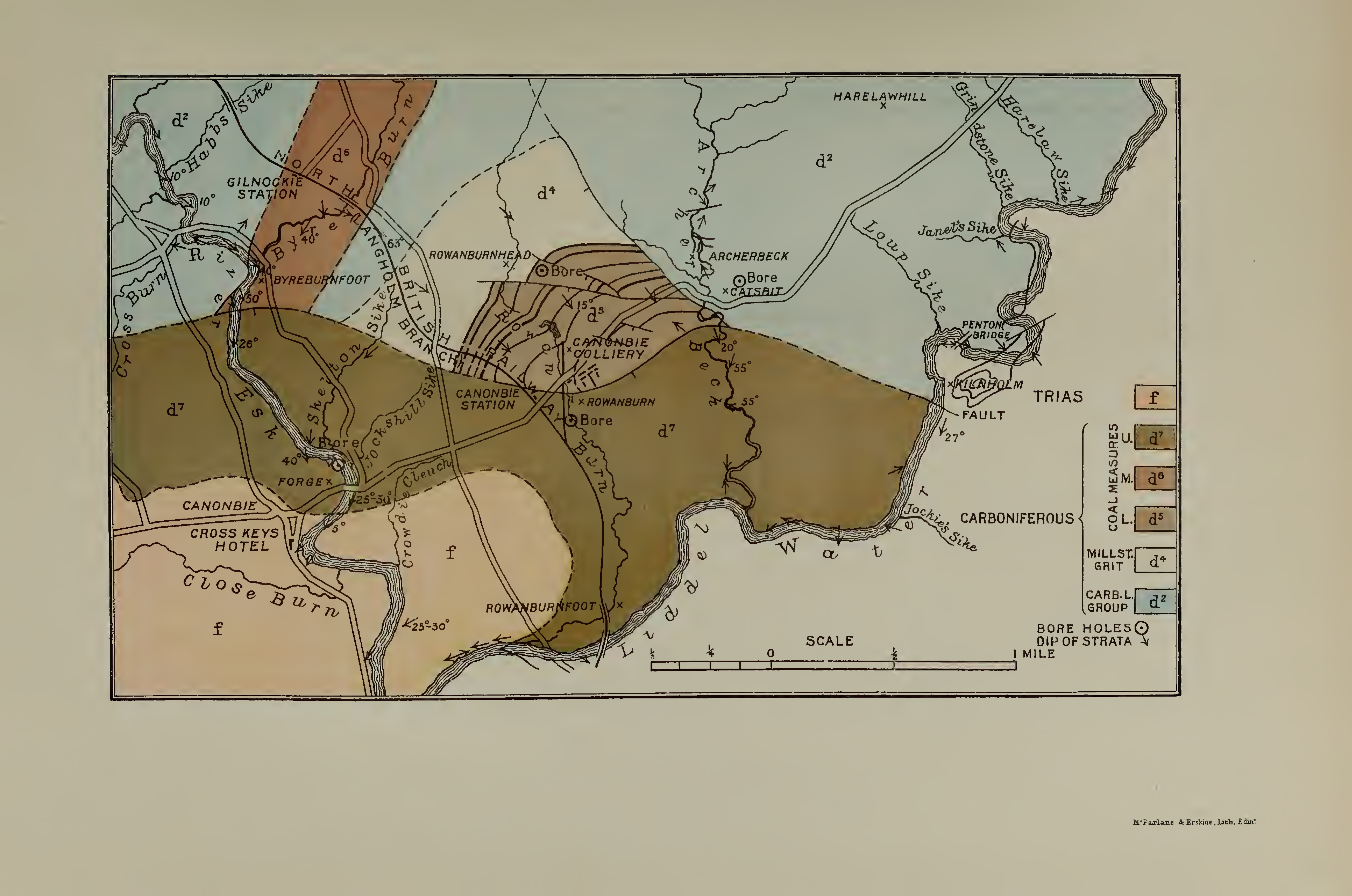
Canonbie Coalfield
The Canonbie Coalfield is a small and largely concealed coalfield at Canonbie in the south of Scotland. A comprehensive survey by Peach and Horne was published...
Glencartholm
Glencartholm is a location in Dumfries and Galloway, southern Scotland, along the River Esk.The Glencartholm Volcanic Beds contain a Palaeozoic (specifically...
Canonbie
Canonbie (Scottish Gaelic: Canonbaidh) is a small village in Dumfriesshire within the local authority area of Dumfries and Galloway in Scotland, 6 miles...
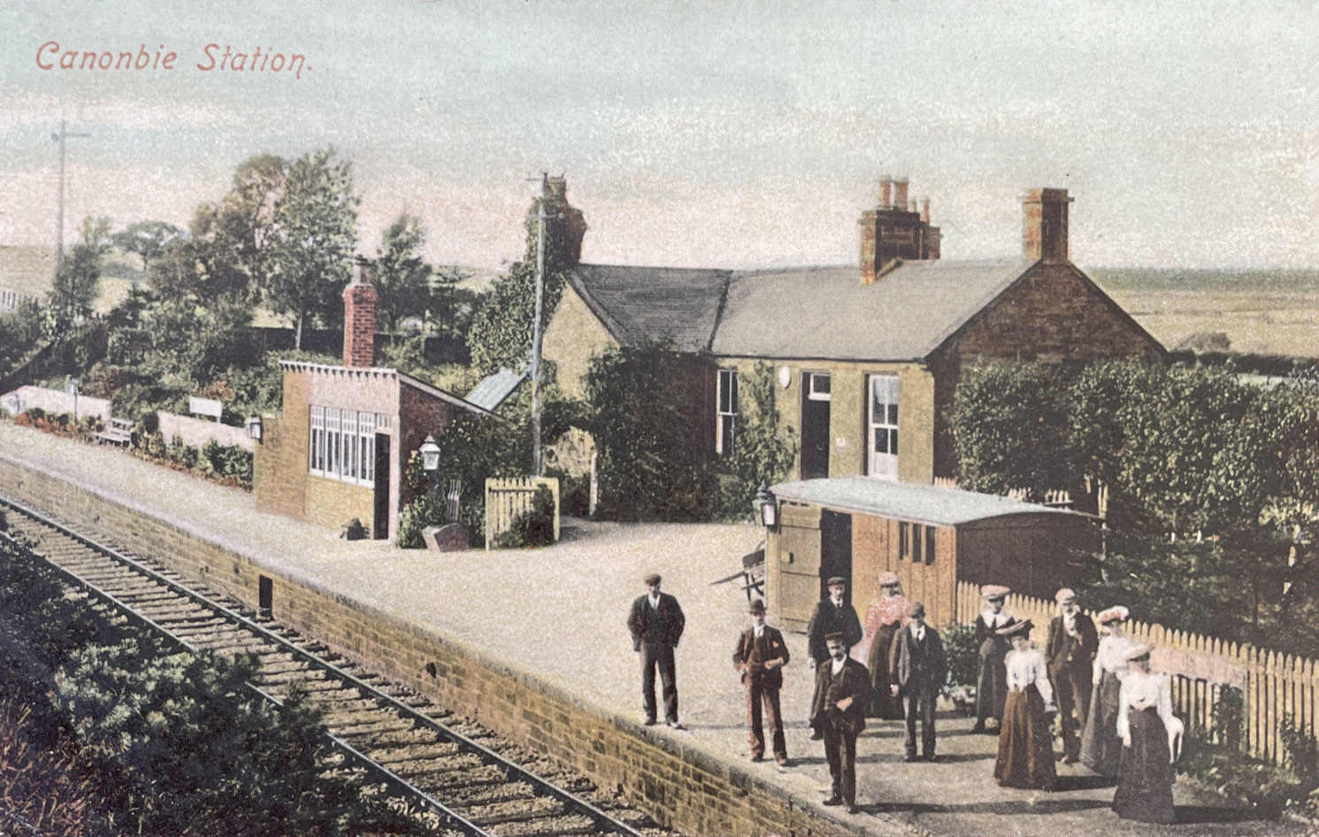
Canonbie railway station
Canonbie railway station served the village of Canonbie, Dumfries and Galloway, Scotland from 1862 to 1967 on the Border Union Railway. == History == The...
Rowanburn
Rowanburn is a hamlet in Eskdale, Dumfries and Galloway, Scotland. Located near Canonbie, it sits around 5 miles south-east of Langholm and about a mile...
Nearby Amenities
Located within 500m of 55.093764,-2.95423Have you been to Byreburn Wood?
Leave your review of Byreburn Wood below (or comments, questions and feedback).