Pigeon Wood
Wood, Forest in Banffshire
Scotland
Pigeon Wood
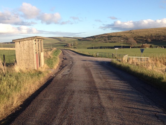
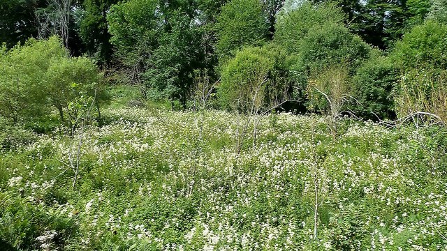
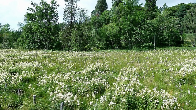
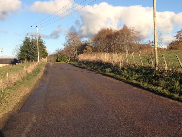
Pigeon Wood is a picturesque woodland located in Banffshire, a historic county in northeastern Scotland. Covering an area of approximately 20 acres, this enchanting forest is nestled amidst the stunning countryside, offering visitors a serene and tranquil escape from the bustling city life.
The wood is named after the abundant population of wood pigeons that inhabit the area, adding to its natural charm and biodiversity. It is renowned for its diverse range of tree species, including oak, birch, and beech, which create a lush and verdant canopy overhead. The forest floor is carpeted with a rich tapestry of wildflowers, ferns, and mosses, creating a vibrant and colorful undergrowth.
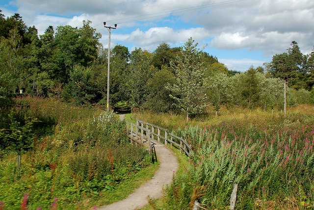
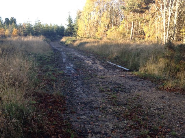
Pigeon Wood boasts a network of well-maintained walking trails, allowing visitors to explore its beauty at their own pace. The paths wind through the wood, meandering alongside babbling brooks and leading to hidden clearings, offering breathtaking views of the surrounding countryside.
Wildlife enthusiasts will delight in the abundance of animal and bird species that call Pigeon Wood their home. Red squirrels can be spotted darting through the trees, while deer and rabbits can often be seen grazing in the clearings. Birdwatchers can enjoy the melodic songs of various woodland birds, such as thrushes, robins, and chaffinches.
Pigeon Wood is a popular destination for nature lovers, photographers, and families seeking a peaceful retreat in the heart of nature. Its natural beauty, tranquil ambiance, and diverse ecosystem make it a must-visit destination for anyone exploring the Banffshire region.
If you have any feedback on the listing, please let us know in the comments section below.
Pigeon Wood Images
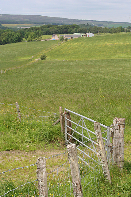
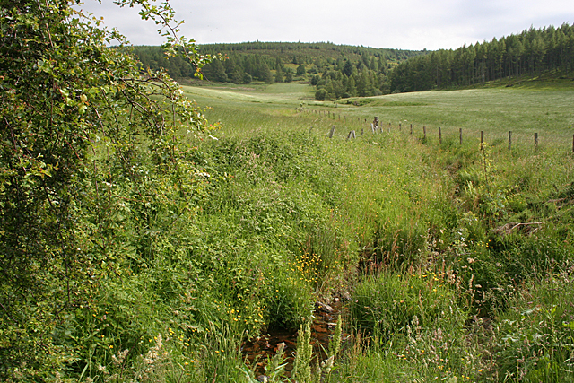
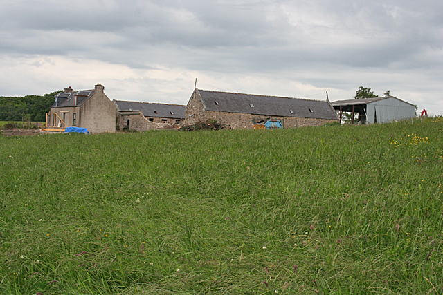
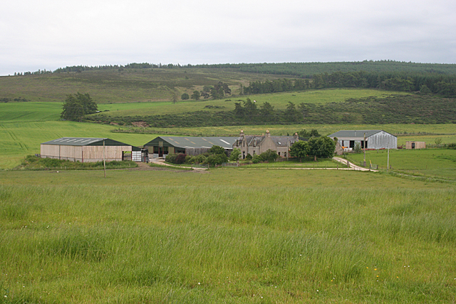
Images are sourced within 2km of 57.482556/-3.0194334 or Grid Reference NJ3844. Thanks to Geograph Open Source API. All images are credited.
Pigeon Wood is located at Grid Ref: NJ3844 (Lat: 57.482556, Lng: -3.0194334)
Unitary Authority: Moray
Police Authority: North East
What 3 Words
///motels.merge.uppermost. Near Keith, Moray
Nearby Locations
Related Wikis

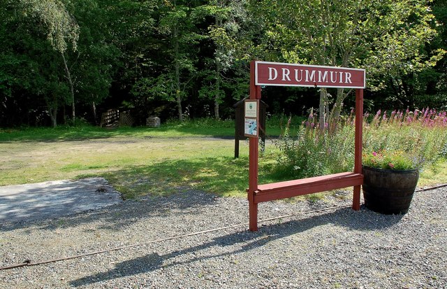
Drummuir
Drummuir (Scottish Gaelic: Druim Iubhair) is a small village in Scotland, in the traditional county of Banffshire, and in the Moray council area. It is...

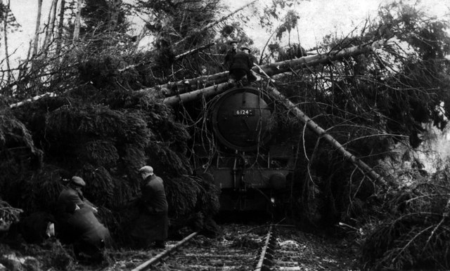
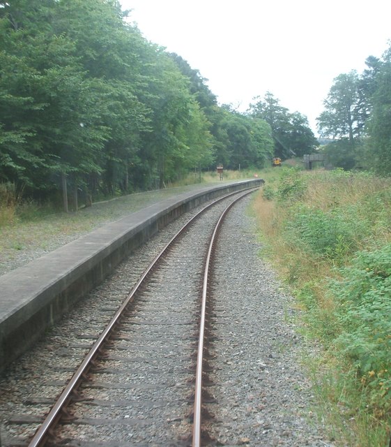
Drummuir railway station
Drummuir railway station is a preserved station that serves the village of Drummuir, Moray, Scotland on the Keith and Dufftown Railway. The station also...
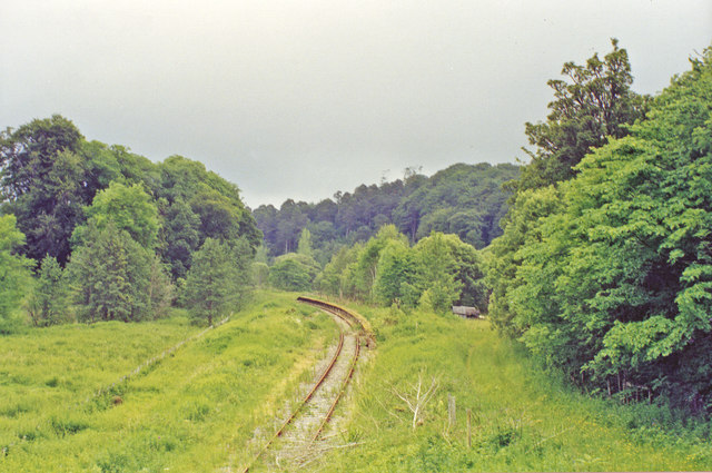
Towiemore Halt railway station
Towiemore Halt railway station served the hamlet of Towiemore and its distillery as a private and later as a public halt in Moray, Scotland, from 1937...

Drummuir Curlers' Platform railway station
Drummuir Curlers' Platform railway station was a private station opened on the Keith and Dufftown Railway for the use of the curlers belonging to the Drummuir...
Nearby Amenities
Located within 500m of 57.482556,-3.0194334Have you been to Pigeon Wood?
Leave your review of Pigeon Wood below (or comments, questions and feedback).