Drummuir
Settlement in Banffshire
Scotland
Drummuir
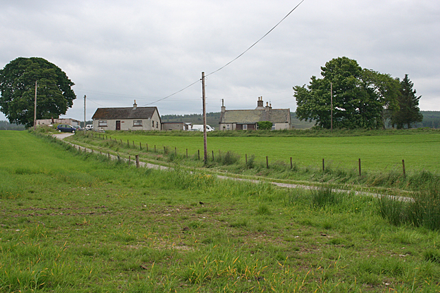
Drummuir is a small village located in the historic county of Banffshire, Scotland. Situated in the north-eastern part of the country, it lies about 7 miles south of the town of Keith. With a population of around 150 inhabitants, it is a tight-knit community that enjoys a peaceful and picturesque setting.
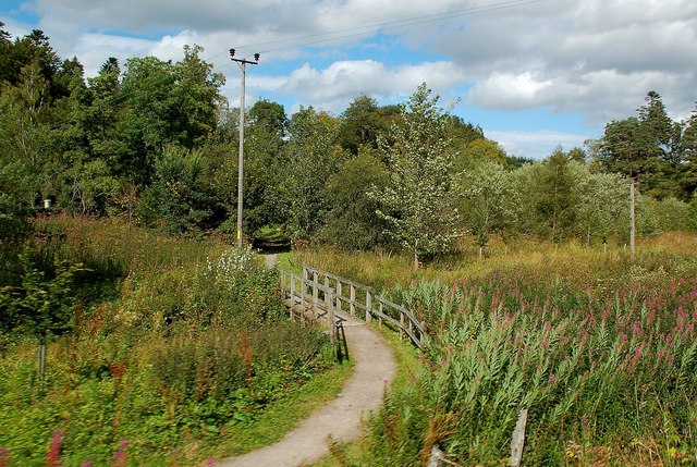
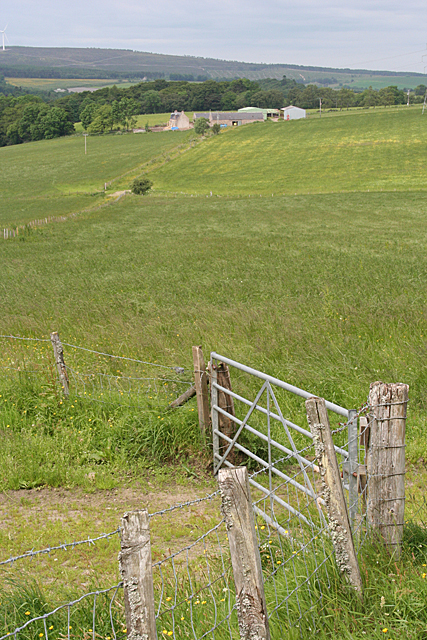
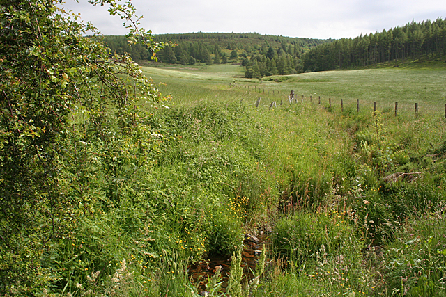
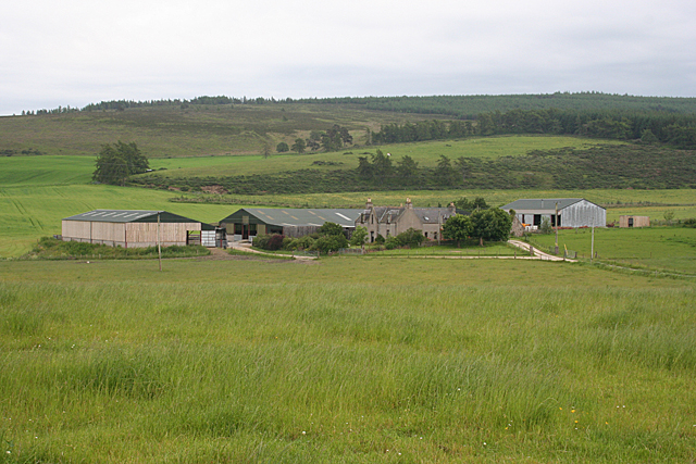
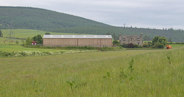
The village is known for its stunning natural beauty, surrounded by rolling hills, lush green fields, and a charming countryside landscape. It offers a sense of tranquility and an escape from the hustle and bustle of city life. The nearby River Isla adds to the idyllic scenery, providing opportunities for fishing and leisurely walks along its banks.
Drummuir is home to a few notable landmarks, including the grand Drummuir Castle. The castle, built in the 19th century, is an impressive structure that stands as a testament to the area's rich history. It is privately owned and not open to the public, but its presence adds a touch of grandeur to the village.
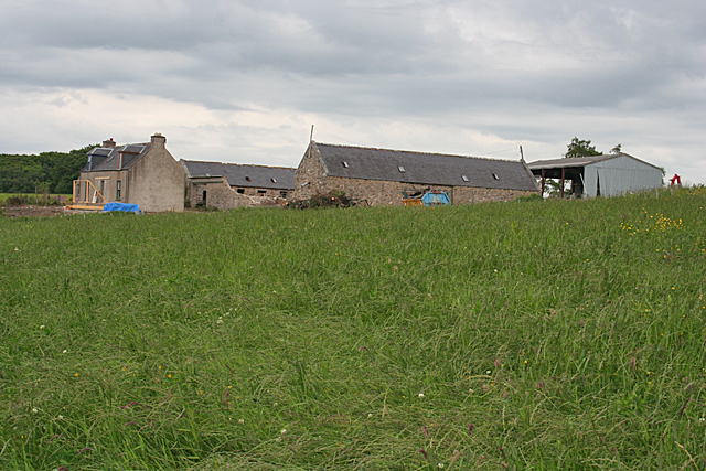
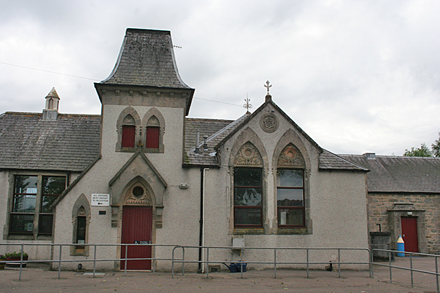
Despite its small size, Drummuir has a strong sense of community. The village has a primary school, which serves the local children, and a village hall that hosts various events and activities throughout the year. The residents also take pride in their well-maintained gardens and charming stone houses, which contribute to the village's overall aesthetic appeal.
In summary, Drummuir is a quaint village nestled in the scenic Banffshire countryside. It offers a peaceful retreat for residents and visitors alike, boasting natural beauty and a close-knit community.
If you have any feedback on the listing, please let us know in the comments section below.
Drummuir Images
Images are sourced within 2km of 57.483689/-3.035277 or Grid Reference NJ3844. Thanks to Geograph Open Source API. All images are credited.


Drummuir is located at Grid Ref: NJ3844 (Lat: 57.483689, Lng: -3.035277)
Unitary Authority: Moray
Police Authority: North East
What 3 Words
///yards.sometimes.ships. Near Dufftown, Moray
Nearby Locations
Related Wikis

Drummuir
Drummuir (Scottish Gaelic: Druim Iubhair) is a small village in Scotland, in the traditional county of Banffshire, and in the Moray council area. It is...

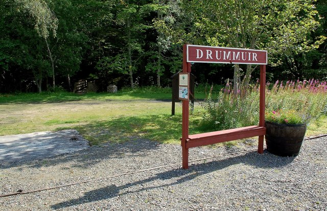
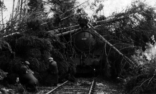
Drummuir railway station
Drummuir railway station is a preserved station that serves the village of Drummuir, Moray, Scotland on the Keith and Dufftown Railway. The station also...
Towiemore Halt railway station
Towiemore Halt railway station served the hamlet of Towiemore and its distillery as a private and later as a public halt in Moray, Scotland, from 1937...

Drummuir Curlers' Platform railway station
Drummuir Curlers' Platform railway station was a private station opened on the Keith and Dufftown Railway for the use of the curlers belonging to the Drummuir...
Nearby Amenities
Located within 500m of 57.483689,-3.035277Have you been to Drummuir?
Leave your review of Drummuir below (or comments, questions and feedback).