Ardgaithnie Wood
Wood, Forest in Banffshire
Scotland
Ardgaithnie Wood
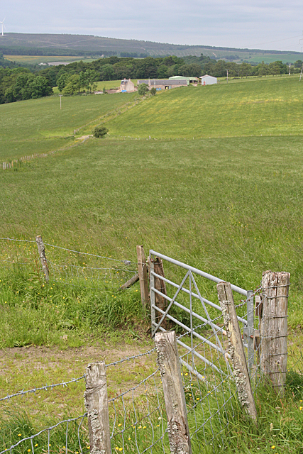
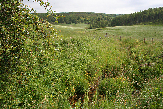
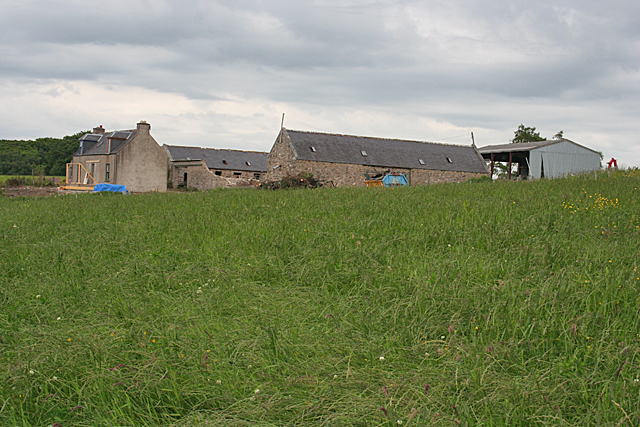
Ardgaithnie Wood, located in Banffshire, Scotland, is a picturesque woodland area renowned for its natural beauty and diverse wildlife. Covering an area of approximately 500 hectares, the wood is situated on the slopes of the Hill of Ardgaithnie, offering visitors stunning panoramic views of the surrounding countryside.
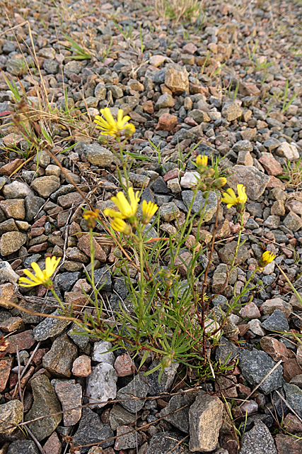
The wood is predominantly composed of mixed broadleaf trees, including oak, birch, and beech, creating a rich and varied habitat for numerous species of flora and fauna. The dense canopy provides shelter for a wide range of bird species, such as woodpeckers, owls, and warblers, making it a popular destination for birdwatching enthusiasts.
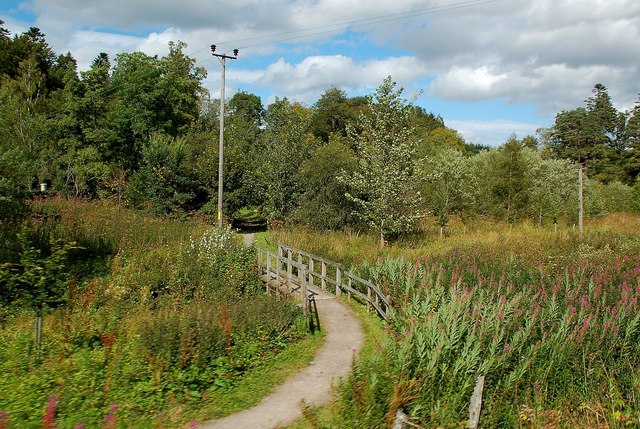
Several well-maintained walking trails wind their way through Ardgaithnie Wood, allowing visitors to explore its natural wonders at their own pace. Along these pathways, one can encounter a diverse range of wildlife, including red squirrels, roe deer, and a variety of butterflies and dragonflies.
The wood also holds historical significance, with remnants of ancient settlements and burial sites dating back thousands of years. Archaeological surveys have uncovered evidence of Neolithic and Bronze Age occupation, adding an extra layer of intrigue and fascination for those interested in the region's history.
Ardgaithnie Wood serves as an important educational resource, with guided nature walks and informative signage providing visitors with insights into the area's ecology and conservation efforts. It is a popular destination for nature lovers, hikers, and families looking to immerse themselves in the tranquility and natural wonders of the Scottish countryside.
If you have any feedback on the listing, please let us know in the comments section below.
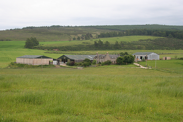
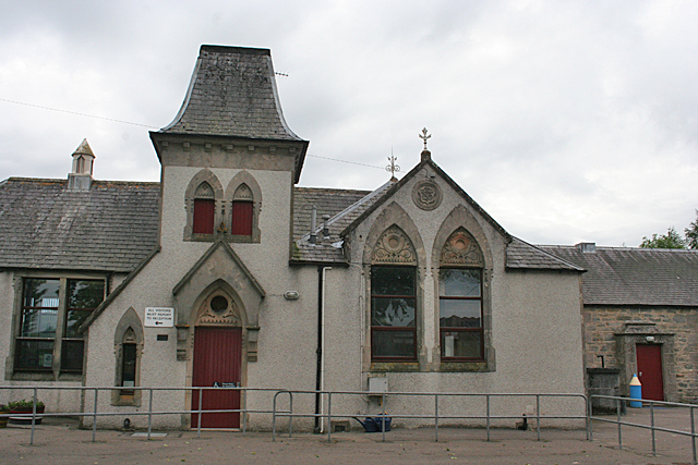
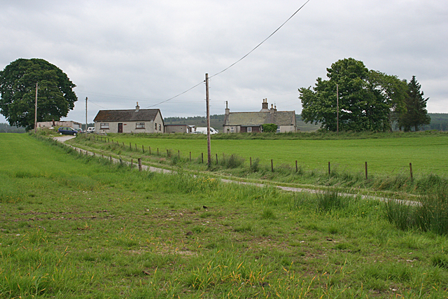
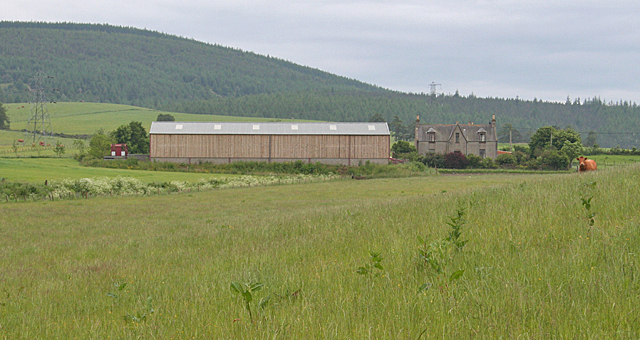
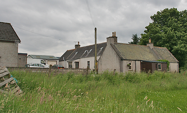
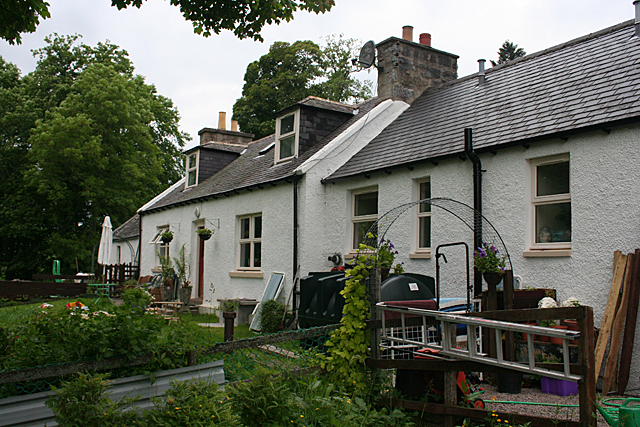
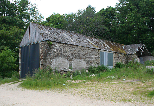
Ardgaithnie Wood Images
Images are sourced within 2km of 57.48752/-3.0353351 or Grid Reference NJ3844. Thanks to Geograph Open Source API. All images are credited.


Ardgaithnie Wood is located at Grid Ref: NJ3844 (Lat: 57.48752, Lng: -3.0353351)
Unitary Authority: Moray
Police Authority: North East
What 3 Words
///loss.secretly.looms. Near Dufftown, Moray
Nearby Locations
Related Wikis

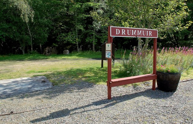
Drummuir
Drummuir (Scottish Gaelic: Druim Iubhair) is a small village in Scotland, in the traditional county of Banffshire, and in the Moray council area. It is...

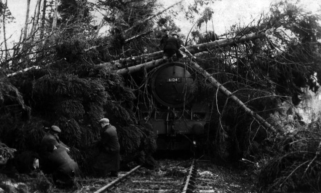
Drummuir railway station
Drummuir railway station is a preserved station that serves the village of Drummuir, Moray, Scotland on the Keith and Dufftown Railway. The station also...
Towiemore Halt railway station
Towiemore Halt railway station served the hamlet of Towiemore and its distillery as a private and later as a public halt in Moray, Scotland, from 1937...

Drummuir Curlers' Platform railway station
Drummuir Curlers' Platform railway station was a private station opened on the Keith and Dufftown Railway for the use of the curlers belonging to the Drummuir...

Banffshire
Banffshire (; Scots: Coontie o Banffshire; Scottish Gaelic: Siorrachd Bhanbh) is a historic county, registration county and lieutenancy area of Scotland...

Mill of Towie
The Mill of Towie is a nineteenth-century mill building, with an attached kiln, situated close the River Isla, approximately 2 miles (3.2 km) south of...

Auchindachy railway station
Auchindachy railway station served the village of Auchindachy in Scotland. Served by the Keith and Dufftown railway, it was the last station before Keith...
Auchindoun, Moray
Auchindoun (Scottish Gaelic: Achadh an Dùin) is a rural hamlet in Moray, Scotland. It is located some 2.5 miles east of Dufftown, which describes itself...
Nearby Amenities
Located within 500m of 57.48752,-3.0353351Have you been to Ardgaithnie Wood?
Leave your review of Ardgaithnie Wood below (or comments, questions and feedback).