Migvie Wood
Wood, Forest in Angus
Scotland
Migvie Wood
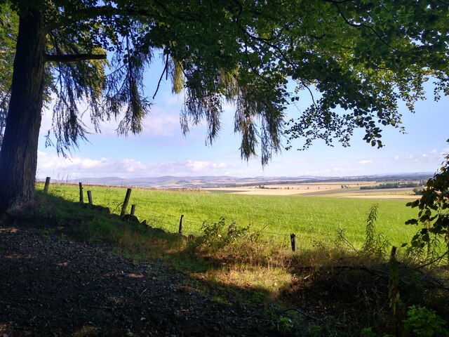
Migvie Wood, located in Angus, Scotland, is a picturesque forest that covers an area of approximately 500 acres. This ancient woodland offers a serene and tranquil escape, attracting nature lovers and outdoor enthusiasts alike.
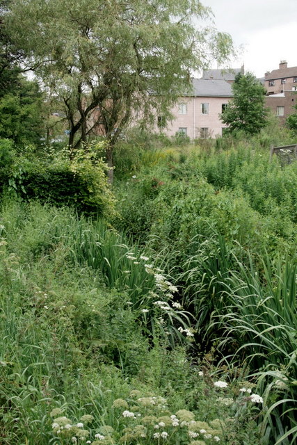
The wood is predominantly composed of native species such as oak, birch, and rowan, creating a diverse and thriving ecosystem. The dense canopy provides shelter for a wide range of wildlife, including red squirrels, roe deer, and a variety of bird species. Migvie Wood is particularly renowned for its vibrant birdlife, with regular sightings of woodpeckers, buzzards, and owls.
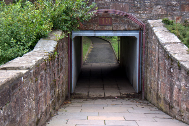
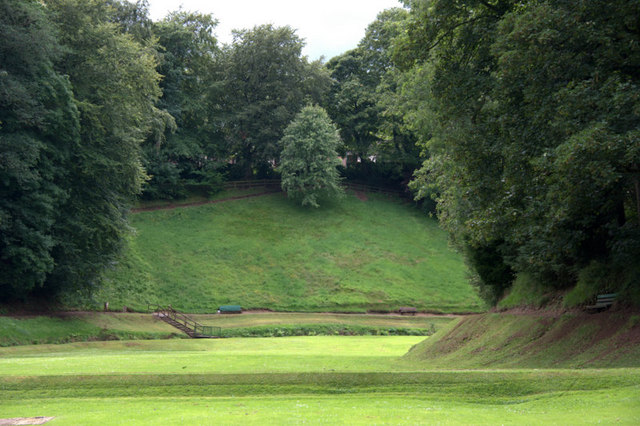
Visitors to Migvie Wood can explore its network of well-maintained trails that wind through the forest, offering stunning views of the surrounding countryside. The paths are suitable for both walkers and cyclists, providing an opportunity to immerse oneself in the natural beauty of the area.
In addition to its natural charm, Migvie Wood also boasts historical significance. The wood is home to the remains of a Pictish fort, dating back over a thousand years. This archaeological site adds a layer of intrigue to the experience, allowing visitors to connect with the rich history of the area.
Migvie Wood is a popular destination for nature walks, birdwatching, and photography. Its peaceful atmosphere, diverse wildlife, and historical allure make it a must-visit location for those seeking a true Scottish woodland experience.
If you have any feedback on the listing, please let us know in the comments section below.
Migvie Wood Images
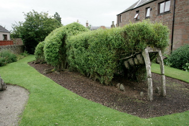
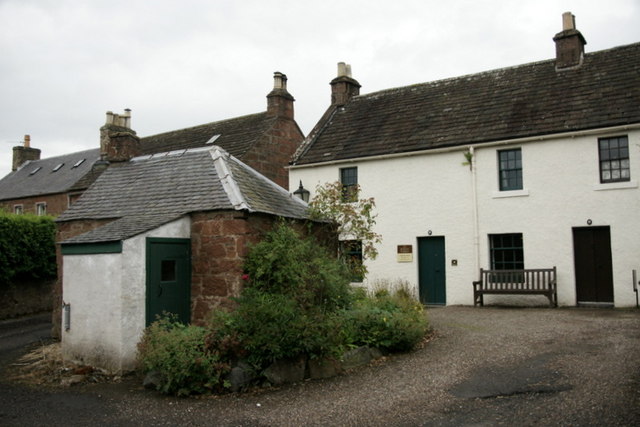
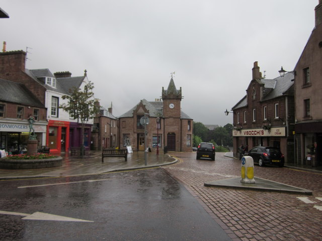
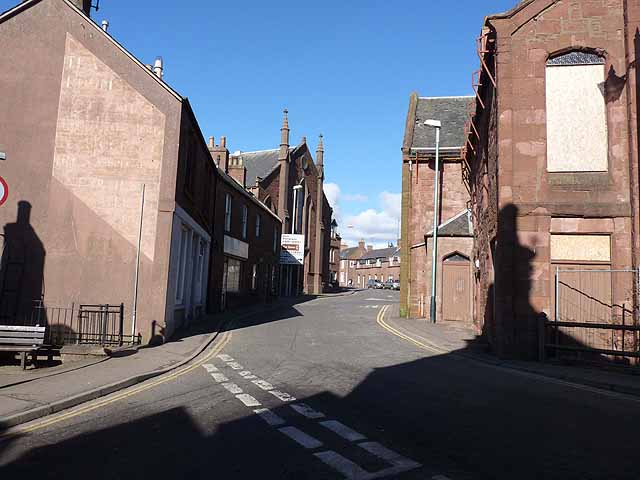
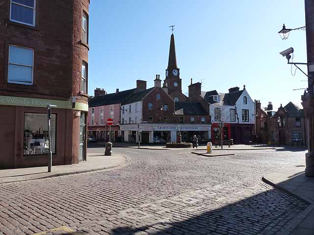
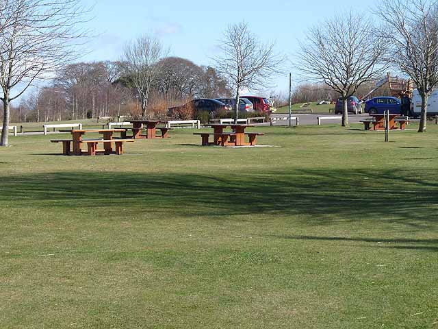
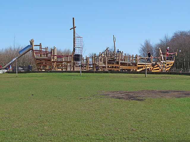
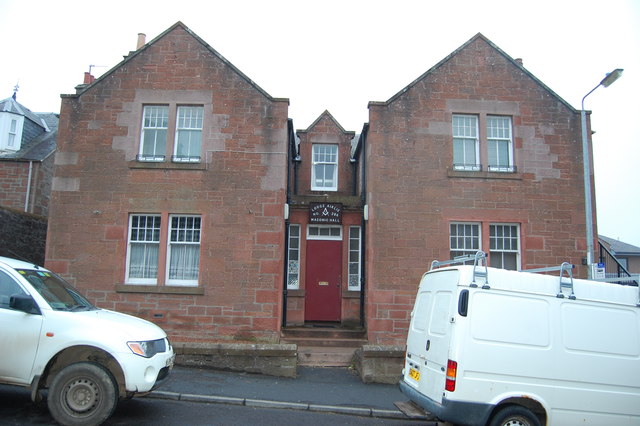
Images are sourced within 2km of 56.685051/-2.9979441 or Grid Reference NO3855. Thanks to Geograph Open Source API. All images are credited.


Migvie Wood is located at Grid Ref: NO3855 (Lat: 56.685051, Lng: -2.9979441)
Unitary Authority: Angus
Police Authority: Tayside
What 3 Words
///vessel.rephrase.invent. Near Kirriemuir, Angus
Nearby Locations
Related Wikis
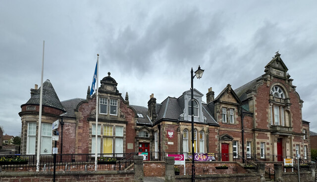
Kirriemuir Town Hall
Kirriemuir Town Hall is a municipal structure in Reform Street in Kirriemuir, Angus, Scotland. The structure, which is used as a community events venue...

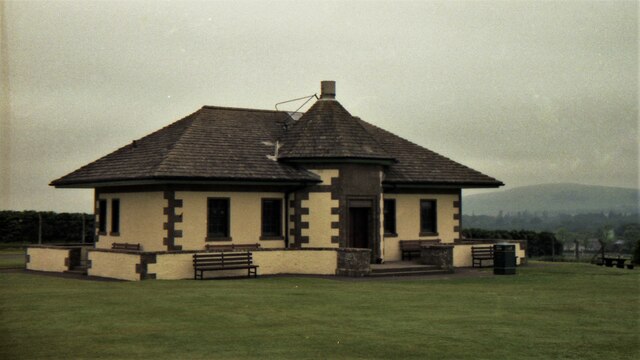
Kirriemuir railway station
Kirriemuir railway station served the burgh of Kirriemuir, Angus, Scotland from 1861 to 1965 on the Scottish Midland Junction Railway. == History == The...

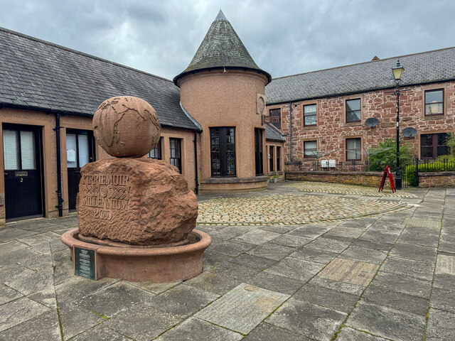
Kirriemuir Town House
Kirriemuir Town House is a municipal structure in the High Street in Kirriemuir, Angus, Scotland. The structure, which is used as a museum, is a Category...
Webster's High School
Webster's High School is a secondary school in Kirriemuir, Angus, Scotland. The school has run for over 150 years, and there are over 650 pupils in the...
Nearby Amenities
Located within 500m of 56.685051,-2.9979441Have you been to Migvie Wood?
Leave your review of Migvie Wood below (or comments, questions and feedback).