Caddam Wood

Wood, Forest in Angus

Scotland

Caddam Wood

Footbridge over Gairie Burn This is also the point where three paths meet - one to the parking area at Loch of Kinnordy (to the right), one towards Kirrimuir (to the left), and the third one is coming from the marshy area on the east side of the loch.
Footbridge over Gairie Burn Credit: Aleks Scholz

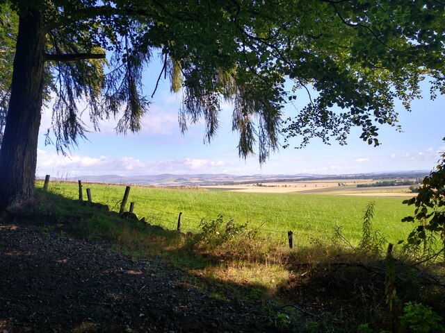
Caddam Wood is a sprawling forest located in Angus, Scotland. Situated near the village of Glamis, it covers an area of approximately 800 acres. The wood is known for its natural beauty and rich biodiversity, attracting nature enthusiasts and walkers from near and far.

The forest is primarily composed of native broadleaf trees such as oak, beech, birch, and ash. These trees provide a diverse habitat for a wide variety of wildlife, including deer, red squirrels, badgers, and numerous bird species. The wood is also home to several rare and protected species, such as the Scottish crossbill and the red kite.

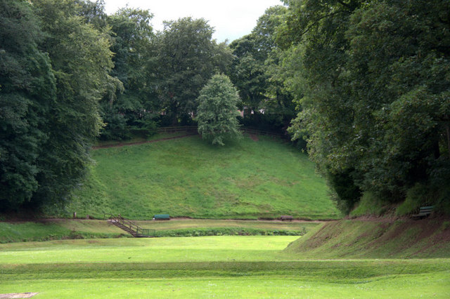
Caddam Wood offers a range of walking trails that wind through its enchanting landscapes. The paths are well-maintained and suitable for all levels of fitness, making it a popular destination for families and casual walkers. Along the routes, visitors can enjoy breathtaking views of the surrounding countryside, including the iconic Angus Glens.

For those interested in the history and folklore of the area, Caddam Wood has its fair share of legends. Tales of mythical creatures and hidden treasures add an air of mystery and intrigue to the forest, capturing the imagination of visitors.

Overall, Caddam Wood in Angus is a captivating and diverse natural wonderland, offering a tranquil escape from the hustle and bustle of everyday life. With its picturesque landscapes, abundant wildlife, and intriguing legends, it is no wonder that Caddam Wood is a cherished destination for nature lovers and adventure seekers alike.

If you have any feedback on the listing, please let us know in the comments section below.
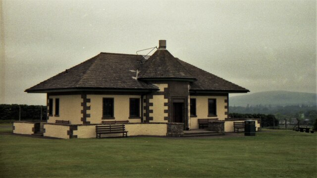
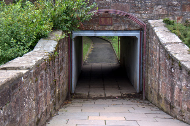
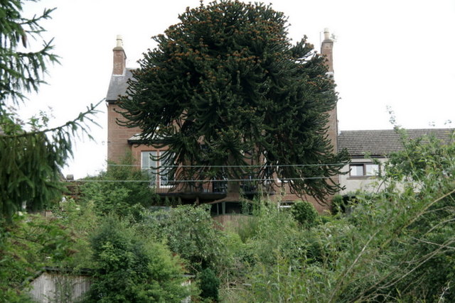
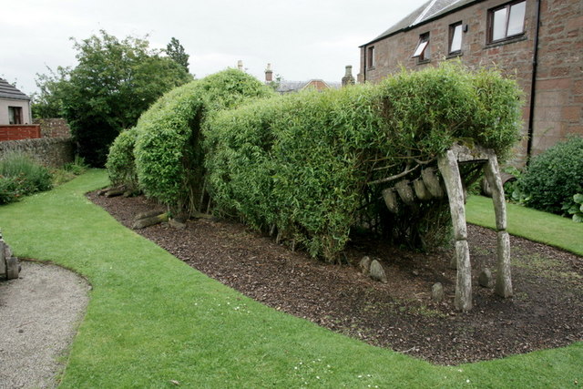
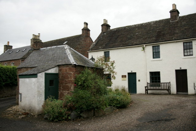
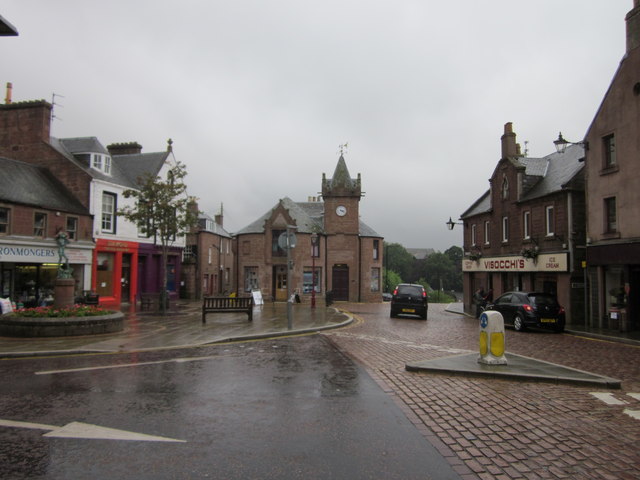
Caddam Wood Images

Images are sourced within 2km of 56.690271/-3.0101803 or Grid Reference NO3855. Thanks to Geograph Open Source API. All images are credited.

Footbridge over Gairie Burn This is also the point where three paths meet - one to the parking area at Loch of Kinnordy (to the right), one towards Kirrimuir (to the left), and the third one is coming from the marshy area on the east side of the loch.
Footbridge over Gairie Burn
This is also the point where three paths meet - one to the parking area at Loch of Kinnordy (to the right), one towards Kirrimuir (to the left), and the third one is coming from the marshy area on the east side of the loch.
Kirriemuir Camera Obscura in 1992
Kirriemuir Old Tollbooth in 1992 View from the south
Kirriemuir Old Tollbooth in 1992
View from the south
View from the hill The eastern view from Kirriemuir Hill is not the one that is commonly photographed.
View from the hill
The eastern view from Kirriemuir Hill is not the one that is commonly photographed.
Subway to the Den, Kirriemuir
Head of Kirriemuir Den The Gairie Burn flows through the den.
Head of Kirriemuir Den
The Gairie Burn flows through the den.
House above Kirriemuir Den The monkey puzzle tree has a chicken house built around the trunk.
House above Kirriemuir Den
The monkey puzzle tree has a chicken house built around the trunk.
Willow crocodile in the J. M. Barrie garden, Kirriemuir
J. M. Barrie's birthplace, Kirriemuir Now an NTS property. The building in the foreground is a wash house.
J. M. Barrie's birthplace, Kirriemuir
Now an NTS property. The building in the foreground is a wash house.
Kirriemuir Main Square The Town house at the far end of the square houses the Gateway to the Glens Museum and the tourist Information centre.
Kirriemuir Main Square
The Town house at the far end of the square houses the Gateway to the Glens Museum and the tourist Information centre.
Glengate, Kirriemuir Narrow street in the centre of Kirriemuir. The houses are built of the distinctive local Red Sandstone.
Glengate, Kirriemuir
Narrow street in the centre of Kirriemuir. The houses are built of the distinctive local Red Sandstone.
Cobbled square and kirk in the centre of Kirriemuir
Picnic area on the Hill of Kirriemuir An attractive green space in the centre of Kirriemuir.
Picnic area on the Hill of Kirriemuir
An attractive green space in the centre of Kirriemuir.
Neverland, Hill of Kirriemuir The Neverland play area must be one of the most elaborate and imaginative children's play areas in existence. It has been inspired by the "Jolly Roger" which features in the "Peter Pan" writings of the author and dramatist  JM Barrie (1860-1937) who was born and is buried in Kirriemuir.
Neverland, Hill of Kirriemuir
The Neverland play area must be one of the most elaborate and imaginative children's play areas in existence. It has been inspired by the "Jolly Roger" which features in the "Peter Pan" writings of the author and dramatist JM Barrie (1860-1937) who was born and is buried in Kirriemuir.
Masonic Lodge, Kirriemuir Lodge Airlie No.286, Kirriemuir, Angus, Scotland.
Masonic Lodge, Kirriemuir
Lodge Airlie No.286, Kirriemuir, Angus, Scotland.
Farmland at Auchlishie Mixed farming near Auchlishie, with both grazing and arable land visible in this image. Hills surrounding Glen Prosen can be seen in the distance.
Farmland at Auchlishie
Mixed farming near Auchlishie, with both grazing and arable land visible in this image. Hills surrounding Glen Prosen can be seen in the distance.
Hay making near Balnagarrow Baling hay in progress near Balnagarrow Farm, in a rare period of settled weather in July 2012.
Hay making near Balnagarrow
Baling hay in progress near Balnagarrow Farm, in a rare period of settled weather in July 2012.
Water jump A horse and rider in the water jump on the cross country course at Auchlishie, near Kirriemuir.
Water jump
A horse and rider in the water jump on the cross country course at Auchlishie, near Kirriemuir.
Show me another place!

Caddam Wood is located at Grid Ref: NO3855 (Lat: 56.690271, Lng: -3.0101803)

Unitary Authority: Angus

Police Authority: Tayside

What 3 Words

///rush.radiating.remover. Near Kirriemuir, Angus

Related Wikis

Kinnordy House

Kinnordy House (alternative spellings: Kynnordy, Kinardy, Kinnordie and Kinorde) is an estate house near Kirriemuir in Angus, Scotland. The first house...

Kirriemuir Town Hall

Kirriemuir Town Hall is a municipal structure in Reform Street in Kirriemuir, Angus, Scotland. The structure, which is used as a community events venue...

Kirriemuir Town House

Kirriemuir Town House is a municipal structure in the High Street in Kirriemuir, Angus, Scotland. The structure, which is used as a museum, is a Category...

Kirriemuir railway station

Kirriemuir railway station served the burgh of Kirriemuir, Angus, Scotland from 1861 to 1965 on the Scottish Midland Junction Railway. == History == The...

Webster's High School

Webster's High School is a secondary school in Kirriemuir, Angus, Scotland. The school has run for over 150 years, and there are over 650 pupils in the...

Kirriemuir Thistle F.C.

Kirriemuir Thistle Football Club are a Scottish junior football club based in Kirriemuir, Angus. Their home ground is Westview Park. Up until the end of...
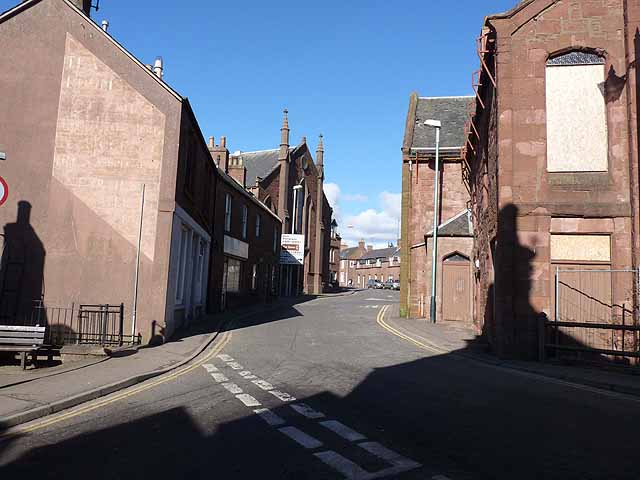
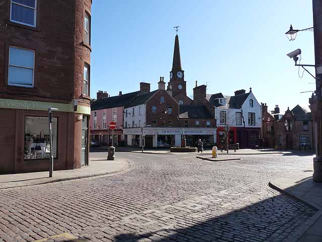
Kirriemuir

Kirriemuir (; Scots pronunciation: [ˌkɪreˈmeːr]; Scottish Gaelic: Ceathramh Mhoire [ˌkʲʰɛɾə ˈvɔɾʲə]), sometimes called Kirrie or the Wee Red Toon, is a...

Loch of Kinnordy

Loch of Kinnordy is a small loch located just west of town of Kirriemuir in Angus, Scotland, which is an important wildlife habitat. The loch itself is...

Nearby Amenities

Located within 500m of 56.690271,-3.0101803
Bus Stop
Cairn Road
Local Ref: AT
Naptan AtcoCode: 6490IM759
Naptan Bearing: SW
Naptan CommonName: Cairn Road
Naptan Indicator: at
Naptan NaptanCode: 26424749
Naptan Street: Cortachy Road
Naptan Verified: no
Source: naptan_import
Lat/Long: 56.6870085/-3.0047012
Bus Stop
Cairn Road
Bench: no
Bin: no
Lit: yes
Naptan AtcoCode: 6490IM760
Naptan Bearing: NE
Naptan CommonName: Cairn Road
Naptan Indicator: opp
Naptan NaptanCode: 26424756
Naptan Street: Cortachy Road
Naptan Verified: no
Shelter: no
Source: naptan_import
Tactile Paving: no
Lat/Long: 56.6870832/-3.0047392
Kirriemuir
Traffic Sign: city_limit
Traffic Sign Direction: backward
Lat/Long: 56.688969/-3.0029896
Caddam Standing Stone
Alt Name: Caldhame Standing Stone
Archaeological Site: megalith
Historic: archaeological_site
Lat/Long: 56.6939448/-3.0060125
Give Way
Direction: forward
Source: bing
Lat/Long: 56.6886355/-3.0028296
The data included in this document is from www.openstreetmap.org. The data is made available under ODbL.

Have you been to Caddam Wood?

Leave your review of Caddam Wood below (or comments, questions and feedback).