Northmuir
Settlement in Angus
Scotland
Northmuir

Northmuir is a small village located in the county of Angus, Scotland. Situated approximately 3 miles north of the bustling town of Kirriemuir, Northmuir is a predominantly residential area with a population of around 1,000 residents.
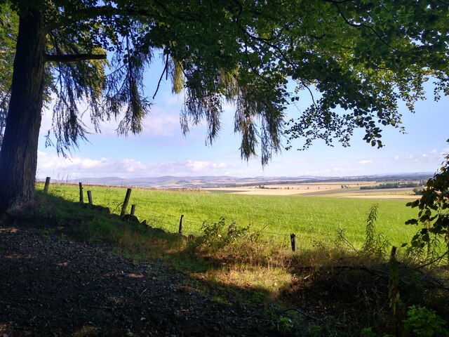
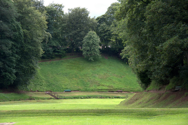
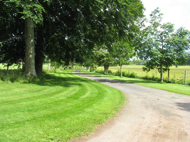
The village boasts a peaceful and picturesque setting, surrounded by beautiful landscapes and rolling hills. It is well-known for its close proximity to the Angus Glens, which offer stunning walking trails and opportunities for outdoor enthusiasts to explore the natural beauty of the area.
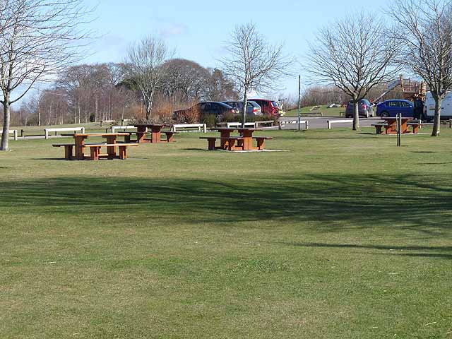
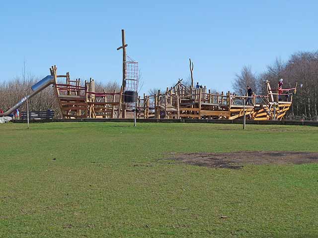
Northmuir itself has a strong community spirit, with a range of local amenities and services available to its residents. These include a primary school, a community center, a post office, and a small selection of shops and eateries.
One of the village's notable landmarks is the Northmuir Parish Church, a charming stone building that dates back to the 19th century and serves as a place of worship for the local community.
The village is conveniently located for those commuting to nearby towns, with good transport links to Kirriemuir and surrounding areas. It is also within easy reach of the A90 road, providing access to both Dundee and Aberdeen.
Overall, Northmuir offers a tranquil and friendly environment for residents, with its stunning natural surroundings and close-knit community ensuring a high quality of life.
If you have any feedback on the listing, please let us know in the comments section below.
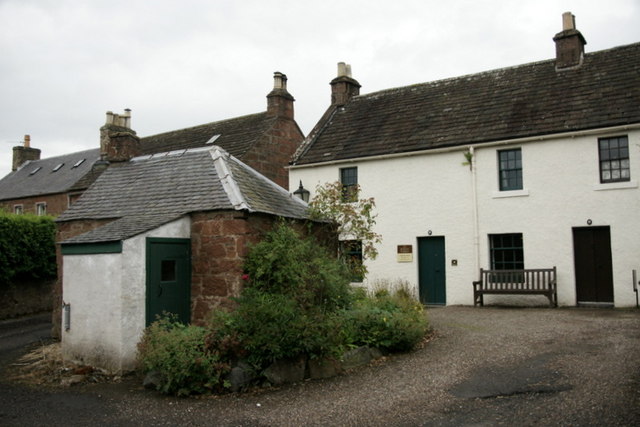
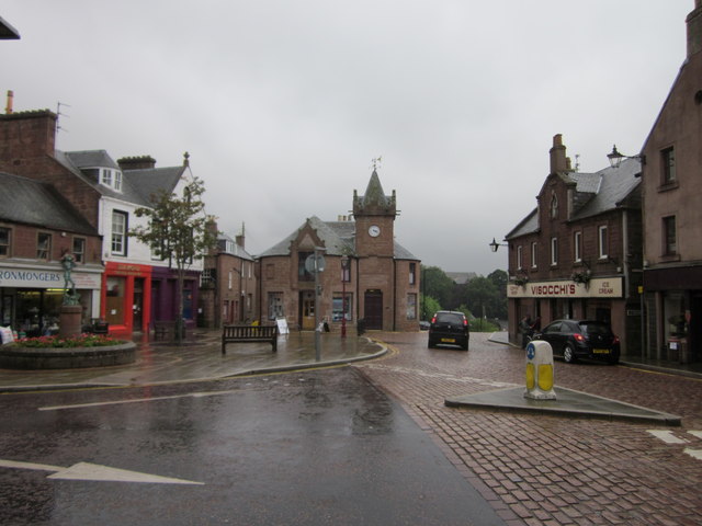
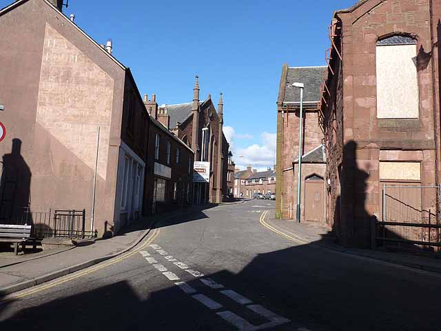
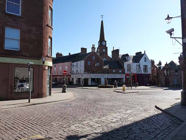
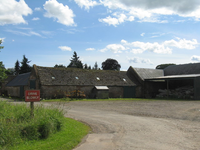
Northmuir Images
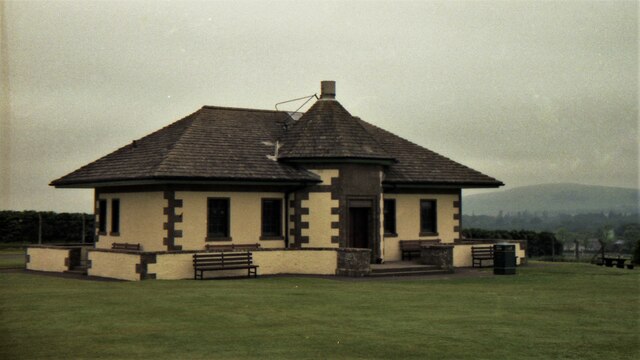
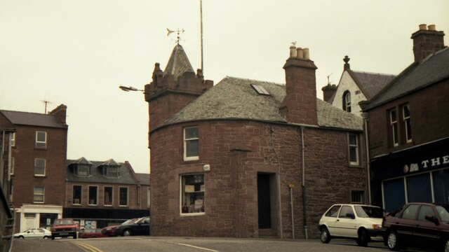
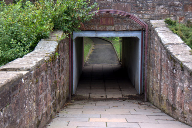
Images are sourced within 2km of 56.684585/-3.0088363 or Grid Reference NO3855. Thanks to Geograph Open Source API. All images are credited.
Northmuir is located at Grid Ref: NO3855 (Lat: 56.684585, Lng: -3.0088363)
Unitary Authority: Angus
Police Authority: Tayside
What 3 Words
///prude.acoustics.cushy. Near Kirriemuir, Angus
Nearby Locations
Related Wikis
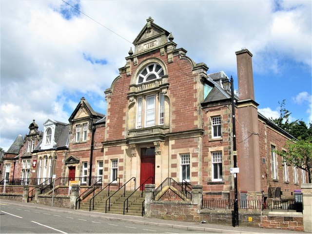
Kirriemuir Town Hall
Kirriemuir Town Hall is a municipal structure in Reform Street in Kirriemuir, Angus, Scotland. The structure, which is used as a community events venue...

Kirriemuir Town House
Kirriemuir Town House is a municipal structure in the High Street in Kirriemuir, Angus, Scotland. The structure, which is used as a museum, is a Category...

Kirriemuir railway station
Kirriemuir railway station served the burgh of Kirriemuir, Angus, Scotland from 1861 to 1965 on the Scottish Midland Junction Railway. == History == The...
Webster's High School
Webster's High School is a secondary school in Kirriemuir, Angus, Scotland. The school has run for over 150 years, and there are over 650 pupils in the...
Nearby Amenities
Located within 500m of 56.684585,-3.0088363Have you been to Northmuir?
Leave your review of Northmuir below (or comments, questions and feedback).