Crow Wood
Wood, Forest in Midlothian
Scotland
Crow Wood
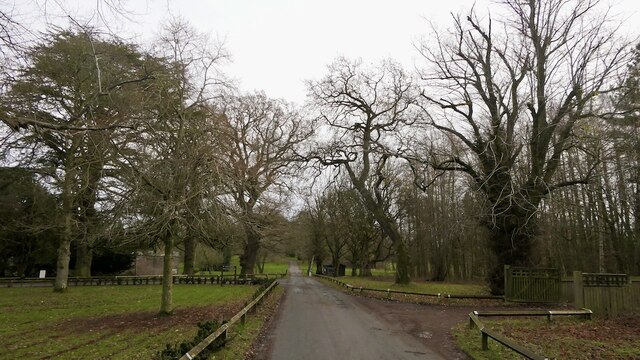
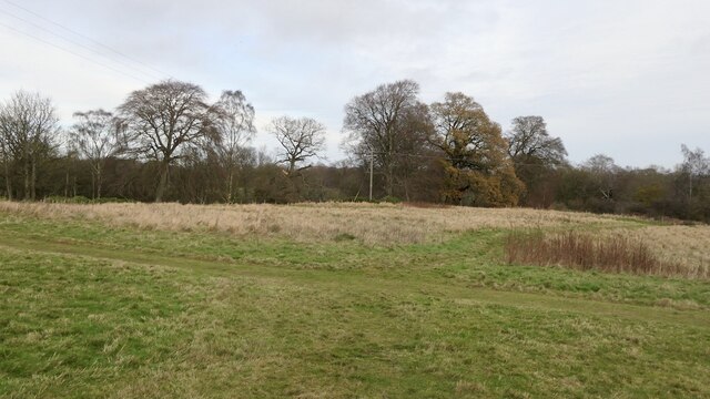
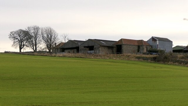
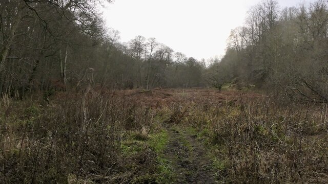
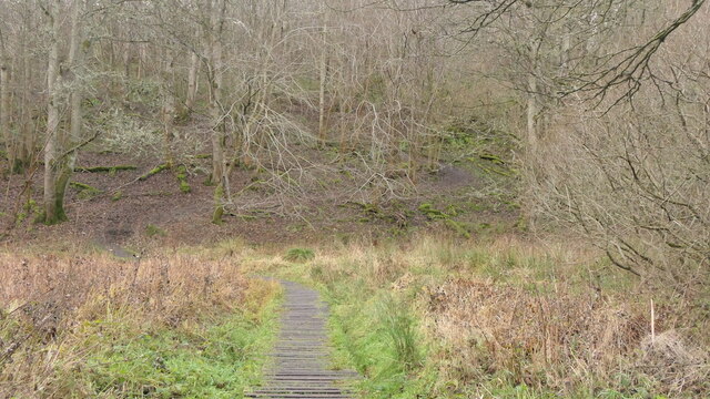
Crow Wood is a vast and enchanting forest located in Midlothian, Scotland. Covering an expansive area of approximately 500 acres, this ancient woodland is a haven for nature enthusiasts and outdoor adventurers alike. The wood is situated just a few miles south of Edinburgh, making it easily accessible to locals and visitors.
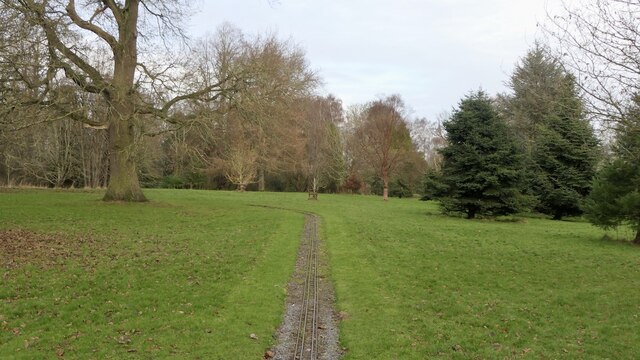
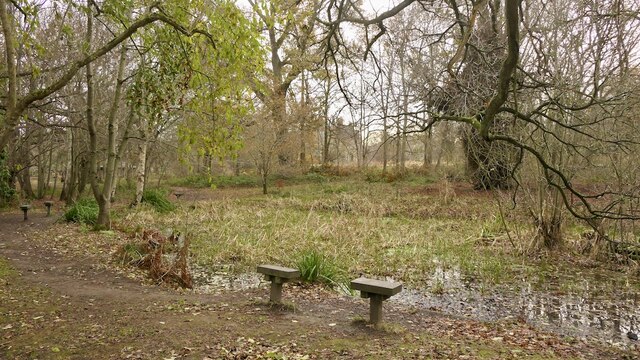
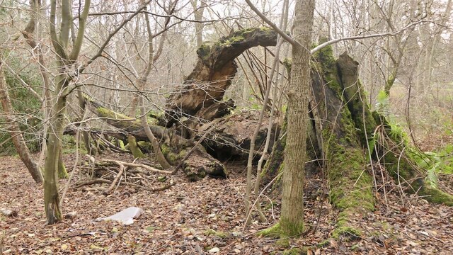
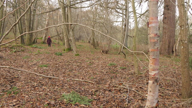
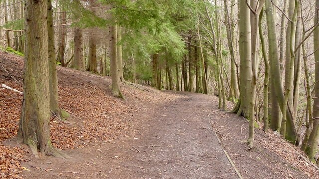
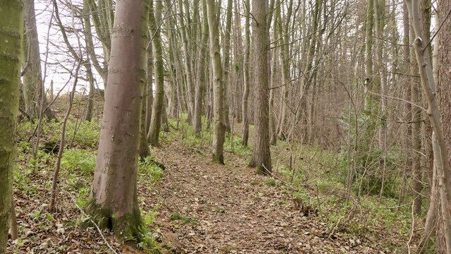
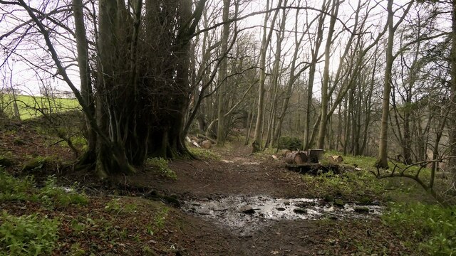
The woodland is predominantly comprised of towering native species such as oak, beech, and birch trees, which create a dense and captivating canopy. Walking through Crow Wood feels like stepping into a fairytale, with dappled sunlight filtering through the leaves and a rich tapestry of ferns, mosses, and wildflowers carpeting the forest floor.
The wood is home to a diverse array of wildlife, including deer, foxes, badgers, and a multitude of bird species. Birdwatchers will be delighted by the opportunity to spot rare species such as the Eurasian woodcock and the lesser spotted woodpecker. The tranquil atmosphere of Crow Wood is further enhanced by the soothing sound of birdsong, providing a peaceful retreat from the hustle and bustle of daily life.
A network of well-maintained trails weaves its way through the forest, offering visitors the chance to explore the wood's hidden treasures. Whether on foot, bike, or horseback, outdoor enthusiasts can immerse themselves in the beauty of nature as they navigate the winding pathways.
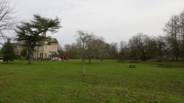
Crow Wood is not only a place of natural beauty but also holds historical significance. The wood has been a part of the local landscape for centuries and has witnessed countless events and changes throughout history. Today, it stands as a cherished natural landmark, providing a sanctuary for both wildlife and those seeking solace in nature's embrace.
If you have any feedback on the listing, please let us know in the comments section below.
Crow Wood Images
Images are sourced within 2km of 55.85745/-2.988107 or Grid Reference NT3863. Thanks to Geograph Open Source API. All images are credited.


Crow Wood is located at Grid Ref: NT3863 (Lat: 55.85745, Lng: -2.988107)
Unitary Authority: Midlothian
Police Authority: The Lothians and Scottish Borders
What 3 Words
///struck.dialect.notch. Near Mayfield, Midlothian
Related Wikis

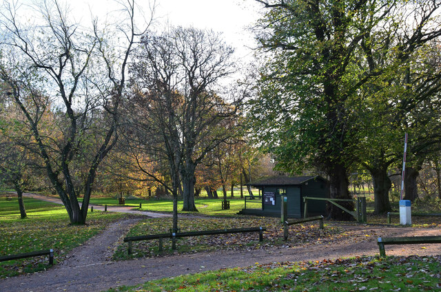
Vogrie Country Park
Vogrie Country Park in Scotland is managed by Midlothian Council. It consists of a woodland estate surrounding the Victorian Vogrie House. It is located...

Vogrie House
Vogrie House forms the centrepiece of Vogrie Country Park in Midlothian. It was built for James Dewar and his family in 1876 by Andrew Heiton, the town...
Dewartown
Dewartown is a small hamlet in Midlothian, Scotland (near Pathhead and Mayfield). Its name relates to the Dewar family who owned the nearby Vogrie House...

Crichton, Midlothian
Crichton is a small village and civil parish in Midlothian, Scotland, around 2 miles (3 km) south of Pathhead and the same distance east of Gorebridge...
Nearby Amenities
Located within 500m of 55.85745,-2.988107Have you been to Crow Wood?
Leave your review of Crow Wood below (or comments, questions and feedback).