Ford Glen

Valley in Midlothian

Scotland

Ford Glen

Ploughed fields near Pathhead Dry soil awaiting sowing, probably spring barley.
Ploughed fields near Pathhead Credit: Richard Webb

Ford Glen, located in Midlothian Valley, is a picturesque and historical site that attracts visitors from near and far. Nestled amidst the rolling hills and lush greenery, this stunning glen offers a tranquil oasis for nature lovers and history enthusiasts alike.

The glen is named after the ford that crosses the River Esk, which was once a crucial transportation route for locals and travelers. Today, the ford serves as a reminder of the area's rich heritage and the importance of the river in the region's development.

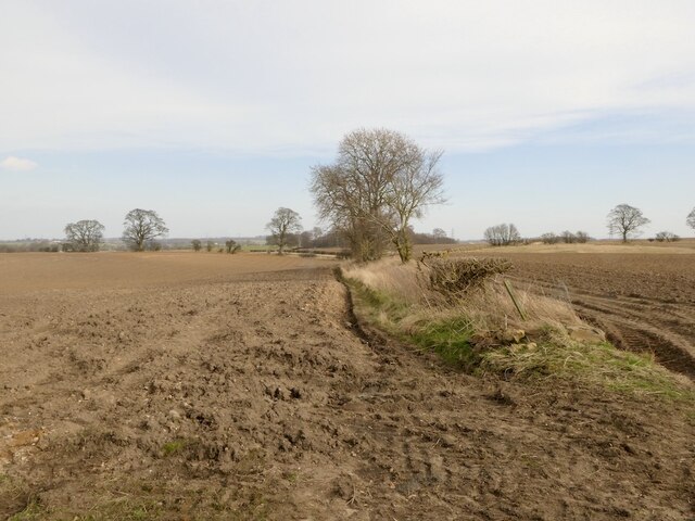
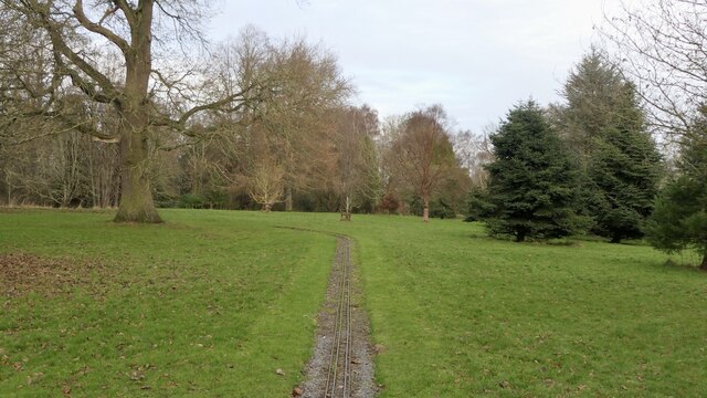
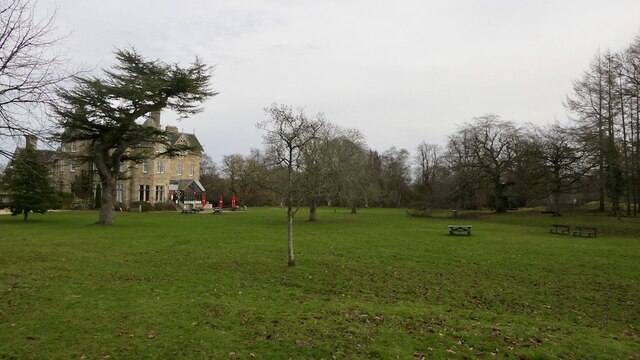
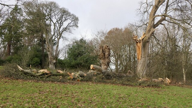
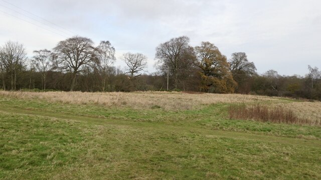
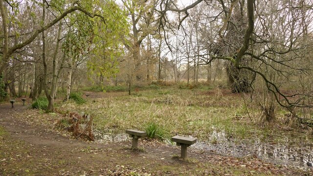
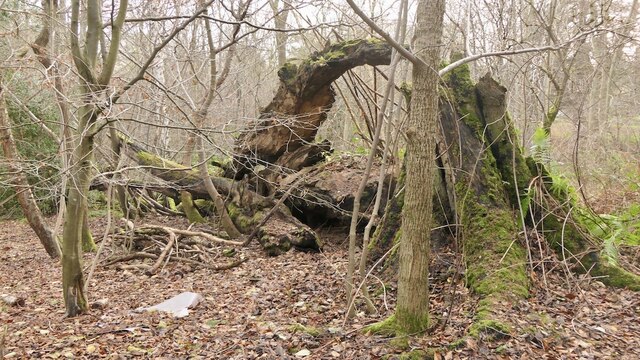
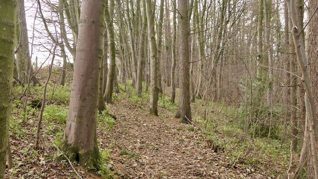
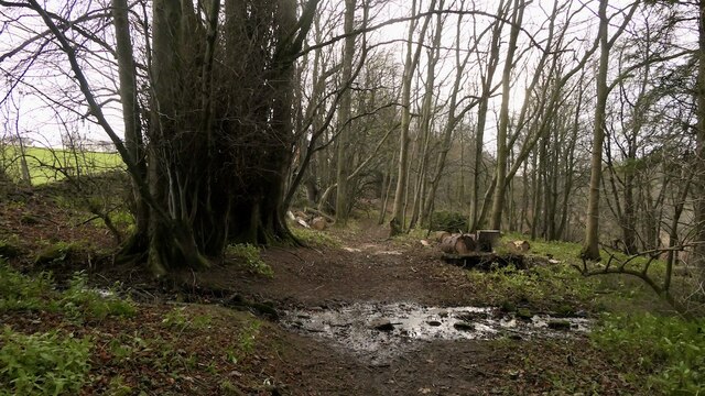
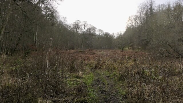
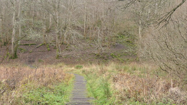
The landscape of Ford Glen is a harmonious blend of dense woodlands, open meadows, and babbling streams. It is home to a diverse array of flora and fauna, making it a haven for wildlife enthusiasts and birdwatchers. Visitors can spot various species of birds, such as kingfishers and herons, as well as mammals like otters and deer.

For those interested in history, Ford Glen offers a glimpse into the past. The remnants of an ancient settlement, including a stone circle and burial mounds, can be explored, providing insight into the lives of the people who once inhabited the area.

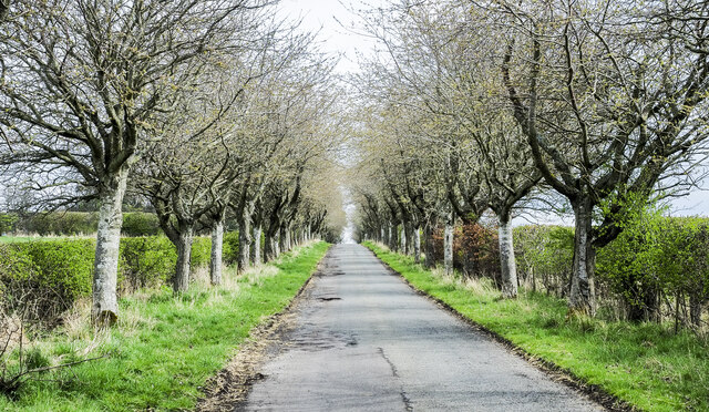
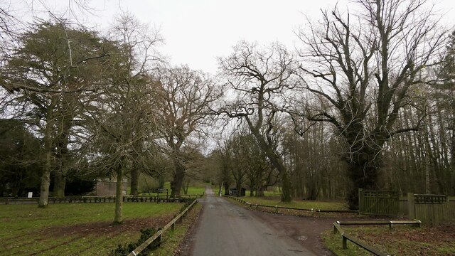
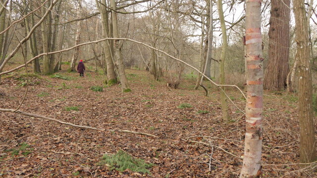
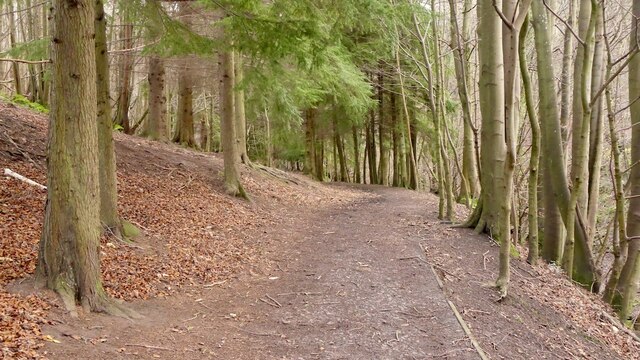
The glen is also popular for outdoor activities, such as walking, hiking, and picnicking. A network of well-maintained trails allows visitors to explore the glen's natural beauty at their own pace. The peaceful atmosphere and scenic surroundings make it an ideal spot for relaxation and rejuvenation.

In conclusion, Ford Glen in Midlothian Valley is a captivating destination that combines natural beauty, historical significance, and outdoor recreation. Whether you are seeking tranquility, wildlife sightings, or a glimpse into the past, Ford Glen offers a truly enriching experience for all who visit.

If you have any feedback on the listing, please let us know in the comments section below.

Ford Glen Images

Images are sourced within 2km of 55.864954/-2.9811871 or Grid Reference NT3863. Thanks to Geograph Open Source API. All images are credited.

Ploughed fields near Pathhead Dry soil awaiting sowing, probably spring barley.
Ploughed fields near Pathhead
Dry soil awaiting sowing, probably spring barley.
Tree-lined road near to A68 A minor road heading towards Whitburgh Mains Farm on the north-east side of the A68 close to Pathhead.
Tree-lined road near to A68
A minor road heading towards Whitburgh Mains Farm on the north-east side of the A68 close to Pathhead.
The drive, Vogrie House
Railway, Vogrie Country Park
Vogrie House Notes on the history of this estate, now owned and run as a country park by Midlothian Council can be found here: <a href="https://www.geograph.org.uk/photo/2141929">NT3863 : Vogrie House</a>
Vogrie House
Notes on the history of this estate, now owned and run as a country park by Midlothian Council can be found here: NT3863 : Vogrie House
Storm damage, Vogrie Country Park After the northerly gales on 26th November 2021. There are a lot of aged trees here.
Storm damage, Vogrie Country Park
After the northerly gales on 26th November 2021. There are a lot of aged trees here.
Giant trike sculpture, Vogrie Country Park
Former field, Vogrie Now an open space in the country park.
Former field, Vogrie
Now an open space in the country park.
Pond, Vogrie Country Park
Fallen tree, Vogrie Country Park There is a lot of fallen dead wood at Vogrie which enhances the biodiversity of the woodlands.
Fallen tree, Vogrie Country Park
There is a lot of fallen dead wood at Vogrie which enhances the biodiversity of the woodlands.
Crow Wood, Vogrie
Crow Wood, Vogrie
Path, Vogrie Wood Descending to the Tyne Water, following the Vogrie Burn.
Path, Vogrie Wood
Descending to the Tyne Water, following the Vogrie Burn.
Tyne Water, Vogrie One of those rivers which is a tributary of a watercourse with a similar name. It flows into the River Tyne which gains much of its flow from the Humbie/Birnie/Colstoun Waters.
Tyne Water, Vogrie
One of those rivers which is a tributary of a watercourse with a similar name. It flows into the River Tyne which gains much of its flow from the Humbie/Birnie/Colstoun Waters.
Path, Vogrie Wood On the edge of the woodland, high above the Tyne Water.
Path, Vogrie Wood
On the edge of the woodland, high above the Tyne Water.
Turniedykes by Pathhead
Turniedykes Strip Not a stripwood, but part of the Vogrie Estate woodlands. The path runs along the eastern edge of the wood, high above the Tyne Water. The burn is the outflow of field drains.
Turniedykes Strip
Not a stripwood, but part of the Vogrie Estate woodlands. The path runs along the eastern edge of the wood, high above the Tyne Water. The burn is the outflow of field drains.
Alderdean Marshland beside the Tyne Water, Vogrie
Alderdean
Marshland beside the Tyne Water, Vogrie
Path, Alderdean Raised walkway over a marsh.
Path, Alderdean
Raised walkway over a marsh.
Show me another place!

Ford Glen is located at Grid Ref: NT3863 (Lat: 55.864954, Lng: -2.9811871)

Unitary Authority: Midlothian

Police Authority: The Lothians and Scottish Borders

What 3 Words

///submerge.farmed.radiates. Near Mayfield, Midlothian

Nearby Locations

Crow Wood Ford Glen

Related Wikis

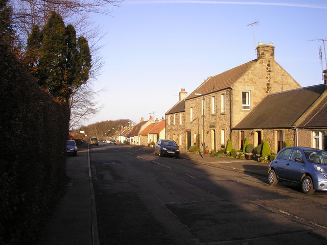
Pathhead, Midlothian

Pathhead village is a conservation area in Midlothian, Scotland. == Location == Pathhead is located around 4 miles (6.4 km) south east of Dalkeith and...

Dewartown

Dewartown is a small hamlet in Midlothian, Scotland (near Pathhead and Mayfield). Its name relates to the Dewar family who owned the nearby Vogrie House...

Vogrie Country Park

Vogrie Country Park in Scotland is managed by Midlothian Council. It consists of a woodland estate surrounding the Victorian Vogrie House. It is located...

Vogrie House

Vogrie House forms the centrepiece of Vogrie Country Park in Midlothian. It was built for James Dewar and his family in 1876 by Andrew Heiton, the town...

Nearby Amenities

Located within 500m of 55.864954,-2.9811871
Ford
Place: village
Lat/Long: 55.868864/-2.9783917
Post Box
Ref: EH37 49
Lat/Long: 55.8687979/-2.9778728
Power: tower
Lat/Long: 55.8629192/-2.9867713
Power: tower
Lat/Long: 55.864015/-2.9884309
Bus Stop
Ford Viaduct
Bus: yes
Local Ref: NW-bound
Naptan AtcoCode: 6280000005
Naptan Bearing: NW
Naptan CommonName: Viaduct
Naptan Indicator: NW-bound
Naptan Landmark: -
Naptan NaptanCode: 64323672
Naptan Street: Edgehead Road
Naptan Verified: yes
Public Transport: platform
Ref: 6280000005
Source: NaPTAN
Lat/Long: 55.8688393/-2.9779603
Bus Stop
Ford Viaduct
Bus: yes
Local Ref: SE-bound
Naptan AtcoCode: 6280000006
Naptan Bearing: SE
Naptan CommonName: Viaduct
Naptan Indicator: SE-bound
Naptan Landmark: -
Naptan NaptanCode: 64323673
Naptan Street: Edgehead Road
Naptan Verified: yes
Public Transport: platform
Ref: 6280000006
Source: NaPTAN
Lat/Long: 55.8689009/-2.9779549
The data included in this document is from www.openstreetmap.org. The data is made available under ODbL.

Have you been to Ford Glen?

Leave your review of Ford Glen below (or comments, questions and feedback).