Douglashaugh Plantation

Wood, Forest in Roxburghshire

Scotland

Douglashaugh Plantation

Minor road beside Borthwick Water Looking north-eastward.
Minor road beside Borthwick Water Credit: Peter Wood

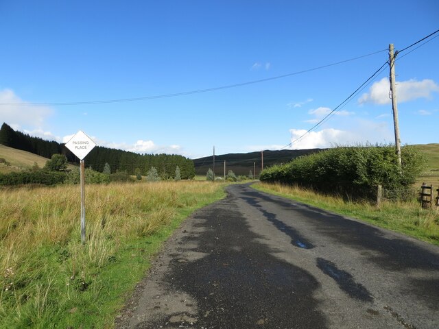
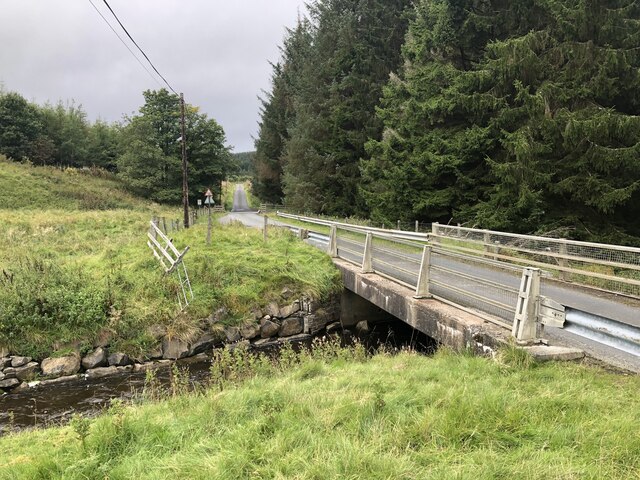
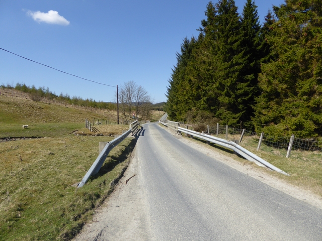
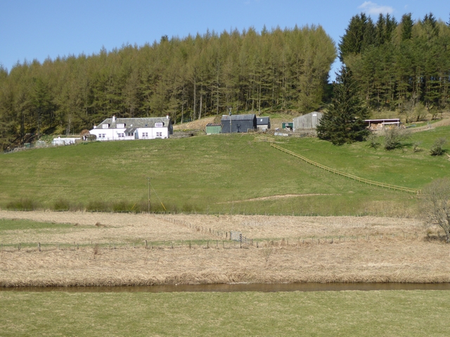
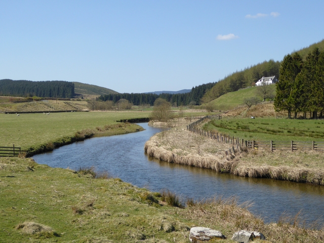
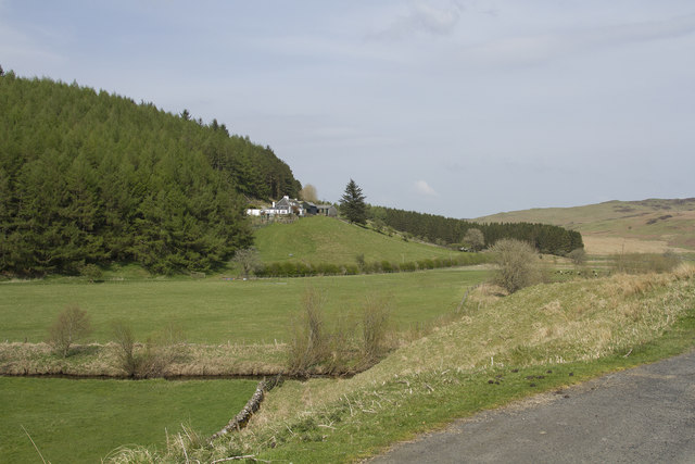
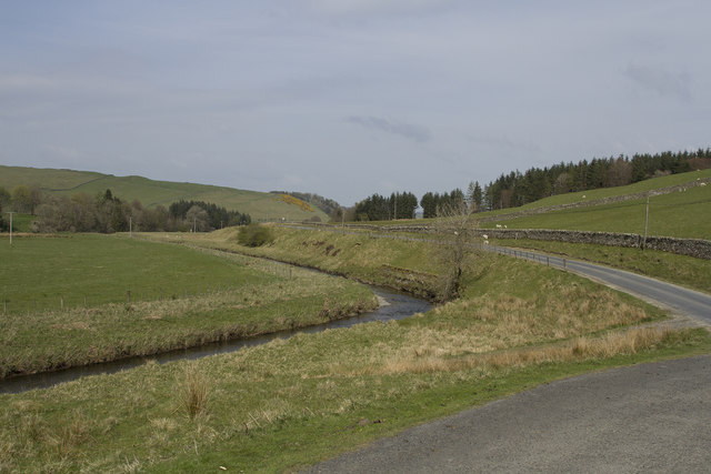
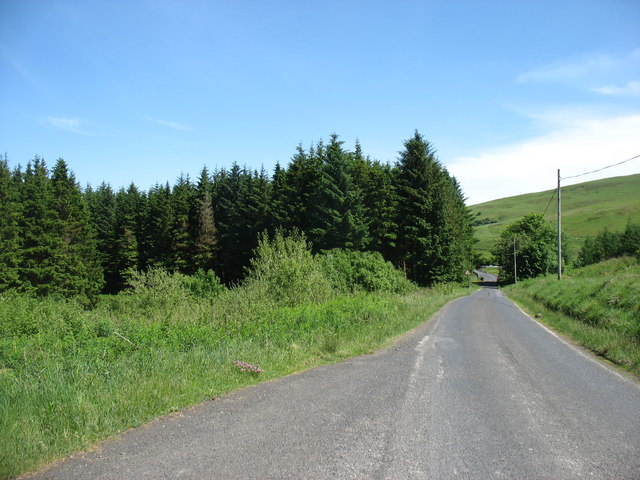
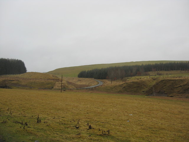
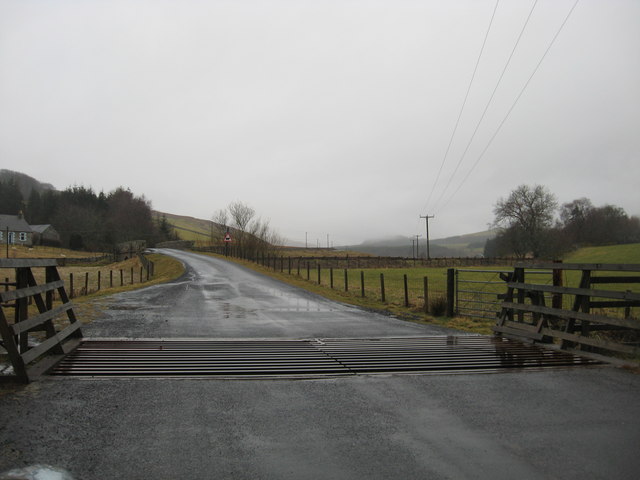
Douglashaugh Plantation is a stunning woodland area located in Roxburghshire, Scotland. Spanning over several acres, this plantation is known for its rich history and diverse flora and fauna. Nestled in the heart of the Scottish Borders, it offers a picturesque landscape for nature enthusiasts and visitors alike.

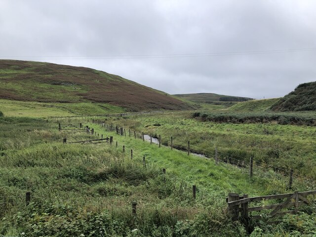
The plantation is predominantly composed of diverse woodland, featuring a variety of tree species such as oak, beech, and pine. These trees create a dense and vibrant canopy, providing shelter and food for a wide range of wildlife. The forest floor is adorned with an array of wildflowers, adding a splash of color to the serene surroundings.

Douglashaugh Plantation is a haven for wildlife, with many species calling it home. Visitors may spot red squirrels, roe deer, and various bird species like woodpeckers and owls. The tranquil atmosphere and abundance of natural resources make it an ideal habitat for these creatures.

Besides its natural beauty, the plantation also has cultural significance. It has been a part of the local community for centuries and has witnessed various historical events throughout its existence. The trails winding through the woodland are reminiscent of the plantation's past and offer visitors a chance to immerse themselves in its captivating history.

Whether you’re interested in exploring nature, wildlife spotting, or simply seeking a peaceful retreat, Douglashaugh Plantation in Roxburghshire is a must-visit destination. Its enchanting woodlands and rich biodiversity make it a truly remarkable place to connect with nature and enjoy the beauty of Scotland's countryside.

If you have any feedback on the listing, please let us know in the comments section below.

Douglashaugh Plantation Images

Images are sourced within 2km of 55.390142/-2.9651612 or Grid Reference NT3811. Thanks to Geograph Open Source API. All images are credited.

Minor road beside Borthwick Water Looking north-eastward.
Minor road beside Borthwick Water
Looking north-eastward.
Ordnance Survey Cut Mark This mark can be found on top of the parapet of a road bridge that spans Pilhope Burn. At one time the mark had an associated rivet but this is no longer there.
The recorded details give a height of 183.33 metres above sea level.
For more details see : <span class="nowrap"><a title="https://www.bench-marks.org.uk/bm164866" rel="nofollow ugc noopener" href="https://www.bench-marks.org.uk/bm164866">Link</a><img style="margin-left:2px;" alt="External link" title="External link - shift click to open in new window" src="https://s1.geograph.org.uk/img/external.png" width="10" height="10"/></span>
Ordnance Survey Cut Mark
This mark can be found on top of the parapet of a road bridge that spans Pilhope Burn. At one time the mark had an associated rivet but this is no longer there. The recorded details give a height of 183.33 metres above sea level. For more details see : LinkExternal link
Eildrig Burn Edge of the vast Craik Forest.
Eildrig Burn
Edge of the vast Craik Forest.
Road to Craik Crossing the Eildrig Burn into the forest.
Road to Craik
Crossing the Eildrig Burn into the forest.
Country road crossing the burn on the way to Howpasley Near Meadshaw in Roxburghshire.
Country road crossing the burn on the way to Howpasley
Near Meadshaw in Roxburghshire.
A view over the vale of the Borthwick Water With Meadshaw Farm being seen in the background and wet and miserable day in Roxburghshire.
A view over the vale of the Borthwick Water
With Meadshaw Farm being seen in the background and wet and miserable day in Roxburghshire.
Eildrig Burn A tributary of the Borthwick Water
Eildrig Burn
A tributary of the Borthwick Water
The road to Craik The long cul-de-sac road up to Craik and Howparsley crossing the Eildrig Burn. Better weather than in <a href="https://www.geograph.org.uk/photo/2308744">NT3709 : Country road crossing the burn on the way to Howpasley</a>!
The road to Craik
The long cul-de-sac road up to Craik and Howparsley crossing the Eildrig Burn. Better weather than in NT3709 : Country road crossing the burn on the way to Howpasley!
Borthwick Water and Meadshaw On the edge of Eilrig Forest, looking downstream.
Borthwick Water and Meadshaw
On the edge of Eilrig Forest, looking downstream.
Meadshaw Farm Looking across the Borthwick Water to the isolated Meadshaw Farm on the edge of Craik Forest.
Meadshaw Farm
Looking across the Borthwick Water to the isolated Meadshaw Farm on the edge of Craik Forest.
Borthwick Water Looking upstream. Meadshaw Farm on the edge of Craik Forest on the slope to the right.
Borthwick Water
Looking upstream. Meadshaw Farm on the edge of Craik Forest on the slope to the right.
Philhope Burn A tributary of Borthwick Water. Philhope Farm in the middle distance.
Philhope Burn
A tributary of Borthwick Water. Philhope Farm in the middle distance.
Meadshaw Farm Situated in a beautiful valley this farm has wonderful views over the river.
Meadshaw Farm
Situated in a beautiful valley this farm has wonderful views over the river.
The fertile river valley This is a quiet fertile river valley. The river is small but extremely clean and has salmon spawning in its upper reaches.
The fertile river valley
This is a quiet fertile river valley. The river is small but extremely clean and has salmon spawning in its upper reaches.
Leaving Craik Forest This lane leads, eventually, to Hawick.
Leaving Craik Forest
This lane leads, eventually, to Hawick.
Countryside in Roxburghshire Grazing and forestry land with the road to the left leading to Outerside.
Countryside in Roxburghshire
Grazing and forestry land with the road to the left leading to Outerside.
The Borthwick Water Near its confluence with the Camp Burn below Broadlea.
The Borthwick Water
Near its confluence with the Camp Burn below Broadlea.
Minor road crossing a cattle grid at  Hosecote Heading south in Roxburghshire
Minor road crossing a cattle grid at Hosecote
Heading south in Roxburghshire
Show me another place!

Douglashaugh Plantation is located at Grid Ref: NT3811 (Lat: 55.390142, Lng: -2.9651612)

Unitary Authority: The Scottish Borders

Police Authority: The Lothians and Scottish Borders

What 3 Words

///shadowing.angers.unlocking. Near Teviothead, Scottish Borders

Nearby Locations

Douglashaugh Plantation

Related Wikis

Burnfoot, Roberton

Burnfoot (Scottish Gaelic: Bun na h-Aibhne) is a hamlet in the Scottish Borders area of Scotland, close to Roberton, by the Borthwick Water. The nearest...

Craik Forest

Craik Forest is a forest near Hawick in the Scottish Borders area of Scotland, and managed by the Forestry Commission. It is adjoined to the south-west...

Falnash

Falnash (Scots: Fawenesh) is a village in the Scottish Borders of Scotland. It is near Teviothead, in the former Roxburghshire, and in the parish of Teviothead...

Alemoor Loch

Alemoor Loch, also known as Alemoor Reservoir, is a small reservoir in the Scottish Borders area of Scotland. It is situated on the Ale Water, 10 kilometres...

Nearby Amenities

Located within 500m of 55.390142,-2.9651612
Ford: yes
Lat/Long: 55.3913901/-2.958913
Power: pole
Lat/Long: 55.3914596/-2.9585169
Power: pole
Lat/Long: 55.3908351/-2.958746
Power: pole
Lat/Long: 55.3902881/-2.9591812
Power: pole
Lat/Long: 55.390177/-2.9592765
Power: pole
Lat/Long: 55.3892994/-2.9599563
Power: pole
Lat/Long: 55.3884204/-2.960667
Power: pole
Lat/Long: 55.3878368/-2.9611253
Power: pole
Lat/Long: 55.3872064/-2.9615991
Power: pole
Lat/Long: 55.3866067/-2.9621141
Power: pole
Lat/Long: 55.3859983/-2.9627527
Power: pole
Lat/Long: 55.3909163/-2.9596846
Power: pole
Lat/Long: 55.391026/-2.9608846
Power: pole
Lat/Long: 55.3911254/-2.9619995
Power: pole
Lat/Long: 55.3912234/-2.9631969
Power: pole
Lat/Long: 55.391339/-2.9643942
Power: pole
Lat/Long: 55.3914501/-2.9654809
Power: pole
Lat/Long: 55.3915525/-2.9666679
Power: pole
Lat/Long: 55.3916695/-2.967837
Power: pole
Lat/Long: 55.3917426/-2.9687923
Power: pole
Lat/Long: 55.3918026/-2.9695236
Power: pole
Lat/Long: 55.3919356/-2.9709063
Power: pole
Lat/Long: 55.3920351/-2.9720342
The data included in this document is from www.openstreetmap.org. The data is made available under ODbL.

Have you been to Douglashaugh Plantation?

Leave your review of Douglashaugh Plantation below (or comments, questions and feedback).