Kirkquharnon Wood
Wood, Forest in Fife
Scotland
Kirkquharnon Wood
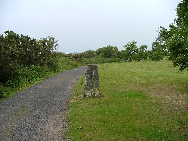
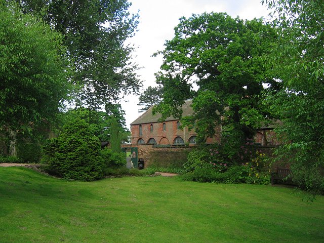
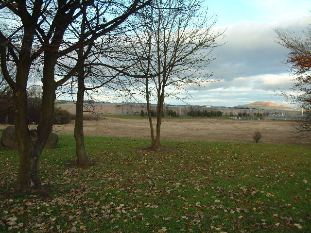
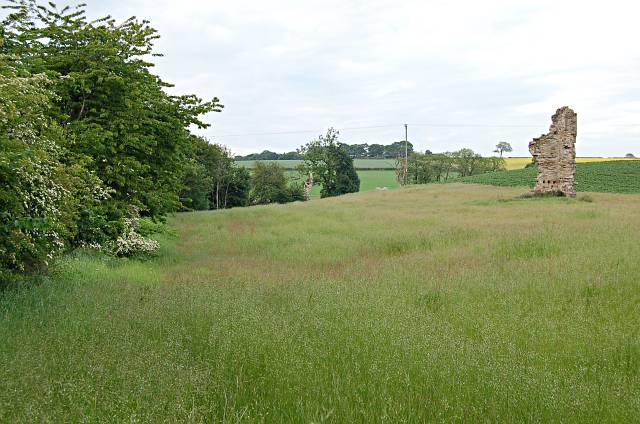
Kirkquharnon Wood, located in Fife, Scotland, is a picturesque forest that spans over a vast area of land. Nestled amidst the rolling hills and countryside, this enchanting woodland boasts an array of natural beauty and diverse ecosystems.
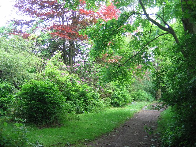
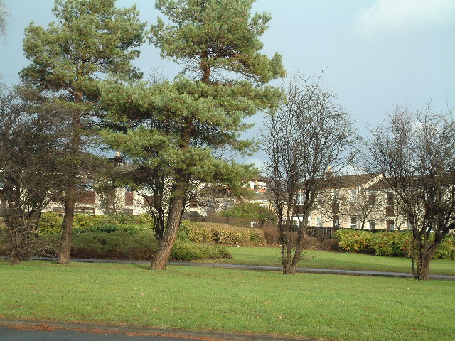
The wood is predominantly covered with a mixture of broadleaf and coniferous trees, including oak, beech, birch, and Scots pine. These towering trees create a dense canopy that provides shade and shelter for a variety of flora and fauna. The forest floor is adorned with a rich carpet of mosses, ferns, and wildflowers, adding to its allure.
The wood is intersected by several well-maintained trails, allowing visitors to explore its hidden treasures. These paths wind through the forest, offering stunning views of the surrounding countryside. The tranquility of the wood is often punctuated by the melodic songs of birds that find refuge in its branches.
Kirkquharnon Wood is not only a haven for wildlife but also a popular destination for outdoor enthusiasts. Hiking, birdwatching, and photography are some of the activities enjoyed by visitors. The wood also offers opportunities for educational and recreational programs, attracting schools and nature enthusiasts alike.
The conservation of Kirkquharnon Wood is of utmost importance, as it plays a crucial role in maintaining the biodiversity of the region. Efforts are made to preserve the delicate balance of the ecosystem, ensuring the survival of its inhabitants.
In conclusion, Kirkquharnon Wood is a captivating woodland in Fife, Scotland, offering a respite from the hustle and bustle of daily life. Its diverse flora and fauna, stunning landscapes, and recreational opportunities make it a cherished natural gem in the region.
If you have any feedback on the listing, please let us know in the comments section below.
Kirkquharnon Wood Images
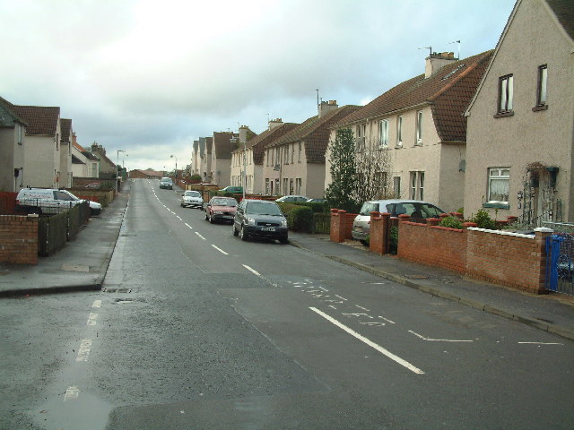
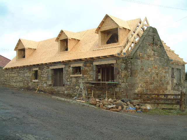
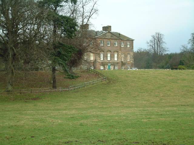
Images are sourced within 2km of 56.207061/-3.0115258 or Grid Reference NO3702. Thanks to Geograph Open Source API. All images are credited.


Kirkquharnon Wood is located at Grid Ref: NO3702 (Lat: 56.207061, Lng: -3.0115258)
Unitary Authority: Fife
Police Authority: Fife
What 3 Words
///green.once.purely. Near Leven, Fife
Nearby Locations
Related Wikis

East Fife G.W.F.C.
East Fife Girls and Women's Football Club are a Scottish women's football team based in the Fife coastal town of Leven. The team, established in 2000,...
Levenmouth
Levenmouth is a conurbation comprising a network of settlements on the north side of the Firth of Forth, in Fife on the east coast of Scotland. It consists...
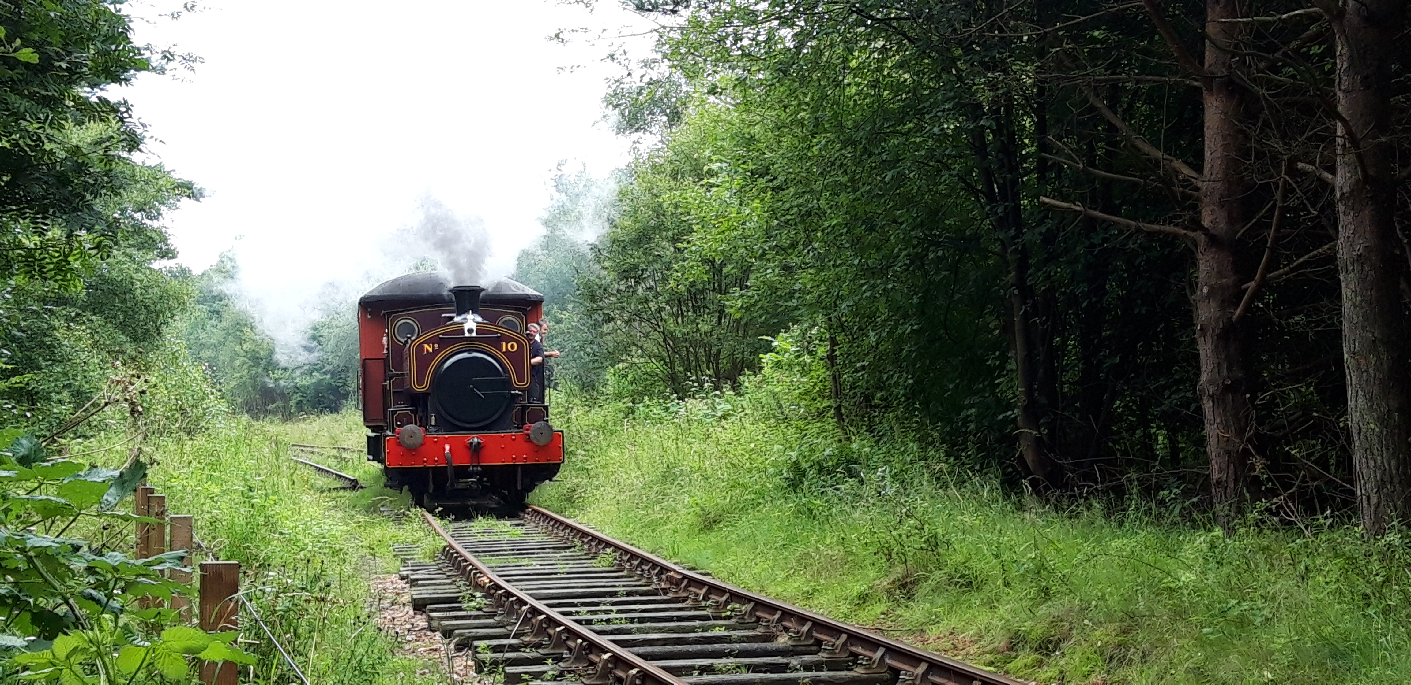
Fife Heritage Railway
Fife Heritage Railway is a heritage railway run by The Kingdom of Fife Railway Preservation Society, formed in 1992, which aims to showcase the heritage...

Bawbee Bridge
Bawbee Bridge is a bridge connecting Leven and Methil in Levenmouth, Fife, Scotland. == History == A new bridge, built at a cost of £200,000, was opened...
Leven, Fife
Leven (Scottish Gaelic: Inbhir Lìobhann) is a seaside town in Fife, set in the east Central Lowlands of Scotland. It lies on the coast of the Firth of...
Scoonie
Scoonie is a settlement and parish in Fife, Scotland, the parish contains the town of Leven. It is bordered on the north by the parishes of Kettle and...
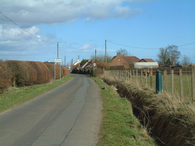
Baintown
Baintown is a hamlet located in Fife, a council area of Scotland, UK.
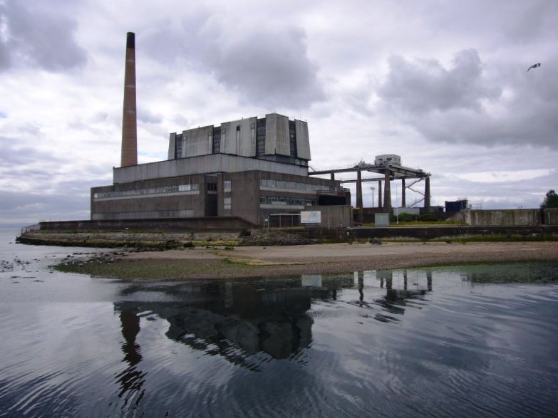
Methil power station
Methil Power Station was a small base load coal slurry-fired power station in the town of Methil, Fife, Scotland. It was situated on the south side of...
Nearby Amenities
Located within 500m of 56.207061,-3.0115258Have you been to Kirkquharnon Wood?
Leave your review of Kirkquharnon Wood below (or comments, questions and feedback).