Tullylaw Wood
Wood, Forest in Fife
Scotland
Tullylaw Wood
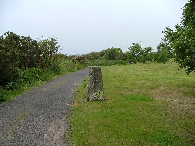
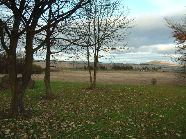
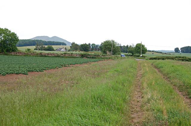
Tullylaw Wood is a beautiful forest located in the region of Fife, Scotland. Covering an area of approximately 50 hectares, it is known for its diverse wildlife, stunning landscapes, and tranquil atmosphere. The wood is easily accessible, situated just a few miles southeast of the town of Cupar.
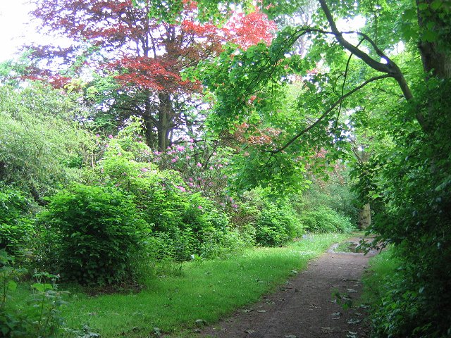
The forest is primarily composed of native broadleaf trees, including oak, birch, and rowan, which provide a rich habitat for various species of birds, insects, and mammals. Visitors to Tullylaw Wood can expect to encounter a wide range of wildlife, such as red squirrels, roe deer, and a variety of bird species, including woodpeckers and tawny owls.
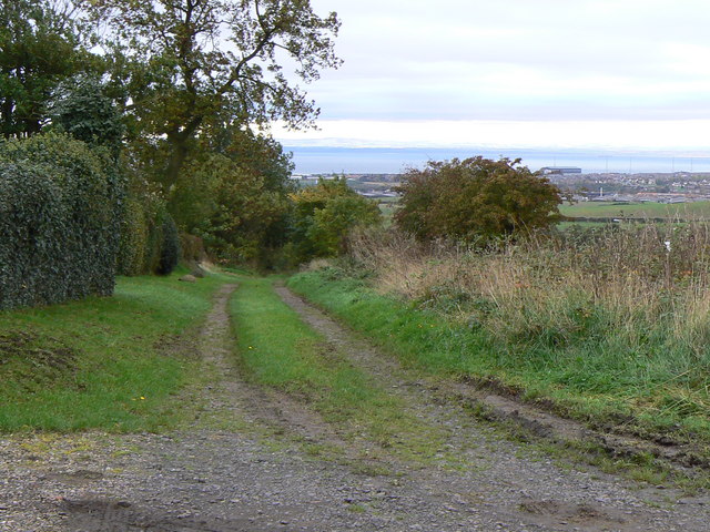
Several well-maintained trails wind their way through the wood, offering visitors an opportunity to explore the natural beauty of the area. These paths are suitable for both walking and cycling, making Tullylaw Wood a popular destination for outdoor enthusiasts. Along the trails, visitors can enjoy breathtaking views of the surrounding countryside, as well as peaceful spots for picnics or simply taking in the serenity of the forest.
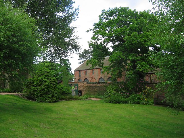
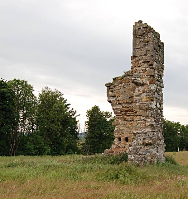
Tullylaw Wood also has a rich cultural history, with evidence of ancient settlements and burial grounds dating back thousands of years. Archaeological sites within the wood provide a fascinating glimpse into the lives of those who once inhabited the area.
With its picturesque landscapes, abundant wildlife, and historical significance, Tullylaw Wood is a must-visit destination for nature lovers and history enthusiasts alike.
If you have any feedback on the listing, please let us know in the comments section below.
Tullylaw Wood Images
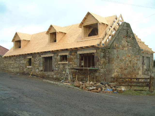
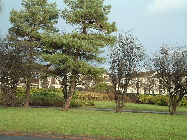
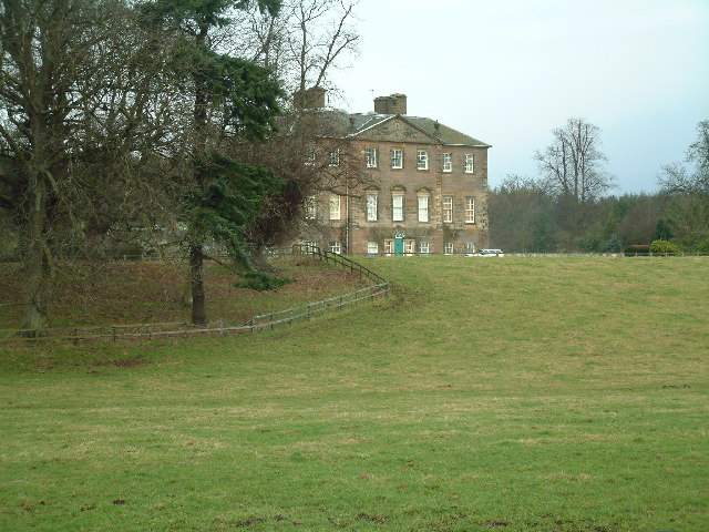
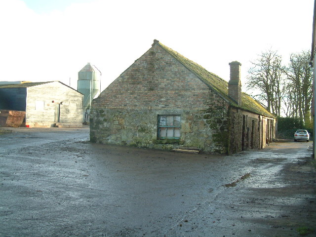
Images are sourced within 2km of 56.210259/-3.0049678 or Grid Reference NO3702. Thanks to Geograph Open Source API. All images are credited.


Tullylaw Wood is located at Grid Ref: NO3702 (Lat: 56.210259, Lng: -3.0049678)
Unitary Authority: Fife
Police Authority: Fife
What 3 Words
///birds.enjoys.reject. Near Leven, Fife
Nearby Locations
Related Wikis

East Fife G.W.F.C.
East Fife Girls and Women's Football Club are a Scottish women's football team based in the Fife coastal town of Leven. The team, established in 2000,...
Levenmouth
Levenmouth is a conurbation comprising a network of settlements on the north side of the Firth of Forth, in Fife on the east coast of Scotland. It consists...
Leven, Fife
Leven (Scottish Gaelic: Inbhir Lìobhann) is a seaside town in Fife, set in the east Central Lowlands of Scotland. It lies on the coast of the Firth of...

Scoonie
Scoonie is a settlement and parish in Fife, Scotland, the parish contains the town of Leven. It is bordered on the north by the parishes of Kettle and...
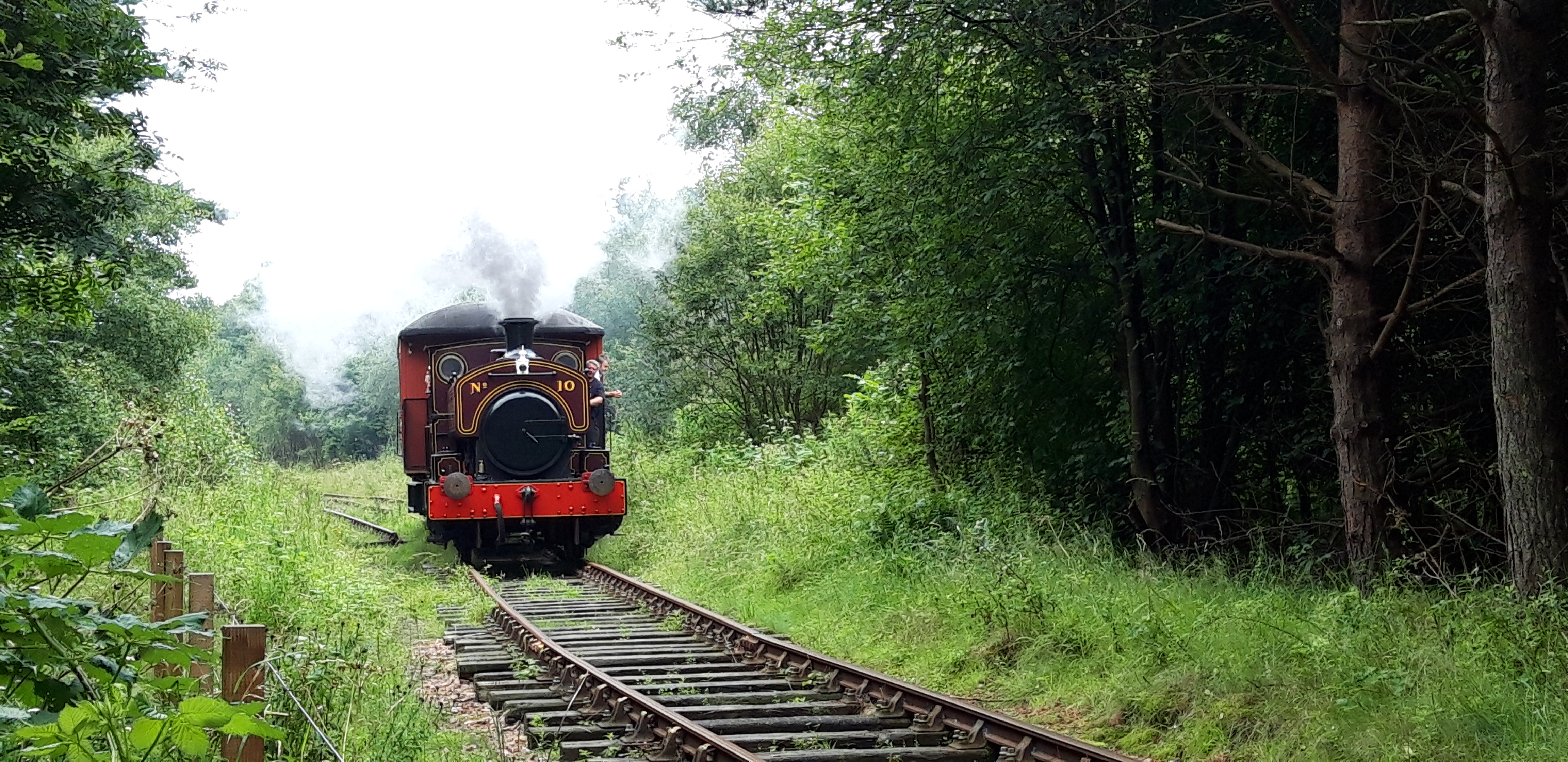
Fife Heritage Railway
Fife Heritage Railway is a heritage railway run by The Kingdom of Fife Railway Preservation Society, formed in 1992, which aims to showcase the heritage...

Bawbee Bridge
Bawbee Bridge is a bridge connecting Leven and Methil in Levenmouth, Fife, Scotland. == History == A new bridge, built at a cost of £200,000, was opened...
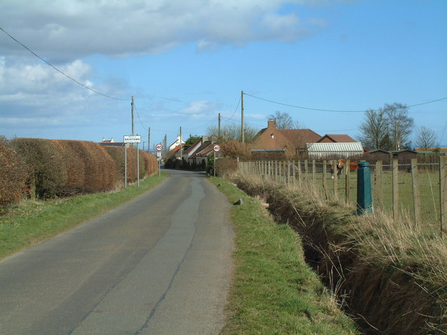
Baintown
Baintown is a hamlet located in Fife, a council area of Scotland, UK.
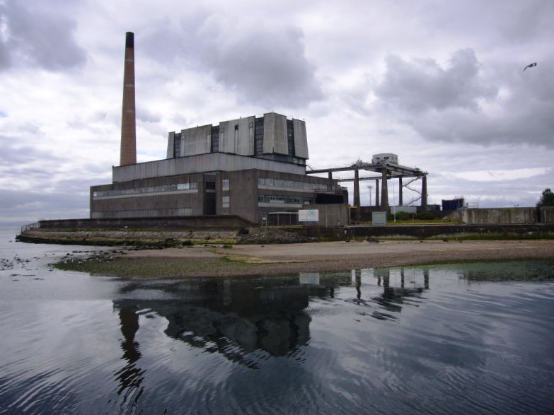
Methil power station
Methil Power Station was a small base load coal slurry-fired power station in the town of Methil, Fife, Scotland. It was situated on the south side of...
Nearby Amenities
Located within 500m of 56.210259,-3.0049678Have you been to Tullylaw Wood?
Leave your review of Tullylaw Wood below (or comments, questions and feedback).