Bank Strip
Wood, Forest in Fife
Scotland
Bank Strip
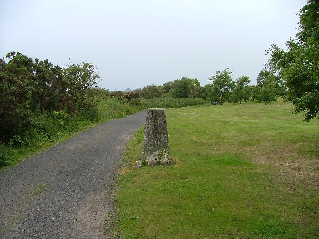
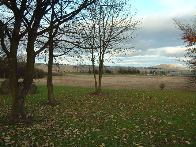
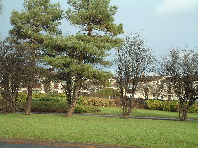
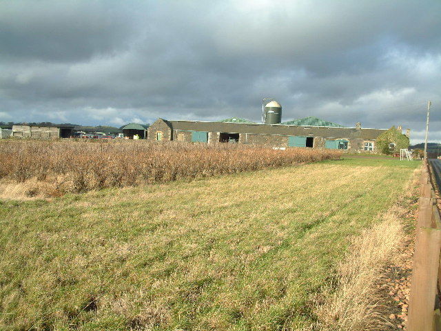
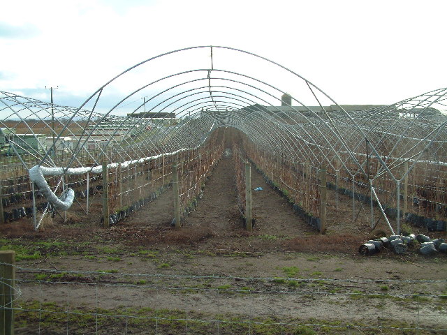
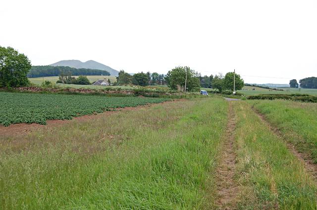
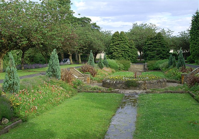
Bank Strip is a small woodland area located in Fife, Scotland. Situated in the eastern part of the county, it covers an area of approximately 10 hectares. The woodland is characterized by its dense vegetation and variety of tree species, including oak, birch, and pine trees.
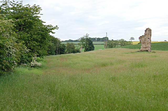
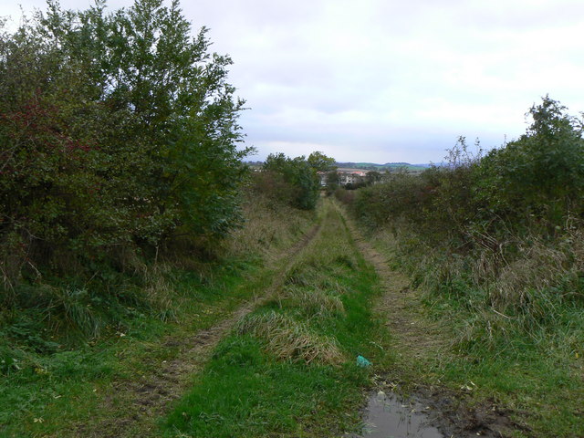
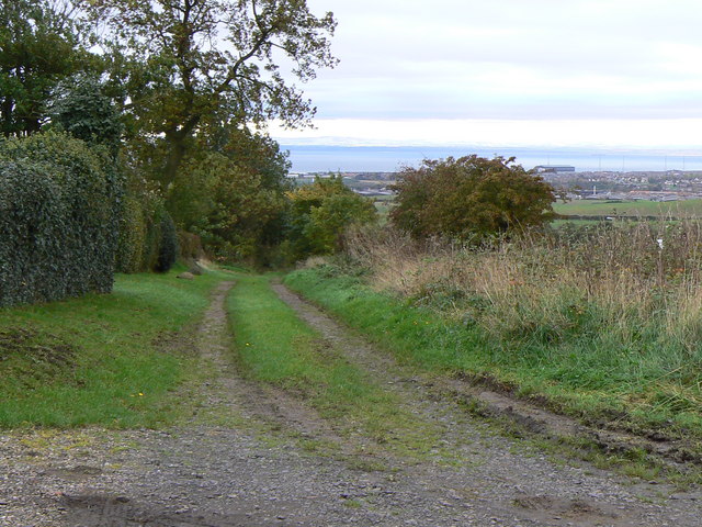
The forest is known for its natural beauty and tranquil atmosphere, making it a popular destination for nature enthusiasts and hikers. The well-maintained pathways and trails within the woodland provide opportunities for visitors to explore and enjoy the natural surroundings.
Bank Strip is also home to a diverse range of wildlife, including various bird species, mammals, and insects. It serves as an important habitat for birds such as woodpeckers, owls, and thrushes, which can be observed and heard throughout the woodland. The forest floor is teeming with small mammals like voles and shrews, while the tree canopies provide shelter for squirrels and bats.
The woodland is managed by local authorities and conservation groups to preserve its ecological value and promote sustainable use. Efforts have been made to maintain the biodiversity of the area, ensuring the survival of native plant and animal species.
Bank Strip is easily accessible by both car and public transport, with nearby parking facilities and a bus stop within walking distance. Visitors can enjoy a peaceful walk, picnic, or simply immerse themselves in the tranquility of nature in this beautiful woodland.
If you have any feedback on the listing, please let us know in the comments section below.
Bank Strip Images
Images are sourced within 2km of 56.213908/-3.0113998 or Grid Reference NO3702. Thanks to Geograph Open Source API. All images are credited.

Bank Strip is located at Grid Ref: NO3702 (Lat: 56.213908, Lng: -3.0113998)
Unitary Authority: Fife
Police Authority: Fife
What 3 Words
///ranged.beaks.hindered. Near Leven, Fife
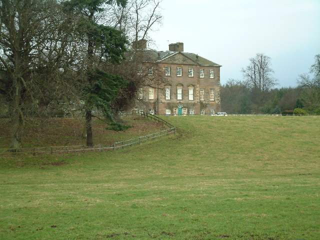
Nearby Locations
Related Wikis

East Fife G.W.F.C.
East Fife Girls and Women's Football Club are a Scottish women's football team based in the Fife coastal town of Leven. The team, established in 2000,...
Levenmouth
Levenmouth is a conurbation comprising a network of settlements on the north side of the Firth of Forth, in Fife on the east coast of Scotland. It consists...
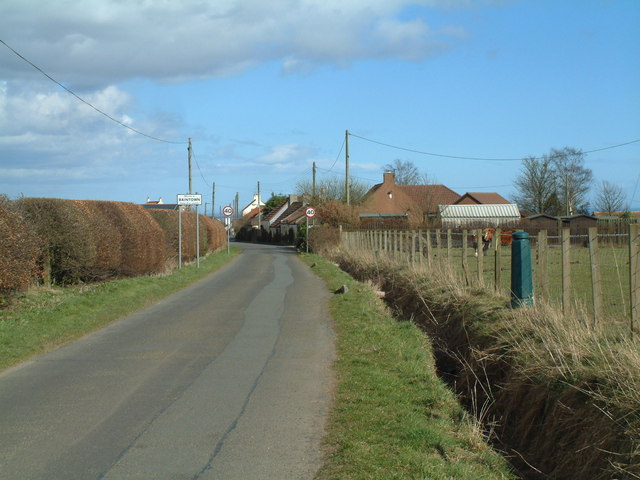
Baintown
Baintown is a hamlet located in Fife, a council area of Scotland, UK.
Bonnybank
Bonnybank is a small village in the Levenmouth area of Fife, approximately 2 miles north of Leven and situated on the main road (the A916) between Kennoway...
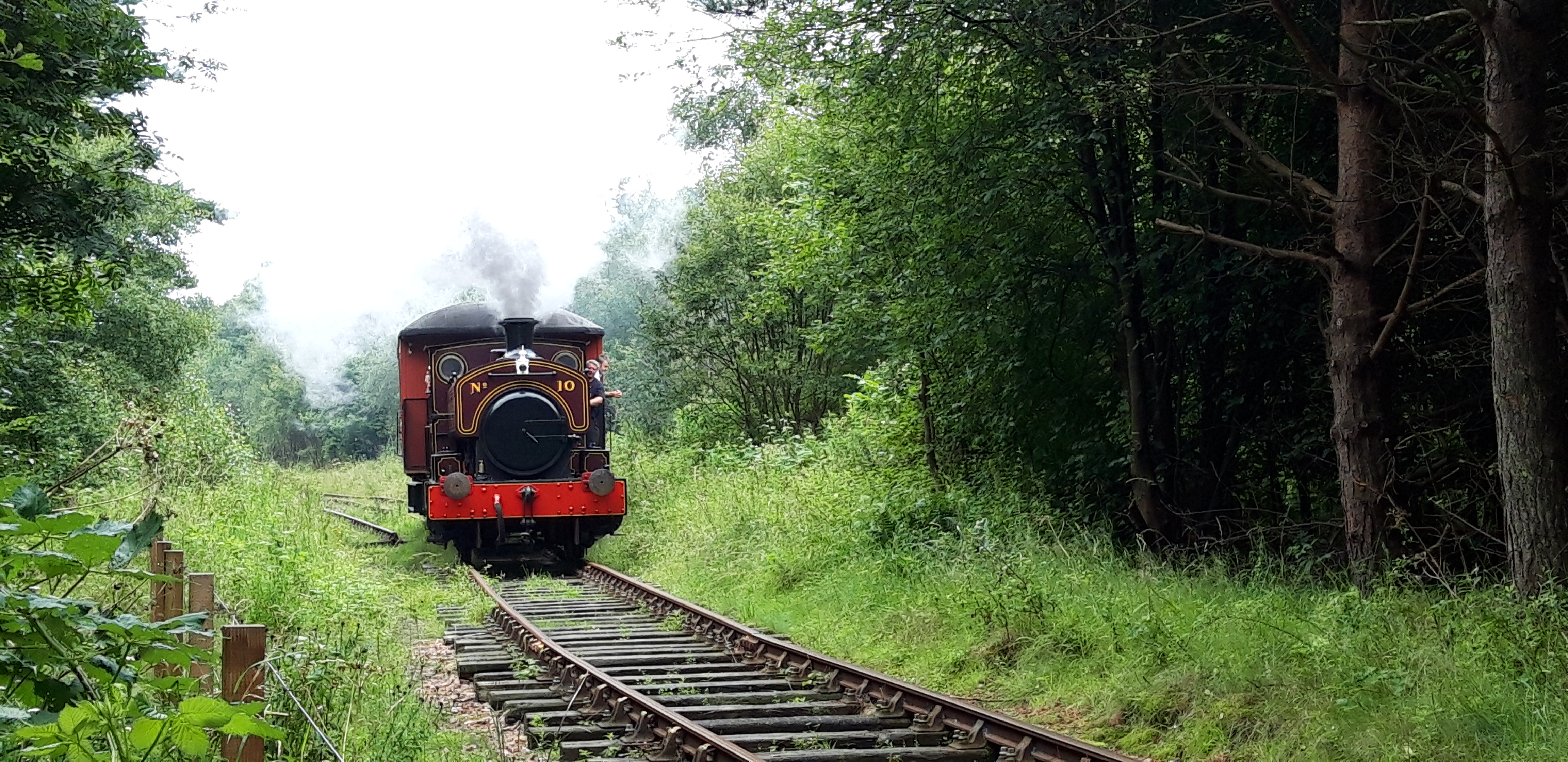
Fife Heritage Railway
Fife Heritage Railway is a heritage railway run by The Kingdom of Fife Railway Preservation Society, formed in 1992, which aims to showcase the heritage...
Leven, Fife
Leven (Scottish Gaelic: Inbhir Lìobhann) is a seaside town in Fife, set in the east Central Lowlands of Scotland. It lies on the coast of the Firth of...

Scoonie
Scoonie is a settlement and parish in Fife, Scotland, the parish contains the town of Leven. It is bordered on the north by the parishes of Kettle and...

Bawbee Bridge
Bawbee Bridge is a bridge connecting Leven and Methil in Levenmouth, Fife, Scotland. == History == A new bridge, built at a cost of £200,000, was opened...
Nearby Amenities
Located within 500m of 56.213908,-3.0113998Have you been to Bank Strip?
Leave your review of Bank Strip below (or comments, questions and feedback).