Blackety Wood
Wood, Forest in Fife
Scotland
Blackety Wood
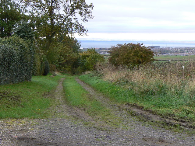
Blackety Wood is a picturesque and serene woodland located in Fife, Scotland. Situated near the village of Wood, this enchanting forest spans over a vast area, offering visitors a tranquil escape from the hustle and bustle of everyday life.
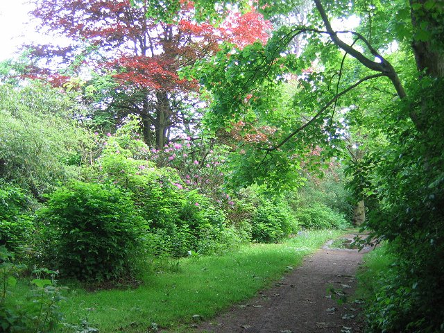
The wood is known for its dense canopy of trees, predominantly consisting of oak, beech, and birch. These towering trees create a sense of seclusion and provide a cool and shaded environment even on the hottest summer days. The forest floor is adorned with a vibrant carpet of ferns, moss, and wildflowers, adding to the wood's natural beauty.
Numerous walking trails wind their way through Blackety Wood, allowing visitors to explore its hidden corners and discover its wonders. These paths cater to all levels of fitness and offer a variety of routes, from easy strolls to more challenging hikes. Along the way, visitors may encounter an array of wildlife, including deer, squirrels, and a multitude of bird species.
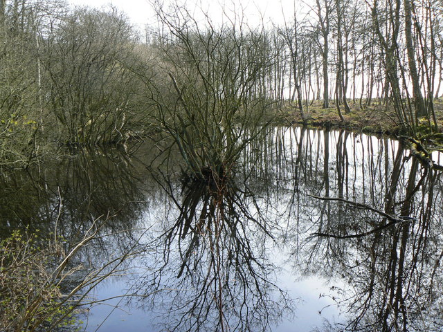
The wood is also home to a small stream that meanders through its heart, offering a soothing babble and providing a habitat for various aquatic creatures. The sound of the water combined with the gentle rustling of leaves creates a peaceful ambiance that further enhances the wood's serene atmosphere.
Blackety Wood is a popular destination for nature enthusiasts, families, and those seeking solace in nature. With its breathtaking beauty and tranquil setting, it provides a welcome respite from the stresses of modern life, allowing visitors to connect with the natural world and rejuvenate their spirits.
If you have any feedback on the listing, please let us know in the comments section below.
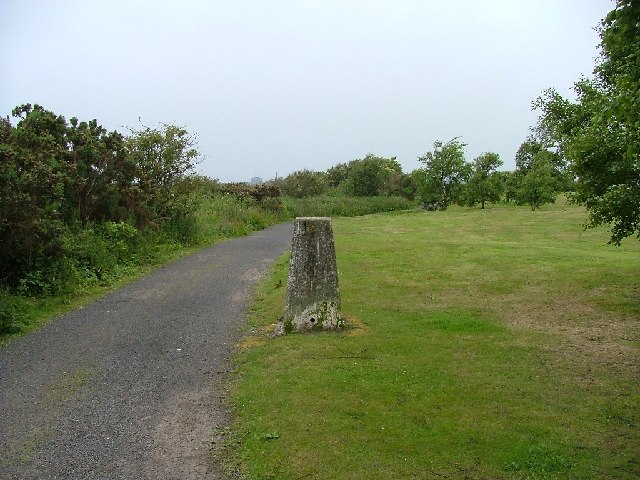
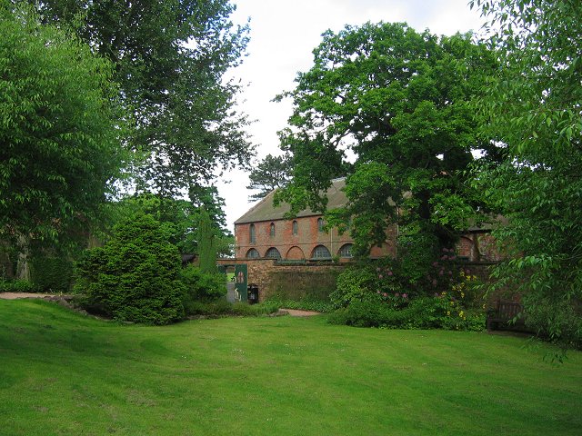
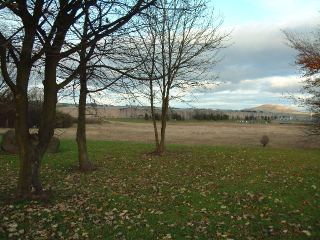
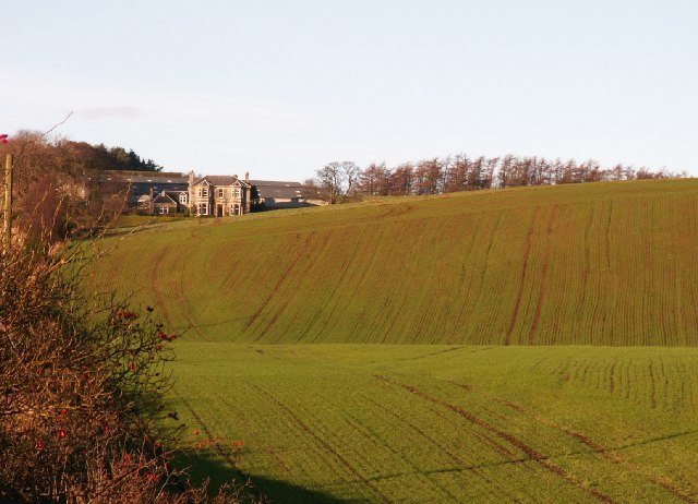
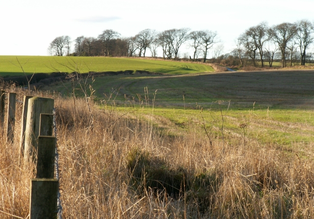
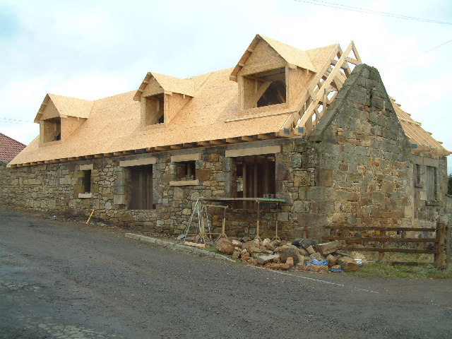
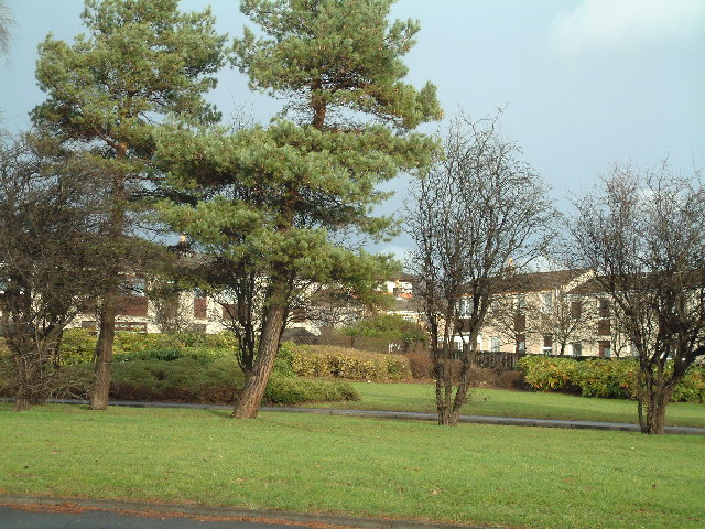
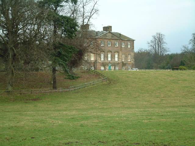
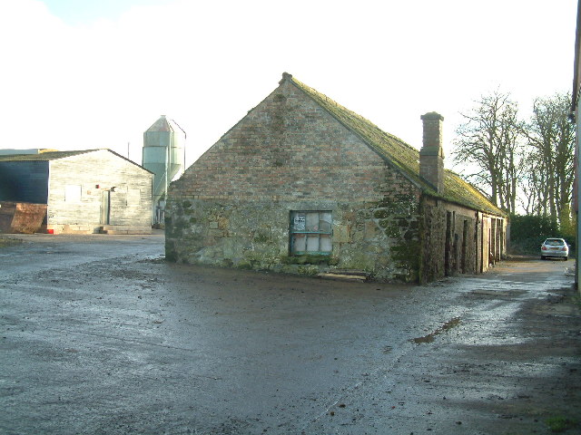
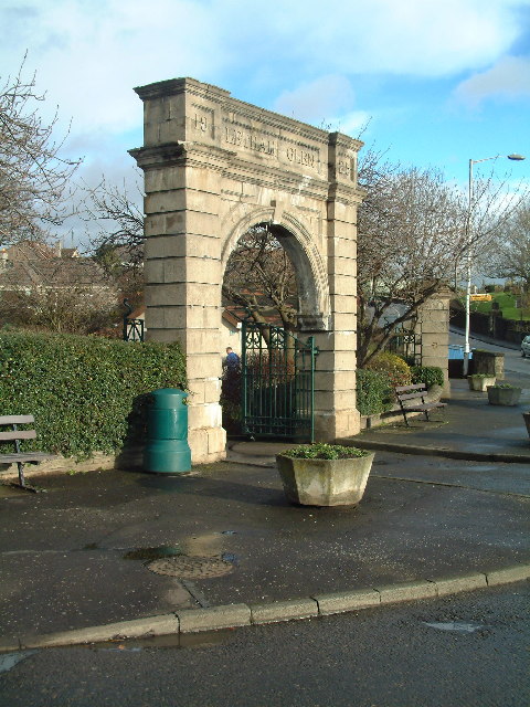
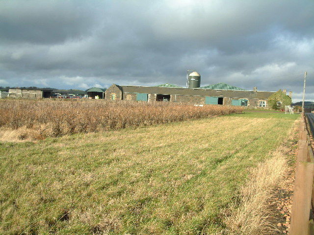
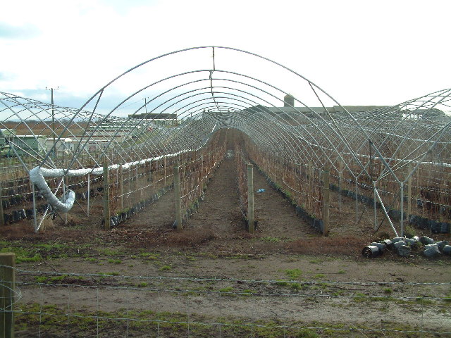
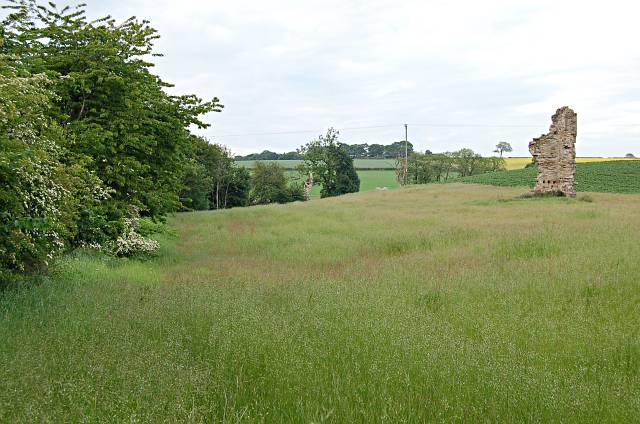
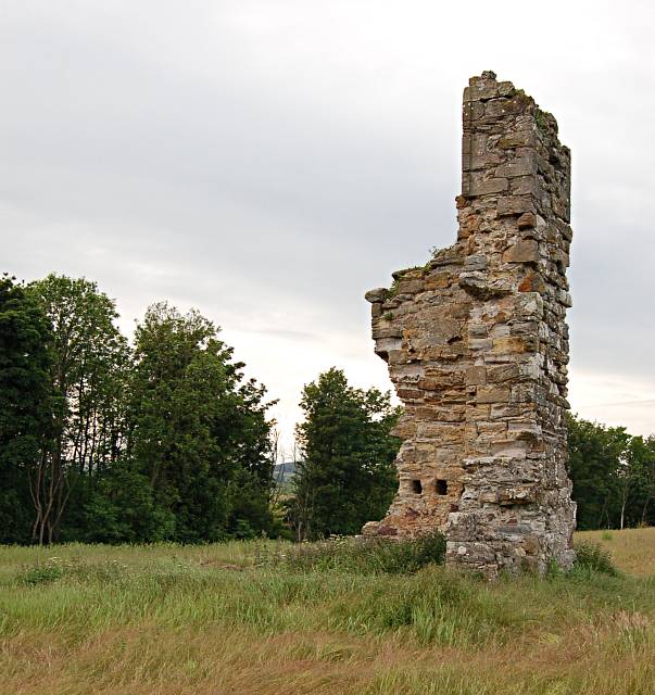
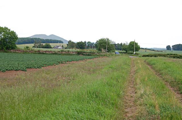
Blackety Wood Images
Images are sourced within 2km of 56.214152/-3.0046988 or Grid Reference NO3702. Thanks to Geograph Open Source API. All images are credited.
Blackety Wood is located at Grid Ref: NO3702 (Lat: 56.214152, Lng: -3.0046988)
Unitary Authority: Fife
Police Authority: Fife
What 3 Words
///exposes.uppermost.simple. Near Leven, Fife
Nearby Locations
Related Wikis

East Fife G.W.F.C.
East Fife Girls and Women's Football Club are a Scottish women's football team based in the Fife coastal town of Leven. The team, established in 2000,...
Levenmouth
Levenmouth is a conurbation comprising a network of settlements on the north side of the Firth of Forth, in Fife on the east coast of Scotland. It consists...
Leven, Fife
Leven (Scottish Gaelic: Inbhir Lìobhann) is a seaside town in Fife, set in the east Central Lowlands of Scotland. It lies on the coast of the Firth of...

Scoonie
Scoonie is a settlement and parish in Fife, Scotland, the parish contains the town of Leven. It is bordered on the north by the parishes of Kettle and...
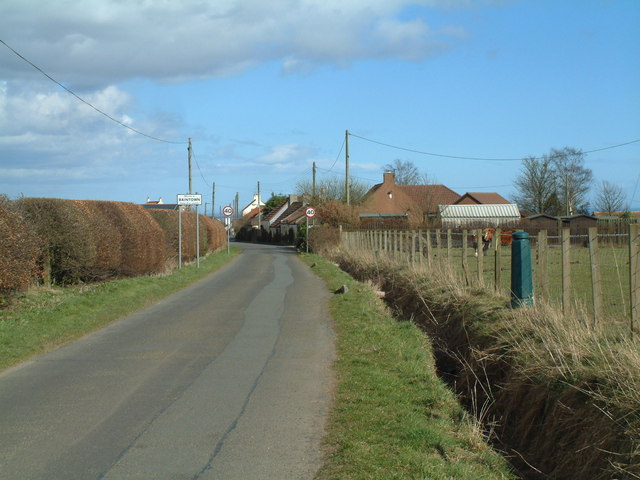
Baintown
Baintown is a hamlet located in Fife, a council area of Scotland, UK.
Bonnybank
Bonnybank is a small village in the Levenmouth area of Fife, approximately 2 miles north of Leven and situated on the main road (the A916) between Kennoway...
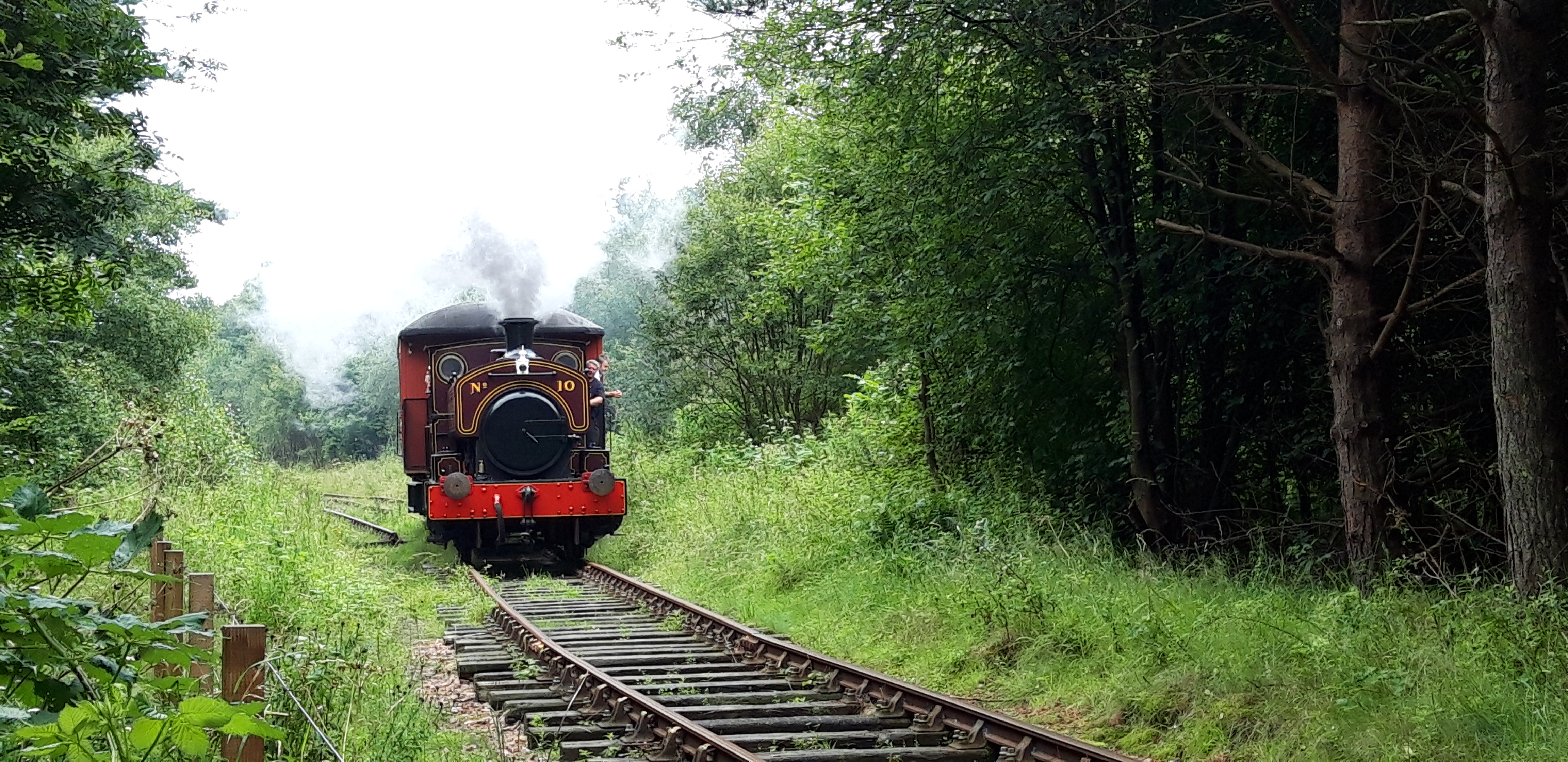
Fife Heritage Railway
Fife Heritage Railway is a heritage railway run by The Kingdom of Fife Railway Preservation Society, formed in 1992, which aims to showcase the heritage...

Bawbee Bridge
Bawbee Bridge is a bridge connecting Leven and Methil in Levenmouth, Fife, Scotland. == History == A new bridge, built at a cost of £200,000, was opened...
Nearby Amenities
Located within 500m of 56.214152,-3.0046988Have you been to Blackety Wood?
Leave your review of Blackety Wood below (or comments, questions and feedback).