Governor's Wood
Wood, Forest in Midlothian
Scotland
Governor's Wood
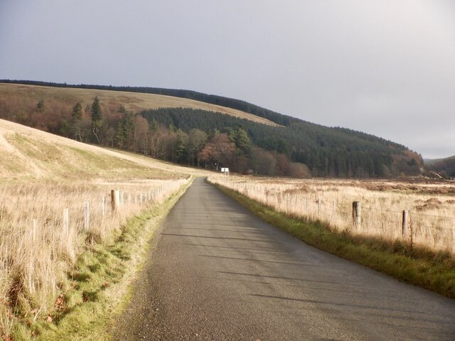
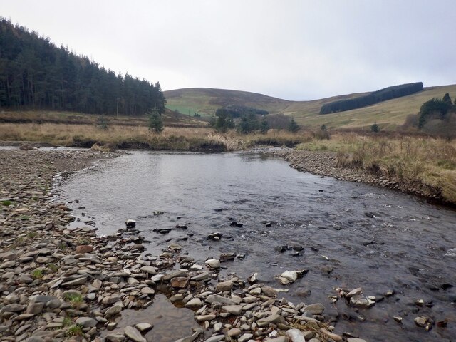
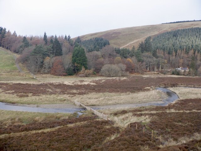
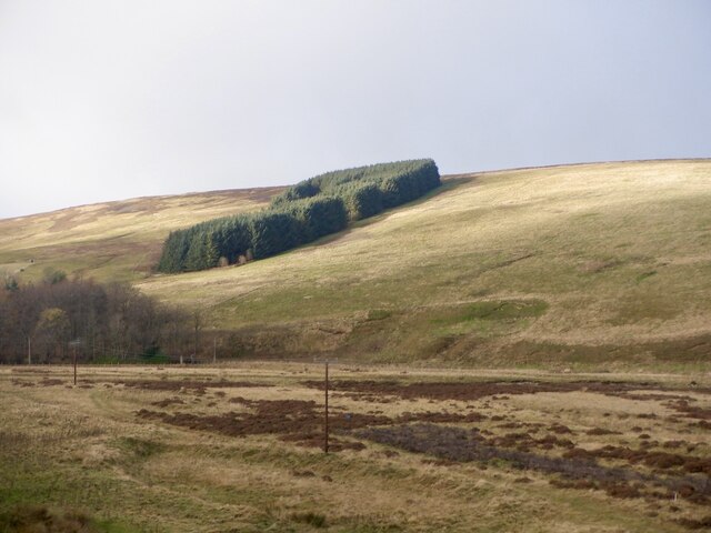
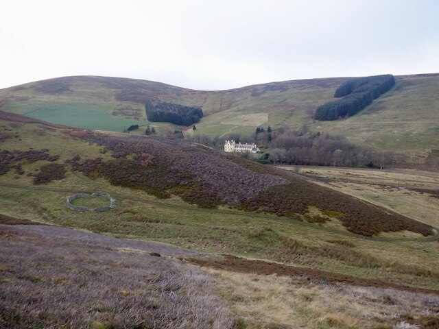
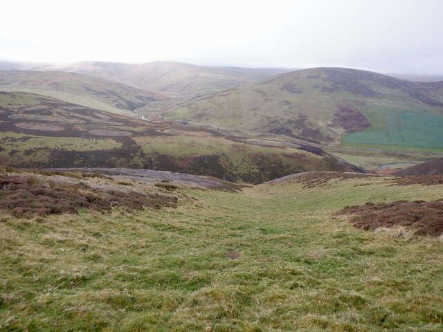
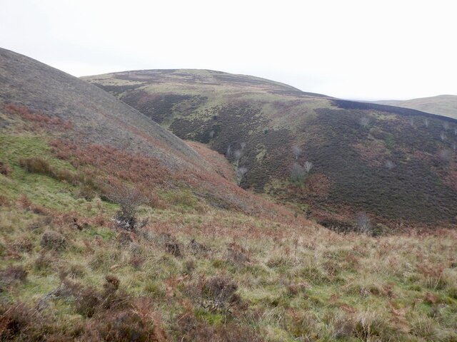
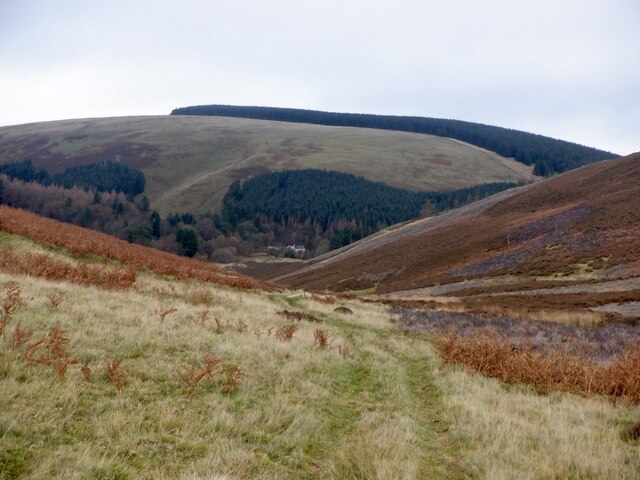
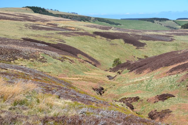
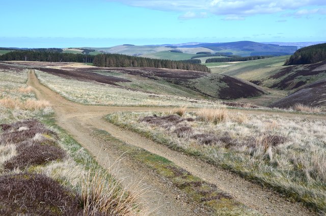
Governor's Wood, located in Midlothian, Scotland, is a picturesque forest that covers an area of approximately 110 hectares. It is situated in the southern part of Midlothian, about 12 miles south of Edinburgh. The wood is part of the larger Pentland Hills Regional Park, known for its natural beauty and diverse wildlife.
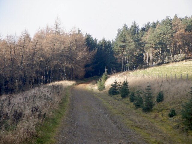
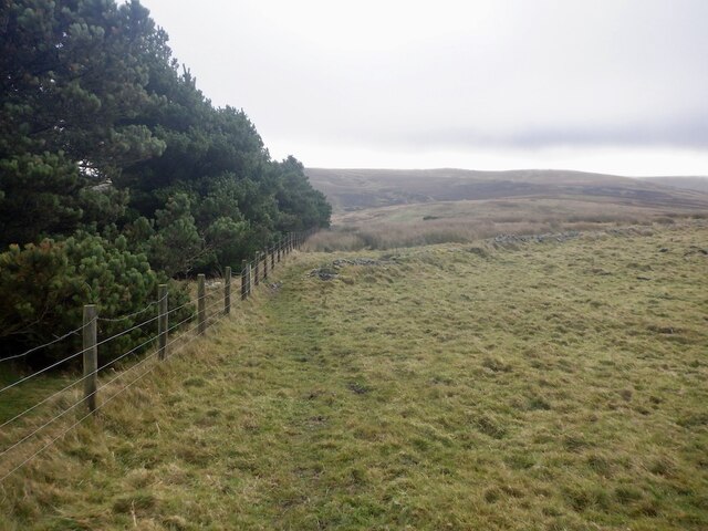
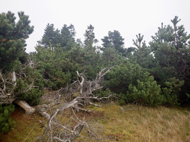
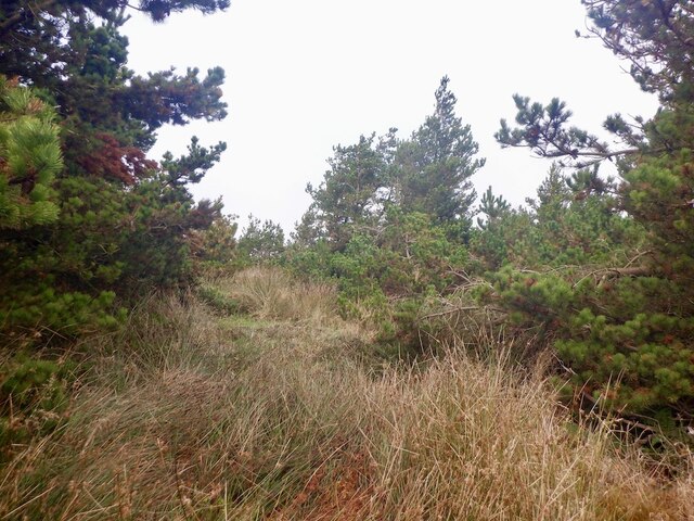
Governor's Wood is characterized by its mature trees, predominantly consisting of native species such as oak, beech, and birch. These towering trees create a dense canopy, providing a shady and tranquil atmosphere for visitors to explore and enjoy. The forest floor is covered in a lush carpet of ferns, mosses, and wildflowers, adding to its natural charm.
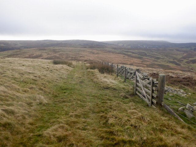
The wood offers a network of well-maintained walking trails, making it a popular destination for hikers, nature enthusiasts, and families. These paths wind through the forest, offering stunning views of the surrounding countryside, including the nearby Pentland Hills. Visitors may also encounter a variety of wildlife, including deer, foxes, and numerous bird species that call the wood their home.
Governor's Wood is not only a haven for nature lovers; it also serves as an important educational resource. It offers guided tours and educational programs for schools, providing students with the opportunity to learn about the local ecosystem, biodiversity, and conservation efforts.
Overall, Governor's Wood is a cherished natural gem in Midlothian. Its beauty, tranquility, and educational value make it a must-visit destination for anyone seeking to immerse themselves in Scotland's natural wonders.
If you have any feedback on the listing, please let us know in the comments section below.
Governor's Wood Images
Images are sourced within 2km of 55.7512/-2.999917 or Grid Reference NT3751. Thanks to Geograph Open Source API. All images are credited.
Governor's Wood is located at Grid Ref: NT3751 (Lat: 55.7512, Lng: -2.999917)
Unitary Authority: The Scottish Borders
Police Authority: The Lothians and Scottish Borders
What 3 Words
///clumped.boat.scan. Near Gorebridge, Midlothian
Nearby Locations
Related Wikis

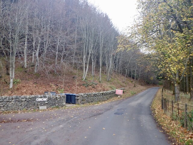
Carcant
Carcant is a small settlement and a wind farm, near Heriot in the Scottish Borders area of Scotland. A famous inhabitant of Carcant was Eric Liddell....

Garvald, Scottish Borders
Garvald (Scots: Garvit) is a hamlet on the B7007, near Dewar, by the Dewar Burn, in the Moorfoot Hills, in the Scottish Borders area of Scotland, in the...

Heriot, Scottish Borders
Heriot is a small village in the Moorfoot Hills southeast of Edinburgh, Scotland, within Eildon (part of the Scottish Borders council area, though historically...

Peatrig Hill
Peatrig Hill is a minor hill in Scotland, located about 15 km south-southeast of Edinburgh. One of the Moorfoot Hills, it is located in the parish of Heriot...
Dewar, Scottish Borders
Dewar is a village by the Dewar Burn and Peatrig Hill, in the Scottish Borders area of Scotland. Places nearby include Allanshaugh, Borthwick Hall, Fountainhall...
Halltree
Halltree is a hamlet in the Scottish Borders. == Etymology == The etymology of Halltree is debated, but the second element is likely to be a Cumbric word...

Heriot railway station
Heriot railway station served the village of Heriot, Scottish Borders, Scotland from 1848 to 1969 on the Waverley Route. == History == The station opened...

Borders Railway
The Borders Railway connects the city of Edinburgh with Galashiels and Tweedbank in the Scottish Borders. The railway follows most of the alignment of...
Nearby Amenities
Located within 500m of 55.7512,-2.999917Have you been to Governor's Wood?
Leave your review of Governor's Wood below (or comments, questions and feedback).