Red Scar
Valley in Midlothian
Scotland
Red Scar
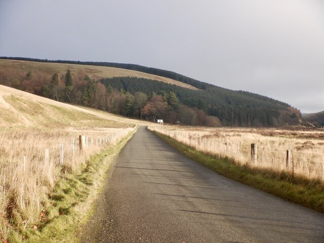
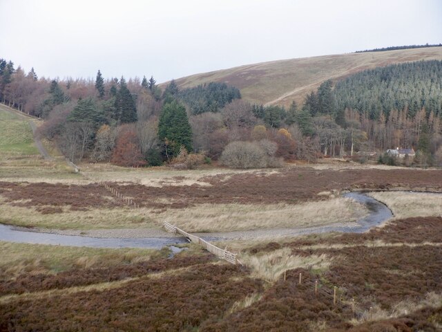
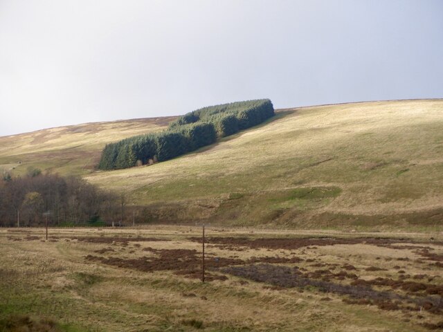
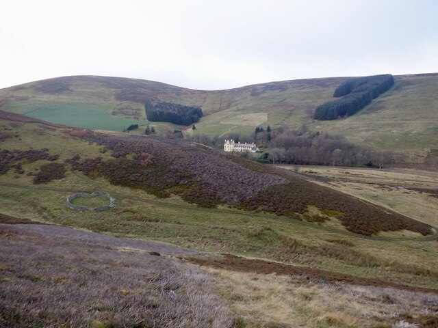
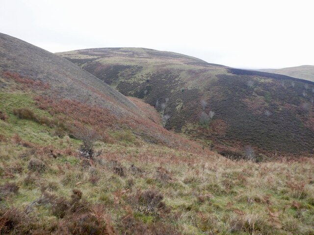
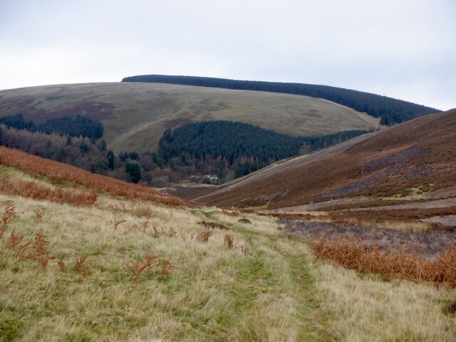
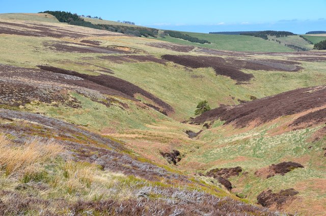
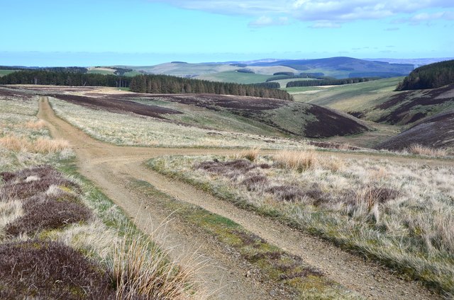
Red Scar, Midlothian (Valley) is a picturesque village located in the heart of Midlothian, Scotland. Nestled in the beautiful valley, it is surrounded by rolling hills and lush green landscapes, which make it a popular destination for nature enthusiasts and outdoor enthusiasts alike.
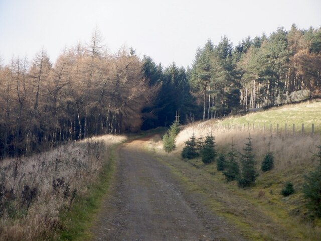
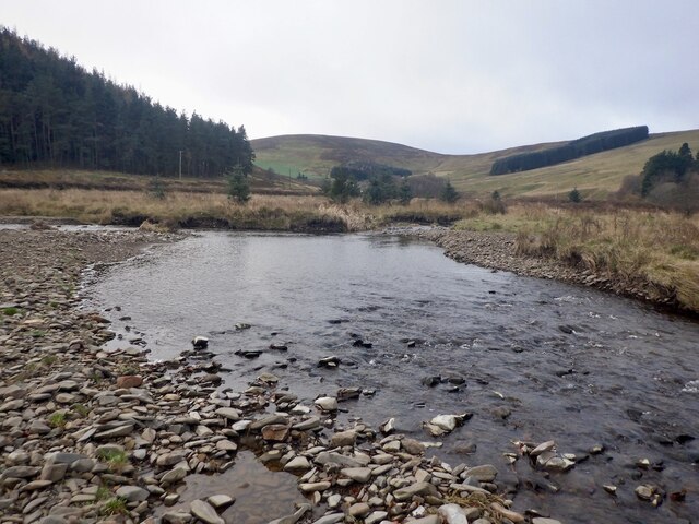
The village is known for its stunning natural beauty, with the River Esk flowing through it, providing a serene and peaceful atmosphere. The river offers opportunities for fishing and boating, attracting visitors from near and far. Additionally, the valley is dotted with charming cottages and traditional stone houses, adding to the village's quaint and idyllic charm.
Red Scar is also home to a close-knit community that takes pride in preserving its rich history and heritage. The village has a few local amenities, including a village hall, a small convenience store, and a cozy pub, where residents and visitors can gather and socialize.
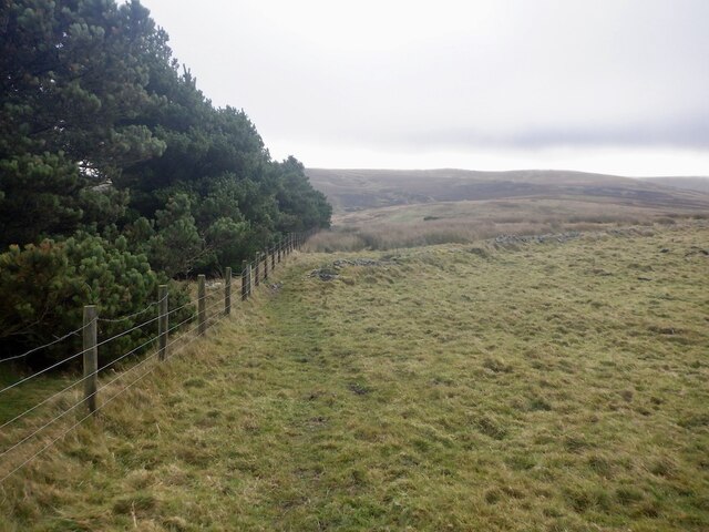
For those seeking outdoor adventures, the surrounding area offers numerous walking and cycling trails, providing breathtaking views of the valley and its surroundings. The nearby Pentland Hills Regional Park offers further opportunities for hiking, mountain biking, and even skiing during the winter months.
With its natural beauty, friendly community, and abundance of outdoor activities, Red Scar, Midlothian (Valley) is a hidden gem that offers a tranquil escape from the bustling city life. Whether exploring its scenic trails, immersing in its rich history, or simply enjoying the peaceful ambiance, visitors are sure to find solace and serenity in this charming Scottish village.
If you have any feedback on the listing, please let us know in the comments section below.
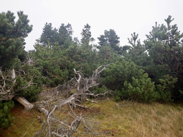
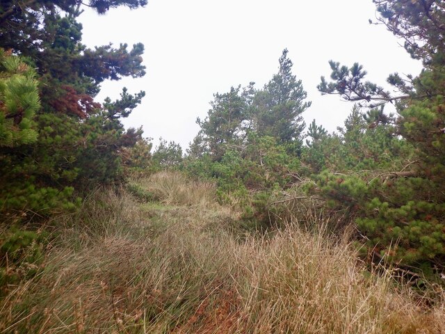
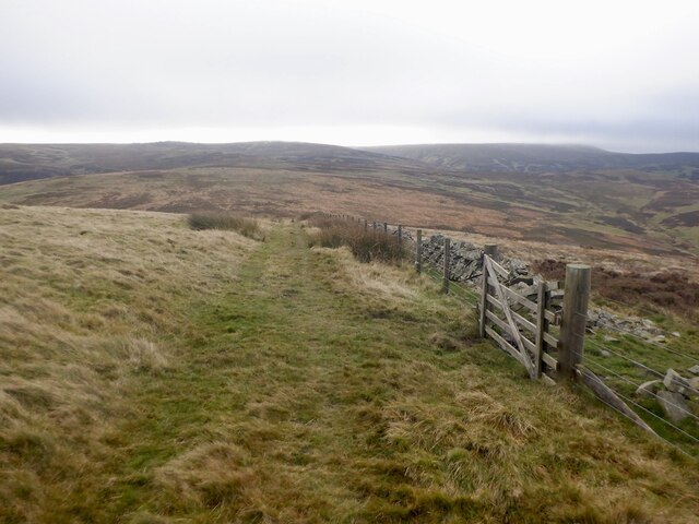
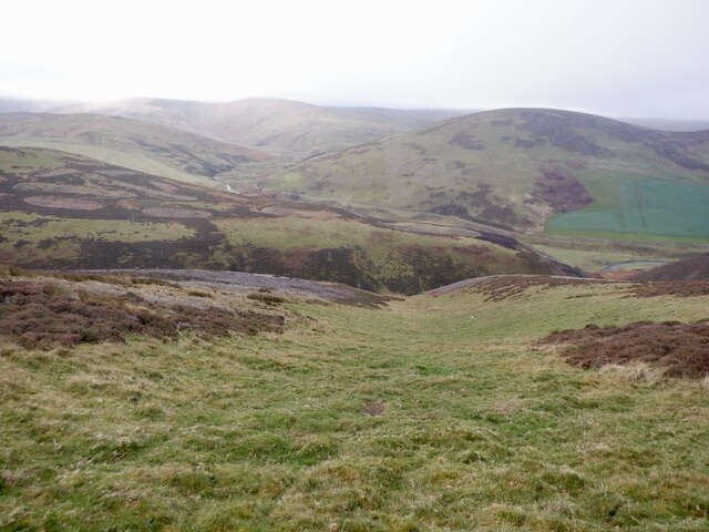
Red Scar Images
Images are sourced within 2km of 55.753434/-2.9903347 or Grid Reference NT3751. Thanks to Geograph Open Source API. All images are credited.
Red Scar is located at Grid Ref: NT3751 (Lat: 55.753434, Lng: -2.9903347)
Unitary Authority: The Scottish Borders
Police Authority: The Lothians and Scottish Borders
What 3 Words
///slugs.greed.salt. Near Gorebridge, Midlothian
Nearby Locations
Related Wikis

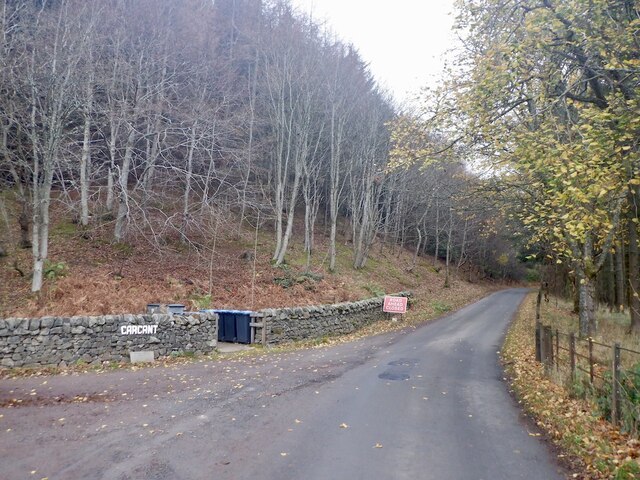
Carcant
Carcant is a small settlement and a wind farm, near Heriot in the Scottish Borders area of Scotland. A famous inhabitant of Carcant was Eric Liddell....

Heriot, Scottish Borders
Heriot is a small village in the Moorfoot Hills southeast of Edinburgh, Scotland, within Eildon (part of the Scottish Borders council area, though historically...

Garvald, Scottish Borders
Garvald (Scots: Garvit) is a hamlet on the B7007, near Dewar, by the Dewar Burn, in the Moorfoot Hills, in the Scottish Borders area of Scotland, in the...

Peatrig Hill
Peatrig Hill is a minor hill in Scotland, located about 15 km south-southeast of Edinburgh. One of the Moorfoot Hills, it is located in the parish of Heriot...
Nearby Amenities
Located within 500m of 55.753434,-2.9903347Have you been to Red Scar?
Leave your review of Red Scar below (or comments, questions and feedback).