Bell Wood
Wood, Forest in Midlothian
Scotland
Bell Wood
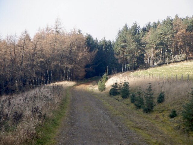
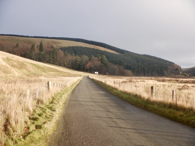
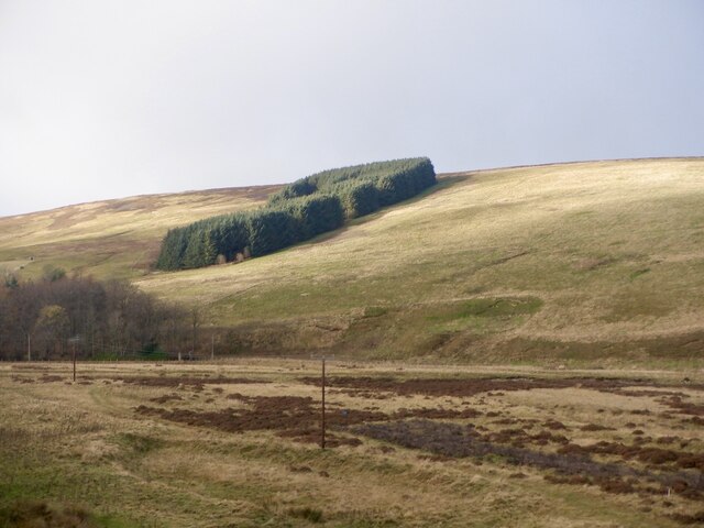
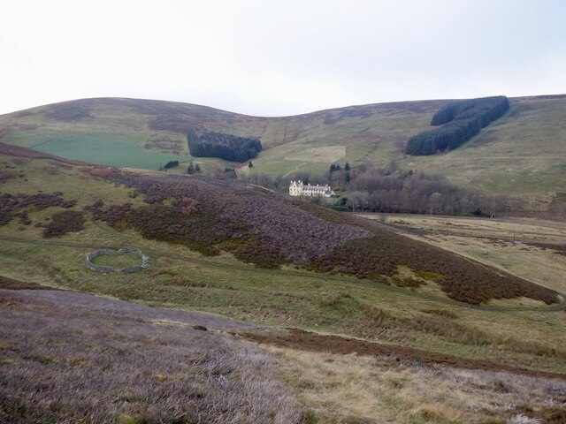
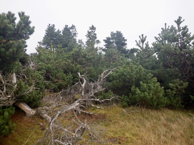
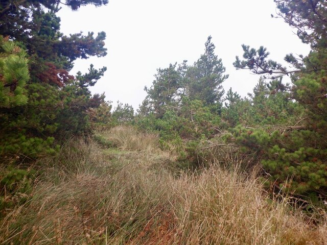
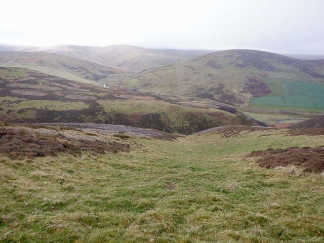
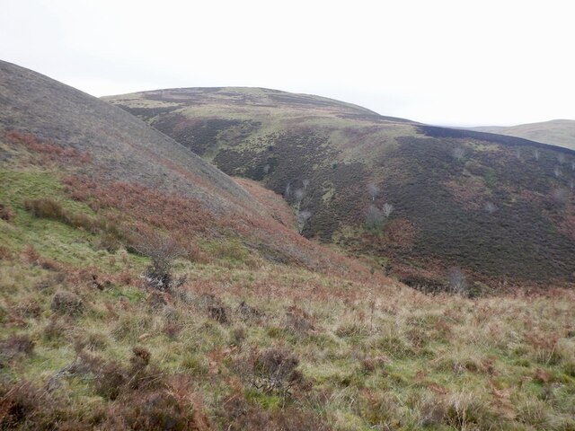
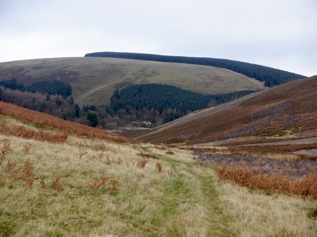
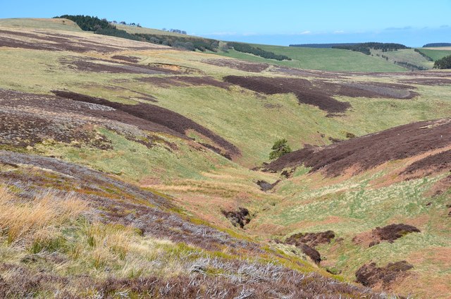
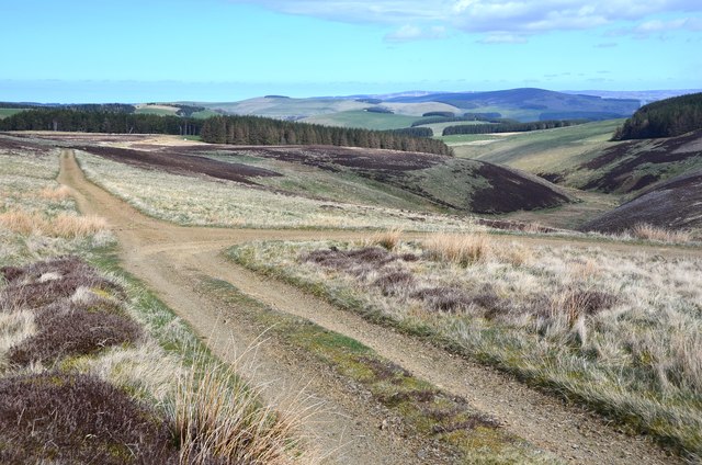
Bell Wood is a beautiful and enchanting forest located in Midlothian, Scotland. Spanning over a vast area, this woodland is characterized by its lush greenery, towering trees, and serene atmosphere. It is a popular destination for nature lovers, hikers, and those seeking a peaceful retreat away from the hustle and bustle of city life.
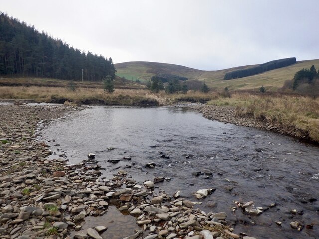
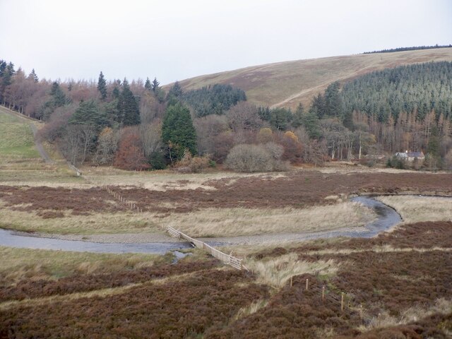
The wood is home to a rich variety of flora and fauna, providing a haven for wildlife enthusiasts and birdwatchers. Visitors can expect to encounter native species such as red squirrels, roe deer, and a plethora of bird species including woodpeckers and owls. The forest floor is adorned with a carpet of wildflowers during the spring and summer months, creating a picturesque landscape.
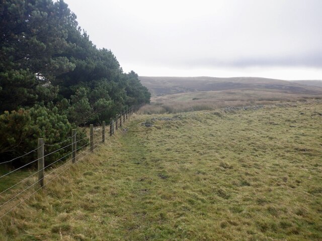
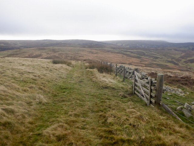
Trails and pathways meander through the wood, allowing visitors to explore its hidden treasures. These paths are well-maintained and provide an opportunity for leisurely walks or more challenging hikes. The towering trees provide shade during the summer months, creating a cool and tranquil environment.
In addition to its natural beauty, Bell Wood also holds historical significance. The forest is dotted with remnants of ancient settlements and archaeological sites, dating back to prehistoric times. These historical features add a sense of mystery and intrigue to the wood, making it an interesting destination for history enthusiasts.
Overall, Bell Wood in Midlothian is a captivating destination that offers a peaceful escape into nature. Its breathtaking beauty, diverse wildlife, and historical significance make it a must-visit location for anyone exploring the region.
If you have any feedback on the listing, please let us know in the comments section below.
Bell Wood Images
Images are sourced within 2km of 55.752711/-2.9897428 or Grid Reference NT3751. Thanks to Geograph Open Source API. All images are credited.
Bell Wood is located at Grid Ref: NT3751 (Lat: 55.752711, Lng: -2.9897428)
Unitary Authority: The Scottish Borders
Police Authority: The Lothians and Scottish Borders
What 3 Words
///bagels.myself.different. Near Gorebridge, Midlothian
Nearby Locations
Related Wikis

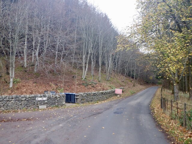
Carcant
Carcant is a small settlement and a wind farm, near Heriot in the Scottish Borders area of Scotland. A famous inhabitant of Carcant was Eric Liddell....

Heriot, Scottish Borders
Heriot is a small village in the Moorfoot Hills southeast of Edinburgh, Scotland, within Eildon (part of the Scottish Borders council area, though historically...

Garvald, Scottish Borders
Garvald (Scots: Garvit) is a hamlet on the B7007, near Dewar, by the Dewar Burn, in the Moorfoot Hills, in the Scottish Borders area of Scotland, in the...

Peatrig Hill
Peatrig Hill is a minor hill in Scotland, located about 15 km south-southeast of Edinburgh. One of the Moorfoot Hills, it is located in the parish of Heriot...
Nearby Amenities
Located within 500m of 55.752711,-2.9897428Have you been to Bell Wood?
Leave your review of Bell Wood below (or comments, questions and feedback).