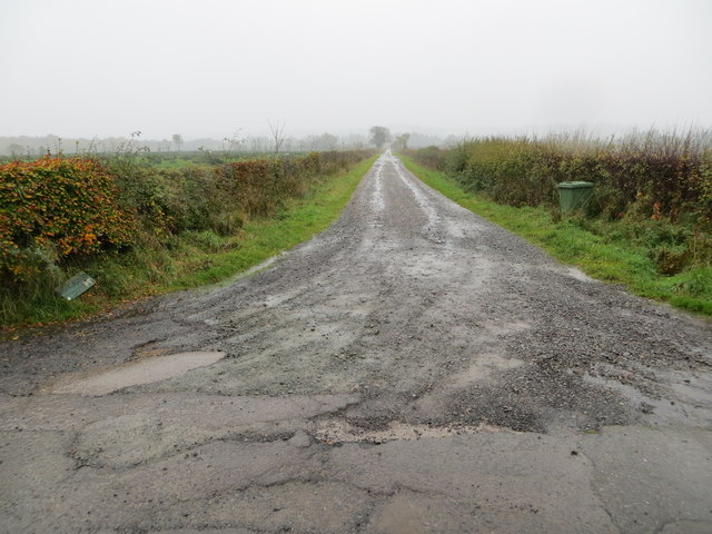
Hagg Plantation

Wood, Forest in Dumfriesshire

Scotland

Hagg Plantation

The old A7 Now replaced by a wide and straight route above, this is the former alignment near the Esk, downstream of Langholm. Some of the old road is accessible as a through loop, this bit narrows to a path at the north end.
The old A7 Credit: Richard Webb

Hagg Plantation is a picturesque wooded area located in Dumfriesshire, Scotland. Spanning over a vast expanse of land, the plantation is renowned for its stunning forest scenery and diverse range of plant and animal species. It is situated near the village of Hagg, nestled amidst the rolling hills and tranquil countryside.

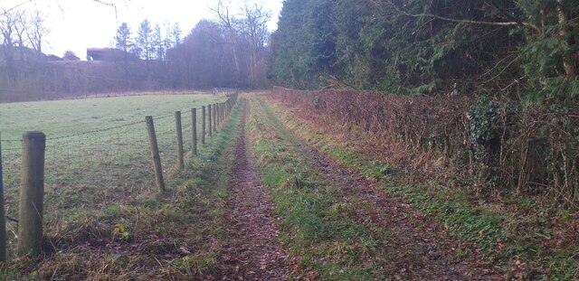
The plantation boasts a variety of tree species, including oak, beech, and birch, which provide a dense canopy that filters sunlight, creating a cool and serene atmosphere. The woodland floor is adorned with a rich carpet of mosses, ferns, and wildflowers, adding to the enchanting ambiance.

Hagg Plantation is a haven for wildlife enthusiasts, offering a habitat for numerous animals and birds. Red squirrels can be spotted bounding from tree to tree, while roe deer graze in the peaceful clearings. Birdwatchers can delight in the presence of woodpeckers, tawny owls, and various species of finches and tits.

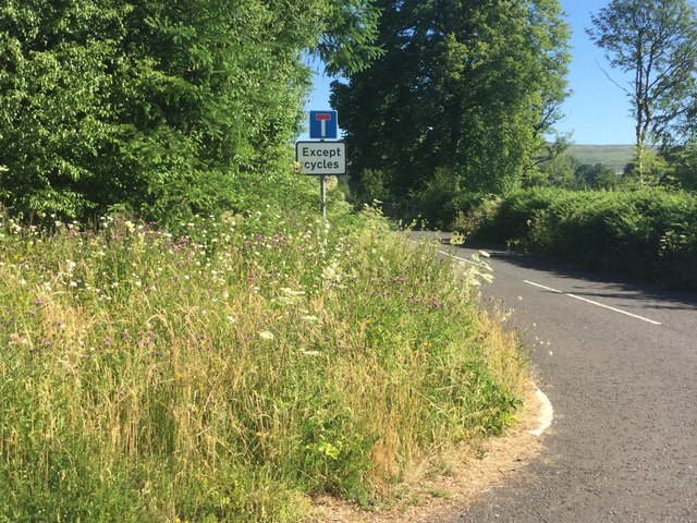
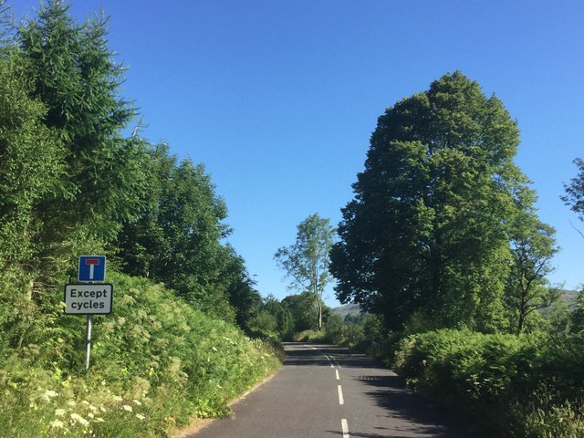
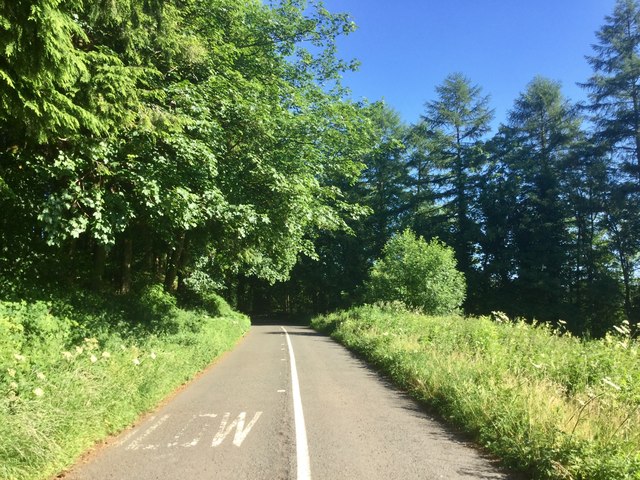
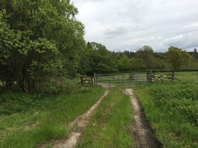
Visitors to Hagg Plantation can explore the numerous walking trails that meander through the woods, allowing them to fully immerse themselves in the natural beauty of the area. The plantation also features picnic areas, providing an ideal spot for a leisurely lunch amidst the tranquil surroundings.

Hagg Plantation is not only a haven for wildlife and nature enthusiasts, but also a valuable resource for the local community. It serves as an important carbon sink, helping to mitigate the effects of climate change, and provides a recreational space for residents and visitors alike to enjoy the beauty of the Scottish countryside.

If you have any feedback on the listing, please let us know in the comments section below.

Hagg Plantation Images

Images are sourced within 2km of 55.102848/-2.9837395 or Grid Reference NY3779. Thanks to Geograph Open Source API. All images are credited.

The old A7 Now replaced by a wide and straight route above, this is the former alignment near the Esk, downstream of Langholm. Some of the old road is accessible as a through loop, this bit narrows to a path at the north end.
The old A7
Now replaced by a wide and straight route above, this is the former alignment near the Esk, downstream of Langholm. Some of the old road is accessible as a through loop, this bit narrows to a path at the north end.
Old A7 Now a loop road below the modern alignment south of Langholm.
Old A7
Now a loop road below the modern alignment south of Langholm.
Road (B6318) at Upper Mumbie Looking north-westward.
Road (B6318) at Upper Mumbie
Looking north-westward.
Ordnance Survey Cut Mark This mark can be found on the wall of a roadside building at Upper Mumbie Farm. The benchmark height is recorded as being 102.927 metres above sea level.
For more detail see : <span class="nowrap"><a title="https://www.bench-marks.org.uk/bm43287" rel="nofollow ugc noopener" href="https://www.bench-marks.org.uk/bm43287">Link</a><img style="margin-left:2px;" alt="External link" title="External link - shift click to open in new window" src="https://s1.geograph.org.uk/img/external.png" width="10" height="10"/></span>
Ordnance Survey Cut Mark
This mark can be found on the wall of a roadside building at Upper Mumbie Farm. The benchmark height is recorded as being 102.927 metres above sea level. For more detail see : LinkExternal link
Upper Mumbie, Farm Building Farm building at Upper Mumbie Farm, named as Upper Mumbiehirst on maps prior to the mid-1950's. There is an OS cut benchmark on this building - <span class="nowrap"><a title="https://www.bench-marks.org.uk/bm43287" rel="nofollow ugc noopener" href="https://www.bench-marks.org.uk/bm43287">Link</a><img style="margin-left:2px;" alt="External link" title="External link - shift click to open in new window" src="https://s1.geograph.org.uk/img/external.png" width="10" height="10"/></span>
Upper Mumbie, Farm Building
Farm building at Upper Mumbie Farm, named as Upper Mumbiehirst on maps prior to the mid-1950's. There is an OS cut benchmark on this building - LinkExternal link
Benchmark at Upper Mumbie Ordnance Survey benchmark on a farm building at Upper Mumbie Farm - <span class="nowrap"><a title="https://www.bench-marks.org.uk/bm43287" rel="nofollow ugc noopener" href="https://www.bench-marks.org.uk/bm43287">Link</a><img style="margin-left:2px;" alt="External link" title="External link - shift click to open in new window" src="https://s1.geograph.org.uk/img/external.png" width="10" height="10"/></span>
Benchmark at Upper Mumbie
Ordnance Survey benchmark on a farm building at Upper Mumbie Farm - LinkExternal link
Gated farm track near Enthorn
Gilnockie Tower Originally known as Hollows Tower, Gilnockie Tower is a 16th-century tower house on the banks of the River Esk. It was built around 1520 by Johnnie Armstrong of Gilnockie who was one of the most famous border reivers.
Gilnockie Tower
Originally known as Hollows Tower, Gilnockie Tower is a 16th-century tower house on the banks of the River Esk. It was built around 1520 by Johnnie Armstrong of Gilnockie who was one of the most famous border reivers.
Farmland beside the A7 A small burn, Cross Burn, flows down (right) to join the River Esk.
Farmland beside the A7
A small burn, Cross Burn, flows down (right) to join the River Esk.
Flowers by the A7 Spare ground between the new and old A7.
Flowers by the A7
Spare ground between the new and old A7.
Between old and new Partly wooded land between the new A7 and the older alignment by Haggs.
Between old and new
Partly wooded land between the new A7 and the older alignment by Haggs.
Track from the B720 to Brockleeswood Looking north-eastward.
Track from the B720 to Brockleeswood
Looking north-eastward.
Road and Gilnockie Bridge crossing over the River Esk Looking south-westward.
Road and Gilnockie Bridge crossing over the River Esk
Looking south-westward.
Road beside Byreburn Wood Looking north-eastward.
Road beside Byreburn Wood
Looking north-eastward.
Track from road (B6318) leading to Glencartholm Looking south-westward.
Track from road (B6318) leading to Glencartholm
Looking south-westward.
Gilnockie Bridge <span class="nowrap"><a title="https://flic.kr/p/QeiBpi" rel="nofollow ugc noopener" href="https://flic.kr/p/QeiBpi">Link</a><img style="margin-left:2px;" alt="External link" title="External link - shift click to open in new window" src="https://s1.geograph.org.uk/img/external.png" width="10" height="10"/></span>
Gilnockie Bridge
Track near Enthorn Rough track near Enthorn.
Track near Enthorn
Rough track near Enthorn.
Show me another place!

Hagg Plantation is located at Grid Ref: NY3779 (Lat: 55.102848, Lng: -2.9837395)

Unitary Authority: Dumfries and Galloway

Police Authority: Dumfries and Galloway

What 3 Words

///comply.number.tricycle. Near Langholm, Dumfries & Galloway

Related Wikis

Glencartholm

Glencartholm is a location in Dumfries and Galloway, southern Scotland, along the River Esk.The Glencartholm Volcanic Beds contain a Palaeozoic (specifically...
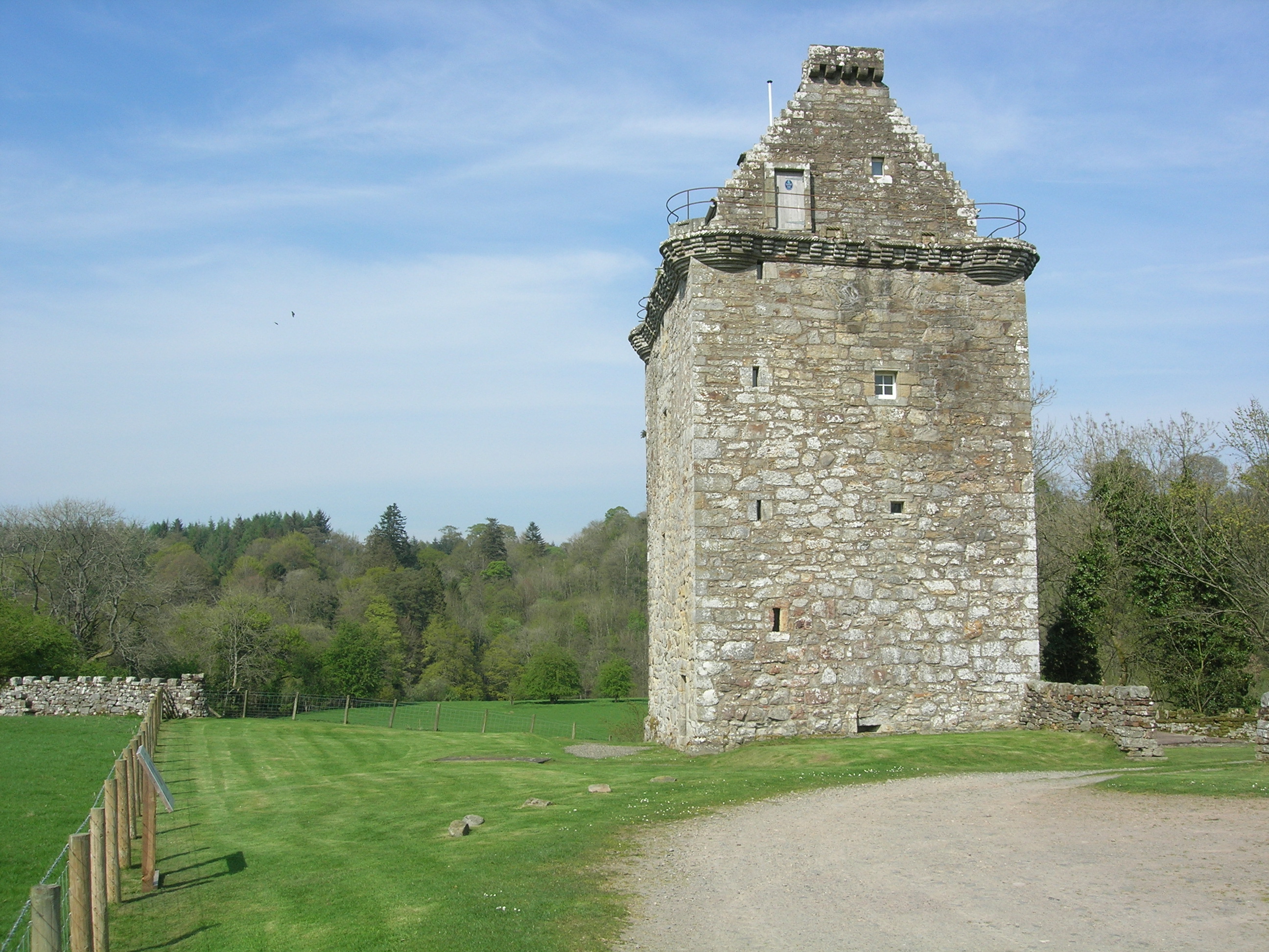
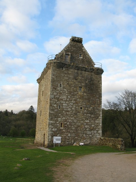
Gilnockie Tower

Gilnockie Tower is a 16th-century tower house, located at the hamlet of Hollows, 2.3 km north of Canonbie, in Dumfriesshire, south-west Scotland. The tower...

Gilnockie railway station

Gilnockie railway station served the hamlet of Hollows, Dumfries and Galloway, Scotland from 1864 to 1967 on the Border Union Railway. == History == The...

Fairy Loup

Fairy Loup is a waterfall located on Byre Burn, a tributary of River Esk, in Dumfries and Galloway, Scotland.The waterfall's name originates in a local...

Nearby Amenities

Located within 500m of 55.102848,-2.9837395
Hagg on Esk
Naptan AtcoCode: 680000640111
Naptan Bearing: N
Naptan BusStopType: CUS
Naptan CommonName: Hagg on Esk
Naptan Indicator: Road End
Naptan Landmark: Hagg on Esk
Naptan NaptanCode: 34237539
Naptan Notes: none
Naptan Street: A7
Naptan Verified: no
Source: naptan_import
Lat/Long: 55.1048079/-2.980017
Bus Stop
Hagg
Bus: yes
Naptan AtcoCode: 680000640222
Naptan Bearing: S
Naptan CommonName: Hagg
Naptan Indicator: opp Road End
Naptan NaptanCode: 34237542
Naptan Street: A7
Public Transport: platform
Ref: 680000640222
Source: NaPTAN
Lat/Long: 55.104758/-2.9795023
Power: pole
Lat/Long: 55.1028812/-2.9760939
Power: pole
Lat/Long: 55.1037236/-2.9770783
Power: pole
Lat/Long: 55.1042499/-2.9773545
Power: pole
Lat/Long: 55.1047885/-2.9776415
Power: pole
Lat/Long: 55.1054944/-2.9780063
Power: pole
Lat/Long: 55.1046578/-2.9780898
The data included in this document is from www.openstreetmap.org. The data is made available under ODbL.

Have you been to Hagg Plantation?

Leave your review of Hagg Plantation below (or comments, questions and feedback).