Bad an Teachdaire

Wood, Forest in Aberdeenshire

Scotland

Bad an Teachdaire

Clear Felling below Mullachdubh Forestry operations in the Forest of Bunzeach on the slopes of Mullachdubh hill
Clear Felling below Mullachdubh Credit: phil smith

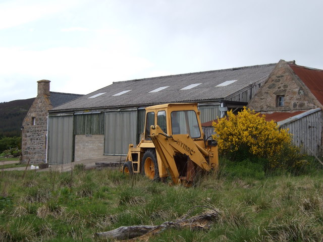
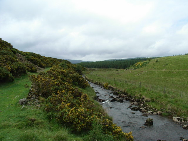
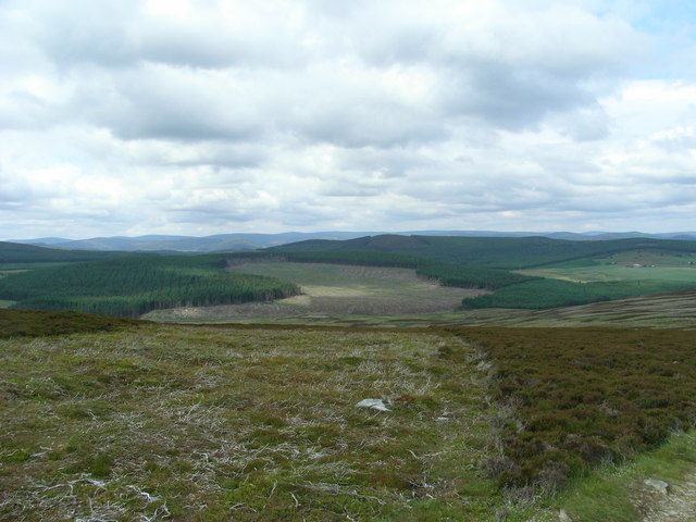
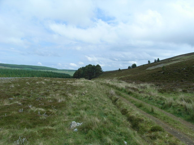
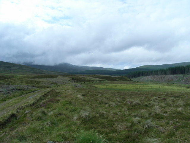
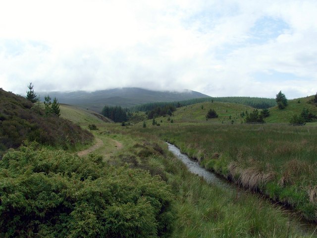
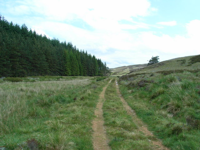
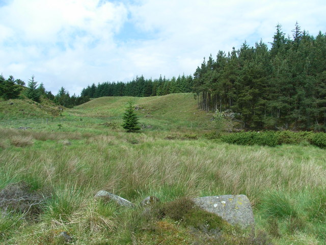
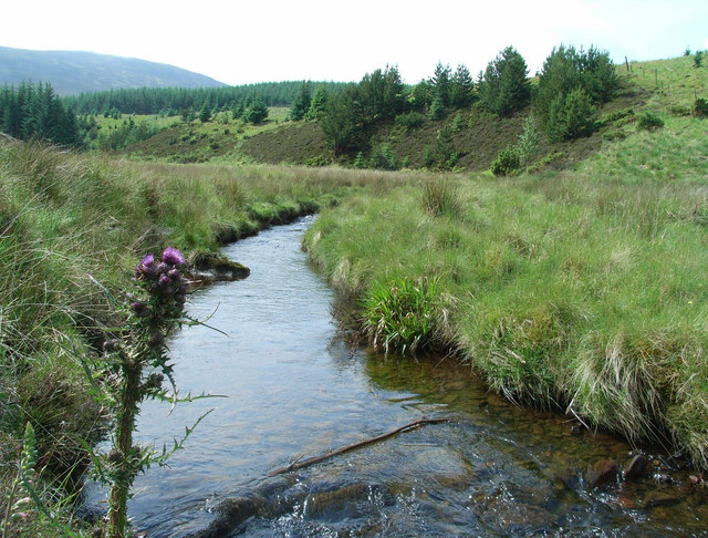
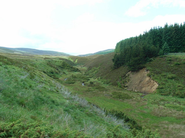
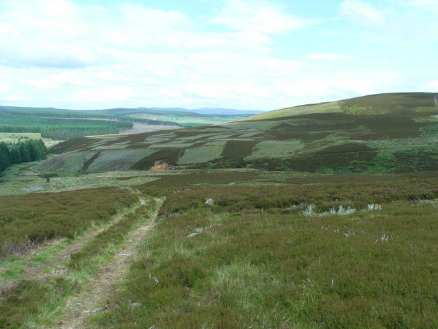
Located in Aberdeenshire, Scotland, Bad an Teachdaire is a picturesque wood nestled within a dense forested area. Spread across an expansive area, it offers a serene and tranquil environment for visitors to immerse themselves in nature. The wood is characterized by its dense canopy of trees, predominantly comprising native species such as oak, birch, and pine.

Bad an Teachdaire is a popular destination for nature enthusiasts, hikers, and birdwatchers due to its diverse wildlife. The wood is home to a wide range of bird species, including the elusive capercaillie, as well as various mammals like red squirrels, roe deer, and badgers. The sound of birdsong and the rustling of leaves create a soothing ambiance, making it an ideal place for relaxation and meditation.

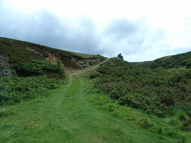
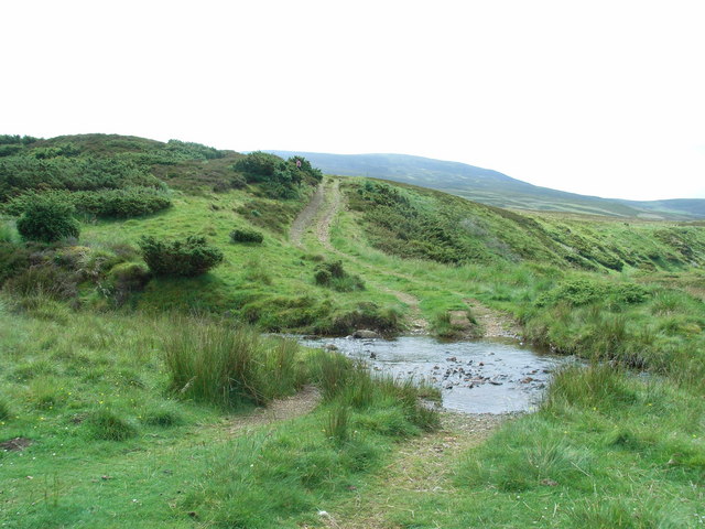
The wood is crisscrossed by a network of well-maintained footpaths, allowing visitors to explore its beauty at their own pace. The trails wind through the woodland, offering stunning views of the surrounding landscape. Along the way, there are several picnic areas where visitors can stop and enjoy a packed lunch amidst nature.

Bad an Teachdaire also holds historical significance, with ancient ruins and standing stones scattered throughout the wood. These remnants of the past add an air of mystery and intrigue to the area, attracting history enthusiasts and archaeology buffs.

Overall, Bad an Teachdaire in Aberdeenshire is a captivating wood and forest, offering a retreat from the hustle and bustle of urban life. Its natural beauty, abundant wildlife, and historical features make it a must-visit destination for those seeking a peaceful and immersive experience in nature.

If you have any feedback on the listing, please let us know in the comments section below.

Bad an Teachdaire Images

Images are sourced within 2km of 57.158383/-3.037989 or Grid Reference NJ3707. Thanks to Geograph Open Source API. All images are credited.

Clear Felling below Mullachdubh Forestry operations in the Forest of Bunzeach on the slopes of Mullachdubh hill
Clear Felling below Mullachdubh
Forestry operations in the Forest of Bunzeach on the slopes of Mullachdubh hill
Hillockhead Cottage
Hillockhead Cottage
Balachailloch
Balachailloch
End of public road To whit, the Ardgeith road at Balachailloch.
End of public road
To whit, the Ardgeith road at Balachailloch.
Craigiedows Seen from Balachailach.
Craigiedows
Seen from Balachailach.
Track into Bunzeach Forest Accessed from the end of the Ardgeith road.
Track into Bunzeach Forest
Accessed from the end of the Ardgeith road.
Deskry Water Looking South and upstream of Deskry Water. Morven can just be seen 5 km away on the horizon.
Deskry Water
Looking South and upstream of Deskry Water. Morven can just be seen 5 km away on the horizon.
Bad an Teachdaire Looking North West from Ardan Breac towards Bad an Teachdaire in the centre with Craig of Bunzeach further away to the right.
Bad an Teachdaire
Looking North West from Ardan Breac towards Bad an Teachdaire in the centre with Craig of Bunzeach further away to the right.
Deskry Water track North Looking North along the track beside Deskry Water.
Deskry Water track North
Looking North along the track beside Deskry Water.
Deskry Water track South Looking South down the track beside Deskry Water. Morven on the left horizon is hidden in cloud.
Deskry Water track South
Looking South down the track beside Deskry Water. Morven on the left horizon is hidden in cloud.
Deskry Water further South Looking South down Deskry Water towards Morven hidden in cloud.
Deskry Water further South
Looking South down Deskry Water towards Morven hidden in cloud.
Deskry Water track further South Looking South down the track beside Deskry water.
Deskry Water track further South
Looking South down the track beside Deskry water.
Bad an Teachdaire plantation Looking West across Deskry Water to the edge of the plantation on Bad an Teachdaire.
Bad an Teachdaire plantation
Looking West across Deskry Water to the edge of the plantation on Bad an Teachdaire.
Deskry Water and Morven Looking South down Deskry Water towards Morven with cloud just clearing from the summit.
Deskry Water and Morven
Looking South down Deskry Water towards Morven with cloud just clearing from the summit.
Corbies' Nest Looking South West over Corbies' Nest towards Braes of Fintock.
Corbies' Nest
Looking South West over Corbies' Nest towards Braes of Fintock.
Ardan Breac track Looking East around the South side of Ardan Breac up the track leading to Hill of Allamuc.
Ardan Breac track
Looking East around the South side of Ardan Breac up the track leading to Hill of Allamuc.
Preas Whin track and ford Looking South over a ford on the track leading to Preas Whin which is on the Northern slopes of Morven.
Preas Whin track and ford
Looking South over a ford on the track leading to Preas Whin which is on the Northern slopes of Morven.
Ardan Breac & Hill of Allamuc Looking North from the track to Preas Whin towards Ardan Breac in the centre and the summit of Hill of Allamuc on the right.
Ardan Breac & Hill of Allamuc
Looking North from the track to Preas Whin towards Ardan Breac in the centre and the summit of Hill of Allamuc on the right.
Show me another place!

Bad an Teachdaire is located at Grid Ref: NJ3707 (Lat: 57.158383, Lng: -3.037989)

Unitary Authority: Aberdeenshire

Police Authority: North East

What 3 Words

///voucher.burns.group. Near Ballater, Aberdeenshire

Related Wikis

Morven, Aberdeenshire

Morven (Scottish Gaelic: A' Mhòr Bheinn) is a Corbett in Aberdeenshire, Scotland. It is 871 m (2858 ft) high. The poet, Lord Byron, who spent some of his...

Blue cairn circle

Blue cairn circle is a 21 metres (69 ft) diameter stone circle in Aberdeenshire, Scotland. In the center is a large stone cairn with several pits in it...

Castle Newe

Castle Newe was a castellated mansion house, situated in Aberdeenshire, and designed in 1831 by Archibald Simpson. It was based on an existing Z-plan castle...

Colquhonnie Castle

Colquhonnie Castle is a ruined 16th-century tower house, about 10.5 miles (16.9 km) north of Ballater, Aberdeenshire, Scotland, around 1.0 mile (1.6 km...

Have you been to Bad an Teachdaire?

Leave your review of Bad an Teachdaire below (or comments, questions and feedback).