Skelly Pool

Lake, Pool, Pond, Freshwater Marsh in Dumfriesshire

Scotland

Skelly Pool

The Tarras Water Looking upstream from the B6318 bridge over, with about 800 m to go before it joins the River Esk.
The Tarras Water Credit: M J Richardson

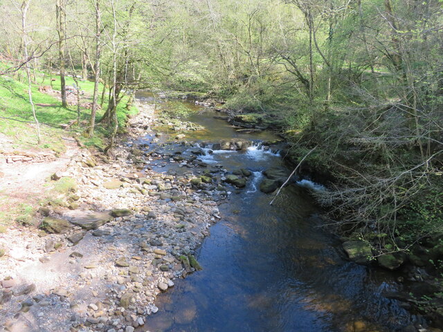
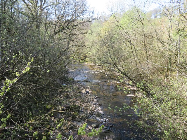
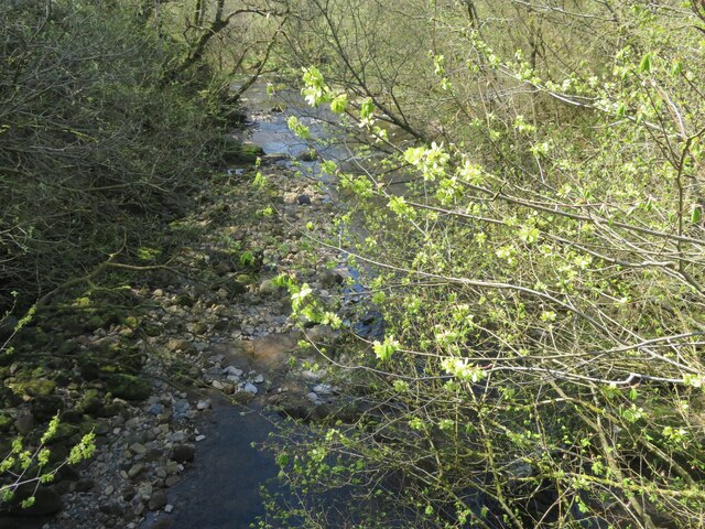
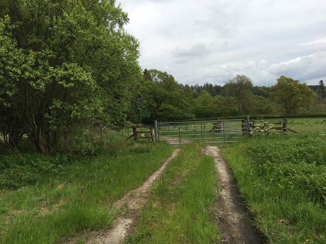
Skelly Pool is a picturesque freshwater body located in Dumfriesshire, Scotland. Nestled amidst rolling hills and verdant landscapes, it is a popular destination for both locals and tourists alike. The pool covers an area of approximately 10 acres and is surrounded by lush vegetation, giving it a serene and tranquil ambiance.

The pool is fed by natural springs and rainwater runoff, ensuring a constant supply of clean and freshwater. It is known for its crystal-clear waters, making it an ideal spot for swimming and other water activities. The average depth of Skelly Pool is around 6 feet, with some deeper sections reaching up to 10 feet.

Surrounding the pool is a diverse range of flora and fauna, creating a haven for wildlife enthusiasts and nature lovers. The marshy areas around the pool are home to various species of plants and aquatic life, including water lilies, reeds, and dragonflies. Birdwatchers can also spot a variety of avian species, such as herons and ducks, frequenting the pool.

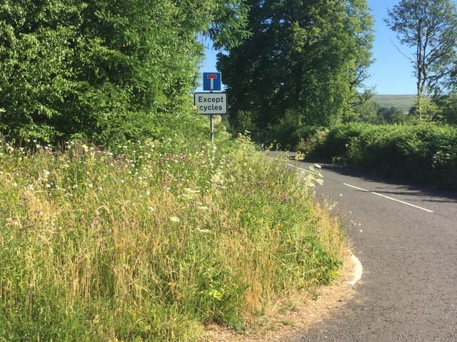
Skelly Pool offers amenities for visitors, including picnic areas, walking trails, and a small car park. It is a popular spot for families, providing a safe and enjoyable environment for children to explore and play.

Whether it's swimming, birdwatching, or simply enjoying the tranquil surroundings, Skelly Pool offers a delightful experience for all who visit. With its natural beauty and diverse ecosystem, it is a hidden gem in the heart of Dumfriesshire.

If you have any feedback on the listing, please let us know in the comments section below.
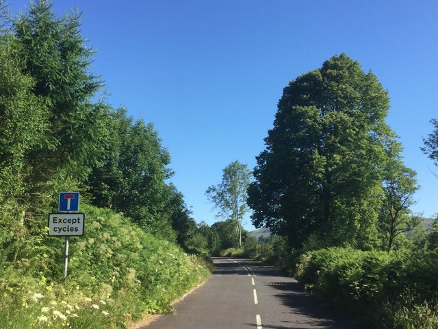
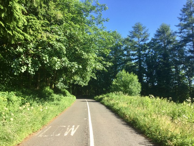
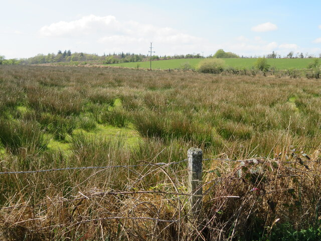
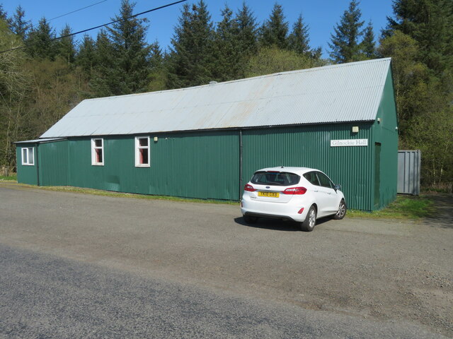
Skelly Pool Images

Images are sourced within 2km of 55.103739/-2.9778995 or Grid Reference NY3779. Thanks to Geograph Open Source API. All images are credited.

The Tarras Water Looking upstream from the B6318 bridge over, with about 800 m to go before it joins the River Esk.
The Tarras Water
Looking upstream from the B6318 bridge over, with about 800 m to go before it joins the River Esk.
The Tarras Water Looking downstream from the B6318 bridge over, with about 800 m to go before it joins the River Esk.
The Tarras Water
Looking downstream from the B6318 bridge over, with about 800 m to go before it joins the River Esk.
The Tarras Water Looking downstream from the B6318 bridge over, with about 800 m to go before it joins the River Esk. The light green on the nearby twigs are fruits of an overhanging Elm.
The Tarras Water
Looking downstream from the B6318 bridge over, with about 800 m to go before it joins the River Esk. The light green on the nearby twigs are fruits of an overhanging Elm.
The old A7 Now replaced by a wide and straight route above, this is the former alignment near the Esk, downstream of Langholm. Some of the old road is accessible as a through loop, this bit narrows to a path at the north end.
The old A7
Now replaced by a wide and straight route above, this is the former alignment near the Esk, downstream of Langholm. Some of the old road is accessible as a through loop, this bit narrows to a path at the north end.
Old A7 Now a loop road below the modern alignment south of Langholm.
Old A7
Now a loop road below the modern alignment south of Langholm.
Road (B6318) at Upper Mumbie Looking north-westward.
Road (B6318) at Upper Mumbie
Looking north-westward.
Ordnance Survey Cut Mark This mark can be found on the wall of a roadside building at Upper Mumbie Farm. The benchmark height is recorded as being 102.927 metres above sea level.
For more detail see : <span class="nowrap"><a title="https://www.bench-marks.org.uk/bm43287" rel="nofollow ugc noopener" href="https://www.bench-marks.org.uk/bm43287">Link</a><img style="margin-left:2px;" alt="External link" title="External link - shift click to open in new window" src="https://s1.geograph.org.uk/img/external.png" width="10" height="10"/></span>
Ordnance Survey Cut Mark
This mark can be found on the wall of a roadside building at Upper Mumbie Farm. The benchmark height is recorded as being 102.927 metres above sea level. For more detail see : LinkExternal link
Upper Mumbie, Farm Building Farm building at Upper Mumbie Farm, named as Upper Mumbiehirst on maps prior to the mid-1950's. There is an OS cut benchmark on this building - <span class="nowrap"><a title="https://www.bench-marks.org.uk/bm43287" rel="nofollow ugc noopener" href="https://www.bench-marks.org.uk/bm43287">Link</a><img style="margin-left:2px;" alt="External link" title="External link - shift click to open in new window" src="https://s1.geograph.org.uk/img/external.png" width="10" height="10"/></span>
Upper Mumbie, Farm Building
Farm building at Upper Mumbie Farm, named as Upper Mumbiehirst on maps prior to the mid-1950's. There is an OS cut benchmark on this building - LinkExternal link
Benchmark at Upper Mumbie Ordnance Survey benchmark on a farm building at Upper Mumbie Farm - <span class="nowrap"><a title="https://www.bench-marks.org.uk/bm43287" rel="nofollow ugc noopener" href="https://www.bench-marks.org.uk/bm43287">Link</a><img style="margin-left:2px;" alt="External link" title="External link - shift click to open in new window" src="https://s1.geograph.org.uk/img/external.png" width="10" height="10"/></span>
Benchmark at Upper Mumbie
Ordnance Survey benchmark on a farm building at Upper Mumbie Farm - LinkExternal link
Extremely rushy ground at Gilnockie Near Claygate, with much more of a upland moorland feel about it.
Extremely rushy ground at Gilnockie
Near Claygate, with much more of a upland moorland feel about it.
Gilnockie Hall Just south of Claygate.
Gilnockie Hall
Just south of Claygate.
Free-range chickens at Claygate Some with feathered feet <a href="https://www.geograph.org.uk/photo/7158534">NY3979 : Feather-footed chicken at Claygate</a>.
Free-range chickens at Claygate
Feather-footed chicken at Claygate One of several literally free-range birds roaming in a garden open to the road.
Feather-footed chicken at Claygate
One of several literally free-range birds roaming in a garden open to the road.
Telephone box at Claygate The B6318 continues left here, while the road continues ahead towards Gilnockie.
Telephone box at Claygate
The B6318 continues left here, while the road continues ahead towards Gilnockie.
The B6318 at Claygate The road heads east towards Byreburn.
The B6318 at Claygate
The road heads east towards Byreburn.
Gated farm track near Enthorn
Gilnockie Tower Originally known as Hollows Tower, Gilnockie Tower is a 16th-century tower house on the banks of the River Esk. It was built around 1520 by Johnnie Armstrong of Gilnockie who was one of the most famous border reivers.
Gilnockie Tower
Originally known as Hollows Tower, Gilnockie Tower is a 16th-century tower house on the banks of the River Esk. It was built around 1520 by Johnnie Armstrong of Gilnockie who was one of the most famous border reivers.
Show me another place!

Skelly Pool is located at Grid Ref: NY3779 (Lat: 55.103739, Lng: -2.9778995)

Unitary Authority: Dumfries and Galloway

Police Authority: Dumfries and Galloway

What 3 Words

///rally.tilt.triathlon. Near Langholm, Dumfries & Galloway

Related Wikis

Glencartholm

Glencartholm is a location in Dumfries and Galloway, southern Scotland, along the River Esk. The Glencartholm Volcanic Beds contain a Palaeozoic (specifically...
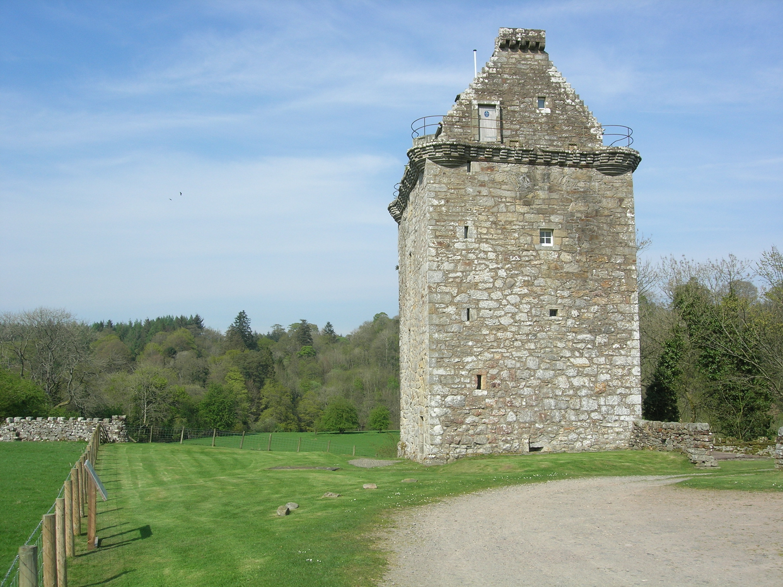
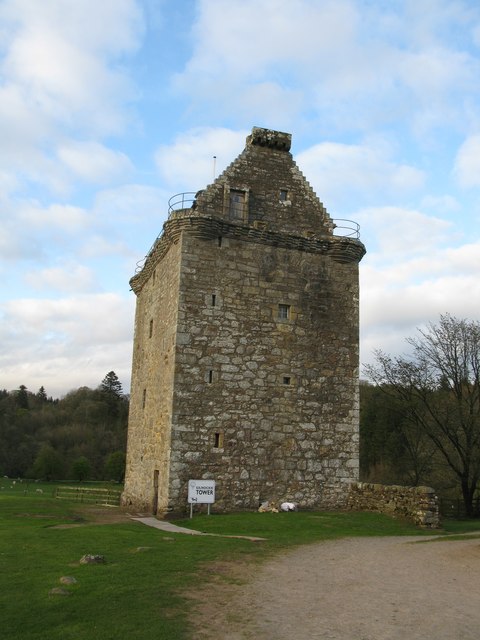
Gilnockie Tower

Gilnockie Tower is a 16th-century tower house, located at the hamlet of Hollows, 2.3 km north of Canonbie, in Dumfriesshire, south-west Scotland. The tower...

Gilnockie railway station

Gilnockie railway station served the hamlet of Hollows, Dumfries and Galloway, Scotland from 1864 to 1967 on the Border Union Railway. == History == The...

Fairy Loup

Fairy Loup is a waterfall located on Byre Burn, a tributary of River Esk, in Dumfries and Galloway, Scotland. The waterfall's name originates in a local...

Nearby Amenities

Located within 500m of 55.103739,-2.9778995
Hagg on Esk
Naptan AtcoCode: 680000640111
Naptan Bearing: N
Naptan BusStopType: CUS
Naptan CommonName: Hagg on Esk
Naptan Indicator: Road End
Naptan Landmark: Hagg on Esk
Naptan NaptanCode: 34237539
Naptan Notes: none
Naptan Street: A7
Naptan Verified: no
Source: naptan_import
Lat/Long: 55.1048079/-2.980017
Bus Stop
Hagg
Bus: yes
Naptan AtcoCode: 680000640222
Naptan Bearing: S
Naptan CommonName: Hagg
Naptan Indicator: opp Road End
Naptan NaptanCode: 34237542
Naptan Street: A7
Public Transport: platform
Ref: 680000640222
Source: NaPTAN
Lat/Long: 55.104758/-2.9795023
Power: pole
Lat/Long: 55.1008157/-2.9736987
Power: pole
Lat/Long: 55.1014986/-2.9744631
Power: pole
Lat/Long: 55.1021906/-2.9752865
Power: pole
Lat/Long: 55.1028812/-2.9760939
Power: pole
Lat/Long: 55.1037236/-2.9770783
Power: pole
Lat/Long: 55.1042499/-2.9773545
Power: pole
Lat/Long: 55.1047885/-2.9776415
Power: pole
Lat/Long: 55.1054944/-2.9780063
Power: pole
Lat/Long: 55.1061848/-2.978363
Power: pole
Lat/Long: 55.1068738/-2.9787278
Power: pole
Lat/Long: 55.1076302/-2.9800957
Power: pole
Lat/Long: 55.0993514/-2.9763209
Power: pole
Lat/Long: 55.0995046/-2.977786
Power: pole
Lat/Long: 55.1046578/-2.9780898
The data included in this document is from www.openstreetmap.org. The data is made available under ODbL.

Have you been to Skelly Pool?

Leave your review of Skelly Pool below (or comments, questions and feedback).