Ascreavie Wood

Wood, Forest in Angus

Scotland

Ascreavie Wood

Valley of the Quharity Burn The minor road keeps to the slopes on the left of this flat bottomed valley where the little Quharity Burn meanders slowly along. This must be a misfit stream in an oversized valley, which in turn must have seen glacial action and may well have once held a lake.
Valley of the Quharity Burn Credit: Gordon Hatton

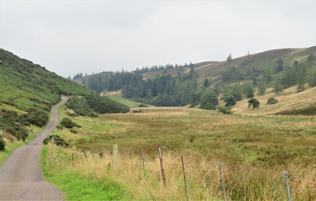
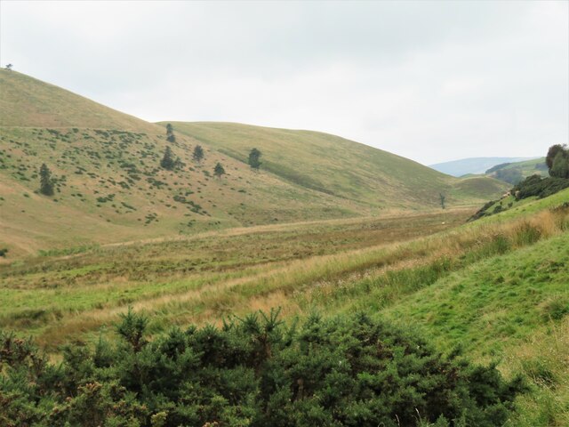
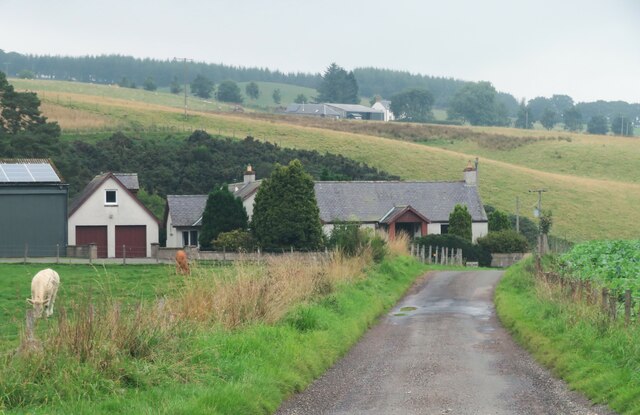
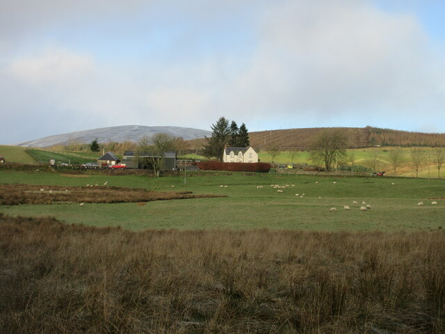
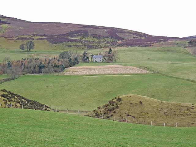
Ascreavie Wood is a picturesque forest located in the rural countryside of Angus, Scotland. Covering an area of approximately 200 acres, it is a diverse woodland that boasts a rich variety of flora and fauna, making it a haven for nature enthusiasts and wildlife lovers alike.

The wood is primarily composed of native tree species, including oak, ash, birch, and beech. These trees create a dense and vibrant canopy that provides shade and shelter for a multitude of plant and animal species. The forest floor is covered with a carpet of mosses, ferns, and wildflowers, adding to the wood's enchanting charm.

Ascreavie Wood is crisscrossed by a network of well-maintained trails, allowing visitors to explore its beauty on foot. These paths lead through ancient woodlands, past bubbling streams, and up gentle slopes, providing breathtaking views of the surrounding countryside. The wood also features a small pond, which serves as a watering hole for various bird species and other wildlife.

The forest is home to a diverse range of animals, including red squirrels, badgers, and roe deer. Birdwatchers will be delighted to spot a variety of species, such as woodpeckers, owls, and songbirds, as they flit amongst the treetops.

Ascreavie Wood offers visitors a tranquil escape from the hustle and bustle of everyday life. Whether you are seeking a peaceful walk, a birdwatching adventure, or simply a chance to reconnect with nature, this charming woodland is sure to delight and inspire.

If you have any feedback on the listing, please let us know in the comments section below.

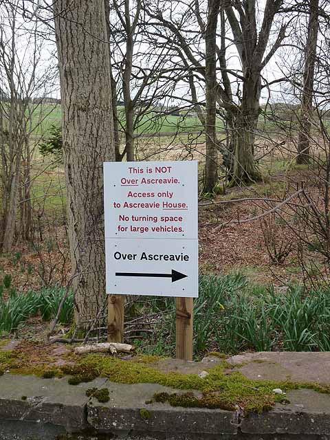
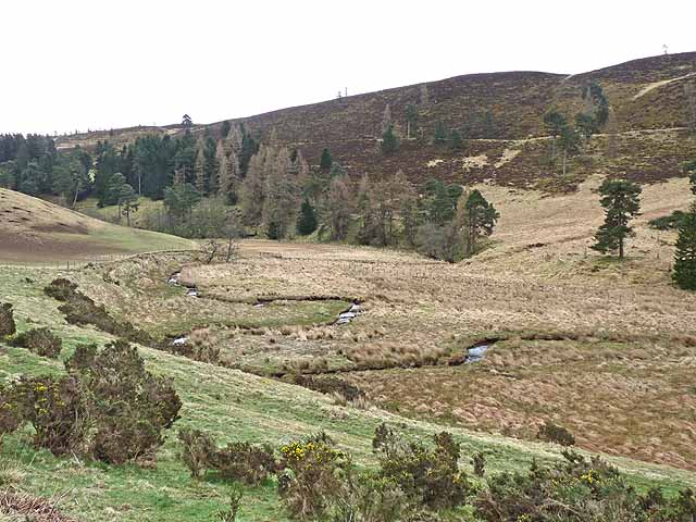
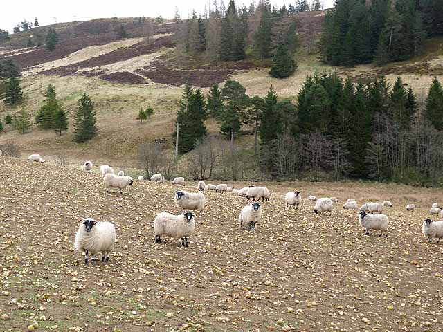
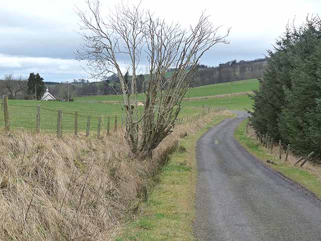
Ascreavie Wood Images

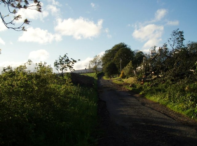
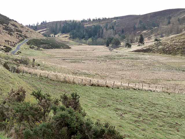
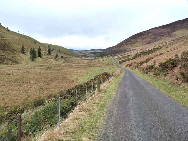
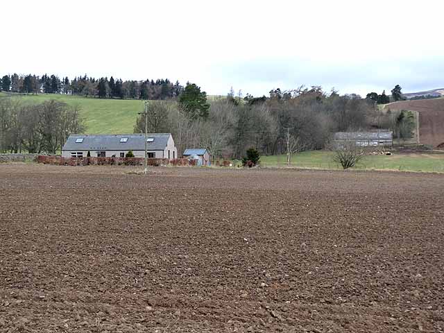
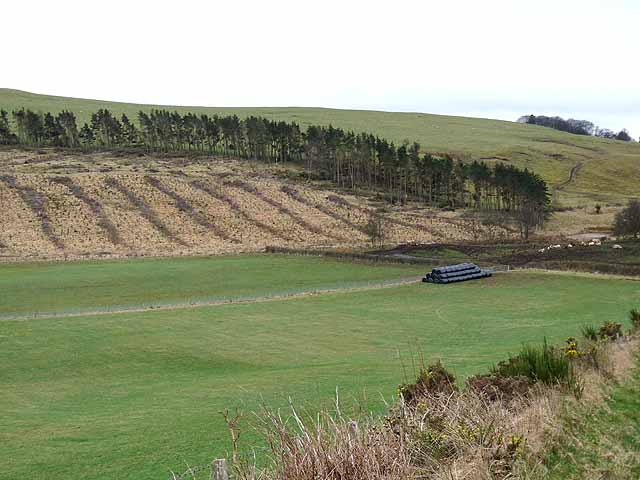
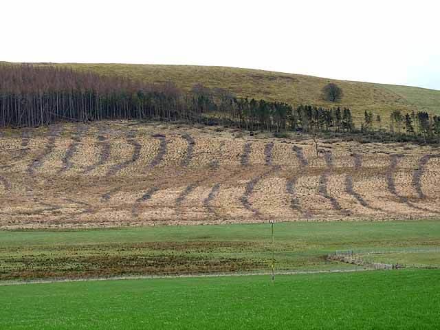
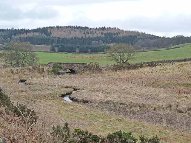
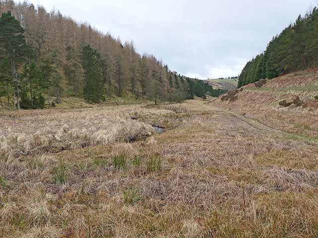
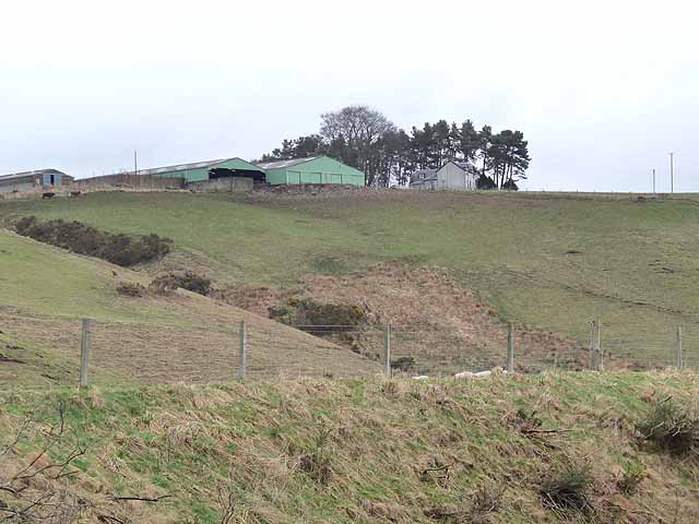
Images are sourced within 2km of 56.706777/-3.0815442 or Grid Reference NO3357. Thanks to Geograph Open Source API. All images are credited.

Valley of the Quharity Burn The minor road keeps to the slopes on the left of this flat bottomed valley where the little Quharity Burn meanders slowly along. This must be a misfit stream in an oversized valley, which in turn must have seen glacial action and may well have once held a lake.
Valley of the Quharity Burn
The minor road keeps to the slopes on the left of this flat bottomed valley where the little Quharity Burn meanders slowly along. This must be a misfit stream in an oversized valley, which in turn must have seen glacial action and may well have once held a lake.
Looking west along the valley towards Audallan The curious valley of the Quharity Burn, a very small stream in an impressive, steep sided valley which runs west to east along the base of the big hills instead of away from them. This bears all the hallmarks of a glacial spillway or overflow channel carved out at a time when the ice age was coming to an end.
Looking west along the valley towards Audallan
The curious valley of the Quharity Burn, a very small stream in an impressive, steep sided valley which runs west to east along the base of the big hills instead of away from them. This bears all the hallmarks of a glacial spillway or overflow channel carved out at a time when the ice age was coming to an end.
Minor Road at Bridgend of Balloch The house at Bridgend of Balloch stands above a loop of the Quharity Burn, a curious little stream which has at this point emerged from a deep valley before wandering rather aimlessly through this area and then suddenly cutting south through another steep sided valley. All these features must be linked to work by ice and meltwaters.
Minor Road at Bridgend of Balloch
The house at Bridgend of Balloch stands above a loop of the Quharity Burn, a curious little stream which has at this point emerged from a deep valley before wandering rather aimlessly through this area and then suddenly cutting south through another steep sided valley. All these features must be linked to work by ice and meltwaters.
Nether Balgray Nether Balgray farm viewed from the road to the south.
Nether Balgray
Nether Balgray farm viewed from the road to the south.
After the storm A May storm had felled many trees. The remains of one lie to the right after road was cleared.
After the storm
A May storm had felled many trees. The remains of one lie to the right after road was cleared.
The "High Road" and the valley of the Quharity Burn The valley of the Quharity Burn which runs along the foot of the Highlands to the north (left) gives the strong impression of having been a glacial overflow channel dating from the Ice Age.
The "High Road" and the valley of the Quharity Burn
The valley of the Quharity Burn which runs along the foot of the Highlands to the north (left) gives the strong impression of having been a glacial overflow channel dating from the Ice Age.
The "High Road" and the valley of the Quharity Burn The valley of the Quharity Burn which runs along the foot of the Highlands to the north (right) gives the strong impression of having been a glacial overflow channel dating from the Ice Age.
The "High Road" and the valley of the Quharity Burn
The valley of the Quharity Burn which runs along the foot of the Highlands to the north (right) gives the strong impression of having been a glacial overflow channel dating from the Ice Age.
Aucharroch Farm
Aucharroch Farm
Peevish notice Fed up with the sat navs getting it wrong.
Peevish notice
Fed up with the sat navs getting it wrong.
Meanders in the Quharity Burn The valley of the Quharity Burn which runs along the foot of the Highlands to the north (left) gives the strong impression of having been a glacial overflow channel dating from the Ice Age.
Meanders in the Quharity Burn
The valley of the Quharity Burn which runs along the foot of the Highlands to the north (left) gives the strong impression of having been a glacial overflow channel dating from the Ice Age.
Sheep folded on root crops In the valley of the Quharity Burn.
Sheep folded on root crops
In the valley of the Quharity Burn.
Country road near Over Ascreavie
Clunehill Wood Much of the woodland has now been cleared.
Clunehill Wood
Much of the woodland has now been cleared.
Clunehill Wood Much of the lower part of the wood has now been cleared.
Clunehill Wood
Much of the lower part of the wood has now been cleared.
Bridge over the Quharity Burn The valley of the Quharity Burn which runs along the foot of the Highlands to the north (left) gives the strong impression of having been a glacial overflow channel dating from the Ice Age. The large wood in the distance adjoins the lower end of Glen Prosen.
Bridge over the Quharity Burn
The valley of the Quharity Burn which runs along the foot of the Highlands to the north (left) gives the strong impression of having been a glacial overflow channel dating from the Ice Age. The large wood in the distance adjoins the lower end of Glen Prosen.
Valley of the Quharity Burn The marshy valley of the Quharity Burn which runs along the foot of the Highlands to the north (right) gives the strong impression of having been a glacial overflow channel dating from the Ice Age.
Valley of the Quharity Burn
The marshy valley of the Quharity Burn which runs along the foot of the Highlands to the north (right) gives the strong impression of having been a glacial overflow channel dating from the Ice Age.
Upper Balgray Farm standing at the top of a steep bluff rising from the valley of the Quharity Burn.
Upper Balgray
Farm standing at the top of a steep bluff rising from the valley of the Quharity Burn.
Wester Pearsie Isolated house at the foot of Linkie Hill <a href="https://www.geograph.org.uk/gridref/NO3359">NO3359</a>.
Wester Pearsie
Isolated house at the foot of Linkie Hill NO3359.
Show me another place!

Ascreavie Wood is located at Grid Ref: NO3357 (Lat: 56.706777, Lng: -3.0815442)

Unitary Authority: Angus

Police Authority: Tayside

What 3 Words

///loafing.universe.dweller. Near Kirriemuir, Angus

Related Wikis

Nearby Amenities

Located within 500m of 56.706777,-3.0815442
Ascreavie Hill
Ele: 279
Natural: peak
Lat/Long: 56.7065998/-3.0749939
Power: pole
Lat/Long: 56.7030923/-3.0854751
Power: pole
Lat/Long: 56.7031737/-3.0842294
Power: pole
Lat/Long: 56.7032696/-3.0829772
Power: pole
Lat/Long: 56.7033547/-3.081705
Power: pole
Lat/Long: 56.7034482/-3.080435
Power: pole
Lat/Long: 56.7035332/-3.0792358
Power: pole
Lat/Long: 56.703617/-3.0780034
Power: pole
Lat/Long: 56.7037118/-3.0767224
Power: pole
Lat/Long: 56.7037859/-3.0757334
Power: pole
Lat/Long: 56.7074465/-3.0734744
Power: pole
Lat/Long: 56.7079772/-3.073647
Power: pole
Lat/Long: 56.7026478/-3.0837006
Power: pole
Lat/Long: 56.7028328/-3.0814225
The data included in this document is from www.openstreetmap.org. The data is made available under ODbL.

Have you been to Ascreavie Wood?

Leave your review of Ascreavie Wood below (or comments, questions and feedback).